Burnside

Settlement in Ross-shire

Scotland

Burnside

Flying the flag - proud to be Scottish
Flying the flag - proud to be Scottish Credit: Peter Moore

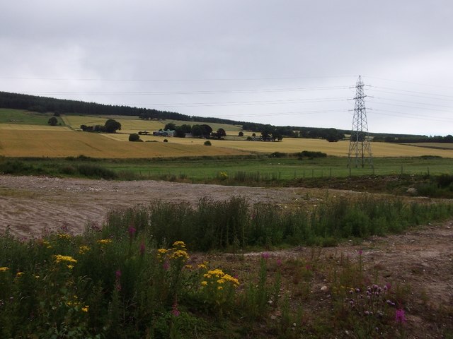
Burnside is a small village located in Ross-shire, Scotland. Situated in the Scottish Highlands, it is nestled between the stunning landscapes of the Cromarty Firth and the Black Isle Peninsula. With a population of around 500 residents, Burnside exudes a tranquil and close-knit community atmosphere.

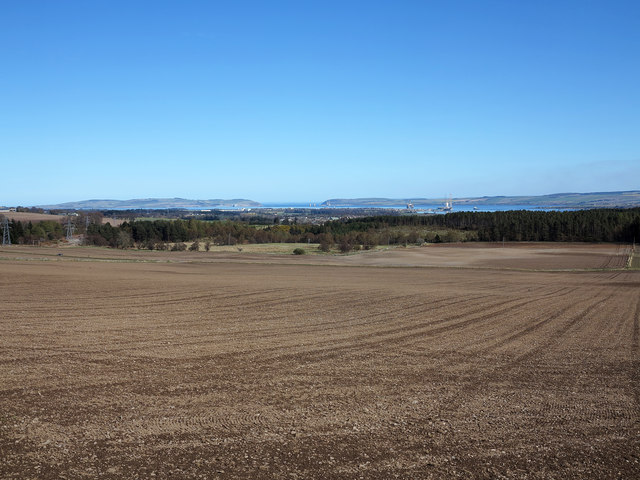
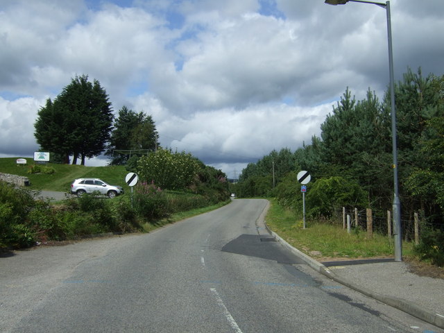
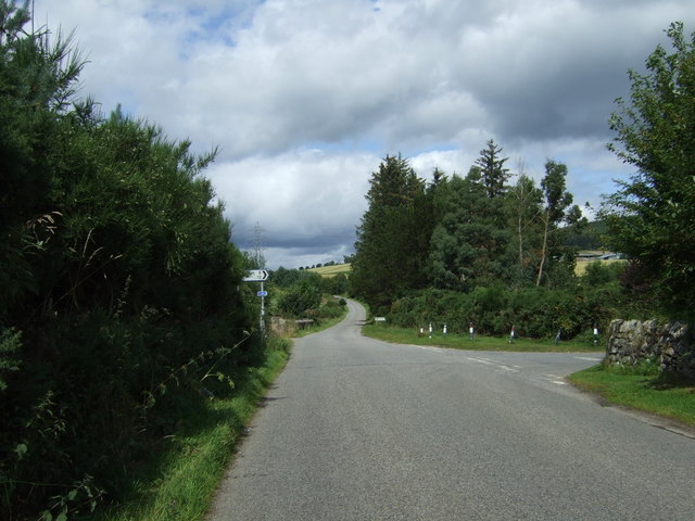
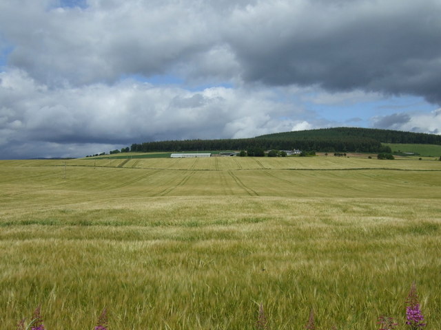
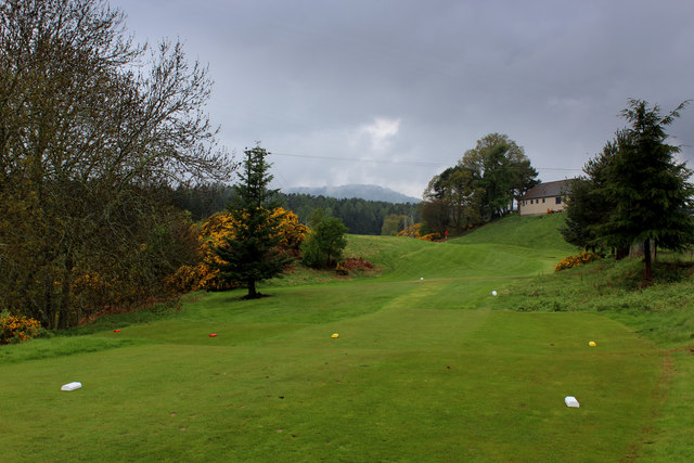
The village is surrounded by picturesque rolling hills, lush green fields, and breathtaking views of the surrounding countryside. Burnside is known for its idyllic setting, making it a popular destination for nature lovers and outdoor enthusiasts. The nearby forests and trails offer ample opportunities for hiking, cycling, and birdwatching.

Despite its small size, Burnside has a rich history. The village was established in the 19th century and was primarily a farming community. Today, remnants of its agricultural past can still be seen, with a few working farms in the area. The village also boasts a charming primary school, a local pub, and a community center where various activities and events take place.

For those seeking a peaceful getaway, Burnside offers a sense of tranquility and escape from the hustle and bustle of urban life. The friendly and welcoming locals contribute to the sense of community, making visitors feel right at home. Whether it's exploring the natural beauty of the Highlands or immersing oneself in the local culture, Burnside is a hidden gem that offers a truly authentic Scottish experience.

If you have any feedback on the listing, please let us know in the comments section below.
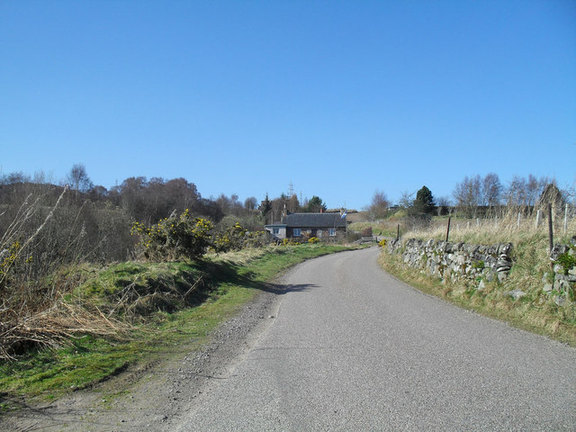
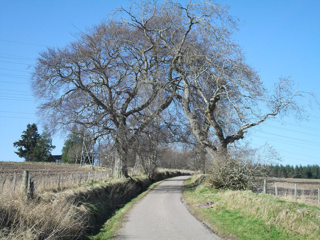
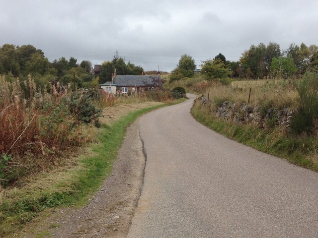
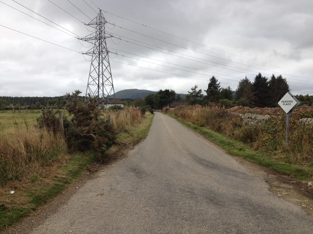
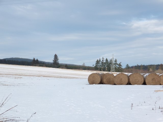
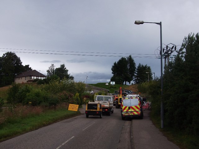
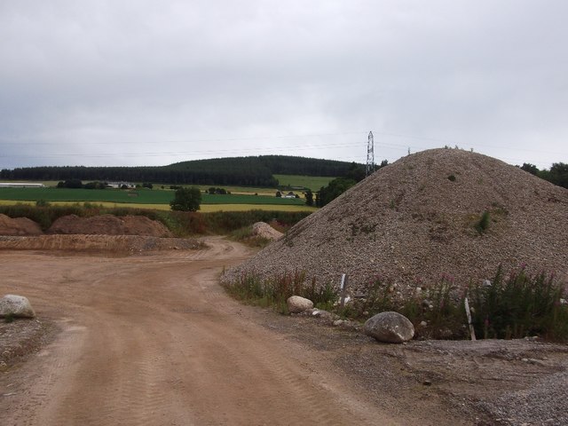
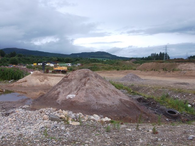
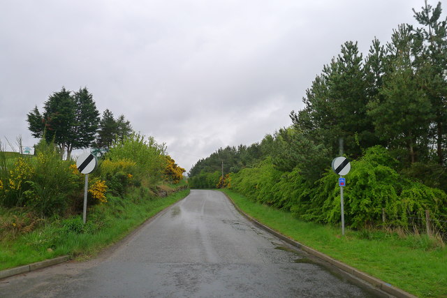
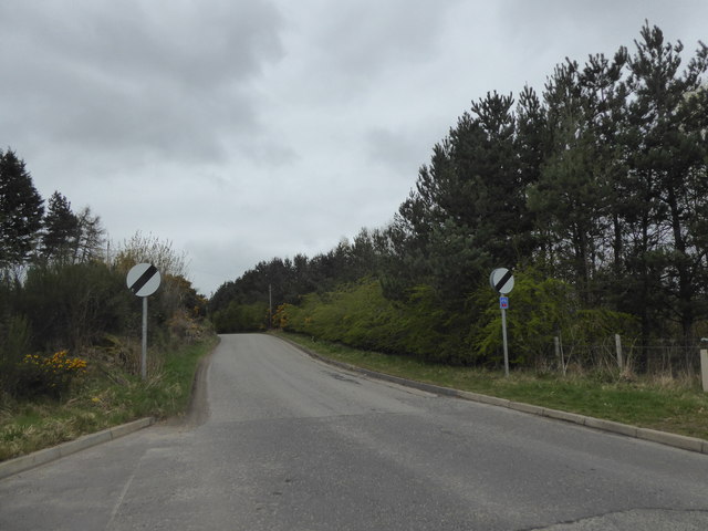
Burnside Images

Images are sourced within 2km of 57.694761/-4.2773261 or Grid Reference NH6469. Thanks to Geograph Open Source API. All images are credited.

Flying the flag - proud to be Scottish
Arborial Archway
Arborial Archway
Minor road at Contullich
Minor road near Alness
Earthen fields north of Alness The view across prairie-like fields is to the east where the opening of the Cromarty Firth can be seen at the horizon's centre. The steel town of Invergordon and oil rigs can be detected too.
Earthen fields north of Alness
The view across prairie-like fields is to the east where the opening of the Cromarty Firth can be seen at the horizon's centre. The steel town of Invergordon and oil rigs can be detected too.
Heading north out of Alness On National Cycle Route 1.
Heading north out of Alness
On National Cycle Route 1.
Turn right for National Cycle Route 1
Crop field north of National Cycle Route 1
Bales in a snowy field by Contullich
Closed road, Alness Completely closed, but there was always the trick of cutting through the golf club car park. However somebody's son or daughter had thought of that and placed the opposite fence precisely to prevent that.  Thanks!

A local provided a work round by directing me through a nearby quarry!
Closed road, Alness
Completely closed, but there was always the trick of cutting through the golf club car park. However somebody's son or daughter had thought of that and placed the opposite fence precisely to prevent that. Thanks! A local provided a work round by directing me through a nearby quarry!
Quarry, Alness A local pointed out a road through here as a way of getting around the day's road closure (there is always a closed road).
Quarry, Alness
A local pointed out a road through here as a way of getting around the day's road closure (there is always a closed road).
Quarry, Alness A selection of water polished stones and gravel, quarried behind Alness.
Quarry, Alness
A selection of water polished stones and gravel, quarried behind Alness.
Quarry, Alness There is a band of quarries and gravel pits behind Alness.
Quarry, Alness
There is a band of quarries and gravel pits behind Alness.
Quarry, Alness Looks as if glacial deposits are being quarried here.
Quarry, Alness
Looks as if glacial deposits are being quarried here.
Footbridge over the River Averon or River Alness
Fairway on Alness Golf Course Fairway on this picturesque golf course - heading towards the club house.
Fairway on Alness Golf Course
Fairway on this picturesque golf course - heading towards the club house.
Leaving Alness on Ardross Road Walking on tarmac shared with Cycle Route 1 (again). But, unknown to us at the time, also following the newly-created (still being established) John O'Groats Trail.
Leaving Alness on Ardross Road
Walking on tarmac shared with Cycle Route 1 (again). But, unknown to us at the time, also following the newly-created (still being established) John O'Groats Trail.
Leaving Alness on Ardross Road
Show me another place!

Burnside is located at Grid Ref: NH6469 (Lat: 57.694761, Lng: -4.2773261)

Unitary Authority: Highland

Police Authority: Highlands and Islands

What 3 Words

///zaps.electrode.haystack. Near Alness, Highland

Nearby Locations

Westford Burnside Firhill

Related Wikis

Teaninich Castle

Teaninich Castle is situated north of the village of Evanton and just south of the town of Alness in Ross and Cromarty, Scotland. == History == It is not...

Teaninich distillery

Teaninich distillery is a scotch whisky distillery in Alness, Scotland. == History == It was founded and built in 1817 by Hugh Munro on his estate of Teaninich...

Alness

Alness (, AWL-nis; Scottish Gaelic: Alanais) is a town and civil parish in Ross and Cromarty, Scotland. It lies near the mouth of the River Averon, near...

Contullich Castle

Contullich Castle was a castle located a few miles north-west of the town of Alness, on the eastern side of the county of Ross-shire, Scotland. The castle...

Nearby Amenities

Located within 500m of 57.694761,-4.2773261
Bus Stop
Coulhill
Bus: yes
Naptan AtcoCode: 6700712340A
Naptan Bearing: N
Naptan CommonName: Coulhill
Naptan Indicator: opp Junction
Naptan Landmark: Junction
Naptan NaptanCode: 45323243
Naptan Street: Coulpark
Naptan Verified: no
Public Transport: platform
Shelter: yes
Source: naptan_import
Lat/Long: 57.6957123/-4.2777159
Bus Stop
Coulhill
Bus: yes
Departures Board: no
Naptan AtcoCode: 6700712340B
Naptan Bearing: S
Naptan CommonName: Coulhill
Naptan Indicator: at Road Junction
Naptan Landmark: Junction
Naptan NaptanCode: 45323242
Naptan Street: Coulpark
Naptan Verified: no
Public Transport: platform
Shelter: no
Source: naptan_import
Lat/Long: 57.6958588/-4.2775964
Bus Stop
Westford
Naptan AtcoCode: 670090027A
Naptan Bearing: E
Naptan CommonName: Westford
Naptan Indicator: o/s Church
Naptan Landmark: Church
Naptan NaptanCode: 45323253
Naptan Street: Westford
Naptan Verified: no
Source: naptan_import
Lat/Long: 57.6934951/-4.2729787
Bus Stop
Westford
Naptan AtcoCode: 670090027B
Naptan Bearing: W
Naptan CommonName: Westford
Naptan Indicator: opp Church
Naptan Landmark: Church
Naptan NaptanCode: 45323254
Naptan Street: Westford
Naptan Verified: no
Source: naptan_import
Lat/Long: 57.6933155/-4.2734708
Bus Stop
Westford
Naptan AtcoCode: 670090028A
Naptan Bearing: S
Naptan CommonName: Westford
Naptan Indicator: opp Telephone Box
Naptan Landmark: Telephone Box
Naptan NaptanCode: 45323252
Naptan Street: Westford
Naptan Verified: no
Source: naptan_import
Lat/Long: 57.6940451/-4.2763693
Bus Stop
Westford
Bus: yes
Naptan AtcoCode: 670090028B
Naptan Bearing: N
Naptan CommonName: Westford
Naptan Indicator: o/s 89 Westford
Naptan Landmark: 89 Westford
Naptan NaptanCode: 45323232
Naptan Street: Westford
Naptan Verified: no
Public Transport: platform
Ref: 45323232
Shelter: yes
Source: naptan_import
Lat/Long: 57.6940679/-4.2766368
Bus Stop
Westford
Naptan AtcoCode: 670090029A
Naptan Bearing: E
Naptan CommonName: Westford
Naptan Indicator: at Kirkside Road
Naptan Landmark: Bus Shelter
Naptan NaptanCode: 45323248
Naptan Street: Westford
Naptan Verified: no
Source: naptan_import
Lat/Long: 57.6948276/-4.2728272
Bus Stop
Westford
Naptan AtcoCode: 670090029B
Naptan Bearing: W
Naptan CommonName: Westford
Naptan Indicator: opp Kirkside Road
Naptan Landmark: Bus Shelter
Naptan NaptanCode: 45323265
Naptan Street: Westford
Naptan Verified: no
Source: naptan_import
Lat/Long: 57.6946167/-4.2730657
Bus Stop
Firhill
Naptan AtcoCode: 670090030A
Naptan Bearing: E
Naptan CommonName: Firhill
Naptan Indicator: opp Westford
Naptan Landmark: Westford
Naptan NaptanCode: 45323246
Naptan Street: Firhill
Naptan Verified: no
Source: naptan_import
Lat/Long: 57.695048/-4.274066
Bus Stop
Firhill
Naptan AtcoCode: 670090030B
Naptan Bearing: W
Naptan CommonName: Firhill
Naptan Indicator: on Long Straight (Westbound)
Naptan Landmark: Westford
Naptan NaptanCode: 45323245
Naptan Street: Firhill
Naptan Verified: no
Source: naptan_import
Lat/Long: 57.6948143/-4.2745716
Bus Stop
Firhill
Naptan AtcoCode: 670090031A
Naptan Bearing: E
Naptan CommonName: Firhill
Naptan Indicator: opp Steps
Naptan Landmark: Steps
Naptan NaptanCode: 45323239
Naptan Street: Firhill
Naptan Verified: no
Source: naptan_import
Lat/Long: 57.697799/-4.2759839
Bus Stop
Firhill
Naptan AtcoCode: 670090031B
Naptan Bearing: W
Naptan CommonName: Firhill
Naptan Indicator: at Steps
Naptan Landmark: Steps
Naptan NaptanCode: 45323238
Naptan Street: Firhill
Naptan Verified: no
Source: naptan_import
Lat/Long: 57.6977084/-4.2755251
Bus Stop
Firhill
Naptan AtcoCode: 670090032A
Naptan Bearing: W
Naptan CommonName: Firhill
Naptan Indicator: opp St Johns
Naptan Landmark: St Johns
Naptan NaptanCode: 45323237
Naptan Street: Firhill
Naptan Verified: no
Source: naptan_import
Lat/Long: 57.6981609/-4.2718445
Noexit: yes
Lat/Long: 57.6968257/-4.2781935
Telephone
Booth: KX100
Covered: booth
Source: survey
Lat/Long: 57.6940148/-4.2764882
Post Box
Collection Times: Mo-Fr 09:00; Sa 07:00
Post Box Type: lamp
Ref: IV17 15D
Royal Cypher: scottish_crown
Source: survey
Lat/Long: 57.6948316/-4.2714987
Generator Method: photovoltaic
Generator Output Electricity: yes
Generator Source: solar
Generator Type: solar_photovoltaic_panel
Location: roof
Power: generator
Lat/Long: 57.6968894/-4.2723513
Generator Method: photovoltaic
Generator Output Electricity: yes
Generator Source: solar
Generator Type: solar_photovoltaic_panel
Location: roof
Power: generator
Lat/Long: 57.6966443/-4.2747666
Generator Method: photovoltaic
Generator Output Electricity: yes
Generator Source: solar
Generator Type: solar_photovoltaic_panel
Location: roof
Power: generator
Lat/Long: 57.6966335/-4.2754868
Generator Method: photovoltaic
Generator Output Electricity: yes
Generator Source: solar
Generator Type: solar_photovoltaic_panel
Location: roof
Power: generator
Lat/Long: 57.6966006/-4.275472
Generator Method: photovoltaic
Generator Output Electricity: yes
Generator Source: solar
Generator Type: solar_photovoltaic_panel
Location: roof
Power: generator
Lat/Long: 57.6964443/-4.2759629
Generator Method: photovoltaic
Generator Output Electricity: yes
Generator Source: solar
Generator Type: solar_photovoltaic_panel
Location: roof
Power: generator
Lat/Long: 57.6964286/-4.2760715
Generator Method: photovoltaic
Generator Output Electricity: yes
Generator Source: solar
Generator Type: solar_photovoltaic_panel
Location: roof
Power: generator
Lat/Long: 57.6979988/-4.2772087
Generator Method: photovoltaic
Generator Output Electricity: yes
Generator Source: solar
Generator Type: solar_photovoltaic_panel
Location: roof
Power: generator
Lat/Long: 57.6987814/-4.2740276
Power: pole
Lat/Long: 57.6916143/-4.2767436
Power: pole
Lat/Long: 57.6914895/-4.2778156
Power: pole
Lat/Long: 57.691139/-4.2790948
Power: pole
Lat/Long: 57.6908036/-4.2803313
Power: pole
Lat/Long: 57.6931574/-4.2844956
Power: pole
Lat/Long: 57.6927998/-4.2837779
Power: pole
Lat/Long: 57.6924265/-4.2830216
Power: pole
Lat/Long: 57.6918454/-4.2823789
Power: pole
Lat/Long: 57.69128/-4.2817637
Bench
Backrest: no
Material: wood
Lat/Long: 57.6956847/-4.2777035
Post Box
Operator: Royal Mail
Post Box Mounting: pier
Post Box Type: lamp
Ref: IV17 16
Royal Cypher: scottish_crown
Lat/Long: 57.697242/-4.2774756
The data included in this document is from www.openstreetmap.org. The data is made available under ODbL.

Have you been to Burnside?

Leave your review of Burnside below (or comments, questions and feedback).