Burnside
Settlement in Yorkshire Craven
England
Burnside
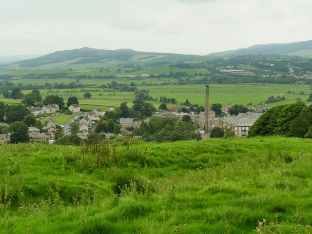
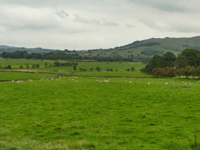
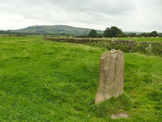
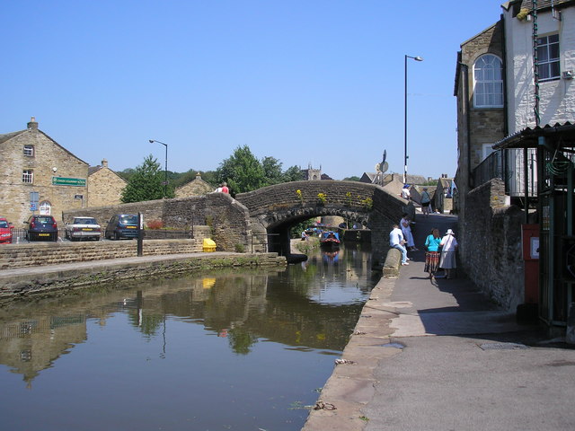
Burnside is a small village located in the county of Yorkshire, in the northern part of England. Situated in the picturesque countryside, it is surrounded by rolling hills and green fields, offering residents and visitors a tranquil and scenic environment.
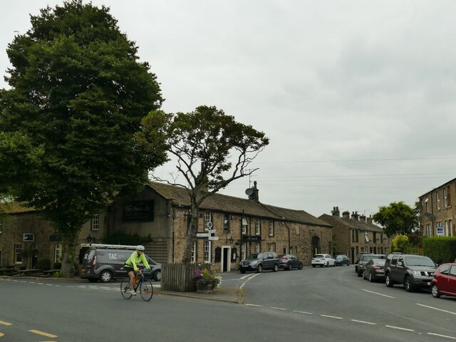
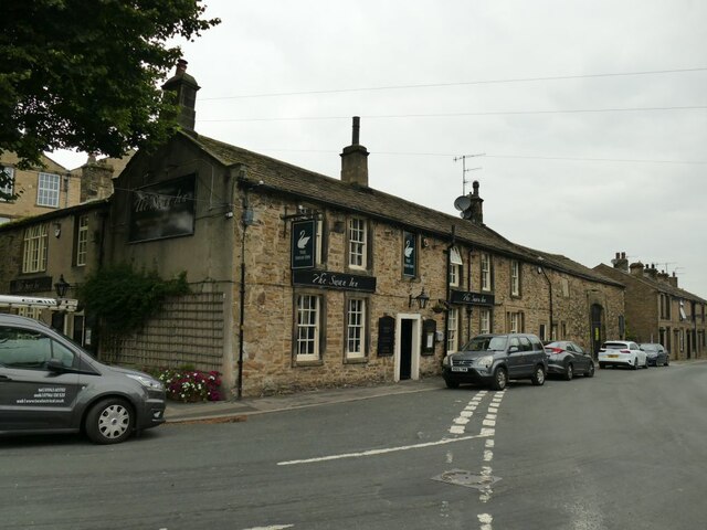
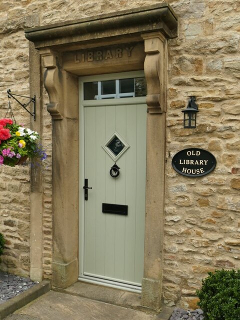
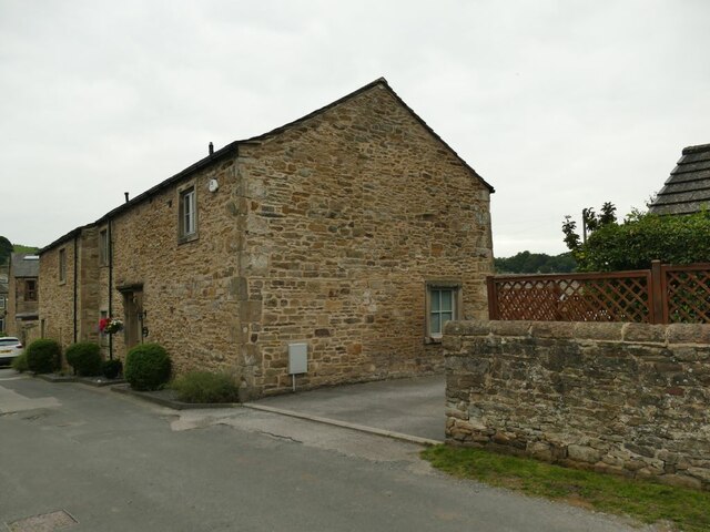
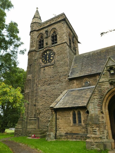
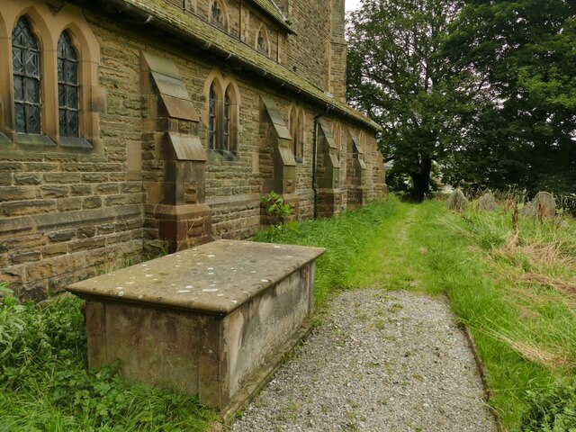
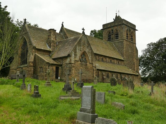
The village is characterized by its charming and traditional architecture, with many of its buildings dating back several centuries. The local stone used in the construction gives the village a distinct and timeless appeal. The streets are lined with quaint cottages, some of which have been converted into shops, cafes, and bed and breakfast establishments.
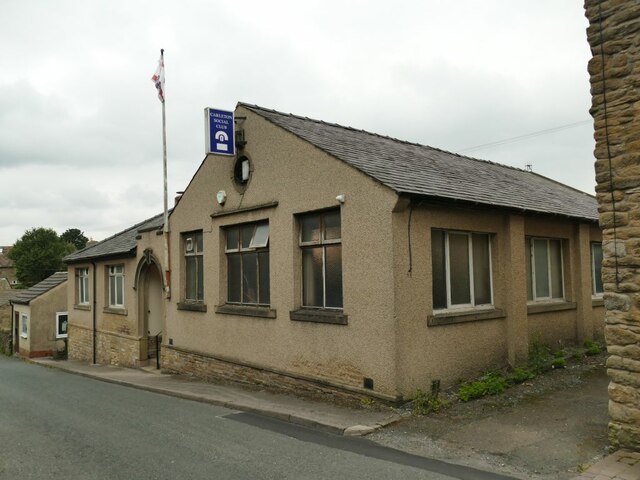
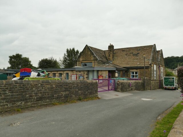
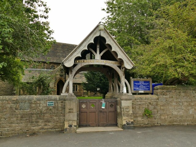
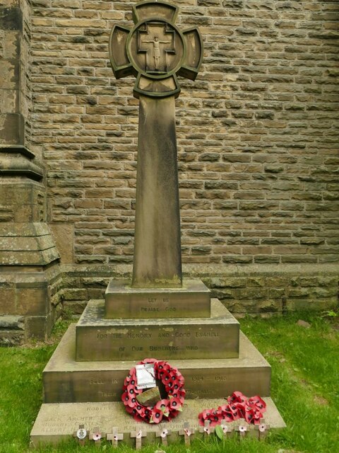
Despite its small size, Burnside boasts a close-knit community that takes pride in its village identity. The locals are known for their friendly and welcoming nature, making visitors feel right at home. The village is also home to a primary school, a church, and a village hall, which serves as a hub for various community activities and gatherings.
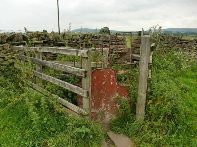
Nature enthusiasts will find plenty to explore in and around Burnside. There are numerous walking paths and trails that wind through the countryside, providing breathtaking views of the surrounding landscape. The nearby Burnside Woods offer an opportunity for peaceful walks amidst ancient trees and flourishing wildlife.
Overall, Burnside is a charming and idyllic village that offers a slice of traditional rural life in Yorkshire. Its natural beauty, community spirit, and historical charm make it an attractive destination for both residents and tourists seeking a peaceful retreat.
If you have any feedback on the listing, please let us know in the comments section below.
Burnside Images
Images are sourced within 2km of 53.953266/-2.0244972 or Grid Reference SD9850. Thanks to Geograph Open Source API. All images are credited.


Burnside is located at Grid Ref: SD9850 (Lat: 53.953266, Lng: -2.0244972)
Division: West Riding
Administrative County: North Yorkshire
District: Craven
Police Authority: North Yorkshire
What 3 Words
///tadpole.lads.smooth. Near Skipton, North Yorkshire
Nearby Locations
Related Wikis

Skipton General Hospital
Skipton General Hospital is a health facility in Keighley Road, Skipton, North Yorkshire, England. It is managed by Airedale NHS Foundation Trust. ��2...

Skipton railway station
Skipton railway station is a Grade II listed station which serves the town of Skipton in North Yorkshire, England on the Airedale Line, which gives Skipton...

Eller Beck
The Eller Beck is a small river in North Yorkshire, England, that flows through the town of Skipton and is a tributary of the River Aire. Its channel was...

Plaza Cinema, Skipton
The Plaza Cinema is a traditional cinema located in Skipton, North Yorkshire, England. It is the sole survivor of four cinemas that once existed in the...

Skipton bus station
Skipton bus station serves the town of Skipton, North Yorkshire, England. It is situated in the town centre, just off Keighley Road, and has eight stands...

Aireville Park
Aireville Park is a park in Skipton, North Yorkshire, England. == History == Aireville Park was created in the 1830s by Henry Allcock as part of the Aireville...
Thanet Canal
The Thanet Canal, also known as the Springs Branch, is a short branch of the Leeds and Liverpool Canal, in North Yorkshire, England. It leaves the main...
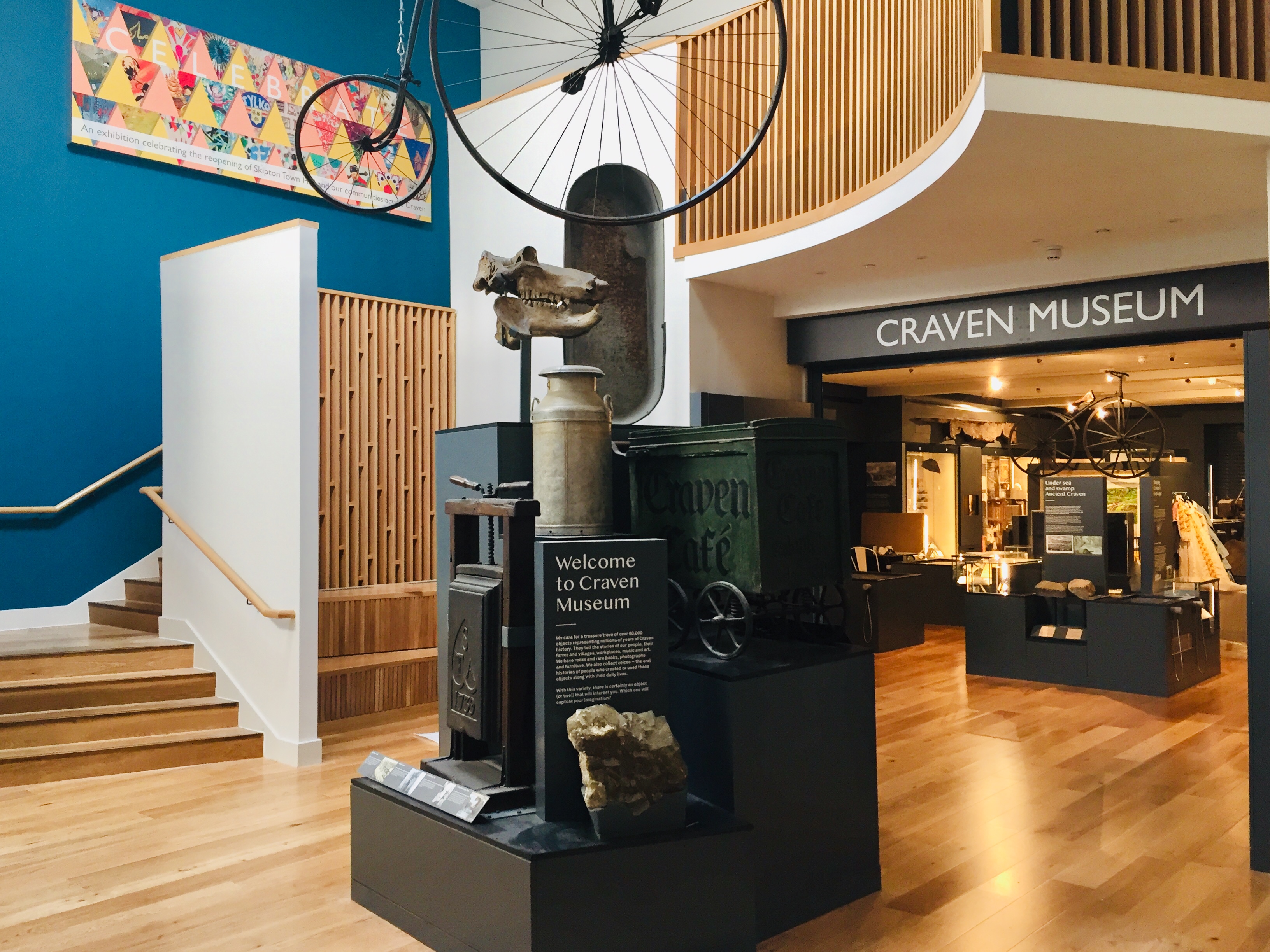
Craven Museum & Gallery
Craven Museum & Gallery is a museum located in the town of Skipton, North Yorkshire, England, in Skipton Town Hall. The museum holds a collection of local...
Nearby Amenities
Located within 500m of 53.953266,-2.0244972Have you been to Burnside?
Leave your review of Burnside below (or comments, questions and feedback).