Firhill

Settlement in Ross-shire

Scotland

Firhill

Looking west from Millcraig Farmer had been muck spreading so one had that lovely aroma of the country side - thankfully the photo cannot convey this!
Looking west from Millcraig Credit: Peter Moore

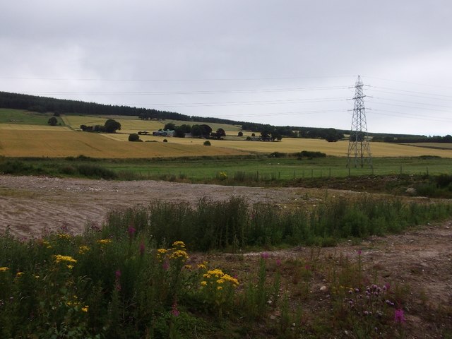
Firhill is a charming village located in the county of Ross-shire, Scotland. Situated amidst picturesque landscapes, it lies approximately 10 miles northwest of the town of Dingwall. The village is nestled along the banks of the River Conon, offering stunning views and a tranquil atmosphere.

Firhill is known for its rich history, dating back to ancient times. The area was inhabited by Picts and Celts before the arrival of the Romans in the 1st century AD. Ruins of ancient forts can still be found in the vicinity, providing a glimpse into the village's past.

With a population of around 500 residents, Firhill maintains a close-knit community feel. The village is characterized by traditional stone houses and cottages, adding to its picturesque appeal. The nearby surrounding countryside offers ample opportunities for outdoor activities such as hiking, fishing, and bird watching.

Although Firhill may be small in size, it boasts a few amenities for its residents. There is a local convenience store, a post office, and a village hall that hosts various community events throughout the year. For more extensive facilities and services, residents can easily access Dingwall, which provides a wider range of shops, schools, and healthcare facilities.

Overall, Firhill is a charming and peaceful village that offers a serene escape from the hustle and bustle of larger towns. With its natural beauty, rich history, and strong sense of community, Firhill is an idyllic place to reside or visit.

If you have any feedback on the listing, please let us know in the comments section below.
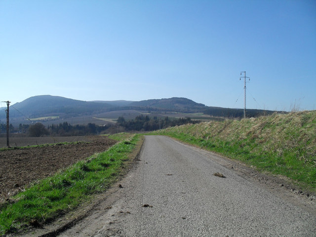
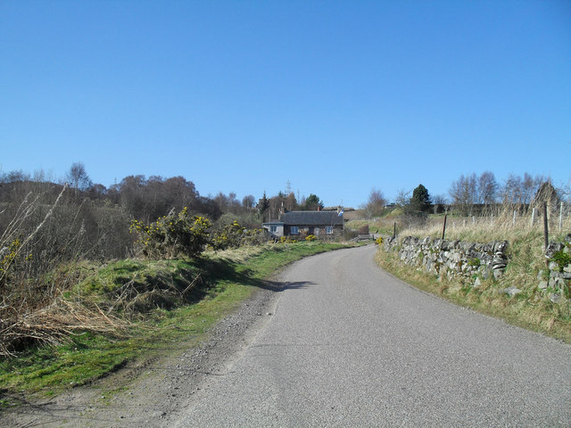
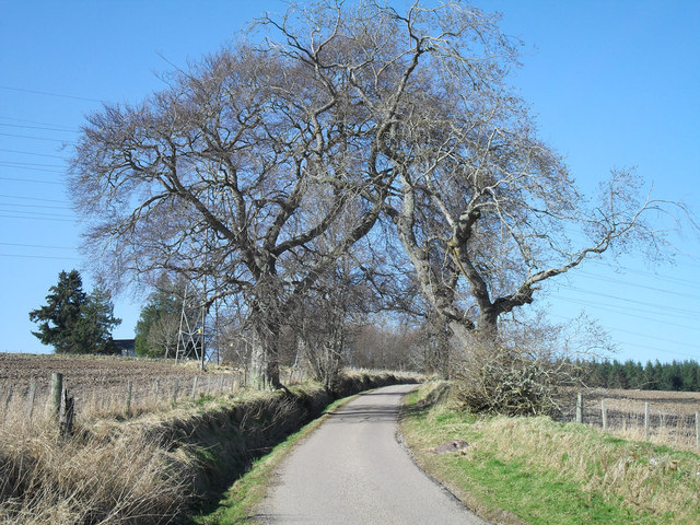
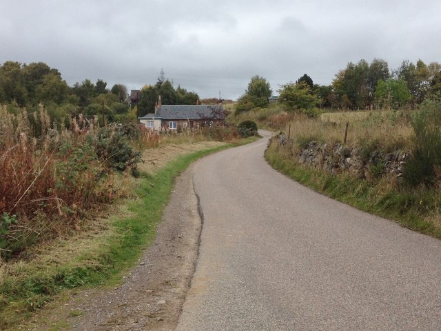
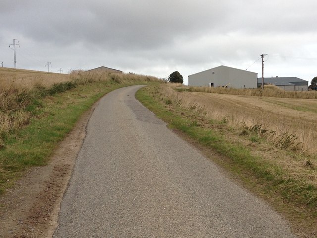
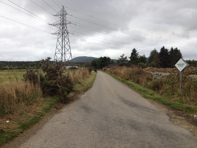
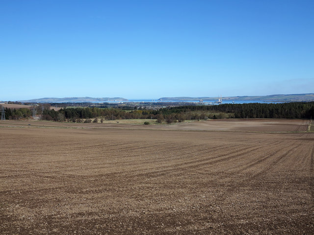
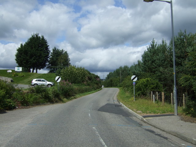
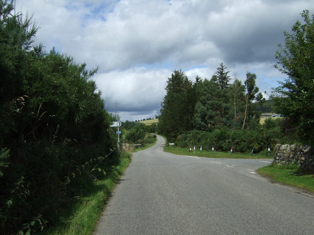
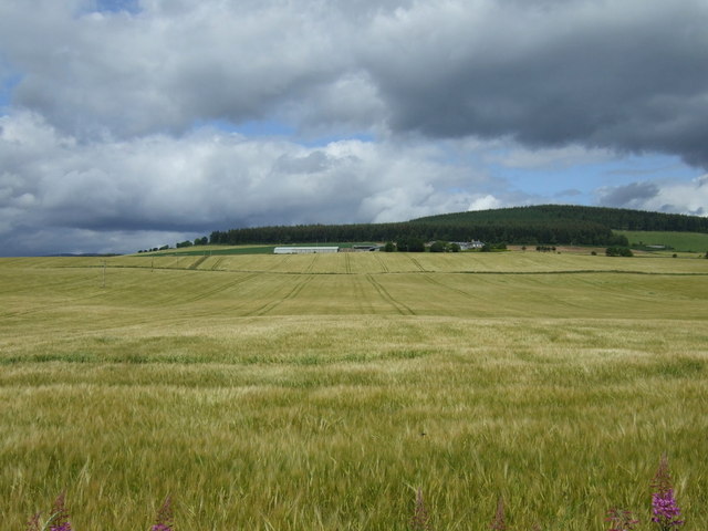
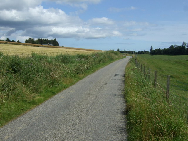
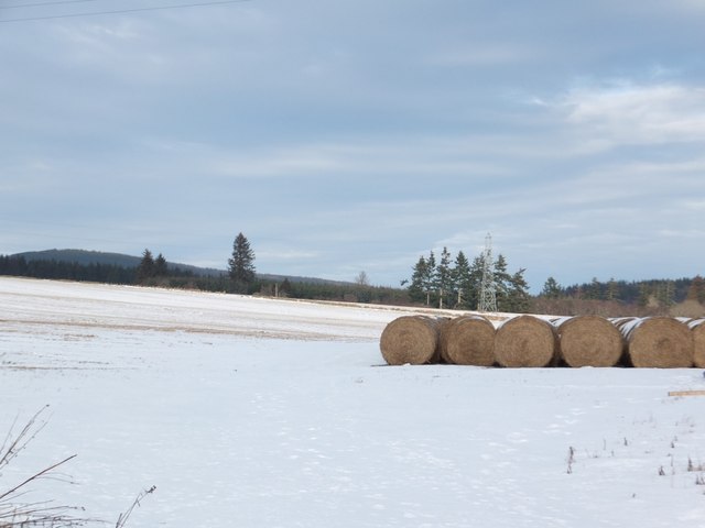
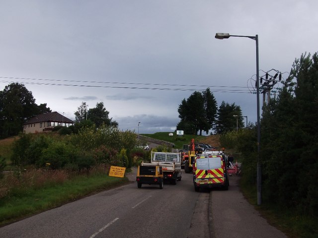
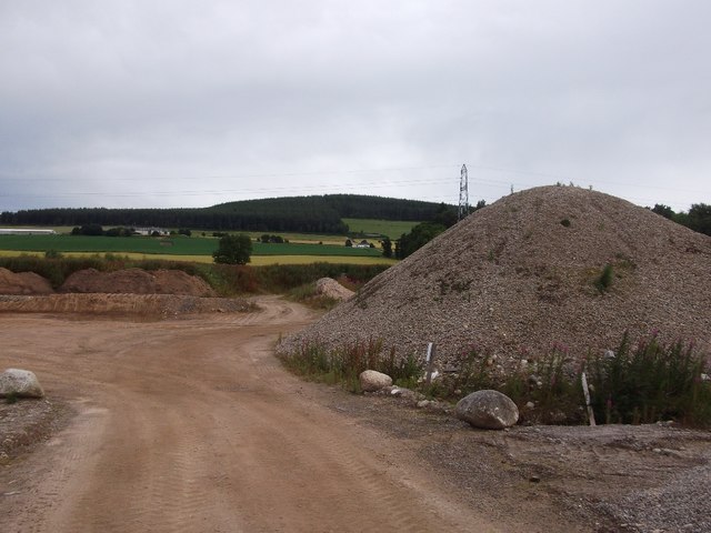
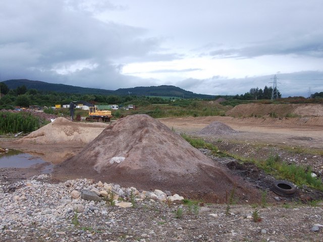
Firhill Images

Images are sourced within 2km of 57.696577/-4.27196 or Grid Reference NH6469. Thanks to Geograph Open Source API. All images are credited.

Looking west from Millcraig Farmer had been muck spreading so one had that lovely aroma of the country side - thankfully the photo cannot convey this!
Looking west from Millcraig
Farmer had been muck spreading so one had that lovely aroma of the country side - thankfully the photo cannot convey this!
Flying the flag - proud to be Scottish
Arborial Archway
Arborial Archway
Minor road at Contullich
Minor road near Millcraig Farm
Road junction near Alness
Minor road near Alness
Earthen fields north of Alness The view across prairie-like fields is to the east where the opening of the Cromarty Firth can be seen at the horizon's centre. The steel town of Invergordon and oil rigs can be detected too.
Earthen fields north of Alness
The view across prairie-like fields is to the east where the opening of the Cromarty Firth can be seen at the horizon's centre. The steel town of Invergordon and oil rigs can be detected too.
Heading north out of Alness On National Cycle Route 1.
Heading north out of Alness
On National Cycle Route 1.
Turn right for National Cycle Route 1
Crop field north of National Cycle Route 1
Grazing north of Alness South of National Cycle Route 1.
Grazing north of Alness
South of National Cycle Route 1.
National Cycle Route 1 Heading east towards Tain.
National Cycle Route 1
Heading east towards Tain.
Bales in a snowy field by Contullich
Closed road, Alness Completely closed, but there was always the trick of cutting through the golf club car park. However somebody's son or daughter had thought of that and placed the opposite fence precisely to prevent that.  Thanks!

A local provided a work round by directing me through a nearby quarry!
Closed road, Alness
Completely closed, but there was always the trick of cutting through the golf club car park. However somebody's son or daughter had thought of that and placed the opposite fence precisely to prevent that. Thanks! A local provided a work round by directing me through a nearby quarry!
Quarry, Alness A local pointed out a road through here as a way of getting around the day's road closure (there is always a closed road).
Quarry, Alness
A local pointed out a road through here as a way of getting around the day's road closure (there is always a closed road).
Quarry, Alness A selection of water polished stones and gravel, quarried behind Alness.
Quarry, Alness
A selection of water polished stones and gravel, quarried behind Alness.
Quarry, Alness There is a band of quarries and gravel pits behind Alness.
Quarry, Alness
There is a band of quarries and gravel pits behind Alness.
Show me another place!

Firhill is located at Grid Ref: NH6469 (Lat: 57.696577, Lng: -4.27196)

Unitary Authority: Highland

Police Authority: Highlands and Islands

What 3 Words

///degree.straw.jousting. Near Alness, Highland

Nearby Locations

Burnside Firhill Westford

Related Wikis

Alness

Alness (, AWL-nis; Scottish Gaelic: Alanais) is a town and civil parish in Ross and Cromarty, Scotland. It lies near the mouth of the River Averon, near...

Teaninich distillery

Teaninich distillery is a scotch whisky distillery in Alness, Scotland. == History == It was founded and built in 1817 by Hugh Munro on his estate of Teaninich...

Teaninich Castle

Teaninich Castle is situated north of the village of Evanton and just south of the town of Alness in Ross and Cromarty, Scotland. == History == It is not...

Contullich Castle

Contullich Castle was a castle located a few miles north-west of the town of Alness, on the eastern side of the county of Ross-shire, Scotland. The castle...

Nearby Amenities

Located within 500m of 57.696577,-4.27196
Barrier: bollard
Bicycle: yes
Foot: yes
Lat/Long: 57.6938399/-4.2677782
Bus Stop
Coulhill
Bus: yes
Naptan AtcoCode: 6700712340A
Naptan Bearing: N
Naptan CommonName: Coulhill
Naptan Indicator: opp Junction
Naptan Landmark: Junction
Naptan NaptanCode: 45323243
Naptan Street: Coulpark
Naptan Verified: no
Public Transport: platform
Shelter: yes
Source: naptan_import
Lat/Long: 57.6957123/-4.2777159
Bus Stop
Coulhill
Bus: yes
Departures Board: no
Naptan AtcoCode: 6700712340B
Naptan Bearing: S
Naptan CommonName: Coulhill
Naptan Indicator: at Road Junction
Naptan Landmark: Junction
Naptan NaptanCode: 45323242
Naptan Street: Coulpark
Naptan Verified: no
Public Transport: platform
Shelter: no
Source: naptan_import
Lat/Long: 57.6958588/-4.2775964
Bus Stop
Westford
Naptan AtcoCode: 670090027A
Naptan Bearing: E
Naptan CommonName: Westford
Naptan Indicator: o/s Church
Naptan Landmark: Church
Naptan NaptanCode: 45323253
Naptan Street: Westford
Naptan Verified: no
Source: naptan_import
Lat/Long: 57.6934951/-4.2729787
Bus Stop
Westford
Naptan AtcoCode: 670090027B
Naptan Bearing: W
Naptan CommonName: Westford
Naptan Indicator: opp Church
Naptan Landmark: Church
Naptan NaptanCode: 45323254
Naptan Street: Westford
Naptan Verified: no
Source: naptan_import
Lat/Long: 57.6933155/-4.2734708
Bus Stop
Westford
Naptan AtcoCode: 670090028A
Naptan Bearing: S
Naptan CommonName: Westford
Naptan Indicator: opp Telephone Box
Naptan Landmark: Telephone Box
Naptan NaptanCode: 45323252
Naptan Street: Westford
Naptan Verified: no
Source: naptan_import
Lat/Long: 57.6940451/-4.2763693
Bus Stop
Westford
Bus: yes
Naptan AtcoCode: 670090028B
Naptan Bearing: N
Naptan CommonName: Westford
Naptan Indicator: o/s 89 Westford
Naptan Landmark: 89 Westford
Naptan NaptanCode: 45323232
Naptan Street: Westford
Naptan Verified: no
Public Transport: platform
Ref: 45323232
Shelter: yes
Source: naptan_import
Lat/Long: 57.6940679/-4.2766368
Bus Stop
Westford
Naptan AtcoCode: 670090029A
Naptan Bearing: E
Naptan CommonName: Westford
Naptan Indicator: at Kirkside Road
Naptan Landmark: Bus Shelter
Naptan NaptanCode: 45323248
Naptan Street: Westford
Naptan Verified: no
Source: naptan_import
Lat/Long: 57.6948276/-4.2728272
Bus Stop
Westford
Naptan AtcoCode: 670090029B
Naptan Bearing: W
Naptan CommonName: Westford
Naptan Indicator: opp Kirkside Road
Naptan Landmark: Bus Shelter
Naptan NaptanCode: 45323265
Naptan Street: Westford
Naptan Verified: no
Source: naptan_import
Lat/Long: 57.6946167/-4.2730657
Bus Stop
Firhill
Naptan AtcoCode: 670090030A
Naptan Bearing: E
Naptan CommonName: Firhill
Naptan Indicator: opp Westford
Naptan Landmark: Westford
Naptan NaptanCode: 45323246
Naptan Street: Firhill
Naptan Verified: no
Source: naptan_import
Lat/Long: 57.695048/-4.274066
Bus Stop
Firhill
Naptan AtcoCode: 670090030B
Naptan Bearing: W
Naptan CommonName: Firhill
Naptan Indicator: on Long Straight (Westbound)
Naptan Landmark: Westford
Naptan NaptanCode: 45323245
Naptan Street: Firhill
Naptan Verified: no
Source: naptan_import
Lat/Long: 57.6948143/-4.2745716
Bus Stop
Firhill
Naptan AtcoCode: 670090031A
Naptan Bearing: E
Naptan CommonName: Firhill
Naptan Indicator: opp Steps
Naptan Landmark: Steps
Naptan NaptanCode: 45323239
Naptan Street: Firhill
Naptan Verified: no
Source: naptan_import
Lat/Long: 57.697799/-4.2759839
Bus Stop
Firhill
Naptan AtcoCode: 670090031B
Naptan Bearing: W
Naptan CommonName: Firhill
Naptan Indicator: at Steps
Naptan Landmark: Steps
Naptan NaptanCode: 45323238
Naptan Street: Firhill
Naptan Verified: no
Source: naptan_import
Lat/Long: 57.6977084/-4.2755251
Bus Stop
Firhill
Naptan AtcoCode: 670090032A
Naptan Bearing: W
Naptan CommonName: Firhill
Naptan Indicator: opp St Johns
Naptan Landmark: St Johns
Naptan NaptanCode: 45323237
Naptan Street: Firhill
Naptan Verified: no
Source: naptan_import
Lat/Long: 57.6981609/-4.2718445
Bus Stop
Firhill
Naptan AtcoCode: 670090032B
Naptan Bearing: E
Naptan CommonName: Firhill
Naptan Indicator: at St Johns
Naptan Landmark: St Johns
Naptan NaptanCode: 45323236
Naptan Street: Firhill
Naptan Verified: no
Source: naptan_import
Lat/Long: 57.6983704/-4.2716898
Bus Stop
Coulhill
Naptan AtcoCode: 670090033A
Naptan Bearing: SW
Naptan CommonName: Coulhill
Naptan Indicator: opp Car Park
Naptan Landmark: Car Park
Naptan NaptanCode: 45323235
Naptan Street: Coulhill
Naptan Verified: no
Source: naptan_import
Lat/Long: 57.6984144/-4.2677319
Bus Stop
Coulhill
Naptan AtcoCode: 670090033B
Naptan Bearing: NE
Naptan CommonName: Coulhill
Naptan Indicator: at Car Park
Naptan Landmark: Car Park
Naptan NaptanCode: 45323283
Naptan Street: Coulhill
Naptan Verified: no
Source: naptan_import
Lat/Long: 57.6985619/-4.2680264
Bus Stop
Coulhill
Naptan AtcoCode: 670090034A
Naptan Bearing: N
Naptan CommonName: Coulhill
Naptan Indicator: o/s Children's Home
Naptan Landmark: Children's Home
Naptan NaptanCode: 45323247
Naptan Street: Coulhill Road
Naptan Verified: no
Source: naptan_import
Lat/Long: 57.6972909/-4.2642381
Bus Stop
Coulhill
Naptan AtcoCode: 670090034B
Naptan Bearing: S
Naptan CommonName: Coulhill
Naptan Indicator: opp Bus Shelter
Naptan Landmark: Hill Street
Naptan NaptanCode: 45323249
Naptan Street: Coulhill Road
Naptan Verified: no
Source: naptan_import
Lat/Long: 57.6975111/-4.2639833
Bus Stop
Novar Road
Naptan AtcoCode: 670091101
Naptan Bearing: NE
Naptan CommonName: Novar Road
Naptan Indicator: at Bus Lay-by (Westbound)
Naptan Landmark: Bus Lay-by
Naptan NaptanCode: 45327489
Naptan Street: Novar Road
Naptan Verified: no
Source: naptan_import
Lat/Long: 57.6940335/-4.2670049
Bus Stop
Novar Road
Naptan AtcoCode: 670091101A
Naptan Bearing: SW
Naptan CommonName: Novar Road
Naptan Indicator: At Bus Lay-by (Eastbound)
Naptan Landmark: Bus Lay-by
Naptan NaptanCode: 45329765
Naptan Street: Novar Road
Naptan Verified: no
Source: naptan_import
Lat/Long: 57.693635/-4.2676848
Noexit: yes
Lat/Long: 57.6968257/-4.2781935
Telephone
Booth: KX100
Covered: booth
Source: survey
Lat/Long: 57.6940148/-4.2764882
Post Box
Collection Times: Mo-Fr 09:00; Sa 07:00
Post Box Type: lamp
Ref: IV17 15D
Royal Cypher: scottish_crown
Source: survey
Lat/Long: 57.6948316/-4.2714987
Generator Method: photovoltaic
Generator Output Electricity: yes
Generator Source: solar
Generator Type: solar_photovoltaic_panel
Location: roof
Power: generator
Lat/Long: 57.6968894/-4.2723513
Generator Method: photovoltaic
Generator Output Electricity: yes
Generator Source: solar
Generator Type: solar_photovoltaic_panel
Location: roof
Power: generator
Lat/Long: 57.6966443/-4.2747666
Generator Method: photovoltaic
Generator Output Electricity: yes
Generator Source: solar
Generator Type: solar_photovoltaic_panel
Location: roof
Power: generator
Lat/Long: 57.6966335/-4.2754868
Generator Method: photovoltaic
Generator Output Electricity: yes
Generator Source: solar
Generator Type: solar_photovoltaic_panel
Location: roof
Power: generator
Lat/Long: 57.6966006/-4.275472
Generator Method: photovoltaic
Generator Output Electricity: yes
Generator Source: solar
Generator Type: solar_photovoltaic_panel
Location: roof
Power: generator
Lat/Long: 57.6964443/-4.2759629
Generator Method: photovoltaic
Generator Output Electricity: yes
Generator Source: solar
Generator Type: solar_photovoltaic_panel
Location: roof
Power: generator
Lat/Long: 57.6964286/-4.2760715
Generator Method: photovoltaic
Generator Output Electricity: yes
Generator Source: solar
Generator Type: solar_photovoltaic_panel
Location: roof
Power: generator
Lat/Long: 57.6979988/-4.2772087
Generator Method: photovoltaic
Generator Output Electricity: yes
Generator Source: solar
Generator Type: solar_photovoltaic_panel
Location: roof
Power: generator
Lat/Long: 57.6987814/-4.2740276
Generator Method: photovoltaic
Generator Output Electricity: yes
Generator Source: solar
Generator Type: solar_photovoltaic_panel
Location: roof
Power: generator
Lat/Long: 57.6984704/-4.2674294
Generator Method: photovoltaic
Generator Output Electricity: yes
Generator Source: solar
Generator Type: solar_photovoltaic_panel
Location: roof
Power: generator
Lat/Long: 57.6984302/-4.2673972
Bench
Backrest: no
Material: wood
Lat/Long: 57.6956847/-4.2777035
Post Box
Operator: Royal Mail
Post Box Mounting: pier
Post Box Type: lamp
Ref: IV17 16
Royal Cypher: scottish_crown
Lat/Long: 57.697242/-4.2774756
Post Box
Operator: Royal Mail
Post Box Mounting: pier
Post Box Type: lamp
Ref: IV17 17
Royal Cypher: scottish_crown
Lat/Long: 57.6978057/-4.2646211
The data included in this document is from www.openstreetmap.org. The data is made available under ODbL.

Have you been to Firhill?

Leave your review of Firhill below (or comments, questions and feedback).