Burnhill

Settlement in Cumberland Carlisle

England

Burnhill

Cumberland County Council finger signpost at T-junction in Longpark The signpost has Milestone Society National ID: CU_NY4261
Cumberland County Council finger signpost at T-junction in Longpark Credit: Roger Templeman

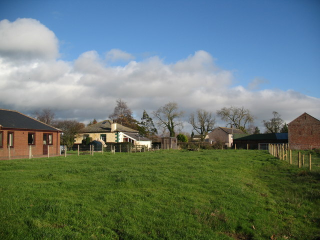
Burnhill is a small village located in the county of Cumberland, England. Situated in the northern part of the county, it is nestled in the picturesque countryside, surrounded by rolling hills and lush greenery. The village is part of the larger district of Allerdale and is approximately 10 miles south of the town of Cockermouth.

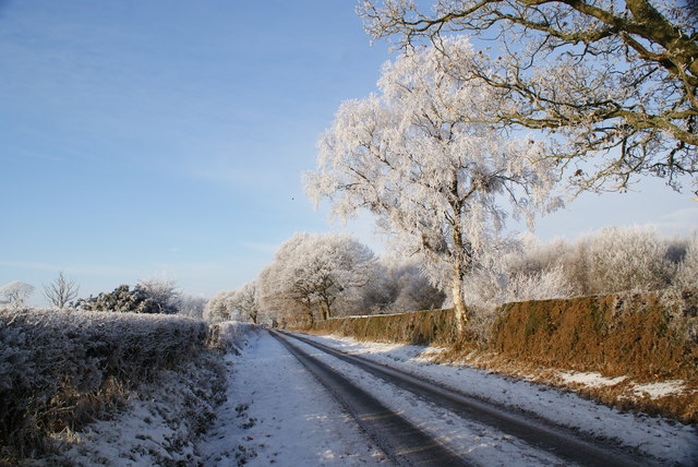
The history of Burnhill can be traced back to medieval times when it was a thriving farming community. Today, it retains its rural charm and is known for its idyllic landscapes, making it a popular destination for nature enthusiasts and hikers. The village is also home to a close-knit community of locals who take pride in preserving its heritage.

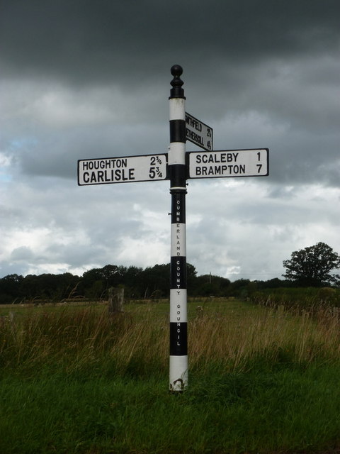
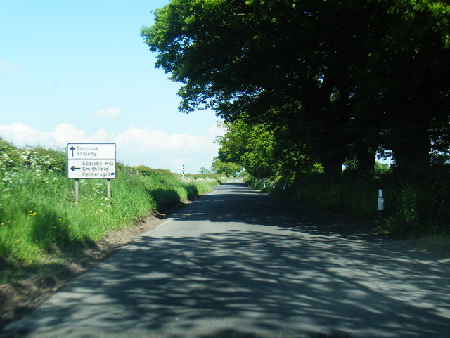
While Burnhill may be small in size, it offers essential amenities to its residents. These include a primary school, a village hall, and a quaint country pub that serves as a social hub for locals and visitors alike. The village is well-connected to other towns and cities in the area through a network of roads, ensuring easy accessibility.

Beyond its natural beauty, Burnhill is situated in close proximity to several attractions. The stunning Lake District National Park is just a short drive away, offering opportunities for outdoor activities such as hiking, boating, and cycling. Additionally, the historic town of Cockermouth provides a range of amenities including shops, restaurants, and cultural attractions.

Overall, Burnhill, Cumberland is a charming and peaceful village that offers a tranquil escape from the hustle and bustle of city life. Its beautiful surroundings, friendly community, and convenient location make it an ideal place to live or visit.

If you have any feedback on the listing, please let us know in the comments section below.
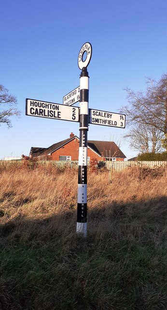
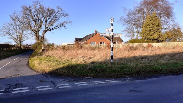
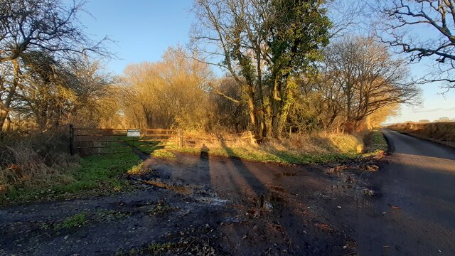
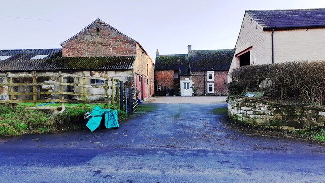
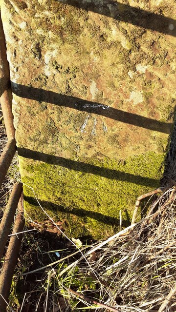
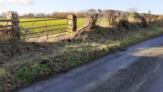
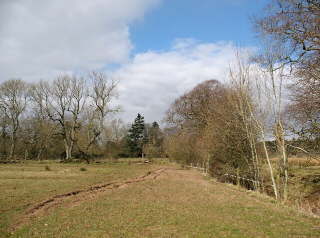
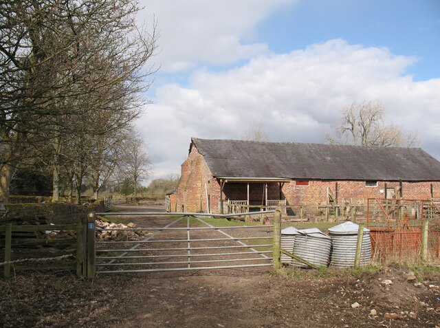
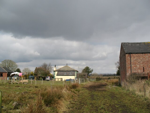
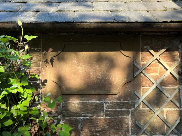
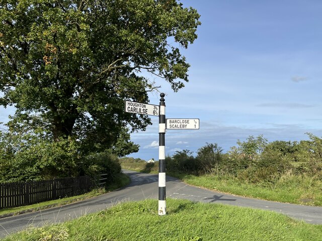
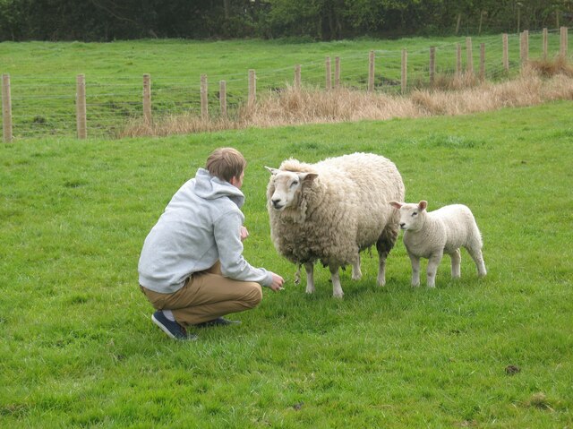
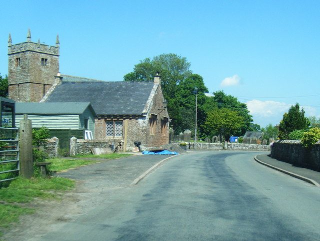
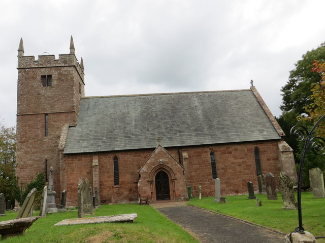
Burnhill Images

Images are sourced within 2km of 54.960251/-2.8815646 or Grid Reference NY4363. Thanks to Geograph Open Source API. All images are credited.

Cumberland County Council finger signpost at T-junction in Longpark The signpost has Milestone Society National ID: CU_NY4261
Cumberland County Council finger signpost at T-junction in Longpark
The signpost has Milestone Society National ID: CU_NY4261
T-junction opposite Longpark Farm There is a Cumberland County Council signpost <a href="https://www.geograph.org.uk/photo/7075236">NY4261 : Cumberland County Council finger signpost at T-junction in Longpark</a> at the NE quadrant of the junction
T-junction opposite Longpark Farm
There is a Cumberland County Council signpost NY4261 : Cumberland County Council finger signpost at T-junction in Longpark at the NE quadrant of the junction
Track to Moorcock Hall from rural road
Entrance to Longpark Farm Ordnance Survey documents indicate that a benchmark levelled at 26.141m above Newlyn Datum was verified in 1974 on a gatepost at the entrance
Entrance to Longpark Farm
Ordnance Survey documents indicate that a benchmark levelled at 26.141m above Newlyn Datum was verified in 1974 on a gatepost at the entrance
Benchmark on gatepost on west side of rural road west of Longpark Ordnance Survey cut mark benchmark levelled at 29.808m above Newlyn Datum verified 1972
Benchmark on gatepost on west side of rural road west of Longpark
Ordnance Survey cut mark benchmark levelled at 29.808m above Newlyn Datum verified 1972
Gateway on west side of rural road south of Linkumdoddie There is an Ordnance Survey benchmark <a href="https://www.geograph.org.uk/photo/7092297">NY4262 : Benchmark on gatepost on west side of rural road west of Longpark</a> on the inside face of the right hand gatepost
Gateway on west side of rural road south of Linkumdoddie
There is an Ordnance Survey benchmark NY4262 : Benchmark on gatepost on west side of rural road west of Longpark on the inside face of the right hand gatepost
Field near Scaleby Castle The public bridleway from Highfieldmoor to Scaleby Castle runs parallel to the fence and ditch, towards the gate near the field corner.
Field near Scaleby Castle
The public bridleway from Highfieldmoor to Scaleby Castle runs parallel to the fence and ditch, towards the gate near the field corner.
Farm buildings near Scaleby Castle Two public bridleways, from Crosby-on-Eden and Highfieldmoor respectively, meet at the gate but there is no logical continuation of them to the road at Scaleby.  The small blue sign on the left hand gatepost is a reminder from the landowner that the bridleways end at that point.  Walkers can continue along a public footpath.
Farm buildings near Scaleby Castle
Two public bridleways, from Crosby-on-Eden and Highfieldmoor respectively, meet at the gate but there is no logical continuation of them to the road at Scaleby. The small blue sign on the left hand gatepost is a reminder from the landowner that the bridleways end at that point. Walkers can continue along a public footpath.
Track by Chapel Farm The barn on the right is part of Chapel Farm.  The former Wesleyan Methodist Chapel that gave it its name is the cottage in the centre of the photograph.
Track by Chapel Farm
The barn on the right is part of Chapel Farm. The former Wesleyan Methodist Chapel that gave it its name is the cottage in the centre of the photograph.
Date stone, Wesley Cottage Wesley Cottage, a private house, was formerly Scalebyhill Wesleyan Methodist Chapel.  The date stone, originally on the front of the chapel was later moved to the side of the porch when that was added during subsequent alterations.
The date stone reads ‘Wesleyan Methodist Chapel 1828’.
Date stone, Wesley Cottage
Wesley Cottage, a private house, was formerly Scalebyhill Wesleyan Methodist Chapel. The date stone, originally on the front of the chapel was later moved to the side of the porch when that was added during subsequent alterations. The date stone reads ‘Wesleyan Methodist Chapel 1828’.
Signpost at Burnhill This signpost opposite the Old Post Office at Burnhill has Carlisle spelled incorrectly.
Signpost at Burnhill
This signpost opposite the Old Post Office at Burnhill has Carlisle spelled incorrectly.
A conversation?
A conversation?
Wesley Cottage and Chapel Farm Small field to the rear of Wesley Cottage, a former Methodist Chapel.
Wesley Cottage and Chapel Farm
Small field to the rear of Wesley Cottage, a former Methodist Chapel.
Scaleby: an old finger-post A nice, well-kept finger-post with the worlds CUMBERLAND COUNTY COUNCIL embossed down the post.
Scaleby: an old finger-post
A nice, well-kept finger-post with the worlds CUMBERLAND COUNTY COUNCIL embossed down the post.
Road to Blackford
Road to Blackford
Approaching lane junction near Park View
Scaleby at All Saints Church
All Saints Church at Scalesby Viewed from the south.
All Saints Church at Scalesby
Viewed from the south.
Show me another place!

Burnhill is located at Grid Ref: NY4363 (Lat: 54.960251, Lng: -2.8815646)

Administrative County: Cumbria

District: Carlisle

Police Authority: Cumbria

What 3 Words

///showcases.budget.dwell. Near Longtown, Cumbria

Nearby Locations

Scaleby Moss Burnhill

Related Wikis

Scaleby

Scaleby is a village and civil parish in the English county of Cumbria. It is bounded on the north by Kirklinton and Irthington; whilst to the south lie...

Barclose

Barclose is a village in Cumbria, England.

Scaleby Castle

Scaleby Castle is in the village of Scaleby, Cumbria, England. The castle was originally built in the early 14th century, and extended in the 15th century...

Smithfield, Cumbria

Smithfield is a village located in the parish of Kirklinton Middle approximately 8 miles north of Carlisle in Cumbria, United Kingdom, and has a population...

Nearby Amenities

Located within 500m of 54.960251,-2.8815646
Scalebyhill
Place: hamlet
Source: NPE
Lat/Long: 54.9633508/-2.8769055
Post Box
Ref: CA6 393
Lat/Long: 54.9602073/-2.8817897
Power: pole
Lat/Long: 54.9567604/-2.8822706
Power: pole
Lat/Long: 54.9571362/-2.8807558
Power: pole
Lat/Long: 54.9574742/-2.8794303
Power: pole
Lat/Long: 54.9579351/-2.8777261
Power: pole
Lat/Long: 54.9582518/-2.8764377
Power: pole
Lat/Long: 54.9586441/-2.8749106
Power: pole
Lat/Long: 54.9563536/-2.8837747
Power: pole
Lat/Long: 54.9571937/-2.8769658
Power: pole
Lat/Long: 54.9638305/-2.8778515
Power: pole
Lat/Long: 54.9626424/-2.8793741
Power: pole
Lat/Long: 54.9627416/-2.8786811
Power: pole
Lat/Long: 54.9628407/-2.8779018
The data included in this document is from www.openstreetmap.org. The data is made available under ODbL.

Have you been to Burnhill?

Leave your review of Burnhill below (or comments, questions and feedback).