Burnhervie
Settlement in Aberdeenshire
Scotland
Burnhervie
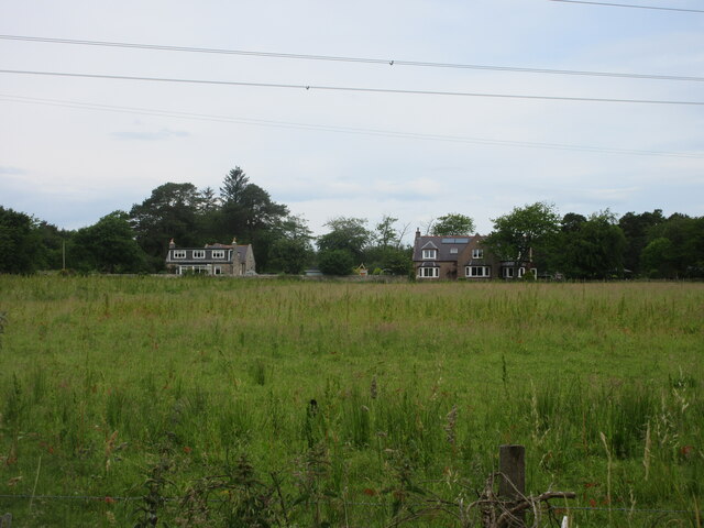
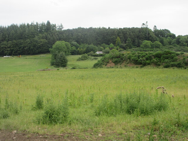
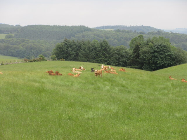
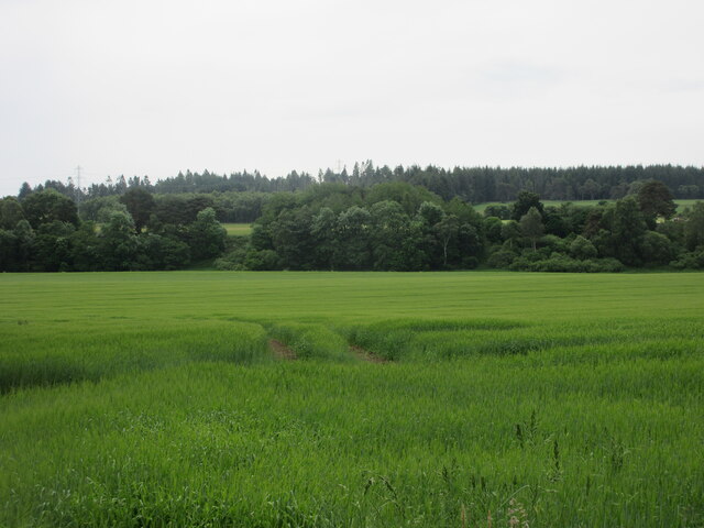
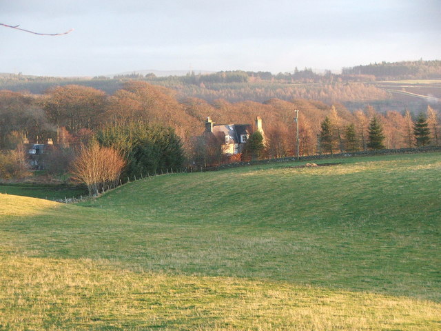
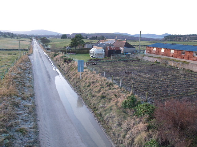
Burnhervie is a small village located in the historical county of Aberdeenshire, Scotland. Situated approximately 10 miles northwest of the city of Aberdeen, the village is nestled amidst picturesque countryside, offering stunning views of the surrounding hills and farmland.
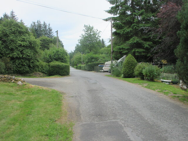
The village itself is home to a close-knit community, with a population of around 200 residents. The houses in Burnhervie are predominantly traditional stone cottages, displaying a charming and rustic architectural style. The village is known for its peaceful and idyllic atmosphere, making it an ideal place for those seeking a tranquil rural lifestyle.
Despite its small size, Burnhervie boasts a range of amenities for its residents. These include a local primary school, a village hall, and a community shop, providing everyday essentials for the villagers. The village also has a small park, offering a green space for recreational activities and gatherings.
Burnhervie benefits from its close proximity to Aberdeen, which offers a wider range of amenities, including shopping centers, restaurants, and entertainment options. The city is easily accessible by road, with regular bus services connecting Burnhervie to the urban center.
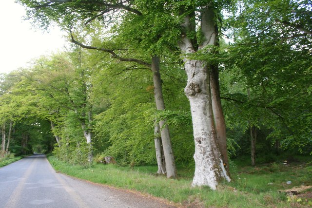
Surrounded by beautiful countryside, Burnhervie is an excellent base for outdoor enthusiasts. The village is located near several nature reserves and parks, providing opportunities for hiking, cycling, and wildlife spotting. The nearby rivers and lochs also offer fishing and boating activities for those interested in water sports.
Overall, Burnhervie is a charming and peaceful village, offering a close-knit community and picturesque surroundings, while also benefiting from its proximity to a larger urban center.
If you have any feedback on the listing, please let us know in the comments section below.
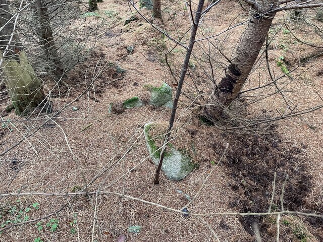
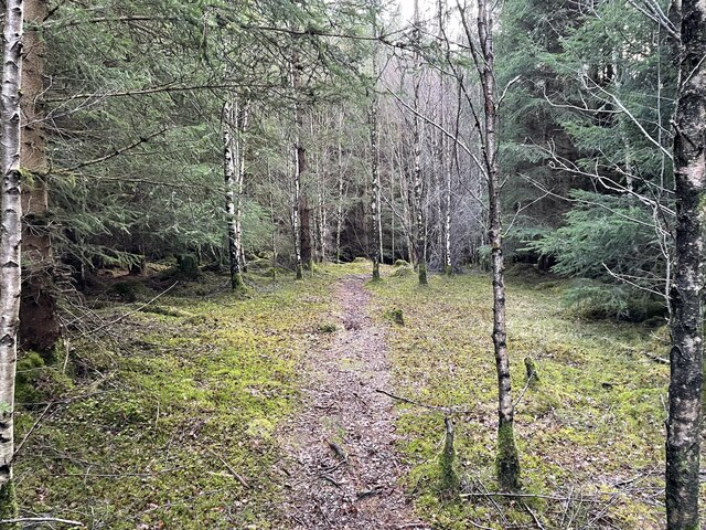
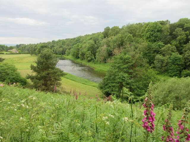
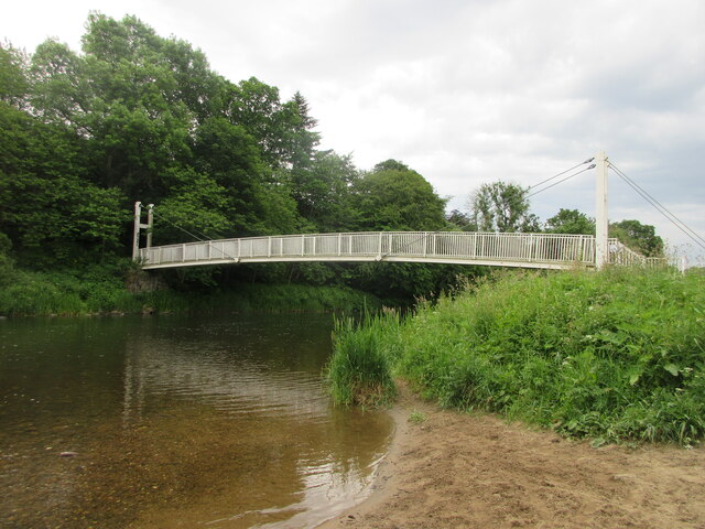
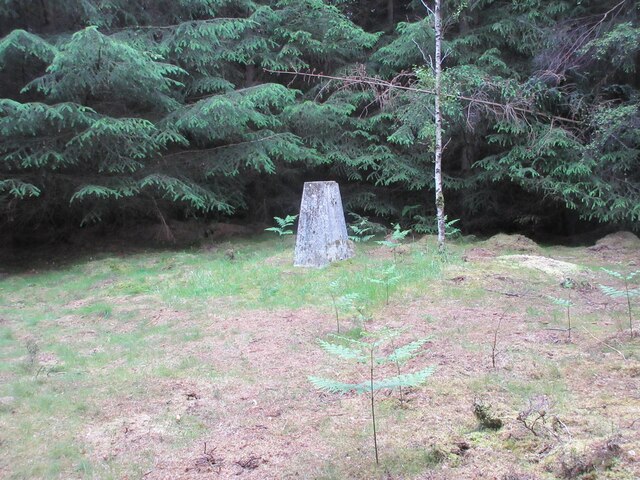
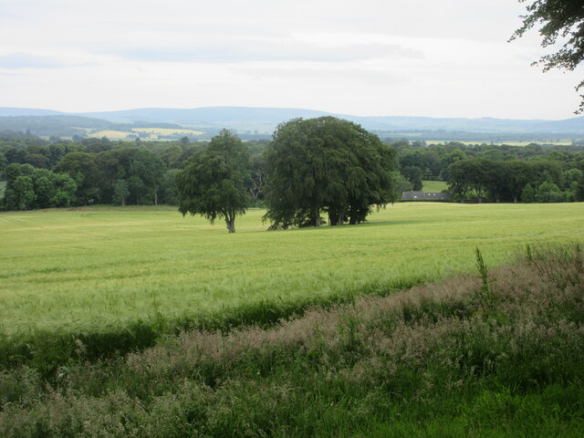
Burnhervie Images
Images are sourced within 2km of 57.264813/-2.4457431 or Grid Reference NJ7319. Thanks to Geograph Open Source API. All images are credited.


Burnhervie is located at Grid Ref: NJ7319 (Lat: 57.264813, Lng: -2.4457431)
Unitary Authority: Aberdeenshire
Police Authority: North East
What 3 Words
///troubles.actor.catchers. Near Kemnay, Aberdeenshire
Nearby Locations
Related Wikis
Aquhorthies College
Aquhorthies College or Aquhorthies House, located between Blairdaff and Inverurie in Aberdeenshire, was a Roman Catholic seminary in Scotland from 1799...
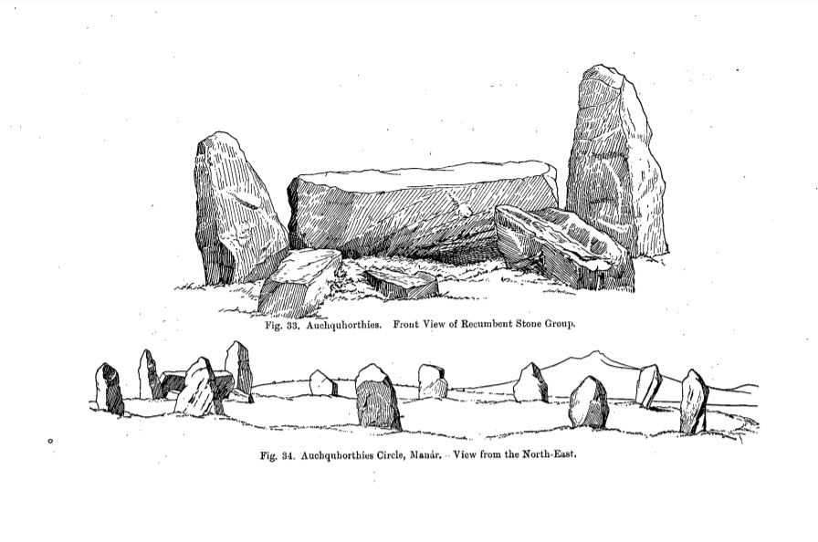
Easter Aquhorthies stone circle
Easter Aquhorthies stone circle, located near Inverurie in north-east Scotland, is one of the best-preserved examples of a recumbent stone circle and one...
Aquithie
Aquithie is a hamlet in Aberdeenshire, Scotland, belonging to the parish of Kemnay. It is best known for its Aquithie Boarding & Quarantine Kennels....

Fetternear Palace
Fetternear Bishop's Palace is an archaeological site of what was one of the palaces (or residences) of the medieval bishops of Aberdeen. It is near Kemnay...
Nearby Amenities
Located within 500m of 57.264813,-2.4457431Have you been to Burnhervie?
Leave your review of Burnhervie below (or comments, questions and feedback).