Scaleby Moss

Wood, Forest in Cumberland Carlisle

England

Scaleby Moss

A conversation?
A conversation? Credit: Adrian Taylor

Scaleby Moss is a woodland area located in Cumberland, England. It is widely known for its rich biodiversity and pristine natural beauty. The moss covers an expansive area, stretching across numerous acres of land.

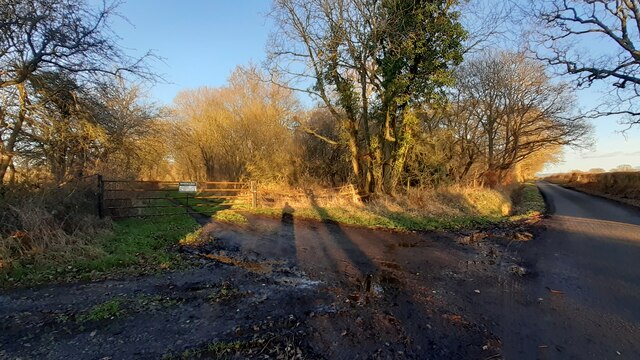
The woodland is predominantly made up of dense forests, with towering trees and a thick carpet of moss covering the forest floor. The predominant tree species found in Scaleby Moss are oak, beech, and birch, providing a diverse and vibrant ecosystem. The moss acts as a natural carpet, creating a serene and peaceful atmosphere.

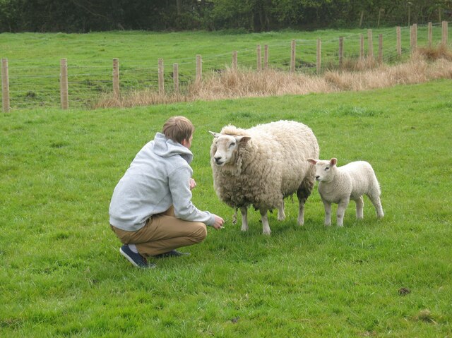
The woodland is home to a wide variety of flora and fauna. Numerous species of birds, including woodpeckers and owls, can be spotted perched on the branches of the trees. Small mammals such as squirrels and rabbits are commonly seen scurrying through the undergrowth. Scaleby Moss is also home to several species of deer, including roe deer and red deer.

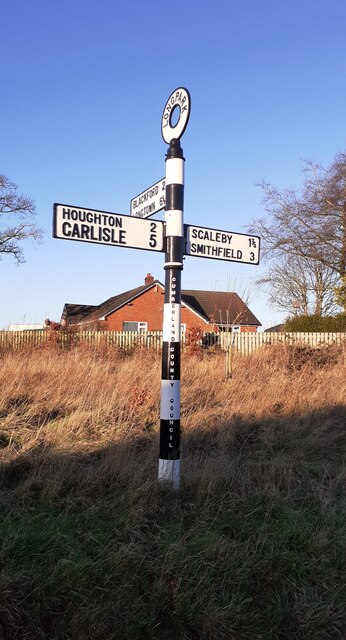
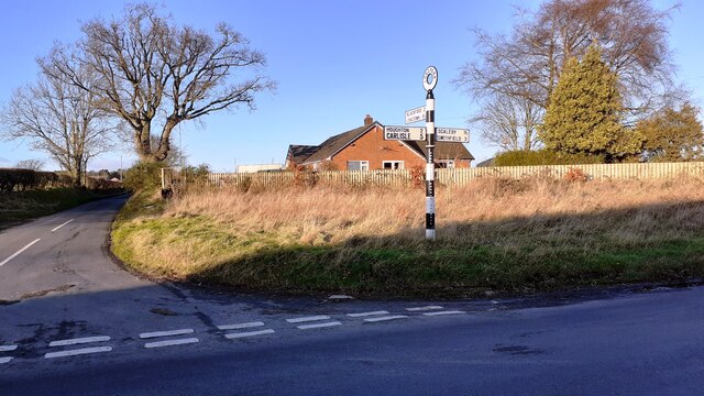
The moss has a network of trails and footpaths, allowing visitors to explore the woodland and enjoy its beauty. These trails provide opportunities for hiking, birdwatching, and photography. The moss is particularly popular amongst nature enthusiasts, who are attracted to its peaceful ambiance and the chance to observe the local wildlife.

Scaleby Moss is not only a haven for wildlife but also an important part of the local ecosystem. It contributes to the regulation of the water cycle, acting as a natural filter for groundwater, and helps to prevent soil erosion.

In conclusion, Scaleby Moss is a picturesque woodland area in Cumberland, renowned for its diverse flora and fauna, tranquil atmosphere, and recreational opportunities. It is a must-visit destination for nature lovers and those seeking a peaceful retreat.

If you have any feedback on the listing, please let us know in the comments section below.
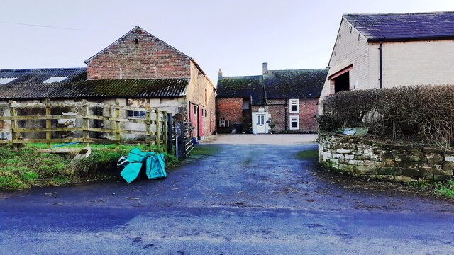
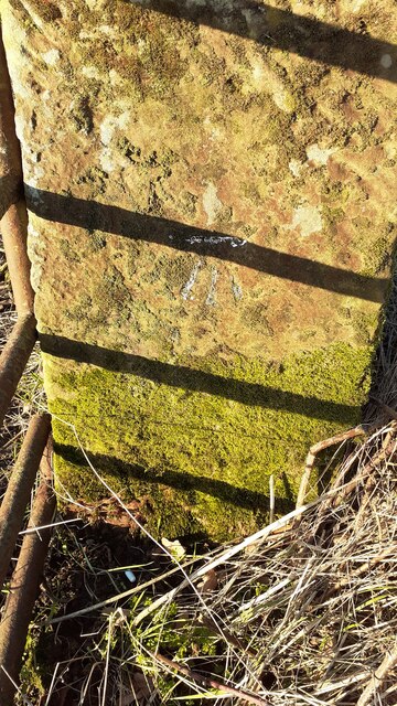
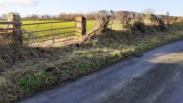
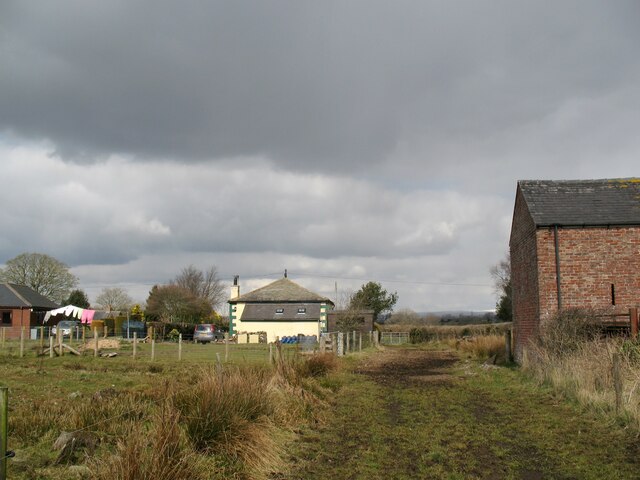
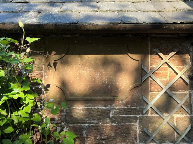
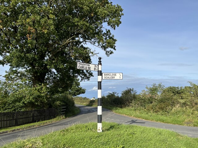
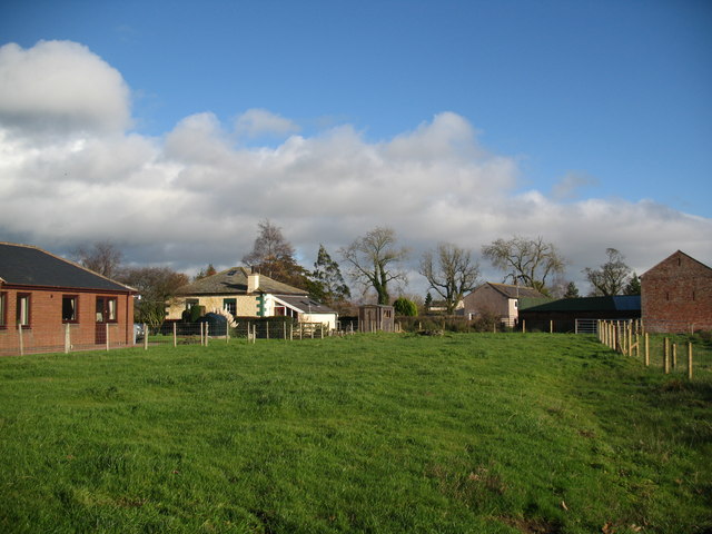
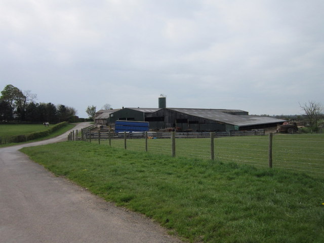
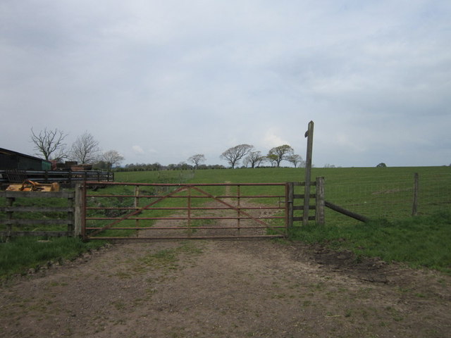
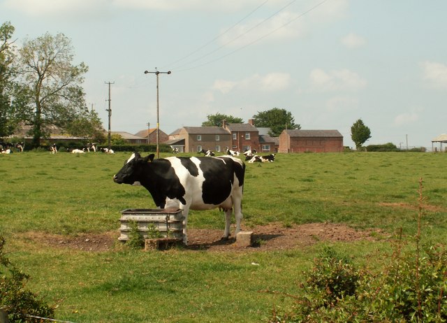
Scaleby Moss Images

Images are sourced within 2km of 54.963813/-2.8897956 or Grid Reference NY4363. Thanks to Geograph Open Source API. All images are credited.

A conversation?
A conversation?
Cumberland County Council finger signpost at T-junction in Longpark The signpost has Milestone Society National ID: CU_NY4261
Cumberland County Council finger signpost at T-junction in Longpark
The signpost has Milestone Society National ID: CU_NY4261
T-junction opposite Longpark Farm There is a Cumberland County Council signpost <a href="https://www.geograph.org.uk/photo/7075236">NY4261 : Cumberland County Council finger signpost at T-junction in Longpark</a> at the NE quadrant of the junction
T-junction opposite Longpark Farm
There is a Cumberland County Council signpost NY4261 : Cumberland County Council finger signpost at T-junction in Longpark at the NE quadrant of the junction
Track to Moorcock Hall from rural road
Entrance to Longpark Farm Ordnance Survey documents indicate that a benchmark levelled at 26.141m above Newlyn Datum was verified in 1974 on a gatepost at the entrance
Entrance to Longpark Farm
Ordnance Survey documents indicate that a benchmark levelled at 26.141m above Newlyn Datum was verified in 1974 on a gatepost at the entrance
Benchmark on gatepost on west side of rural road west of Longpark Ordnance Survey cut mark benchmark levelled at 29.808m above Newlyn Datum verified 1972
Benchmark on gatepost on west side of rural road west of Longpark
Ordnance Survey cut mark benchmark levelled at 29.808m above Newlyn Datum verified 1972
Gateway on west side of rural road south of Linkumdoddie There is an Ordnance Survey benchmark <a href="https://www.geograph.org.uk/photo/7092297">NY4262 : Benchmark on gatepost on west side of rural road west of Longpark</a> on the inside face of the right hand gatepost
Gateway on west side of rural road south of Linkumdoddie
There is an Ordnance Survey benchmark NY4262 : Benchmark on gatepost on west side of rural road west of Longpark on the inside face of the right hand gatepost
Benchmark on concrete gatepost at gateway on SW side of road east of Wide Open Dikes Ordnance Survey cut mark benchmark levelled at 34.585m above Newlyn Datum verified 1972
Benchmark on concrete gatepost at gateway on SW side of road east of Wide Open Dikes
Ordnance Survey cut mark benchmark levelled at 34.585m above Newlyn Datum verified 1972
Field gateway on SW side of rural road east of Wide Open Dikes There is an Ordnance Survey benchmark <a href="https://www.geograph.org.uk/photo/7092519">NY4162 : Benchmark on concrete gatepost at gateway on SW side of road east of Wide Open Dikes</a> on the gatepost at the right hand side of the gateway, beside a wooden post
Field gateway on SW side of rural road east of Wide Open Dikes
There is an Ordnance Survey benchmark NY4162 : Benchmark on concrete gatepost at gateway on SW side of road east of Wide Open Dikes on the gatepost at the right hand side of the gateway, beside a wooden post
Rural road heading towards Linkumdoddie passing woodland on the right
Track by Chapel Farm The barn on the right is part of Chapel Farm.  The former Wesleyan Methodist Chapel that gave it its name is the cottage in the centre of the photograph.
Track by Chapel Farm
The barn on the right is part of Chapel Farm. The former Wesleyan Methodist Chapel that gave it its name is the cottage in the centre of the photograph.
Date stone, Wesley Cottage Wesley Cottage, a private house, was formerly Scalebyhill Wesleyan Methodist Chapel.  The date stone, originally on the front of the chapel was later moved to the side of the porch when that was added during subsequent alterations.
The date stone reads ‘Wesleyan Methodist Chapel 1828’.
Date stone, Wesley Cottage
Wesley Cottage, a private house, was formerly Scalebyhill Wesleyan Methodist Chapel. The date stone, originally on the front of the chapel was later moved to the side of the porch when that was added during subsequent alterations. The date stone reads ‘Wesleyan Methodist Chapel 1828’.
Signpost at Burnhill This signpost opposite the Old Post Office at Burnhill has Carlisle spelled incorrectly.
Signpost at Burnhill
This signpost opposite the Old Post Office at Burnhill has Carlisle spelled incorrectly.
Wesley Cottage and Chapel Farm Small field to the rear of Wesley Cottage, a former Methodist Chapel.
Wesley Cottage and Chapel Farm
Small field to the rear of Wesley Cottage, a former Methodist Chapel.
Newbiggin Farm
Newbiggin Farm
A path to Willow Hill
Howberry Farm
Howberry Farm
A path leading to The Gill farm
Show me another place!

Scaleby Moss is located at Grid Ref: NY4363 (Lat: 54.963813, Lng: -2.8897956)

Administrative County: Cumbria

District: Carlisle

Police Authority: Cumbria

What 3 Words

///reckon.provoking.graphics. Near Longtown, Cumbria

Nearby Locations

Scaleby Moss Burnhill

Related Wikis

Scaleby

Scaleby is a village and civil parish in the English county of Cumbria. It is bounded on the north by Kirklinton and Irthington; whilst to the south lie...

Barclose

Barclose is a village in Cumbria, England.

Smithfield, Cumbria

Smithfield is a village located in the parish of Kirklinton Middle approximately 8 miles north of Carlisle in Cumbria, United Kingdom, and has a population...

Scaleby Castle

Scaleby Castle is in the village of Scaleby, Cumbria, England. The castle was originally built in the early 14th century, and extended in the 15th century...

Skitby

Skitby is a hamlet in the English county of Cumbria. Skitby lies northeast of the village of Smithfield. == External links == Map sources for Skitby

Kirklinton Middle

Kirklinton Middle is a civil parish in City of Carlisle district, Cumbria, England. At the 2011 census it had a population of 384.The parish is bordered...

Kirklinton

Kirklinton is a village in the Carlisle district, in the English county of Cumbria. The population of the civil parish of Kirklinton Middle, taken at the...

Walby

Walby is a hamlet in the civil parish of Stanwix Rural, in the Carlisle district, in the county of Cumbria, England. It is a few miles away from the city...

Nearby Amenities

Located within 500m of 54.963813,-2.8897956
Power: pole
Lat/Long: 54.9679545/-2.890656
Power: pole
Lat/Long: 54.9677921/-2.8885387
Power: pole
Lat/Long: 54.9676613/-2.8868267
The data included in this document is from www.openstreetmap.org. The data is made available under ODbL.

Have you been to Scaleby Moss?

Leave your review of Scaleby Moss below (or comments, questions and feedback).