Bulford

Settlement in Somerset Somerset West and Taunton

England

Bulford

Junction on Cold Road Cold Road (foreground and ahead) is followed by the parish boundary between Staple Fitzpaine (left) and Bickenhall. As it passes the junction, it crosses into <a href="https://www.geograph.org.uk/gridref/ST2719">ST2719</a>. The wood is Grughay Close.
Junction on Cold Road Credit: Derek Harper

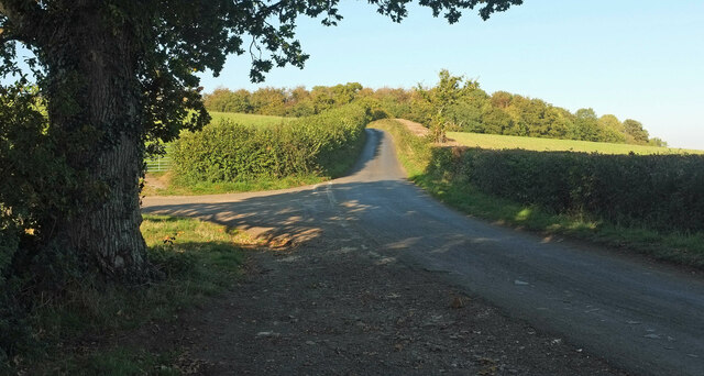
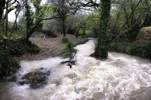
Bulford is a small village located in the county of Somerset, England. Situated approximately 5 miles west of the town of Glastonbury, Bulford is nestled within the picturesque Somerset Levels, a region known for its stunning natural beauty and agricultural heritage.

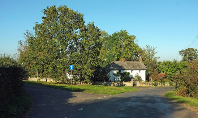
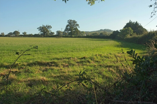
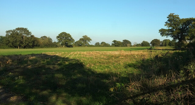
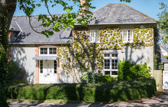
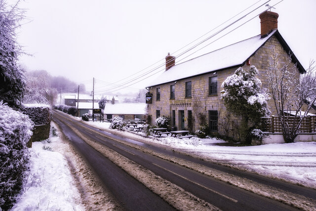
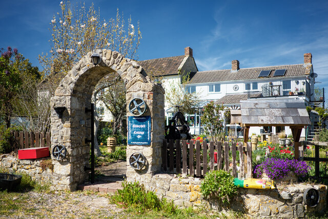
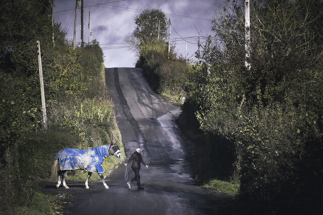
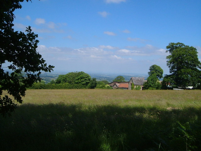
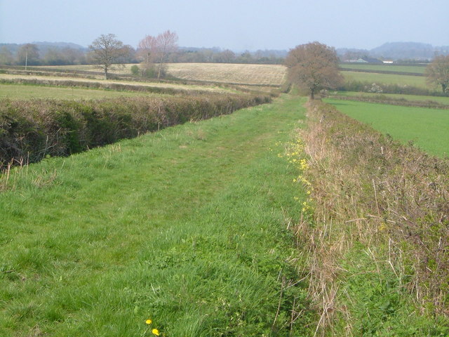
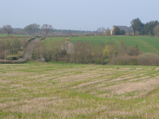
The village is home to a population of around 400 residents, who primarily engage in agriculture and other rural occupations. The landscape surrounding Bulford is characterized by rolling hills, lush meadows, and fertile farmland, making it an ideal location for farming activities. The traditional stone-built houses and cottages in the village add to its charm and give it a quaint, rustic atmosphere.

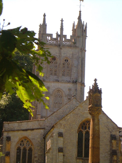
Bulford is served by a local church, dedicated to St. Michael and All Angels, which dates back to the 12th century. This historic place of worship attracts visitors who are interested in exploring the village's rich history. The church's architecture and stained glass windows are particularly noteworthy.

Although small in size, Bulford benefits from its proximity to several larger towns and cities, such as Glastonbury and Wells, which offer a wider range of amenities and services. Being located in Somerset, Bulford is also within reach of popular tourist destinations like the Cheddar Gorge and the city of Bath, making it an attractive base for those looking to explore the wider region.

Overall, Bulford offers a peaceful and idyllic setting for residents and visitors alike, with its picturesque countryside, historic church, and proximity to other attractions making it a desirable place to live or visit in Somerset.

If you have any feedback on the listing, please let us know in the comments section below.
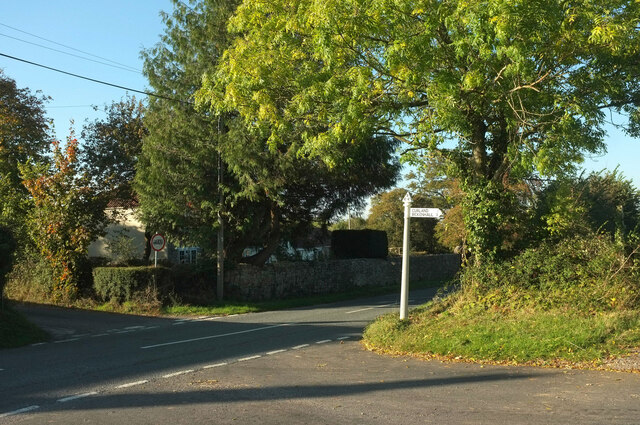
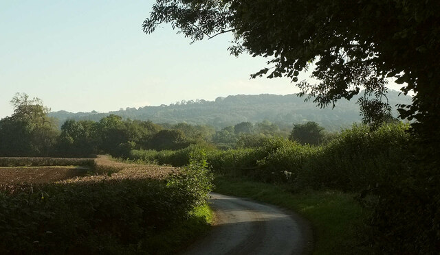
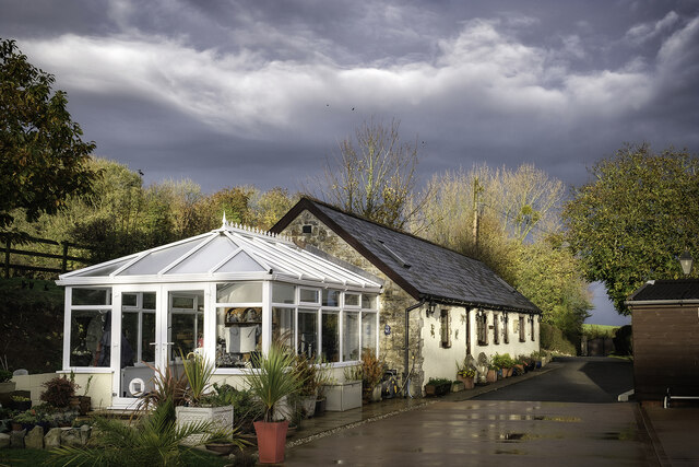
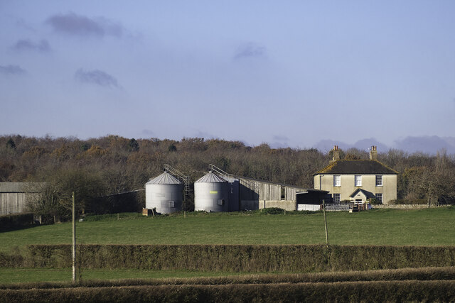
Bulford Images

Images are sourced within 2km of 50.951364/-3.0426401 or Grid Reference ST2617. Thanks to Geograph Open Source API. All images are credited.

Junction on Cold Road Cold Road (foreground and ahead) is followed by the parish boundary between Staple Fitzpaine (left) and Bickenhall. As it passes the junction, it crosses into <a href="https://www.geograph.org.uk/gridref/ST2719">ST2719</a>. The wood is Grughay Close.
Junction on Cold Road
Cold Road (foreground and ahead) is followed by the parish boundary between Staple Fitzpaine (left) and Bickenhall. As it passes the junction, it crosses into ST2719. The wood is Grughay Close.
Former post office, Curland The scene is shown leafless in <a href="https://www.geograph.org.uk/photo/4336081">ST2717 : Village Green, Curland</a>. As the sign on the left hints, the triangular green is one-way on its north and west sides. Maps from 1903 to 1993 show the building as a post office, the older ones naming it as Stoneleigh.
Former post office, Curland
The scene is shown leafless in ST2717 : Village Green, Curland. As the sign on the left hints, the triangular green is one-way on its north and west sides. Maps from 1903 to 1993 show the building as a post office, the older ones naming it as Stoneleigh.
Field by Bulford crossroads On the southeast side of the junction shown at <a title="https://www.geograph.org.uk/search.php?i=143407630" href="https://www.geograph.org.uk/search.php?i=143407630">Link</a> . In the distance is the hilltop at Castle Neroche.
Field by Bulford crossroads
On the southeast side of the junction shown at Link . In the distance is the hilltop at Castle Neroche.
Field near Bulford From the crossroads shown in <a href="https://www.geograph.org.uk/photo/2354095">ST2617 : Turning for Curland and Bickenhall</a>.
Field near Bulford
From the crossroads shown in ST2617 : Turning for Curland and Bickenhall.
Cold Road Looking in the opposite direction from <a href="https://www.geograph.org.uk/photo/6993743">ST2718 : Junction on Cold Road</a>, so that Staple Fitzpaine is on the right of the parish boundary as it follows the lane, and Bickenhall is on the left.
Cold Road
Looking in the opposite direction from ST2718 : Junction on Cold Road, so that Staple Fitzpaine is on the right of the parish boundary as it follows the lane, and Bickenhall is on the left.
Horseshoe Cottage at Staple Fitzpaine Horseshoe Cottage at Mill Farm in Staple Fitzpaine was originally a stone built cow shed or grain store, associated with the now defunct Staple Mill. In 2019/20, two cottages (Primrose Cottage and Horseshoe Cottage) were converted into one. Therefore, Primrose Cottage no longer exists as an address, despite it still appearing on some maps and databases.
Horseshoe Cottage at Staple Fitzpaine
Horseshoe Cottage at Mill Farm in Staple Fitzpaine was originally a stone built cow shed or grain store, associated with the now defunct Staple Mill. In 2019/20, two cottages (Primrose Cottage and Horseshoe Cottage) were converted into one. Therefore, Primrose Cottage no longer exists as an address, despite it still appearing on some maps and databases.
Park Farm at Bickenhall Park Farm at Bickenhall in Taunton Deane, Somerset.
TA3 6TZ
Park Farm at Bickenhall
Park Farm at Bickenhall in Taunton Deane, Somerset. TA3 6TZ
The Old School in Staple Fitzpaine The Old School is opposite St Peter's Church. It is a private residence.
The Old School in Staple Fitzpaine
The Old School is opposite St Peter's Church. It is a private residence.
The Greyhound Inn Snow on the Greyhound Inn at Staple Fitzpaine in Taunton Deane, Somerset.
The Greyhound Inn
Snow on the Greyhound Inn at Staple Fitzpaine in Taunton Deane, Somerset.
Abbeyhill Cottage Abbeyhill Cottage on Abbey Hill Drove near Bickenhall, Taunton Deane in Somerset.
Abbeyhill Cottage
Abbeyhill Cottage on Abbey Hill Drove near Bickenhall, Taunton Deane in Somerset.
Curland : Road A road off Castlemain.
Curland : Road
A road off Castlemain.
Staple Fitzpaine Millstream The stream in flood (Dec 2023). As seen from private land at Mill Farm.
Staple Fitzpaine Millstream
The stream in flood (Dec 2023). As seen from private land at Mill Farm.
The Bickenhall Road Outside the Mill Equestrian livery yard. On the Bickenhall Road in Taunton Deane, Somerset.
The Bickenhall Road
Outside the Mill Equestrian livery yard. On the Bickenhall Road in Taunton Deane, Somerset.
Mount Fancy Farm This farm is set high amid clearings on the Blackdown Hills, at the end of its own long access road. 2:48 pm.
Mount Fancy Farm
This farm is set high amid clearings on the Blackdown Hills, at the end of its own long access road. 2:48 pm.
St Peter's church, Staple Fitzpaine Seen from the east <span class="nowrap"><a title="http://webapp1.somerset.gov.uk/her/details.asp?prn=41068" rel="nofollow ugc noopener" href="http://webapp1.somerset.gov.uk/her/details.asp?prn=41068">Link</a><img style="margin-left:2px;" alt="External link" title="External link - shift click to open in new window" src="https://s1.geograph.org.uk/img/external.png" width="10" height="10"/></span> . <a href="https://www.geograph.org.uk/photo/3367813">ST2618 : Church, Staple Fitzpaine</a> attempts a straighter version.
St Peter's church, Staple Fitzpaine
Seen from the east LinkExternal link . ST2618 : Church, Staple Fitzpaine attempts a straighter version.
Curry Mallet Drove A grassy drove used as a bridleway, and heading northeastwards; the village of Curry Mallet is several kilometres away. The yellow flowers in the ditch on the right are cowslips.
Curry Mallet Drove
A grassy drove used as a bridleway, and heading northeastwards; the village of Curry Mallet is several kilometres away. The yellow flowers in the ditch on the right are cowslips.
Bickenhall A scattering of buildings constitutes Bickenhall. The church-like building is Neroche Parish Hall, formerly the new Bickenhall church - <span class="nowrap"><a title="http://www.tauntondeane.gov.uk/TDBCSites/her/her_lb/lbdets.asp?id=000113" rel="nofollow ugc noopener" href="http://www.tauntondeane.gov.uk/TDBCSites/her/her_lb/lbdets.asp?id=000113">Link</a><img style="margin-left:2px;" alt="External link" title="External link - shift click to open in new window" src="https://s1.geograph.org.uk/img/external.png" width="10" height="10"/></span> . Bickenhall Bridge is under the bit of road in front of the house; it forms part of the Taunton-Ilminster commuter backroad. Seen from Abbey Hill.
Bickenhall
A scattering of buildings constitutes Bickenhall. The church-like building is Neroche Parish Hall, formerly the new Bickenhall church - LinkExternal link . Bickenhall Bridge is under the bit of road in front of the house; it forms part of the Taunton-Ilminster commuter backroad. Seen from Abbey Hill.
Show me another place!

Bulford is located at Grid Ref: ST2617 (Lat: 50.951364, Lng: -3.0426401)

Administrative County: Somerset

District: Somerset West and Taunton

Police Authority: Avon and Somerset

What 3 Words

///puncture.denoting.basics. Near Taunton, Somerset

Related Wikis

All Saints Church, Curland

All Saints Church is a former Church of England parish church in Curland, Somerset, England. Designed by Benjamin Ferrey, it was built in 1855–56 to replace...

Curland

Curland is a village and civil parish in Somerset, England, situated 6 miles (9.7 km) south of Taunton. The village has a population of 225. The parish...

William Portman Almshouses

The William Portman Almshouses in Staple Fitzpaine, Somerset, England was built in 1643. It is a Grade II* listed building. == History == The almshouses...

Staple Fitzpaine

Staple Fitzpaine is a village and civil parish in Somerset, England, situated 5 miles (8.0 km) south of Taunton. The village has a population of 189 and...

Bickenhall

Bickenhall is a hamlet and parish in Somerset, England, situated 5 miles (8.0 km) south east of Taunton. The parish, which includes the hamlet of Batten...

Castle Neroche

Castle Neroche is a Norman motte-and-bailey castle on the site of an earlier hill fort in the parish of Curland, near Staple Fitzpaine, Somerset, England...

Ruttersleigh

Ruttersleigh (grid reference ST250165) is a 97 hectares (240 acres) biological Site of Special Scientific Interest between Buckland St Mary and Staple...

Staple Hill (Somerset)

Staple Hill is a hill in the English county of Somerset, the highest point in the Blackdown Hills. It is classed as both a Marilyn and a Hardy.This is...

Nearby Amenities

Located within 500m of 50.951364,-3.0426401
Barrier: stile
Lat/Long: 50.9511184/-3.0361468
Barrier: stile
Lat/Long: 50.9520444/-3.0356581
Barrier: stile
Condition: bad
Lat/Long: 50.9483377/-3.0378889
The data included in this document is from www.openstreetmap.org. The data is made available under ODbL.

Have you been to Bulford?

Leave your review of Bulford below (or comments, questions and feedback).