Lamb's Lawn Copse
Wood, Forest in Somerset Somerset West and Taunton
England
Lamb's Lawn Copse
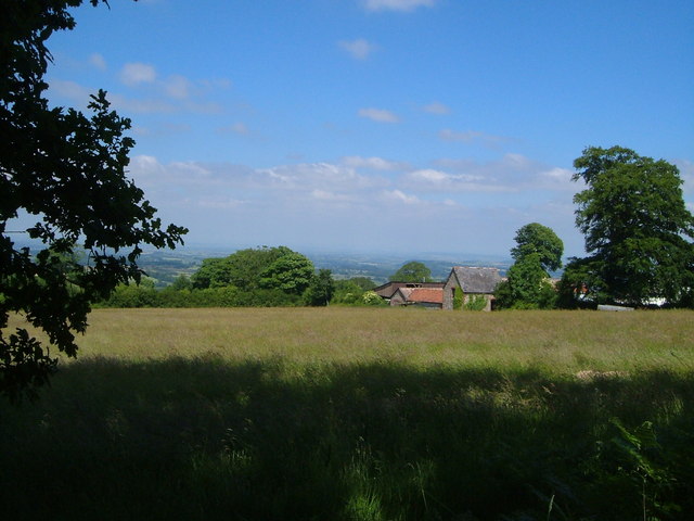
Lamb's Lawn Copse is a picturesque woodland located in Somerset, England. Situated amidst the rolling hills and verdant countryside, this forested area is a haven of natural beauty and tranquility.
Covering an area of approximately 100 acres, Lamb's Lawn Copse is primarily composed of broadleaf trees, such as oak, beech, and ash, which create a dense canopy overhead. The forest floor is adorned with a rich tapestry of wildflowers, ferns, and mosses, adding to its enchanting ambiance.
The copse is crisscrossed by a network of well-maintained footpaths, allowing visitors to explore the woodland at their own pace. As they wander through the trees, they may be fortunate enough to spot a variety of wildlife, including deer, foxes, and a multitude of bird species. The forest is particularly renowned for its resident population of woodpeckers, whose distinctive drumming can often be heard echoing through the trees.
Lamb's Lawn Copse is not only a haven for nature enthusiasts but also provides a recreational space for locals and visitors alike. The forest offers numerous picnic spots, where one can relax and enjoy the serene surroundings. Additionally, the copse is a popular destination for walkers and joggers, who can take advantage of the well-marked trails that wind through the woods.
Overall, Lamb's Lawn Copse is a captivating woodland that showcases the beauty of Somerset's natural landscape. Its diverse flora and fauna, combined with its peaceful atmosphere, make it a must-visit destination for those seeking respite from the hustle and bustle of everyday life.
If you have any feedback on the listing, please let us know in the comments section below.
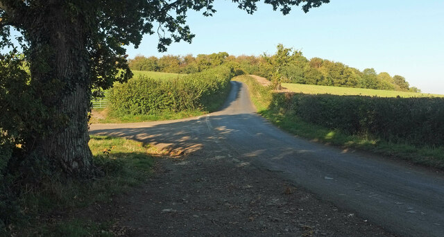
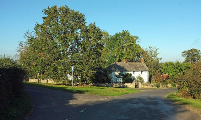
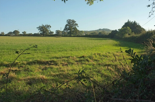
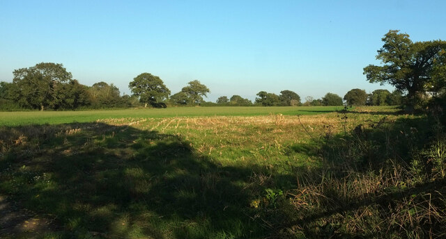
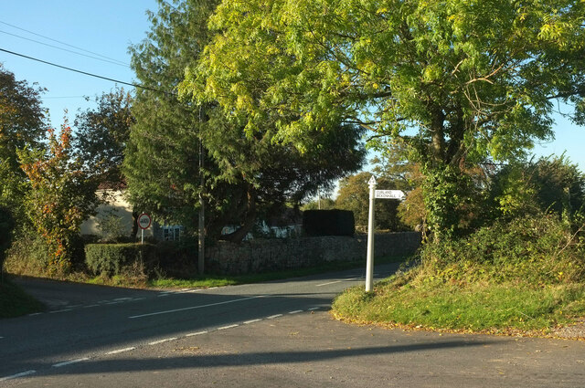
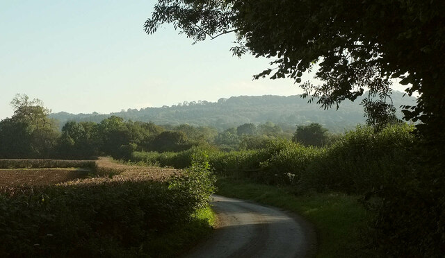
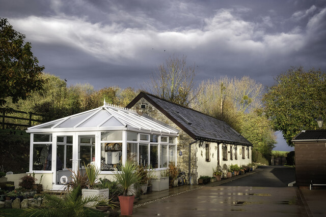
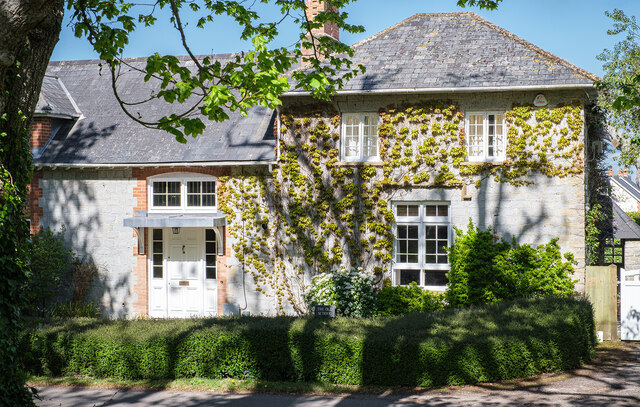
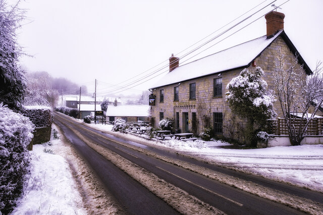
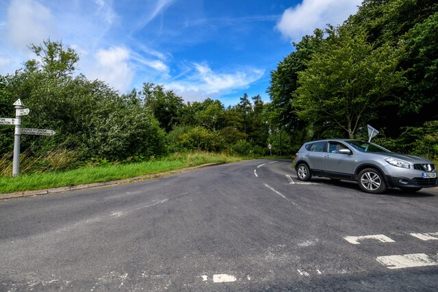
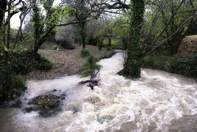
Lamb's Lawn Copse Images
Images are sourced within 2km of 50.950047/-3.0480488 or Grid Reference ST2617. Thanks to Geograph Open Source API. All images are credited.


Lamb's Lawn Copse is located at Grid Ref: ST2617 (Lat: 50.950047, Lng: -3.0480488)
Administrative County: Somerset
District: Somerset West and Taunton
Police Authority: Avon and Somerset
What 3 Words
///renamed.cyclones.bands. Near Taunton, Somerset
Nearby Locations
Related Wikis

All Saints Church, Curland
All Saints Church is a former Church of England parish church in Curland, Somerset, England. Designed by Benjamin Ferrey, it was built in 1855–56 to replace...

William Portman Almshouses
The William Portman Almshouses in Staple Fitzpaine, Somerset, England was built in 1643. It is a Grade II* listed building. == History == The almshouses...
Curland
Curland is a village and civil parish in Somerset, England, situated 6 miles (9.7 km) south of Taunton. The village has a population of 225. The parish...

Staple Fitzpaine
Staple Fitzpaine is a village and civil parish in Somerset, England, situated 5 miles (8.0 km) south of Taunton. The village has a population of 189 and...

Castle Neroche
Castle Neroche is a Norman motte-and-bailey castle on the site of an earlier hill fort in the parish of Curland, near Staple Fitzpaine, Somerset, England...

Ruttersleigh
Ruttersleigh (grid reference ST250165) is a 97 hectares (240 acres) biological Site of Special Scientific Interest between Buckland St Mary and Staple...

Bickenhall
Bickenhall is a hamlet and parish in Somerset, England, situated 5 miles (8.0 km) south east of Taunton. The parish, which includes the hamlet of Batten...

Staple Hill (Somerset)
Staple Hill is a hill in the English county of Somerset, the highest point in the Blackdown Hills. It is classed as both a Marilyn and a Hardy.This is...
Nearby Amenities
Located within 500m of 50.950047,-3.0480488Have you been to Lamb's Lawn Copse?
Leave your review of Lamb's Lawn Copse below (or comments, questions and feedback).