Greatlands Copse

Wood, Forest in Somerset Somerset West and Taunton

England

Greatlands Copse

Junction on Cold Road Cold Road (foreground and ahead) is followed by the parish boundary between Staple Fitzpaine (left) and Bickenhall. As it passes the junction, it crosses into <a href="https://www.geograph.org.uk/gridref/ST2719">ST2719</a>. The wood is Grughay Close.
Junction on Cold Road Credit: Derek Harper

Greatlands Copse is a picturesque woodland located in Somerset, England. Situated in the heart of the county, this enchanting woodland covers an area of approximately 50 acres and is a popular destination for nature enthusiasts and outdoor lovers.

The copse is characterized by a diverse range of trees, including oak, beech, and ash, which create a rich and vibrant canopy. These majestic trees provide a habitat for various species of wildlife, making Greatlands Copse an important ecological site. It is not uncommon to spot deer, squirrels, and numerous bird species in this enchanting forest.

The woodland itself is crisscrossed by a network of well-maintained footpaths, allowing visitors to explore its hidden corners and discover its natural beauty. The paths wind through the dense undergrowth, revealing stunning views of bluebells in the spring and a myriad of colors during the autumn months.

Greatlands Copse also boasts a tranquil stream that meanders through its heart, adding to its charm and providing a peaceful setting for visitors to relax and enjoy the sounds of nature. Picnic areas are scattered throughout the woodland, inviting families and friends to spend a leisurely day surrounded by the beauty of the forest.

The copse is easily accessible, with ample parking available nearby, and is open to the public throughout the year. Whether one seeks a peaceful stroll, a wildlife encounter, or a place to connect with nature, Greatlands Copse is a must-visit destination for anyone exploring the natural wonders of Somerset.

If you have any feedback on the listing, please let us know in the comments section below.

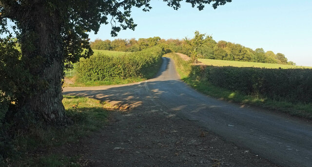
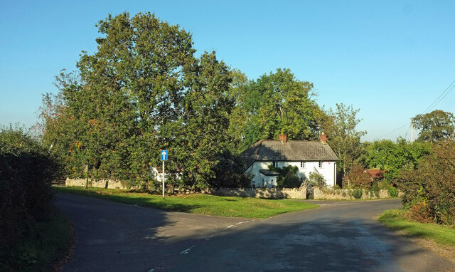
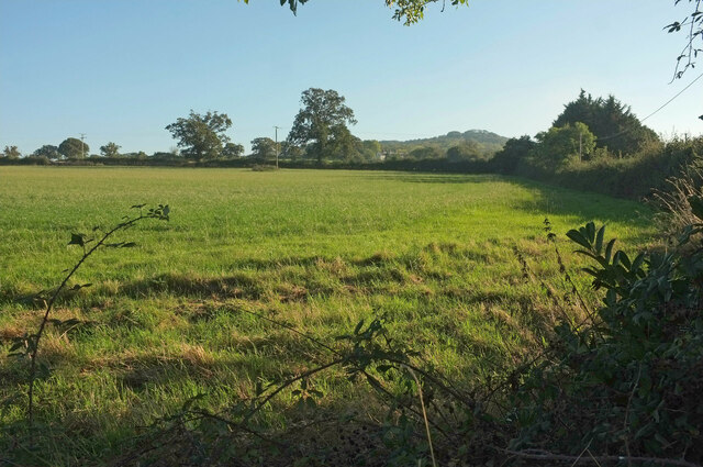
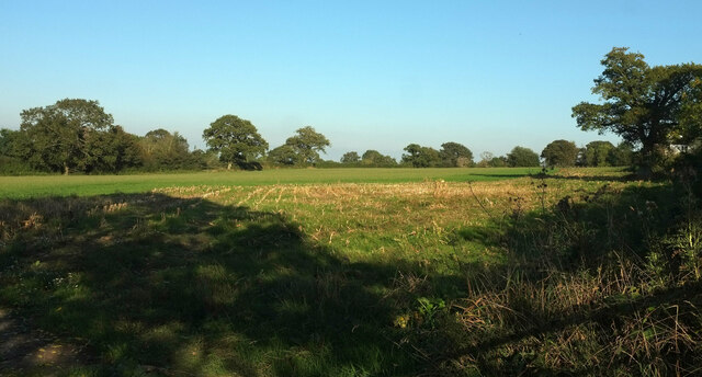
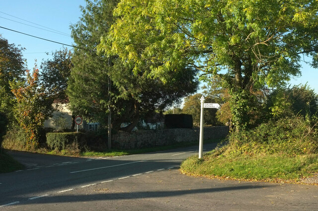
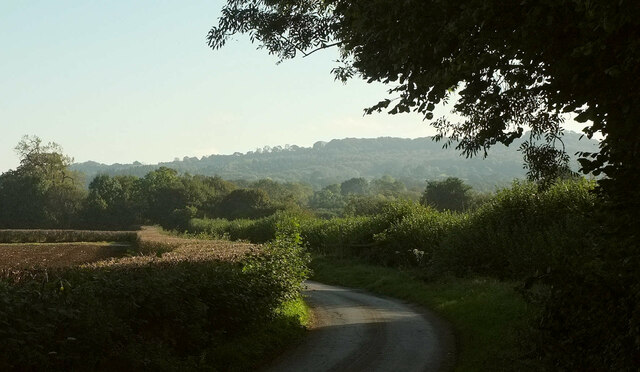
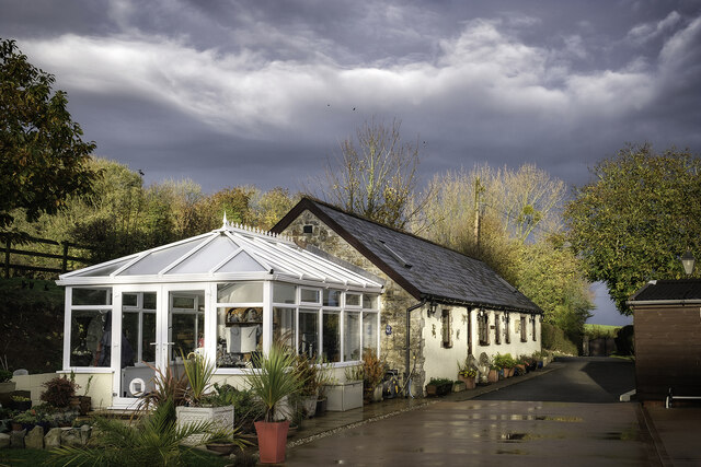
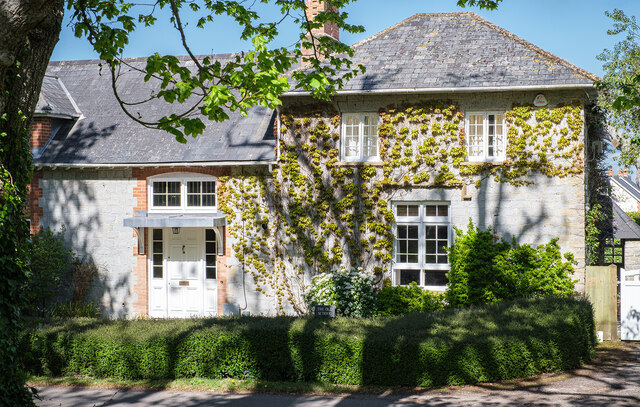
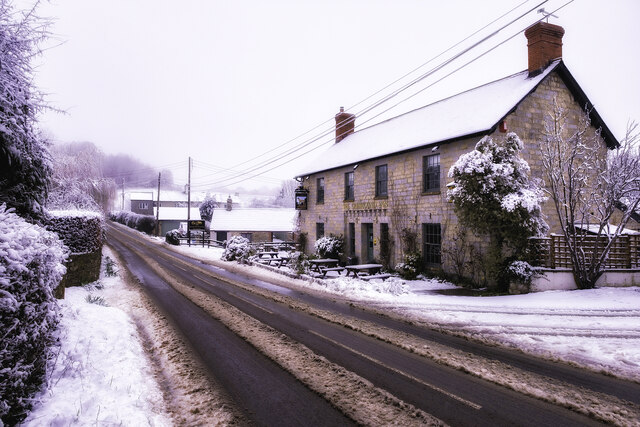
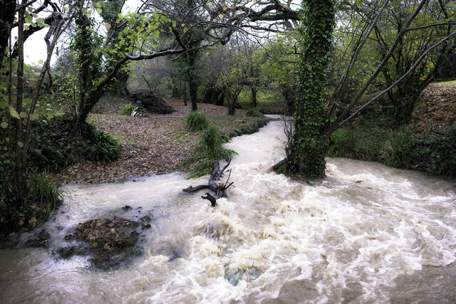
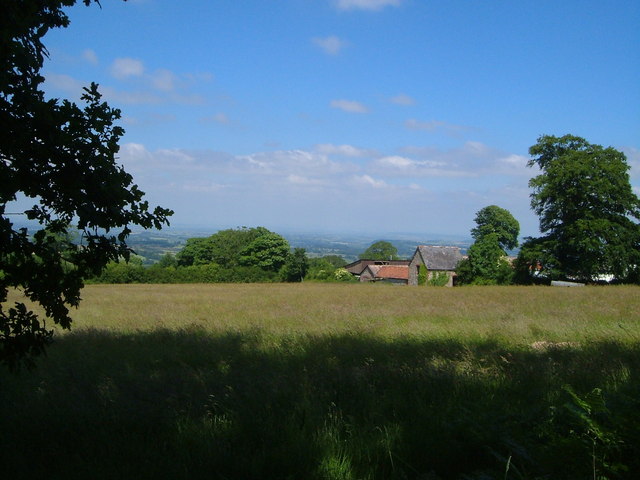
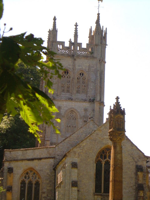
Greatlands Copse Images

Images are sourced within 2km of 50.953897/-3.0509401 or Grid Reference ST2617. Thanks to Geograph Open Source API. All images are credited.

Junction on Cold Road Cold Road (foreground and ahead) is followed by the parish boundary between Staple Fitzpaine (left) and Bickenhall. As it passes the junction, it crosses into <a href="https://www.geograph.org.uk/gridref/ST2719">ST2719</a>. The wood is Grughay Close.
Junction on Cold Road
Cold Road (foreground and ahead) is followed by the parish boundary between Staple Fitzpaine (left) and Bickenhall. As it passes the junction, it crosses into ST2719. The wood is Grughay Close.
Former post office, Curland The scene is shown leafless in <a href="https://www.geograph.org.uk/photo/4336081">ST2717 : Village Green, Curland</a>. As the sign on the left hints, the triangular green is one-way on its north and west sides. Maps from 1903 to 1993 show the building as a post office, the older ones naming it as Stoneleigh.
Former post office, Curland
The scene is shown leafless in ST2717 : Village Green, Curland. As the sign on the left hints, the triangular green is one-way on its north and west sides. Maps from 1903 to 1993 show the building as a post office, the older ones naming it as Stoneleigh.
Field by Bulford crossroads On the southeast side of the junction shown at <a title="https://www.geograph.org.uk/search.php?i=143407630" href="https://www.geograph.org.uk/search.php?i=143407630">Link</a> . In the distance is the hilltop at Castle Neroche.
Field by Bulford crossroads
On the southeast side of the junction shown at Link . In the distance is the hilltop at Castle Neroche.
Field near Bulford From the crossroads shown in <a href="https://www.geograph.org.uk/photo/2354095">ST2617 : Turning for Curland and Bickenhall</a>.
Field near Bulford
From the crossroads shown in ST2617 : Turning for Curland and Bickenhall.
Cold Road Looking in the opposite direction from <a href="https://www.geograph.org.uk/photo/6993743">ST2718 : Junction on Cold Road</a>, so that Staple Fitzpaine is on the right of the parish boundary as it follows the lane, and Bickenhall is on the left.
Cold Road
Looking in the opposite direction from ST2718 : Junction on Cold Road, so that Staple Fitzpaine is on the right of the parish boundary as it follows the lane, and Bickenhall is on the left.
Horseshoe Cottage at Staple Fitzpaine Horseshoe Cottage at Mill Farm in Staple Fitzpaine was originally a stone built cow shed or grain store, associated with the now defunct Staple Mill. In 2019/20, two cottages (Primrose Cottage and Horseshoe Cottage) were converted into one. Therefore, Primrose Cottage no longer exists as an address, despite it still appearing on some maps and databases.
Horseshoe Cottage at Staple Fitzpaine
Horseshoe Cottage at Mill Farm in Staple Fitzpaine was originally a stone built cow shed or grain store, associated with the now defunct Staple Mill. In 2019/20, two cottages (Primrose Cottage and Horseshoe Cottage) were converted into one. Therefore, Primrose Cottage no longer exists as an address, despite it still appearing on some maps and databases.
The Old School in Staple Fitzpaine The Old School is opposite St Peter's Church. It is a private residence.
The Old School in Staple Fitzpaine
The Old School is opposite St Peter's Church. It is a private residence.
The Greyhound Inn Snow on the Greyhound Inn at Staple Fitzpaine in Taunton Deane, Somerset.
The Greyhound Inn
Snow on the Greyhound Inn at Staple Fitzpaine in Taunton Deane, Somerset.
Staple Fitzpaine Millstream The stream in flood (Dec 2023). As seen from private land at Mill Farm.
Staple Fitzpaine Millstream
The stream in flood (Dec 2023). As seen from private land at Mill Farm.
Mount Fancy Farm This farm is set high amid clearings on the Blackdown Hills, at the end of its own long access road. 2:48 pm.
Mount Fancy Farm
This farm is set high amid clearings on the Blackdown Hills, at the end of its own long access road. 2:48 pm.
St Peter's church, Staple Fitzpaine Seen from the east <span class="nowrap"><a title="http://webapp1.somerset.gov.uk/her/details.asp?prn=41068" rel="nofollow ugc noopener" href="http://webapp1.somerset.gov.uk/her/details.asp?prn=41068">Link</a><img style="margin-left:2px;" alt="External link" title="External link - shift click to open in new window" src="https://s1.geograph.org.uk/img/external.png" width="10" height="10"/></span> . <a href="https://www.geograph.org.uk/photo/3367813">ST2618 : Church, Staple Fitzpaine</a> attempts a straighter version.
St Peter's church, Staple Fitzpaine
Seen from the east LinkExternal link . ST2618 : Church, Staple Fitzpaine attempts a straighter version.
Curland Methodist Chapel The former Wesleyan chapel dates from 1824 with later alterations <span class="nowrap"><a title="http://webapp1.somerset.gov.uk/her/details.asp?prn=18064" rel="nofollow ugc noopener" href="http://webapp1.somerset.gov.uk/her/details.asp?prn=18064">Link</a><img style="margin-left:2px;" alt="External link" title="External link - shift click to open in new window" src="https://s1.geograph.org.uk/img/external.png" width="10" height="10"/></span> . It ceased use as a place of worship around the Millennium. Since this photo was taken, it has been converted.
Curland Methodist Chapel
The former Wesleyan chapel dates from 1824 with later alterations LinkExternal link . It ceased use as a place of worship around the Millennium. Since this photo was taken, it has been converted.
Cottages on Parsonage Lane, Staple Fitzpaine Seen from a footpath which seems to have disappeared.
Cottages on Parsonage Lane, Staple Fitzpaine
Seen from a footpath which seems to have disappeared.
Field near Staple Fitzpaine These oaks give a park-like appearance to this field near Perry Hall.
Field near Staple Fitzpaine
These oaks give a park-like appearance to this field near Perry Hall.
Staple Fitzpaine manor house and church Seen from the southeast, from the busy road that runs through the village. See also <a href="https://www.geograph.org.uk/photo/3367799">ST2618 : Road at Staple Fitzpaine</a> and <a href="https://www.geograph.org.uk/photo/157100">ST2618 : Staple Fitzpaine manor house</a>.
Staple Fitzpaine manor house and church
Seen from the southeast, from the busy road that runs through the village. See also ST2618 : Road at Staple Fitzpaine and ST2618 : Staple Fitzpaine manor house.
Staple Fitzpaine manor house The former rectory was built of blue lias with hamstone dressings in 1840 and is described at <span class="nowrap"><a title="http://webapp1.somerset.gov.uk/her/details.asp?prn=41076" rel="nofollow ugc noopener" href="http://webapp1.somerset.gov.uk/her/details.asp?prn=41076">Link</a><img style="margin-left:2px;" alt="External link" title="External link - shift click to open in new window" src="https://s1.geograph.org.uk/img/external.png" width="10" height="10"/></span>
Staple Fitzpaine manor house
The former rectory was built of blue lias with hamstone dressings in 1840 and is described at LinkExternal link
New Road near Whitty Officially called New Road, this straight road (1 1/4m in length) was built in the late 1800's by the rector of Staple Fitzpaine to give him fast access to Bickenhall church (now Neroche Parish Hall). It forms part of the Taunton-Ilminster commuter route, and is a lethal piece of road at times!!
New Road near Whitty
Officially called New Road, this straight road (1 1/4m in length) was built in the late 1800's by the rector of Staple Fitzpaine to give him fast access to Bickenhall church (now Neroche Parish Hall). It forms part of the Taunton-Ilminster commuter route, and is a lethal piece of road at times!!
Show me another place!

Greatlands Copse is located at Grid Ref: ST2617 (Lat: 50.953897, Lng: -3.0509401)

Administrative County: Somerset

District: Somerset West and Taunton

Police Authority: Avon and Somerset

What 3 Words

///diverting.haunt.motoring. Near Taunton, Somerset

Related Wikis

William Portman Almshouses

The William Portman Almshouses in Staple Fitzpaine, Somerset, England was built in 1643. It is a Grade II* listed building. == History == The almshouses...

Staple Fitzpaine

Staple Fitzpaine is a village and civil parish in Somerset, England, situated 5 miles (8.0 km) south of Taunton. The village has a population of 189 and...

All Saints Church, Curland

All Saints Church is a former Church of England parish church in Curland, Somerset, England. Designed by Benjamin Ferrey, it was built in 1855–56 to replace...

Curland

Curland is a village and civil parish in Somerset, England, situated 6 miles (9.7 km) south of Taunton. The village has a population of 225. The parish...

Ruttersleigh

Ruttersleigh (grid reference ST250165) is a 97 hectares (240 acres) biological Site of Special Scientific Interest between Buckland St Mary and Staple...

Bickenhall

Bickenhall is a hamlet and parish in Somerset, England, situated 5 miles (8.0 km) south east of Taunton. The parish, which includes the hamlet of Batten...

Castle Neroche

Castle Neroche is a Norman motte-and-bailey castle on the site of an earlier hill fort in the parish of Curland, near Staple Fitzpaine, Somerset, England...

Staple Hill (Somerset)

Staple Hill is a hill in the English county of Somerset, the highest point in the Blackdown Hills. It is classed as both a Marilyn and a Hardy.This is...

Nearby Amenities

Located within 500m of 50.953897,-3.0509401
Devil's Stone
Archaeological Site: standing_stone
Historic: archaeological_site
Source: OS OpenData StreetView
Lat/Long: 50.9559781/-3.0472697
Bow Green
Place: hamlet
Lat/Long: 50.9553697/-3.0570524
The data included in this document is from www.openstreetmap.org. The data is made available under ODbL.

Have you been to Greatlands Copse?

Leave your review of Greatlands Copse below (or comments, questions and feedback).