Bulbery

Settlement in Hampshire Test Valley

England

Bulbery

Monxton cross roads in centre of village
Monxton cross roads in centre of village Credit: John Firth

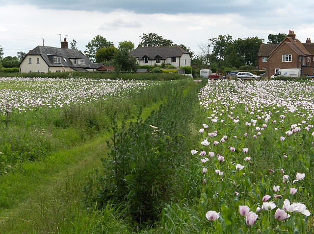
Bulbery is a small village located in the county of Hampshire, in southern England. Situated approximately 5 miles southeast of the town of Winchester, Bulbery is nestled in a picturesque rural setting surrounded by rolling hills and lush green fields.

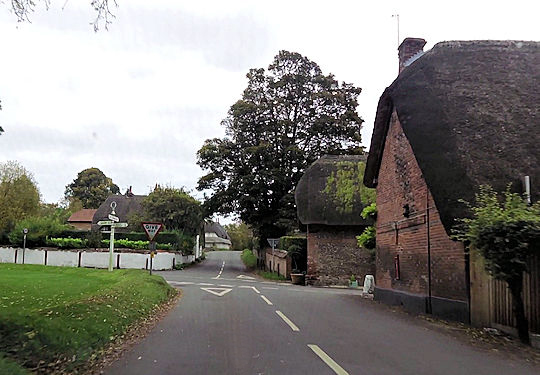
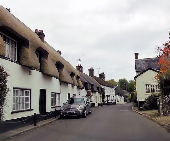
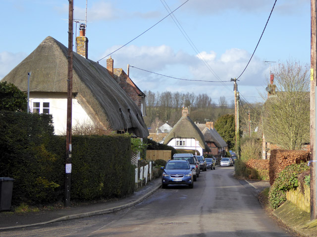
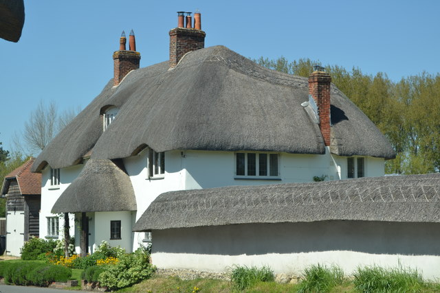
The village is home to a close-knit community of around 500 residents, offering a tranquil and idyllic lifestyle. The architecture in Bulbery is characterized by traditional English cottages, many of which date back to the 18th and 19th centuries, adding to the village's charm and historical appeal.

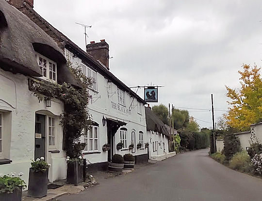
Although small in size, Bulbery boasts a few amenities to cater to its residents. The village is proud to have a local pub, The Bull's Head, serving as a popular gathering spot for locals and visitors alike. Additionally, there is a primary school in the village, providing education for the younger population.

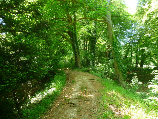
Nature enthusiasts will find plenty to explore in the surrounding area. The nearby South Downs National Park offers breathtaking landscapes and picturesque walking trails, providing opportunities for outdoor activities such as hiking, cycling, and birdwatching.

For those seeking a more vibrant urban experience, the city of Winchester is easily accessible from Bulbery. Winchester offers a range of amenities including shops, restaurants, cultural attractions, and historical landmarks, such as Winchester Cathedral and the medieval Great Hall.

Overall, Bulbery offers a peaceful and close community spirit, combined with its picturesque surroundings and proximity to larger towns, making it an attractive place to reside for those seeking a rural lifestyle.

If you have any feedback on the listing, please let us know in the comments section below.
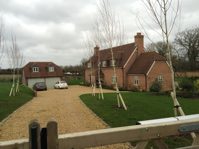
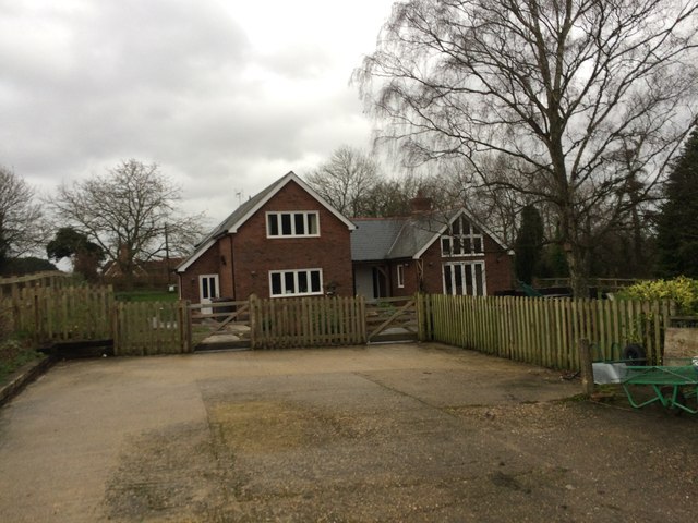
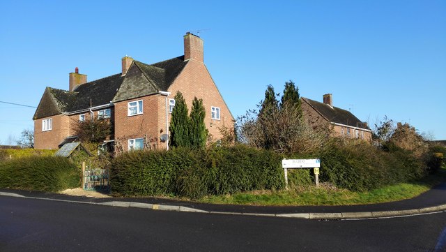
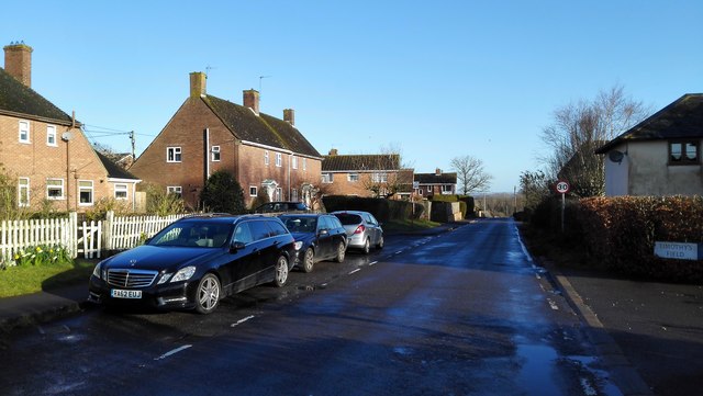
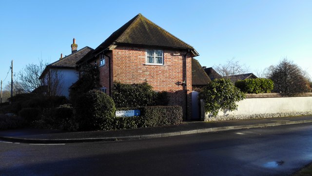
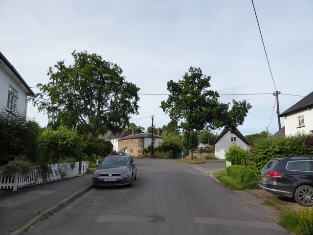
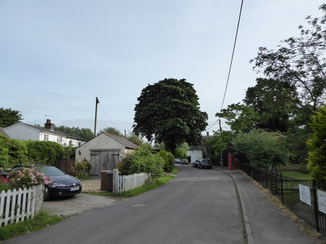
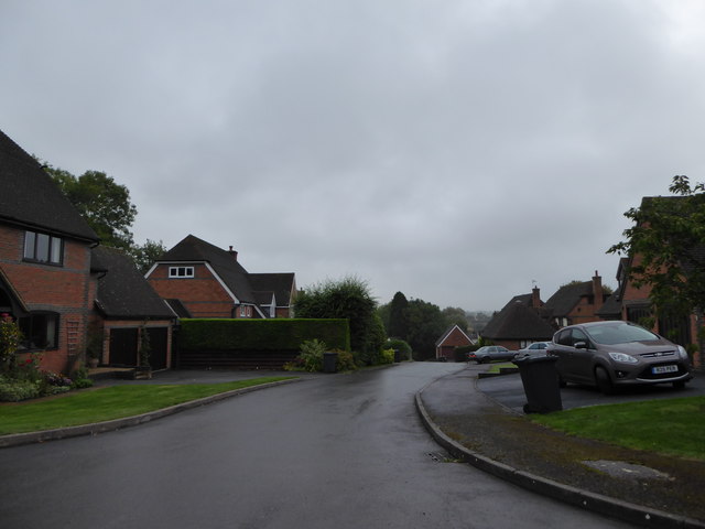
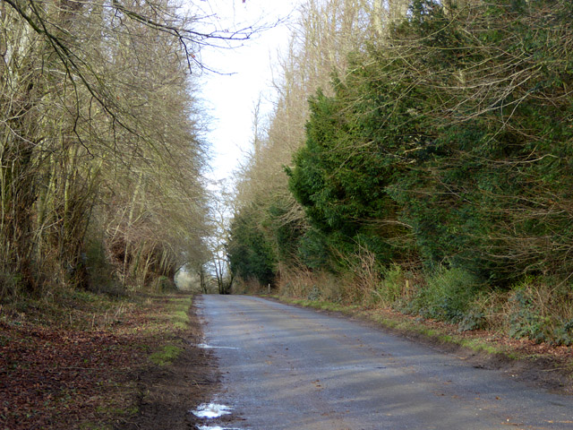
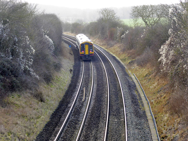
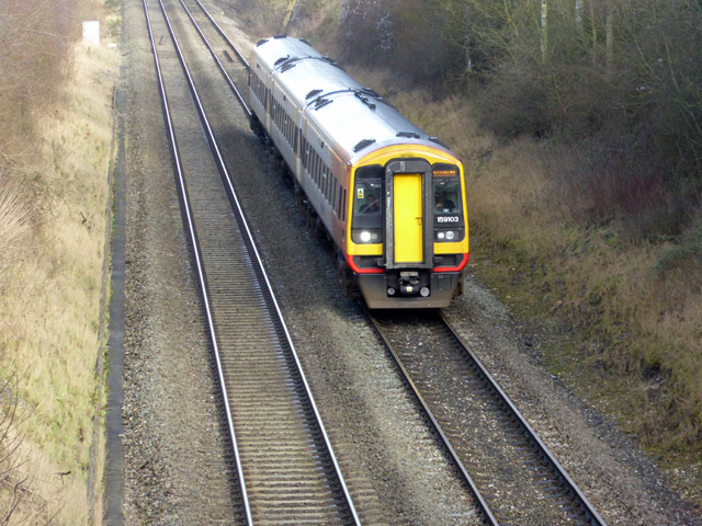
Bulbery Images

Images are sourced within 2km of 51.186475/-1.5309834 or Grid Reference SU3243. Thanks to Geograph Open Source API. All images are credited.

Monxton cross roads in centre of village
Thatched Cottages in Monxton High Street
The Black Swan Monxton
Housing by Monxton Lane
Milne House, Abbotts Ann
20 Cattle Lane, Abbotts Ann
Houses on Burberry off Ducks Street
Houses on Ducks Street
House on Catherines Walk
2016: a year on Geograph (Day 188) Severe traffic jam in Abbotts Ann
2016: a year on Geograph (Day 188)
Severe traffic jam in Abbotts Ann
Approaching  a phone box in Abbotts Ann (taken in Duck Street)
Approaching a phone box in Abbotts Ann
(taken in Duck Street)
2016: a year on Geograph (Day 271) Abbotts Hill, Abbotts Ann
2016: a year on Geograph (Day 271)
Abbotts Hill, Abbotts Ann
Stockbridge Road Heading towards Abbots Ann.
Stockbridge Road
Heading towards Abbots Ann.
Railway near Monxton Unit 159 103 forms a train heading west, viewed from bridge BAE1 E4/191. The train is the 12:50 from Waterloo, terminating at Yeovil Pen Mill, running to time.
Railway near Monxton
Unit 159 103 forms a train heading west, viewed from bridge BAE1 E4/191. The train is the 12:50 from Waterloo, terminating at Yeovil Pen Mill, running to time.
Train near Monxton Unit 159 103 forms a train heading west, viewed from bridge BAE1 E4/191. The train is the 12:50 from Waterloo, terminating at Yeovil Pen Mill, running to time.
Train near Monxton
Unit 159 103 forms a train heading west, viewed from bridge BAE1 E4/191. The train is the 12:50 from Waterloo, terminating at Yeovil Pen Mill, running to time.
Duck Street, Abbotts Ann A street of several grade II listed thatched cottages.
Duck Street, Abbotts Ann
A street of several grade II listed thatched cottages.
Thatched house and wall at Monxton
Houses by Foundry Road, Anna Valley The fronts are on a little close, Tasker Drive.
Houses by Foundry Road, Anna Valley
The fronts are on a little close, Tasker Drive.
Show me another place!

Bulbery is located at Grid Ref: SU3243 (Lat: 51.186475, Lng: -1.5309834)

Administrative County: Hampshire

District: Test Valley

Police Authority: Hampshire

What 3 Words

///lush.fires.diner. Near Abbotts Ann, Hampshire

Nearby Locations

Bulbery

Related Wikis

Abbotts Ann Down

Abbotts Ann Down is a hamlet in Hampshire, England, within the civil parish of Abbotts Ann. The settlement lies on the A343 road and is approximately 3...

Little Ann

Little Ann is an English hamlet attached to Abbotts Ann, approximately two miles south-west of Andover in the north-west of Hampshire. The Poplar Farm...

Red Rice, Hampshire

Red Rice is a hamlet and country house in the civil parish of Upper Clatford, south-west of Andover in the English county of Hampshire. == Etymology... ==

Bury Hill

Bury Hill is the site of a former Iron Age hillfort about 1.5 miles (2.4 km) southwest of the centre of Andover, Hampshire. The site encloses about 22...

Nearby Amenities

Located within 500m of 51.186475,-1.5309834
Bus Stop
St Johns Cross
Naptan AtcoCode: 1900HA100282
Naptan Bearing: NW
Naptan BusStopType: CUS
Naptan CommonName: St Johns Cross
Naptan Crossing: Salisbury Road
Naptan NaptanCode: hamamatj
Naptan Street: Rd Through Abbotts Ann
Naptan Verified: no
Source: naptan_import
Lat/Long: 51.1824693/-1.5283085
Bus Stop
St Johns Cross
Naptan AtcoCode: 1900HA100283
Naptan Bearing: SE
Naptan CommonName: St Johns Cross
Naptan Crossing: Salisbury Road
Naptan NaptanCode: hamamatm
Naptan Street: Rd Through Abbotts Ann
Naptan Verified: no
Source: naptan_import
Lat/Long: 51.1824987/-1.5282563
Bus Stop
Criswick Close
Naptan AtcoCode: 1900HA100284
Naptan Bearing: S
Naptan CommonName: Criswick Close
Naptan Crossing: Criswick Close
Naptan NaptanCode: hamamamj
Naptan Street: Rd Through Abbotts Ann
Naptan Verified: no
Source: naptan_import
Lat/Long: 51.1854742/-1.5298081
Bus Stop
Criswick Close
Naptan AtcoCode: 1900HA100285
Naptan Bearing: N
Naptan CommonName: Criswick Close
Naptan Crossing: Criswick Close
Naptan NaptanCode: hamamamg
Naptan Street: Rd Through Abbotts Ann
Naptan Verified: no
Source: naptan_import
Lat/Long: 51.1853589/-1.5299064
Bus Stop
Bulbery
Naptan AtcoCode: 1900HA100286
Naptan Bearing: N
Naptan CommonName: Bulbery
Naptan Crossing: Bulbery
Naptan NaptanCode: hamamajg
Naptan Street: Rd Through Abbotts Ann
Naptan Verified: no
Source: naptan_import
Lat/Long: 51.1871653/-1.530548
Bus Stop
Bulbery
Naptan AtcoCode: 1900HA100287
Naptan Bearing: S
Naptan BusStopType: CUS
Naptan CommonName: Bulbery
Naptan Crossing: Bulbery
Naptan NaptanCode: hamamajm
Naptan Street: Rd Through Abbotts Ann
Naptan Verified: no
Source: naptan_import
Lat/Long: 51.1871564/-1.5304392
Bus Stop
The Eagle Public House
Naptan AtcoCode: 1900HA100288
Naptan Bearing: N
Naptan CommonName: The Eagle Ph
Naptan Landmark: O/s Post Office
Naptan NaptanCode: hamamaja
Naptan Street: Rd Through Abbotts Ann
Naptan Verified: no
Source: naptan_import
Lat/Long: 51.1896811/-1.5312187
Bus Stop
The Eagle Public House
Naptan AtcoCode: 1900HA100289
Naptan Bearing: S
Naptan BusStopType: CUS
Naptan CommonName: The Eagle Ph
Naptan NaptanCode: hamamajd
Naptan Street: Rd Through Abbotts Ann
Naptan Verified: no
Source: naptan_import
Lat/Long: 51.189679/-1.5311232
Abbotts Ann
Place: village
Wikidata: Q660124
Wikipedia: en:Abbotts Ann
Lat/Long: 51.1907001/-1.5314228
The data included in this document is from www.openstreetmap.org. The data is made available under ODbL.

Have you been to Bulbery?

Leave your review of Bulbery below (or comments, questions and feedback).