Buerton Moss
Settlement in Cheshire
England
Buerton Moss
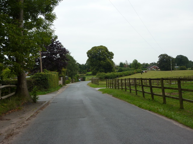
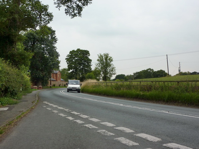
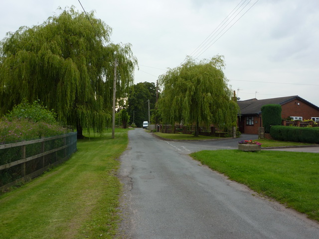
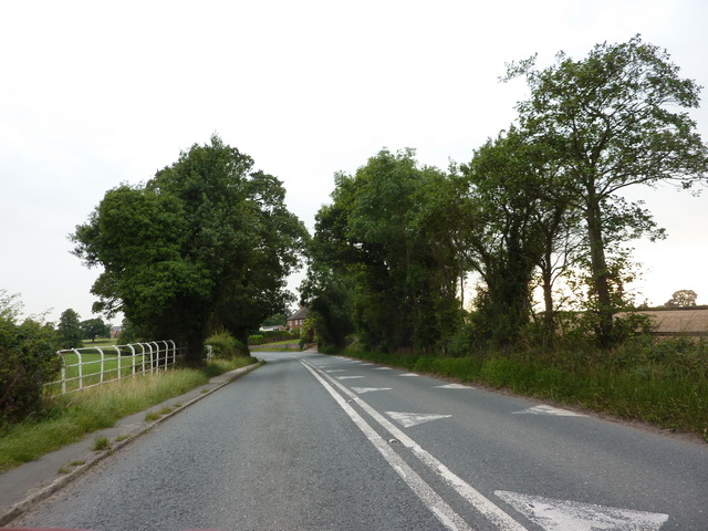
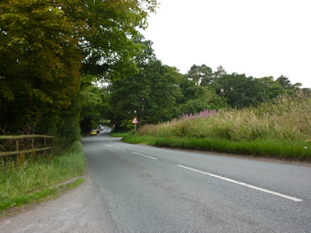
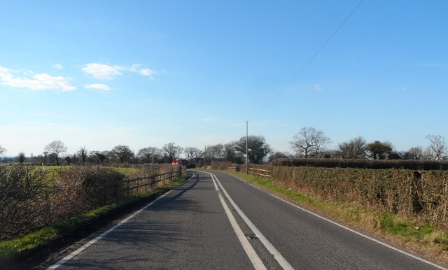
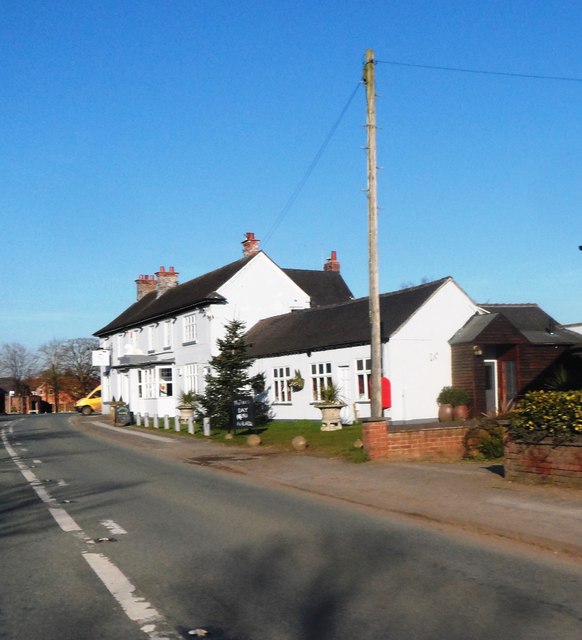
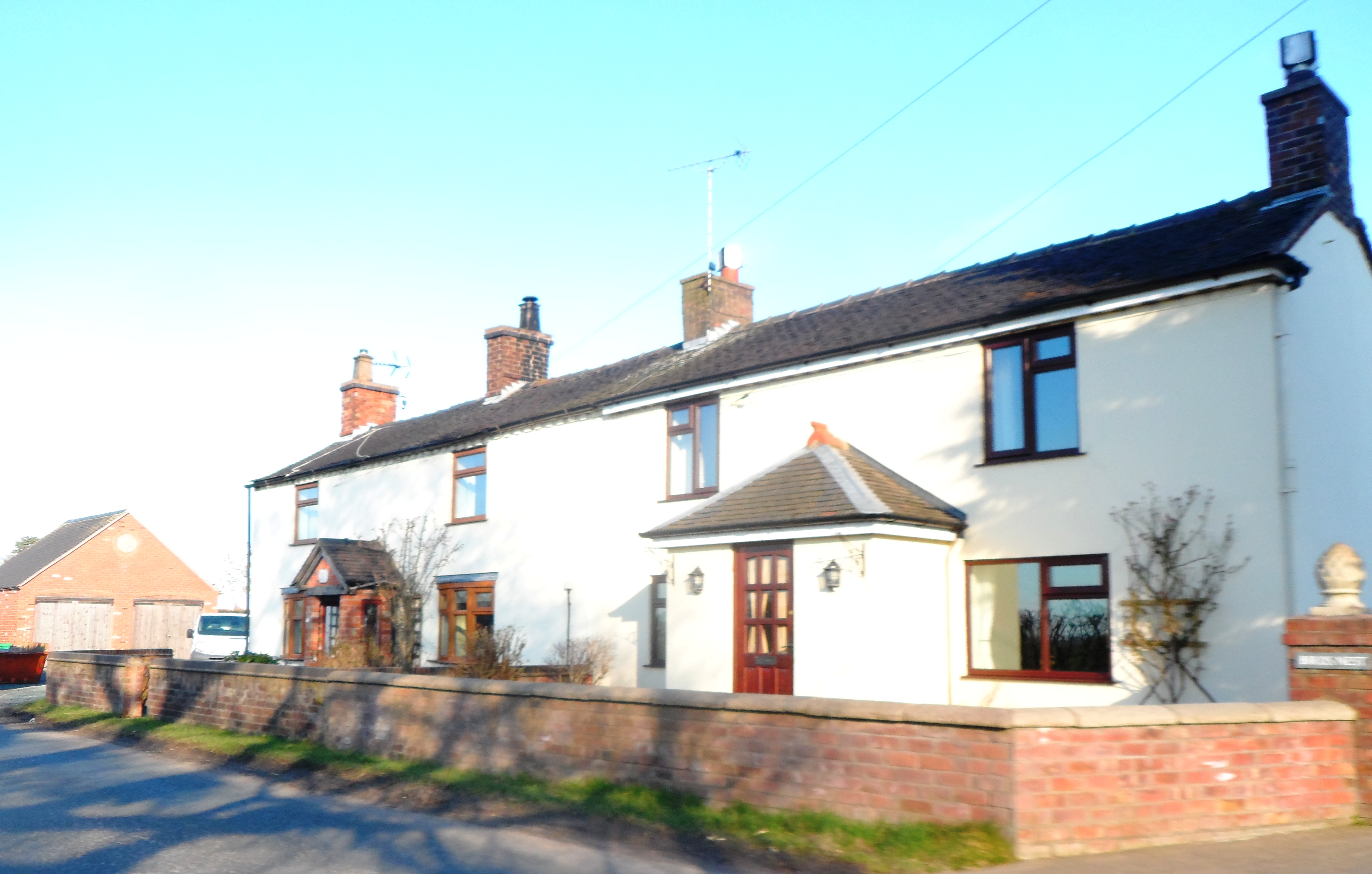
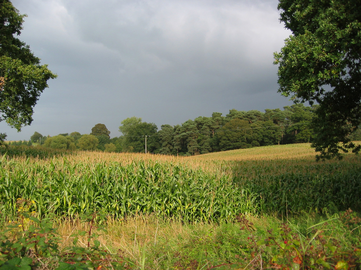
Buerton Moss is a small village located in the county of Cheshire, England. Situated approximately 5 miles south of the town of Crewe, it is nestled in the heart of the Cheshire countryside. The village is known for its picturesque surroundings, with rolling green fields, meandering streams, and charming rural landscapes.
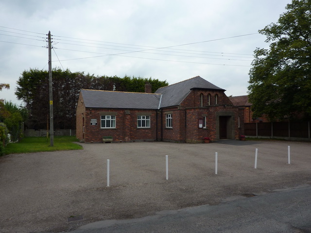
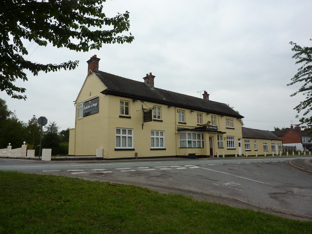
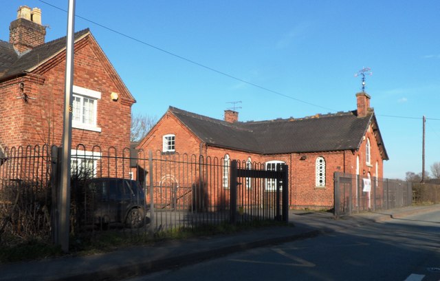
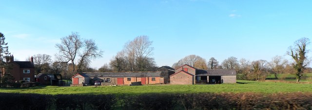
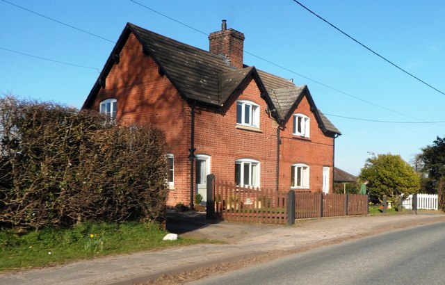
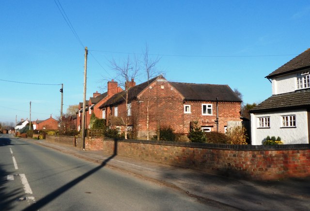
Buerton Moss is a predominantly residential area, with a population of around 300 people. The village is characterized by its traditional Cheshire architecture, with many houses and buildings constructed from local red sandstone. The village center is home to a small number of amenities, including a post office and a local pub, providing a sense of community for its residents.
One of the main attractions of Buerton Moss is its proximity to nature. The village is surrounded by several nature reserves, including Wybunbury Moss National Nature Reserve and the Marbury Reedbeds. These areas offer a diverse range of flora and fauna, making it a haven for nature enthusiasts and birdwatchers. The Moss itself is an area of peat bog, which is home to a unique ecosystem and provides a habitat for a variety of plant and animal species.
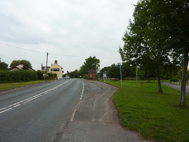
Despite its rural location, Buerton Moss benefits from good transport links. The nearby town of Crewe offers regular train services, connecting the village to major cities such as Manchester and Liverpool. Additionally, the village is situated close to major road networks, including the M6 motorway, making it easily accessible by car.
Overall, Buerton Moss offers a tranquil and idyllic setting, perfect for those seeking a peaceful rural retreat while still enjoying the convenience of nearby amenities and transport links.
If you have any feedback on the listing, please let us know in the comments section below.
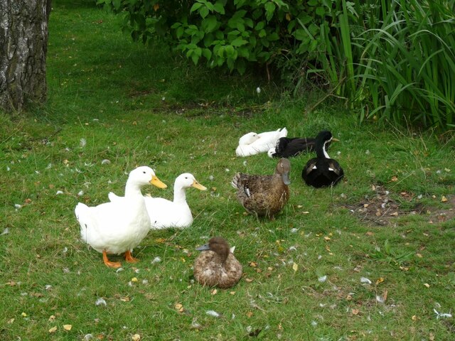
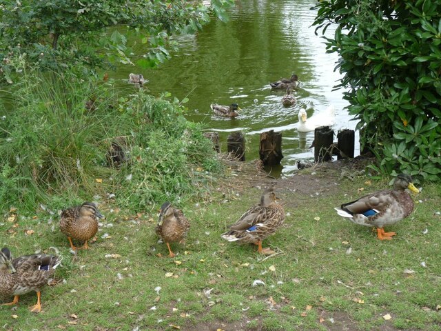
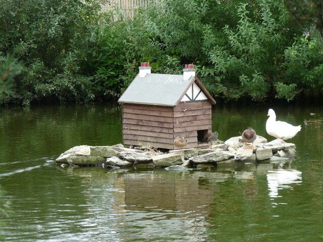
Buerton Moss Images
Images are sourced within 2km of 52.997803/-2.4743049 or Grid Reference SJ6844. Thanks to Geograph Open Source API. All images are credited.

Buerton Moss is located at Grid Ref: SJ6844 (Lat: 52.997803, Lng: -2.4743049)
Unitary Authority: Cheshire East
Police Authority: Cheshire
What 3 Words
///mercy.digests.meatball. Near Audlem, Cheshire
Nearby Locations
Related Wikis

Moblake
Moblake is a hamlet in Cheshire, England. It is situated on Longhill Lane, approximately 2 miles (3.2 km) east of the village of Audlem, just inside the...

Buerton, Cheshire East
Buerton is a village at SJ685435 and civil parish in the unitary authority of Cheshire East and the ceremonial county of Cheshire, England, about 7 miles...

Hankelow
Hankelow is a village and civil parish in the unitary authority of Cheshire East and the ceremonial county of Cheshire, England. The village lies on the...
Little Heath, Cheshire East
Little Heath is a village in the civil parish of Audlem, Cheshire, England. It is located to the north of Audlem, between Lonk Land and Audlem Road, the...

Ball Farm
Ball Farm is the oldest surviving building in the village of Hankelow, near Audlem in Cheshire, England, and is thought to date from 1510. Most of its...
Hunsterson
Hunsterson is a hamlet (at SJ697461) and former civil parish, now in the parish of Doddington and District, in the unitary authority area of Cheshire East...

Audlem Baptist Church
Audlem Baptist Church is in Woore Road, Audlem, Cheshire, England. It is an active Baptist church, and is recorded in the National Heritage List for England...

Hankelow Hall
Hankelow Hall is a former country house to the north of the village of Hankelow, Cheshire, England. == History == The present house dates from the early...
Nearby Amenities
Located within 500m of 52.997803,-2.4743049Have you been to Buerton Moss?
Leave your review of Buerton Moss below (or comments, questions and feedback).