Blackwater Moss
Wood, Forest in Cheshire
England
Blackwater Moss
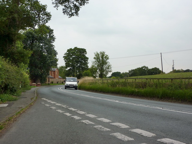
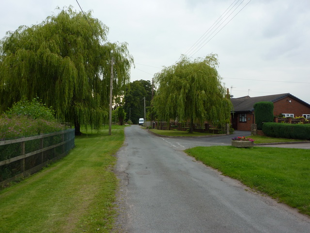
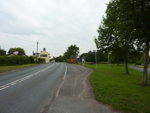
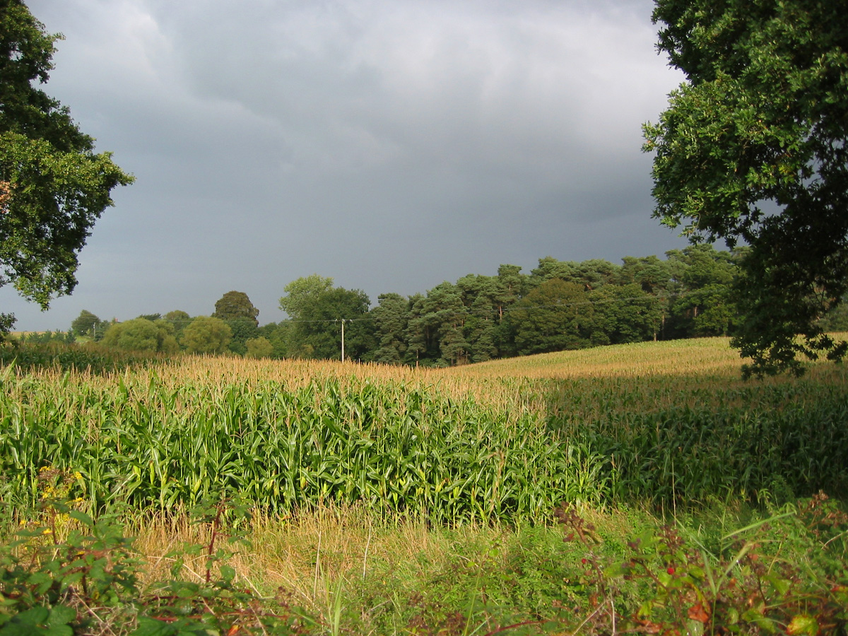
Blackwater Moss is a picturesque woodland located in Cheshire, England. Situated near the village of Blackwater, it covers an area of approximately 200 acres and is known for its dense forest and tranquil atmosphere. The moss takes its name from the nearby Blackwater River, which flows through the woodlands, adding to the beauty of the surroundings.
The woodland of Blackwater Moss is primarily composed of deciduous trees, including oak, beech, and birch, which create a stunning canopy of greenery in the summer months. The forest floor is covered in a carpet of moss, giving the woodland its unique name. This moss not only adds to the aesthetic appeal of the area but also provides a habitat for various wildlife species.
The diverse ecosystem of Blackwater Moss is home to a wide range of flora and fauna. Visitors can spot numerous bird species, such as woodpeckers, owls, and songbirds, making it a popular destination for birdwatchers. The woodland also supports a variety of mammals, including deer, foxes, and squirrels.
The woodlands of Blackwater Moss offer a peaceful retreat for nature lovers and outdoor enthusiasts. There are several walking trails that wind through the forest, allowing visitors to explore the beauty of the surroundings at their own pace. The moss-covered paths create a magical atmosphere, especially during autumn when the leaves change color, providing a stunning display of reds, oranges, and yellows.
Overall, Blackwater Moss is a captivating woodland in Cheshire, offering visitors a chance to immerse themselves in nature and experience the tranquility of the forest.
If you have any feedback on the listing, please let us know in the comments section below.
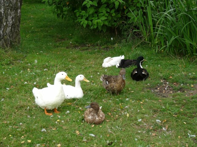
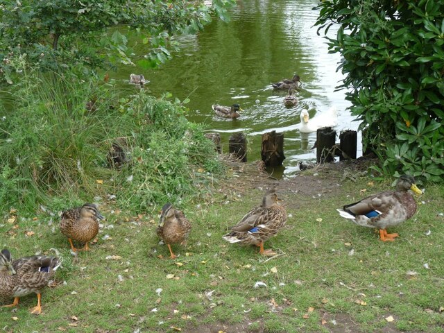
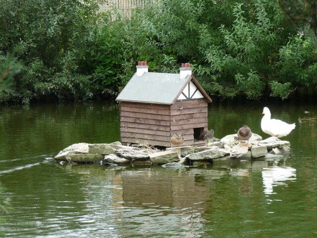
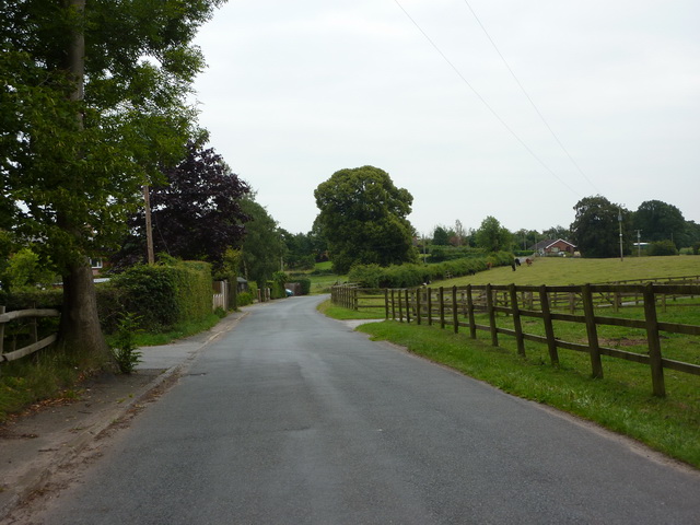
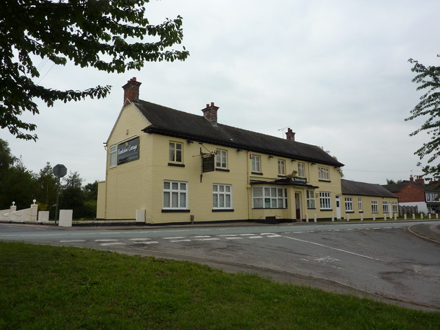
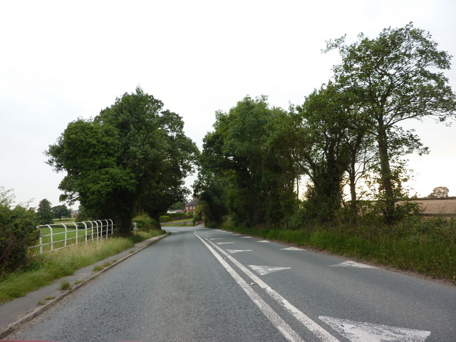
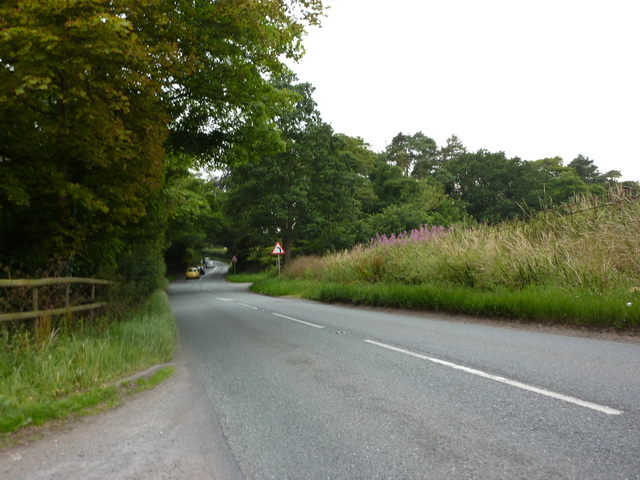
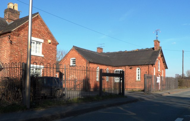
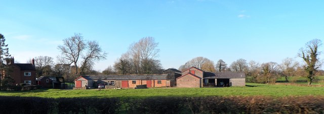
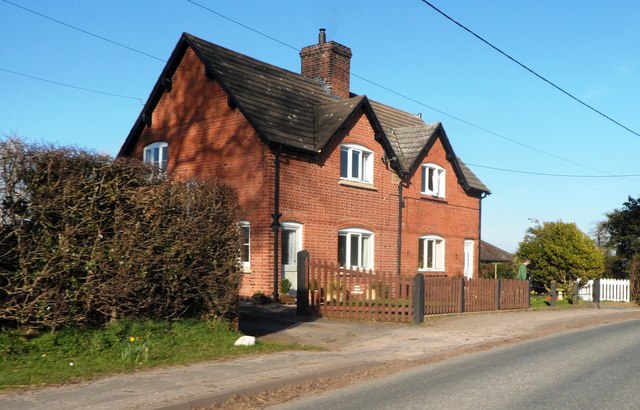
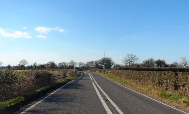
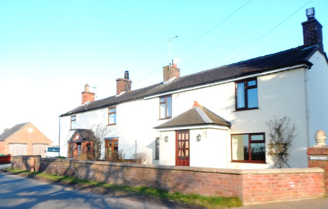
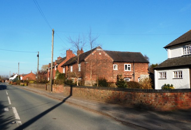
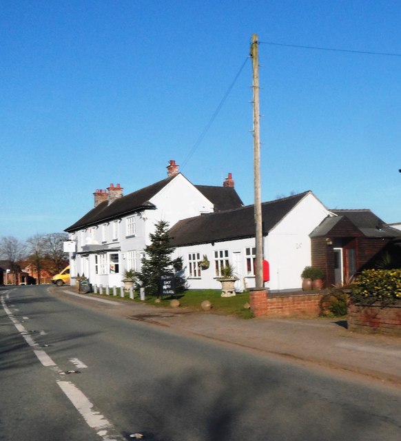
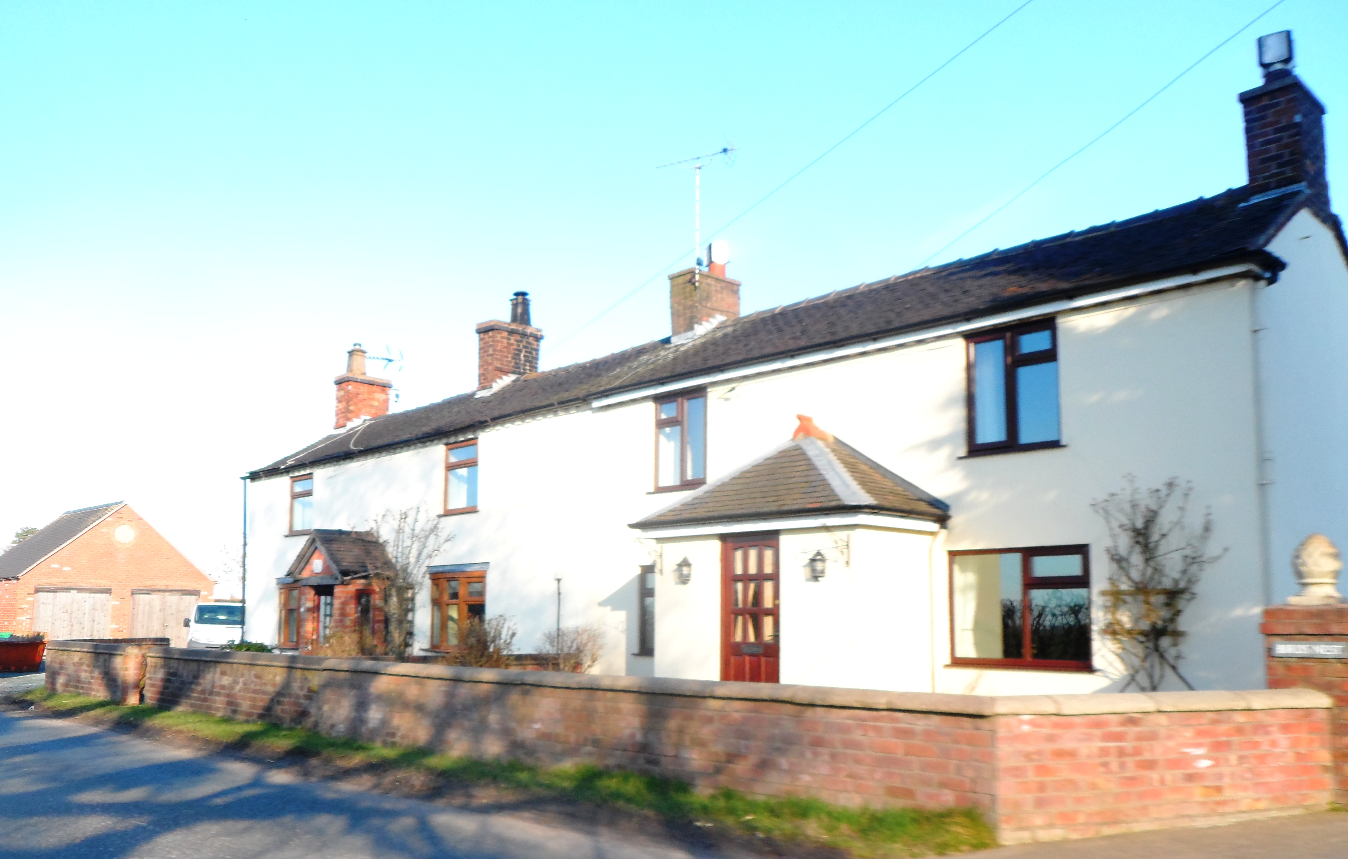
Blackwater Moss Images
Images are sourced within 2km of 52.998045/-2.4766767 or Grid Reference SJ6844. Thanks to Geograph Open Source API. All images are credited.
Blackwater Moss is located at Grid Ref: SJ6844 (Lat: 52.998045, Lng: -2.4766767)
Unitary Authority: Cheshire East
Police Authority: Cheshire
What 3 Words
///builder.tent.inversion. Near Audlem, Cheshire
Nearby Locations
Related Wikis

Moblake
Moblake is a hamlet in Cheshire, England. It is situated on Longhill Lane, approximately 2 miles (3.2 km) east of the village of Audlem, just inside the...

Buerton, Cheshire East
Buerton is a village at SJ685435 and civil parish in the unitary authority of Cheshire East and the ceremonial county of Cheshire, England, about 7 miles...

Hankelow
Hankelow is a village and civil parish in the unitary authority of Cheshire East and the ceremonial county of Cheshire, England. The village lies on the...
Little Heath, Cheshire East
Little Heath is a village in the civil parish of Audlem, Cheshire, England. It is located to the north of Audlem, between Lonk Land and Audlem Road, the...

Ball Farm
Ball Farm is the oldest surviving building in the village of Hankelow, near Audlem in Cheshire, England, and is thought to date from 1510. Most of its...

Audlem Baptist Church
Audlem Baptist Church is in Woore Road, Audlem, Cheshire, England. It is an active Baptist church, and is recorded in the National Heritage List for England...

Hankelow Hall
Hankelow Hall is a former country house to the north of the village of Hankelow, Cheshire, England. == History == The present house dates from the early...
Hunsterson
Hunsterson is a hamlet (at SJ697461) and former civil parish, now in the parish of Doddington and District, in the unitary authority area of Cheshire East...
Nearby Amenities
Located within 500m of 52.998045,-2.4766767Have you been to Blackwater Moss?
Leave your review of Blackwater Moss below (or comments, questions and feedback).