Longhill
Settlement in Cheshire
England
Longhill
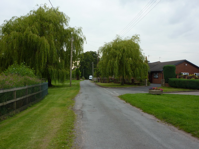
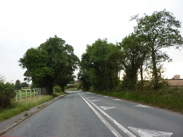
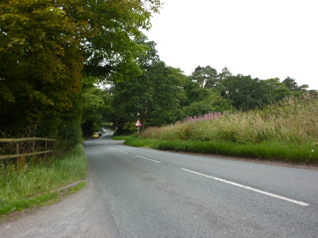
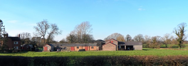
Longhill is a charming village located in the county of Cheshire, England. Situated approximately 6 miles southeast of the city of Chester, Longhill is nestled amidst the picturesque countryside of the Cheshire Plains. The village is characterized by its peaceful and idyllic setting, offering residents a tranquil lifestyle away from the hustle and bustle of urban areas.
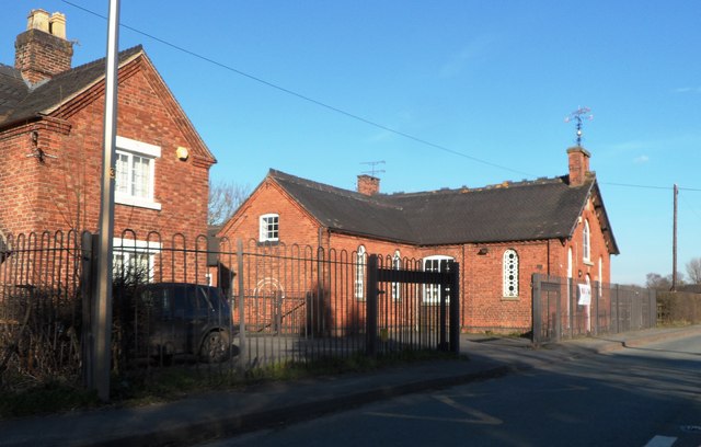
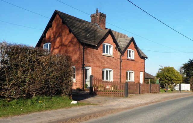
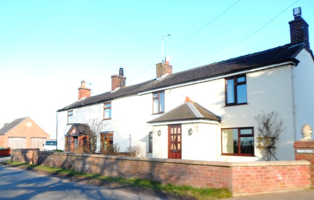
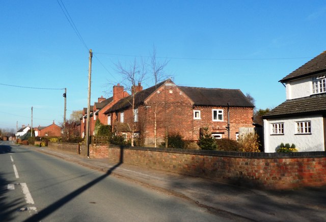
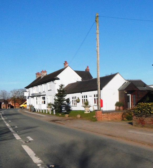
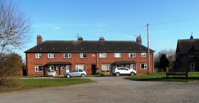
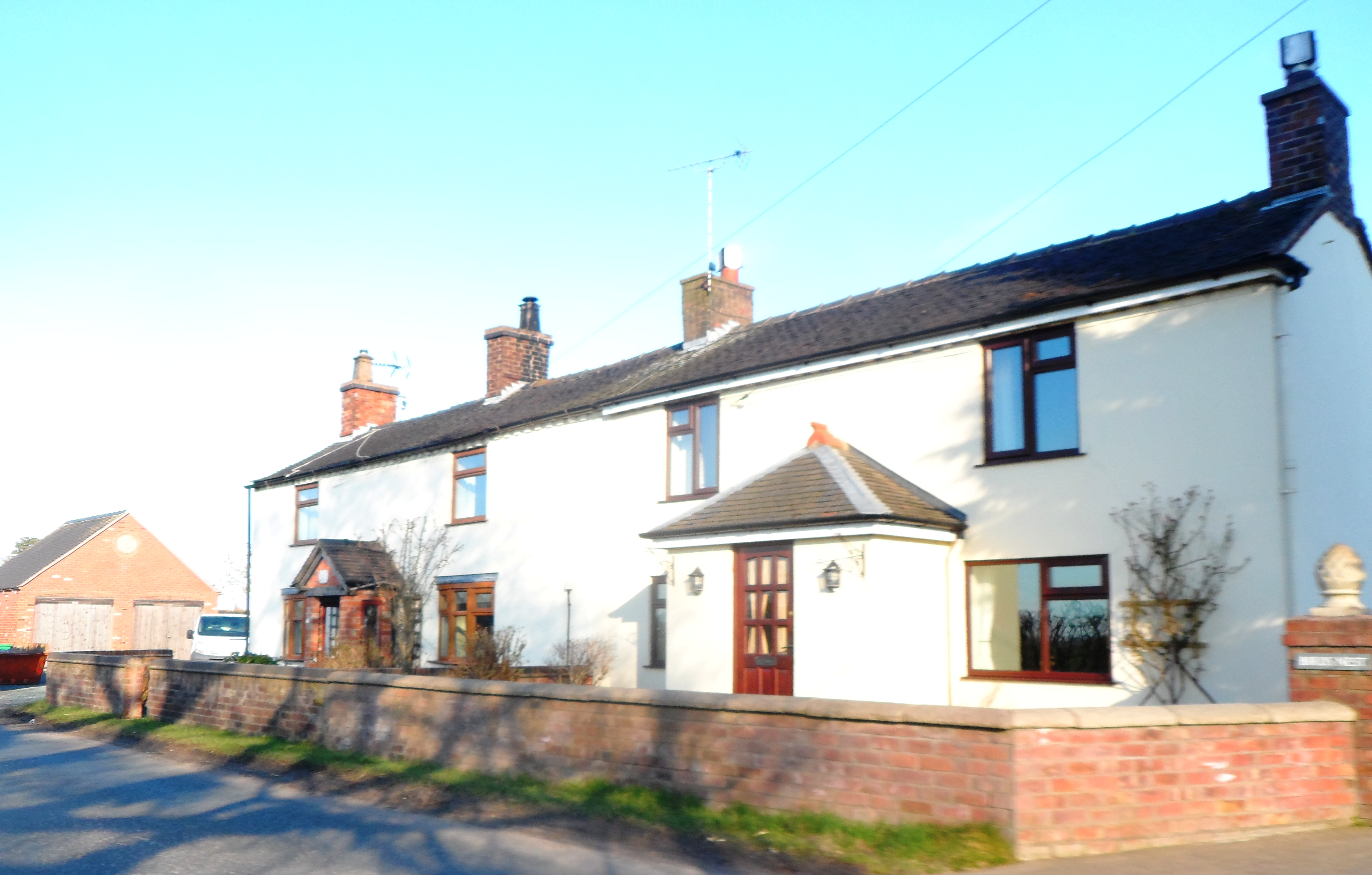
Longhill is renowned for its quaint and traditional architecture, with many buildings dating back several centuries. The village is home to a close-knit community, where residents take pride in preserving its rich heritage. The local parish church, St. Mary's, is a prominent landmark, showcasing stunning medieval craftsmanship.
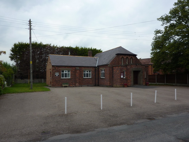
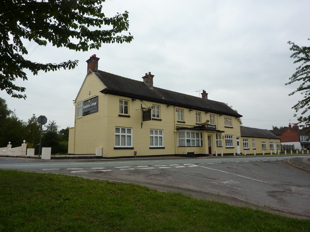
Despite its small size, Longhill offers a range of amenities to cater to the needs of its residents. The village boasts a local pub, The Longhill Inn, which serves as a social hub for both residents and visitors alike. Additionally, a village hall provides a space for community events and gatherings.
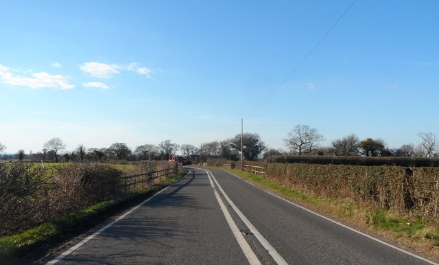
For those seeking to explore the surrounding natural beauty, Longhill offers easy access to the Cheshire countryside. Nearby attractions include the Delamere Forest, a popular destination for hiking, cycling, and wildlife spotting. The village is also conveniently located near the Shropshire Union Canal, providing opportunities for leisurely walks along the waterway.
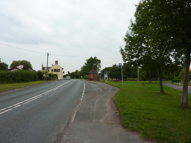
In terms of transportation, Longhill benefits from good connectivity. The A41 road runs close by, connecting the village to nearby towns and cities. Additionally, the Chester railway station is easily accessible, providing direct train services to major urban centers.
In summary, Longhill is a picturesque and peaceful village in Cheshire, offering a close-knit community, traditional architecture, and access to the stunning surrounding countryside.
If you have any feedback on the listing, please let us know in the comments section below.
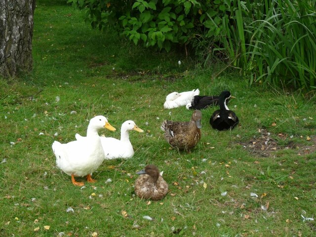
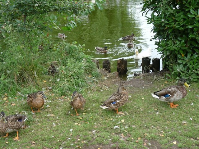
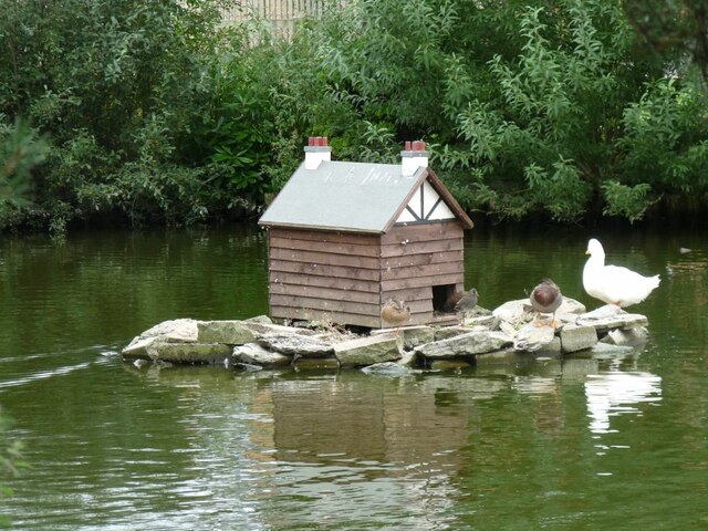
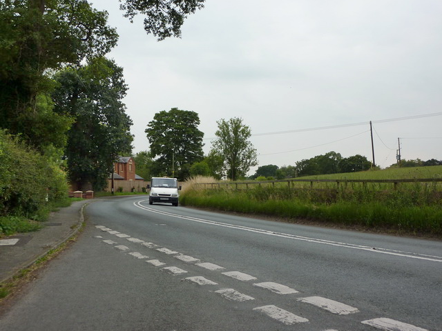
Longhill Images
Images are sourced within 2km of 52.995476/-2.4763206 or Grid Reference SJ6844. Thanks to Geograph Open Source API. All images are credited.
Longhill is located at Grid Ref: SJ6844 (Lat: 52.995476, Lng: -2.4763206)
Unitary Authority: Cheshire East
Police Authority: Cheshire
What 3 Words
///drove.cyclones.quicksand. Near Audlem, Cheshire
Nearby Locations
Related Wikis

Moblake
Moblake is a hamlet in Cheshire, England. It is situated on Longhill Lane, approximately 2 miles (3.2 km) east of the village of Audlem, just inside the...

Buerton, Cheshire East
Buerton is a village at SJ685435 and civil parish in the unitary authority of Cheshire East and the ceremonial county of Cheshire, England, about 7 miles...

Hankelow
Hankelow is a village and civil parish in the unitary authority of Cheshire East and the ceremonial county of Cheshire, England. The village lies on the...
Little Heath, Cheshire East
Little Heath is a village in the civil parish of Audlem, Cheshire, England. It is located to the north of Audlem, between Lonk Land and Audlem Road, the...

Ball Farm
Ball Farm is the oldest surviving building in the village of Hankelow, near Audlem in Cheshire, England, and is thought to date from 1510. Most of its...

Audlem Baptist Church
Audlem Baptist Church is in Woore Road, Audlem, Cheshire, England. It is an active Baptist church, and is recorded in the National Heritage List for England...

Audlem
Audlem ( ORD-ləm) is a village and civil parish located in the unitary authority of Cheshire East and the ceremonial county of Cheshire in North West England...

St James' Church, Audlem
St James' Church is in the village of Audlem in south Cheshire, England. It is recorded in the National Heritage List for England as a designated Grade...
Nearby Amenities
Located within 500m of 52.995476,-2.4763206Have you been to Longhill?
Leave your review of Longhill below (or comments, questions and feedback).