Black Patch
Settlement in Staffordshire
England
Black Patch
Black Patch is a small village located in the county of Staffordshire, England. Situated in the West Midlands region, it falls within the local government district of Cannock Chase. The village is nestled amidst picturesque countryside, offering a tranquil and serene environment.
With a population of around 500 residents, Black Patch retains a close-knit community feel. The village is primarily residential, with a scattering of small businesses and amenities, including a local convenience store and a traditional pub. The architecture of the area is a mix of old and new, with some historic cottages and farmhouses alongside modern housing developments.
The surrounding area of Black Patch is renowned for its natural beauty, making it a popular destination for outdoor enthusiasts. The nearby Cannock Chase, an Area of Outstanding Natural Beauty, offers vast woodlands, rolling hills, and diverse wildlife. This makes it a haven for walkers, cyclists, and nature lovers. Additionally, the village is conveniently situated near several other notable attractions, including the National Memorial Arboretum and Shugborough Estate.
Transport links in Black Patch are fairly limited, with the village being primarily accessed by narrow country roads. However, there are regular bus services connecting the village to nearby towns and cities. The closest railway station is Cannock, which provides connections to Birmingham and Stafford.
Overall, Black Patch offers a peaceful and scenic place to live, surrounded by nature yet within easy reach of urban amenities. It provides a perfect balance between rural charm and accessibility to larger towns and cities in Staffordshire.
If you have any feedback on the listing, please let us know in the comments section below.
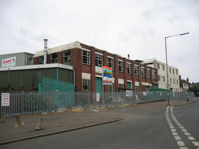
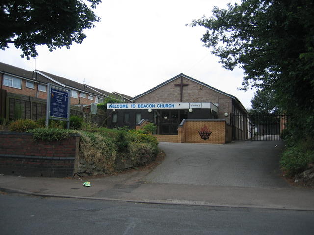
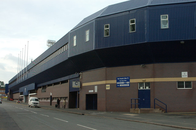
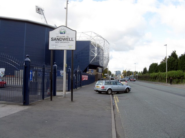
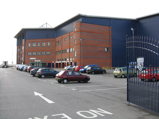
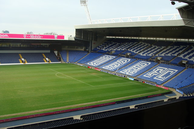
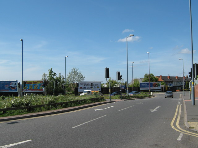
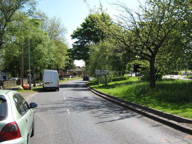
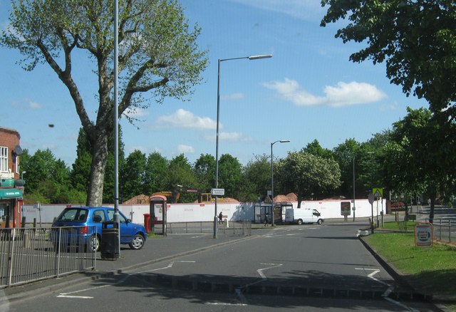
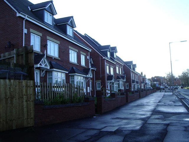
Black Patch Images
Images are sourced within 2km of 52.496599/-1.9457217 or Grid Reference SP0388. Thanks to Geograph Open Source API. All images are credited.
Black Patch is located at Grid Ref: SP0388 (Lat: 52.496599, Lng: -1.9457217)
Unitary Authority: Sandwell
Police Authority: West Midlands
What 3 Words
///shades.navy.acid. Near Smethwick, West Midlands
Nearby Locations
Related Wikis

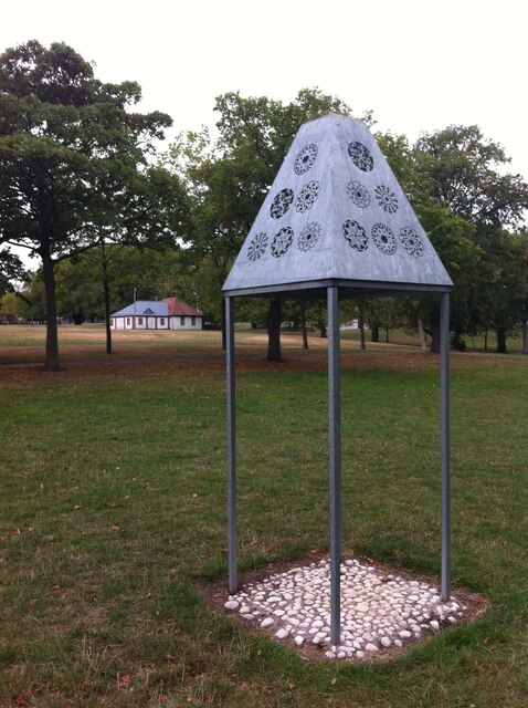
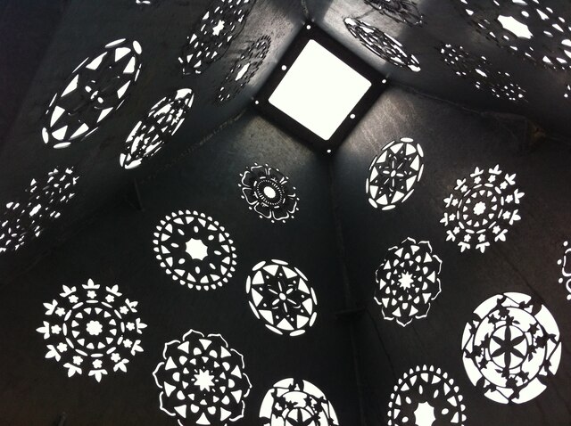
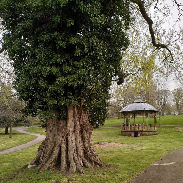
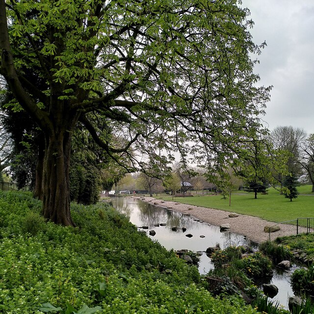
Black Patch Park
Black Patch Park is a park in Smethwick, West Midlands, England. It is bounded by Foundry Lane, Woodburn Road, Perrott Street and Kitchener Street, at...

Soho Foundry
Soho Foundry is a factory created in 1775 by Matthew Boulton and James Watt and their sons Matthew Robinson Boulton and James Watt Jr. at Smethwick, West...
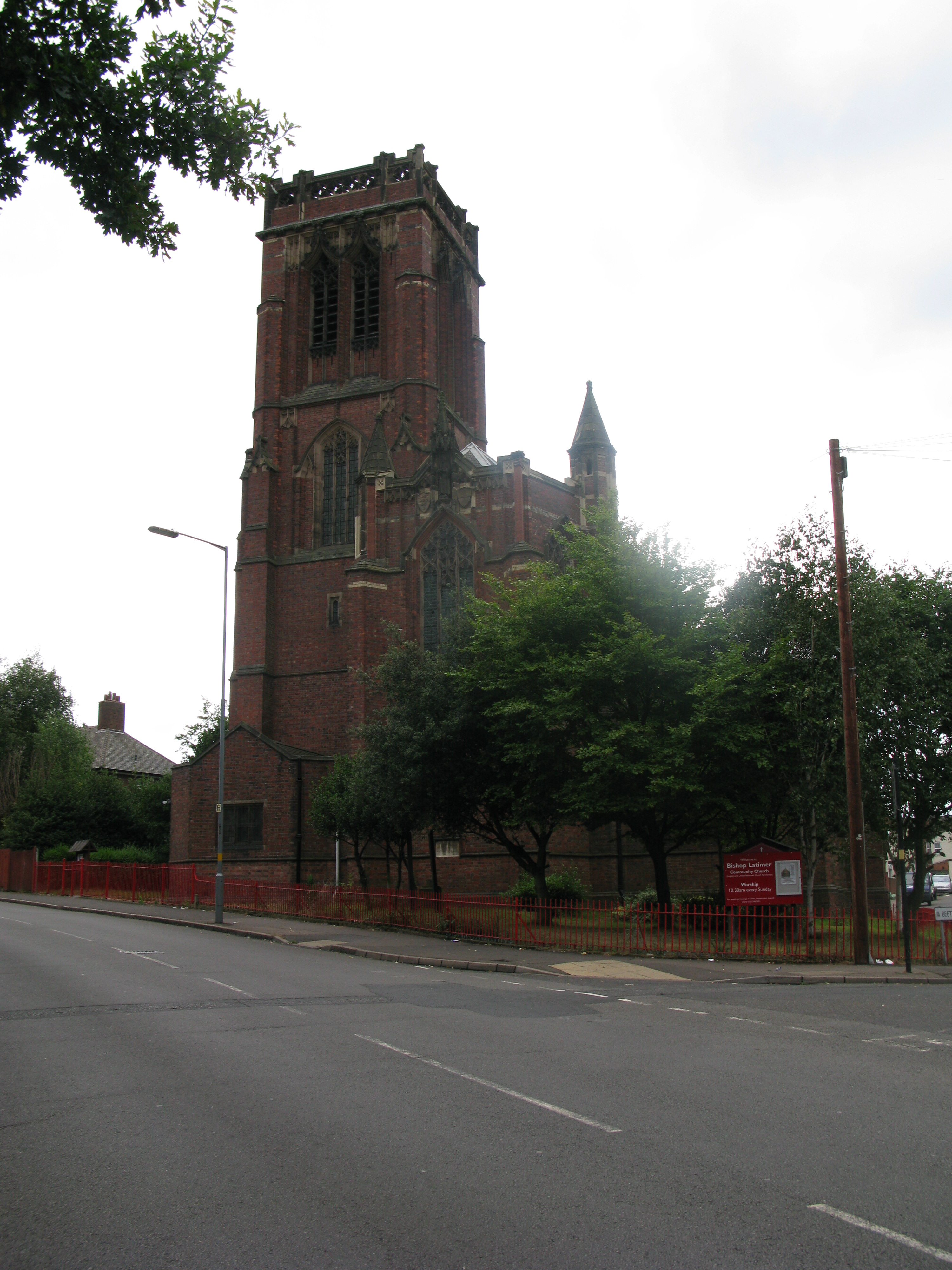
Bishop Latimer Memorial Church, Winson Green
Bishop Latimer Memorial Church, Winson Green is a Grade II* listed parish church in the Church of England in Winson Green, Birmingham. == History == The...
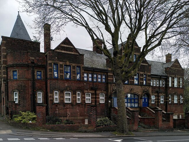
Winson Green
Winson Green is a loosely defined inner-city area in the west of the city of Birmingham, England. It is part of the ward of Soho.It is the location of...
Related Videos

Biggest library in Europe📚 POV walking and Rooftop city tour
00:00 - Intro 01:05 - POV walking 04:35 - Inside the library 06:55 - Rooftop 08:18 - Things to do (huge map)

Walking Around Brindley Place In Birmingham - June 2022
Walking around Brindley Place in Birmingham. A nice relaxing walk through. If you like these vlogs, please support the channel by ...

Depeche Mode Live - Walking in my shoes 24/01/2024 - Birmingham
Depeche Mode Live 24/01/2024 Birmingham UK Walking my shoes.

WALKING TOUR OF BRINDLEY PLACE | CANAL SIDE | CENTENARY SQUARE | VICTORIA SQUARE | COLMORE ROW 2022
Taking in the beautiful views from Birmingham City Centre, I passed briefly by Grand Central station, through the Mailbox filled ...
Nearby Amenities
Located within 500m of 52.496599,-1.9457217Have you been to Black Patch?
Leave your review of Black Patch below (or comments, questions and feedback).