Merry Hill
Settlement in Staffordshire
England
Merry Hill
Merry Hill is a small village located in the county of Staffordshire, England. Situated in the southern part of the county, it lies approximately 6 miles west of Wolverhampton and 12 miles north of Dudley. The village is nestled in a scenic countryside setting, surrounded by fields and rolling hills.
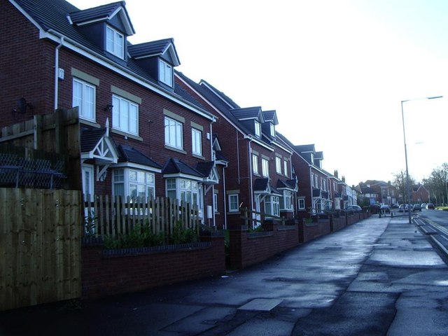
Merry Hill is known for its quaint and traditional charm, with many of its buildings dating back several centuries. The village is predominantly residential, with a tight-knit community that takes pride in maintaining the area's character and heritage. The architecture is a mix of classic English styles, featuring timber-framed houses and thatched cottages.
The village boasts a number of amenities to cater to its residents' needs. These include a local pub, a village hall, and a primary school, providing a convenient and close-knit community for families. The surrounding countryside offers various opportunities for outdoor activities such as hiking, cycling, and horse riding.
Despite its rural location, Merry Hill benefits from good transportation links. The nearby A449 road connects the village to larger towns and cities, while the Wolverhampton train station provides access to regional and national rail networks.
Overall, Merry Hill offers a peaceful and idyllic lifestyle for its residents, with a strong sense of community and a beautiful natural environment. It is a place where traditional values and modern conveniences blend harmoniously, making it an attractive destination for those seeking a tranquil rural retreat.
If you have any feedback on the listing, please let us know in the comments section below.
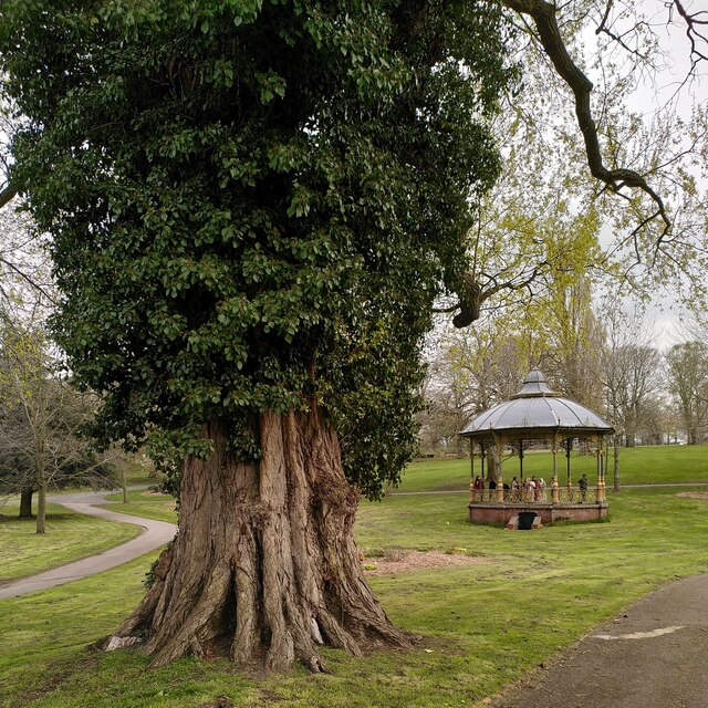
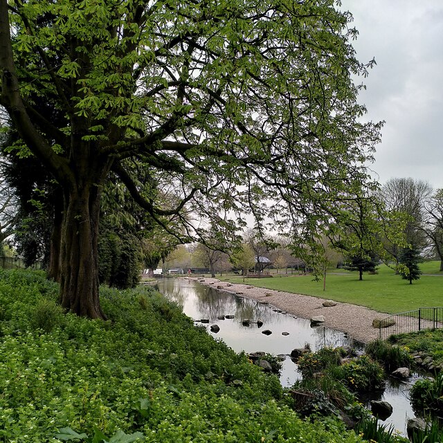
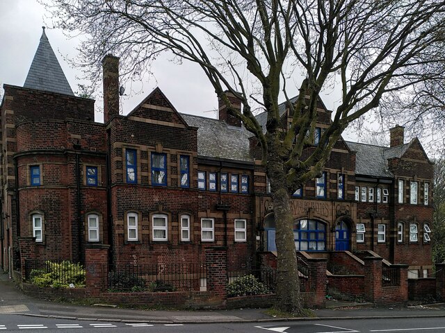
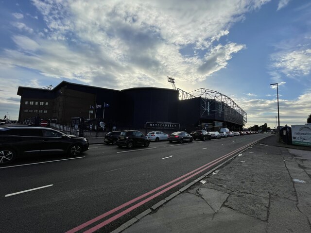
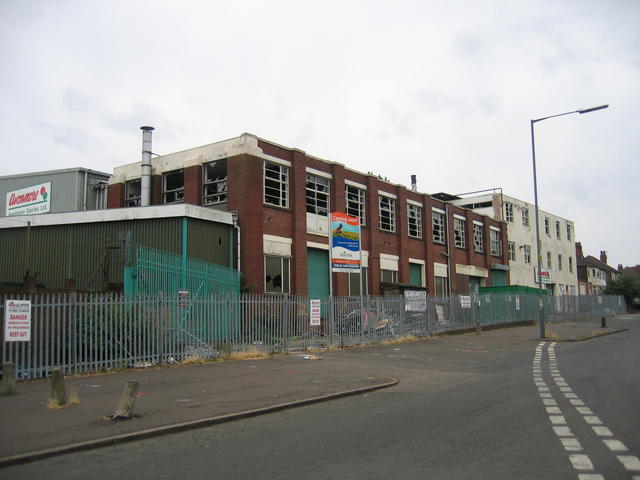
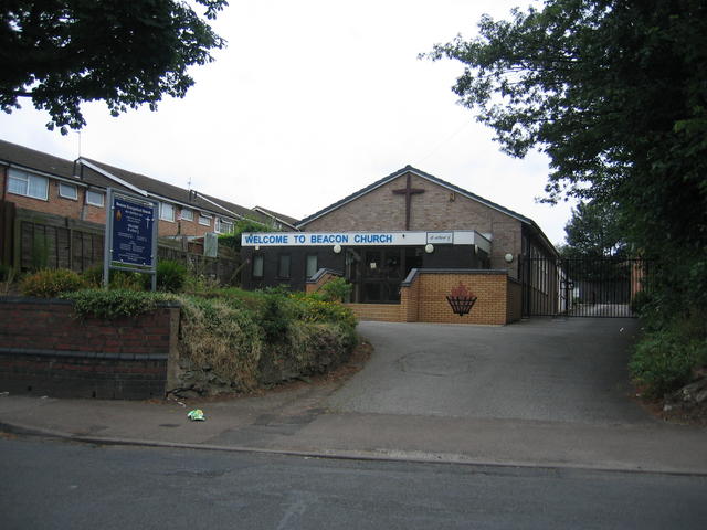
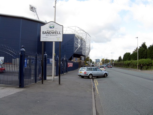
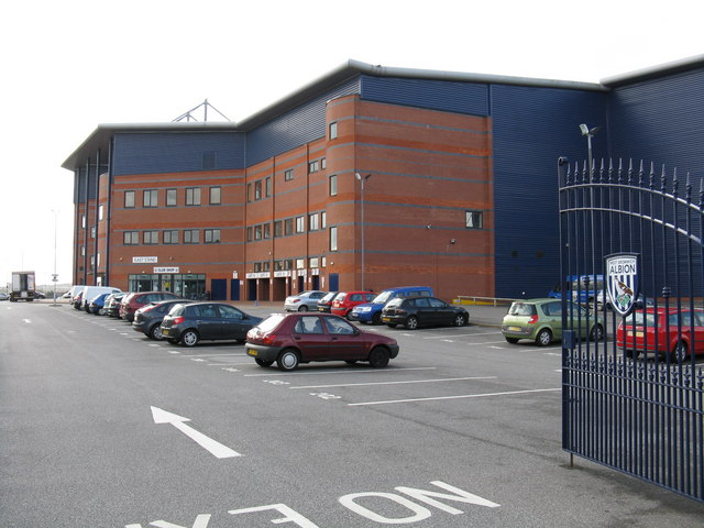
Merry Hill Images
Images are sourced within 2km of 52.49605/-1.9444704 or Grid Reference SP0388. Thanks to Geograph Open Source API. All images are credited.

Merry Hill is located at Grid Ref: SP0388 (Lat: 52.49605, Lng: -1.9444704)
Unitary Authority: Sandwell
Police Authority: West Midlands
What 3 Words
///ground.traps.public. Near Smethwick, West Midlands
Nearby Locations
Related Wikis

Black Patch Park
Black Patch Park is a park in Smethwick, West Midlands, England. It is bounded by Foundry Lane, Woodburn Road, Perrott Street and Kitchener Street, at...

Soho Foundry
Soho Foundry is a factory created in 1775 by Matthew Boulton and James Watt and their sons Matthew Robinson Boulton and James Watt Jr. at Smethwick, West...
Winson Green
Winson Green is a loosely defined inner-city area in the west of the city of Birmingham, England. It is part of the ward of Soho.It is the location of...
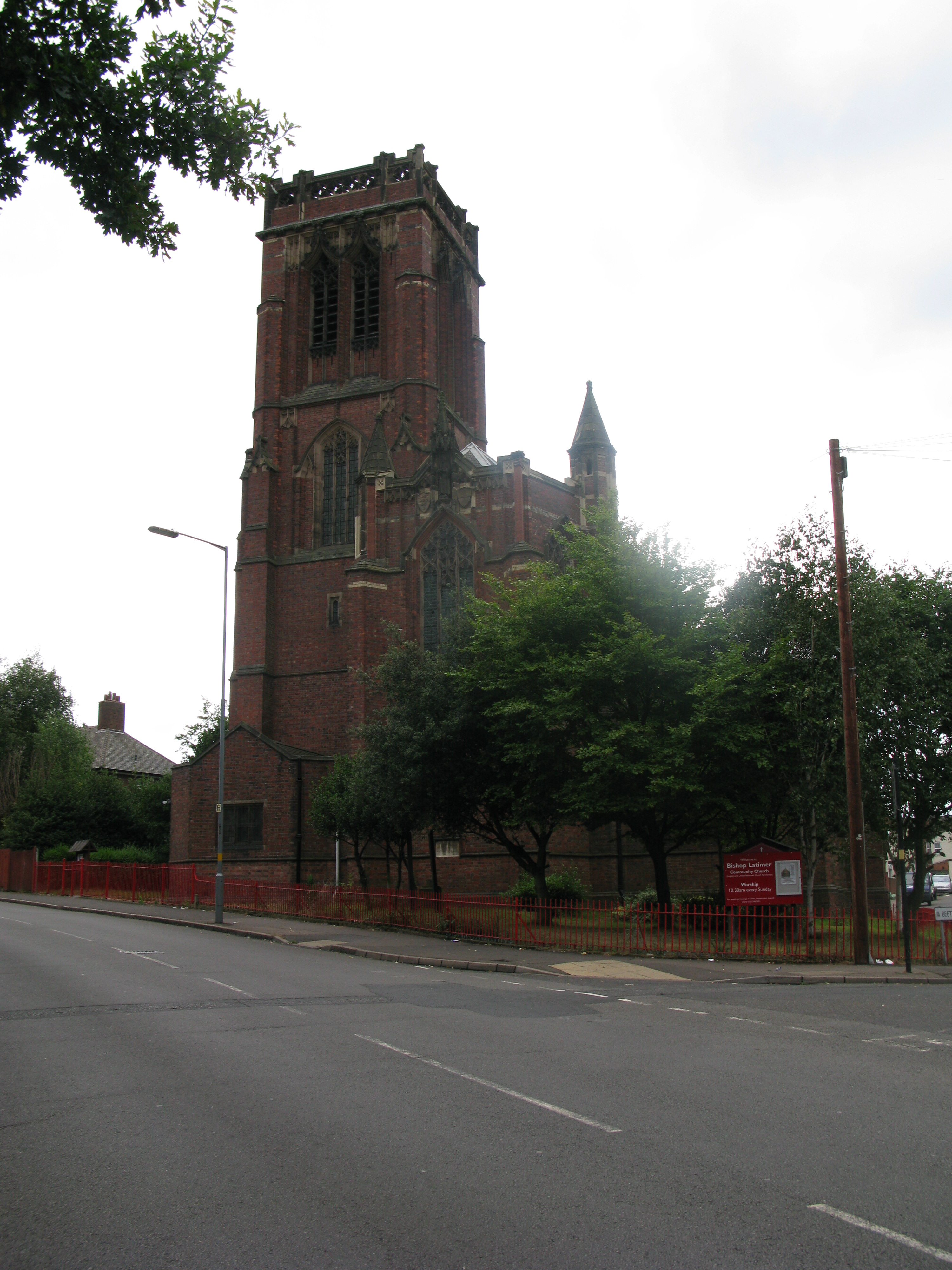
Bishop Latimer Memorial Church, Winson Green
Bishop Latimer Memorial Church, Winson Green is a Grade II* listed parish church in the Church of England in Winson Green, Birmingham. == History == The...
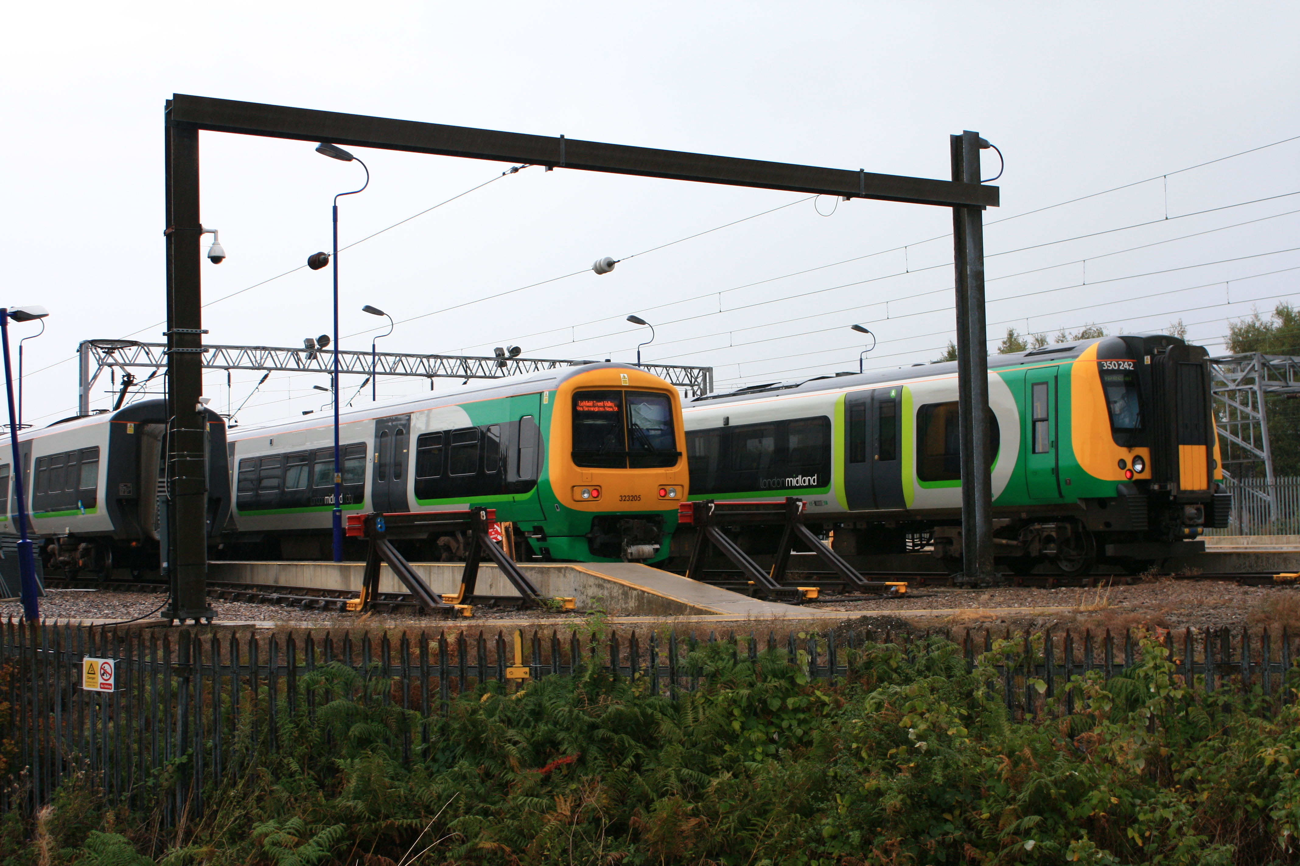
Soho TMD
Soho TMD is a railway traction maintenance depot situated in Smethwick, West Midlands, England. It is located in Smethwick's industrial area of Soho on...
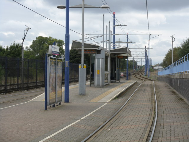
Winson Green Outer Circle tram stop
Winson Green Outer Circle tram stop is a tram stop in Winson Green, Birmingham England. It was opened on 31 May 1999 and is situated on West Midlands Metro...
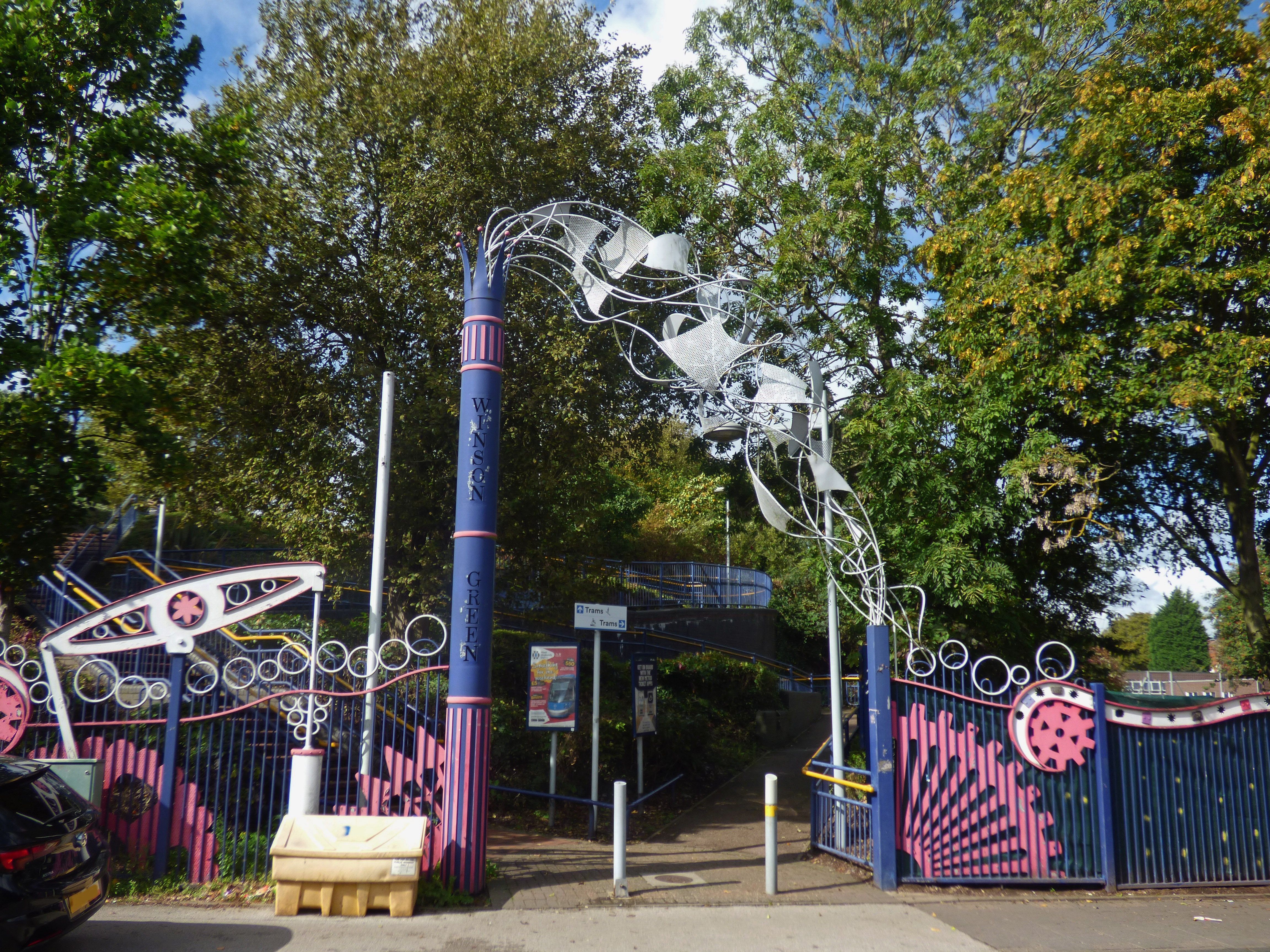
James Watt's Mad Machine
James Watt's Mad Machine is a set of sculptural railings and gates at Winson Green Metro station, Winson Green, Birmingham, England, designed by Tim Tolkien...

HM Prison Birmingham
HM Prison Birmingham is a Category B men's prison in the Winson Green area of Birmingham, England, operated by HM Prison and Probation Service. == History... ==
Nearby Amenities
Located within 500m of 52.49605,-1.9444704Have you been to Merry Hill?
Leave your review of Merry Hill below (or comments, questions and feedback).