Soho
Settlement in Staffordshire
England
Soho
Soho is a small village located in the county of Staffordshire, England. Situated approximately 5 miles north-west of the city of Birmingham, it falls within the metropolitan borough of Sandwell. Soho is part of the larger urban area known as the Black Country, renowned for its industrial heritage.
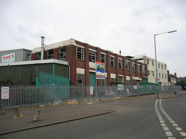
Historically, Soho was a significant industrial hub during the 18th and 19th centuries. It was home to many ironworks, foundries, and engineering works that played a vital role in the Industrial Revolution. This industrial legacy heavily influenced the village's development and shaped its identity.
Today, Soho retains some of its industrial character, with several heritage buildings and remnants of its industrial past still visible. However, the village has undergone significant changes and now offers a mix of residential and commercial spaces.
Soho benefits from its proximity to Birmingham, making it an attractive residential area for commuters working in the city. The village offers a range of amenities, including shops, schools, and leisure facilities. Additionally, its location provides easy access to the nearby M5 and M6 motorways, enhancing its connectivity to other areas.
Despite its industrial history, Soho also boasts natural beauty, with nearby parks and green spaces providing opportunities for outdoor activities and recreation. The village has a strong sense of community, with various local events and initiatives bringing residents together.
In summary, Soho is a small village in Staffordshire that combines its industrial heritage with modern residential and commercial developments. With its convenient location and community spirit, Soho offers a charming place to live and explore.
If you have any feedback on the listing, please let us know in the comments section below.
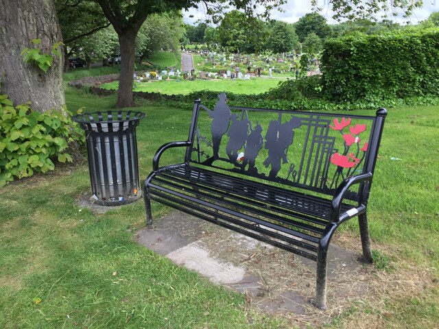
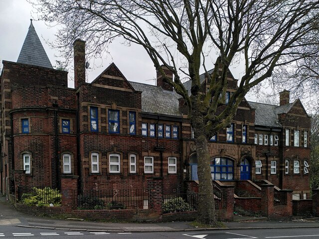
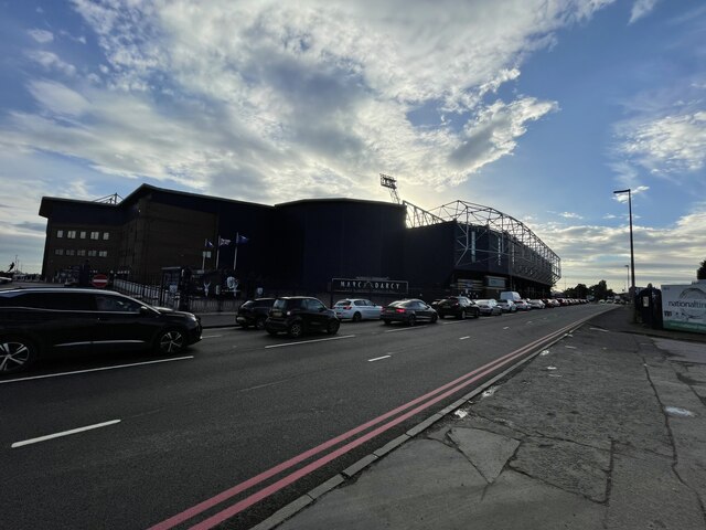
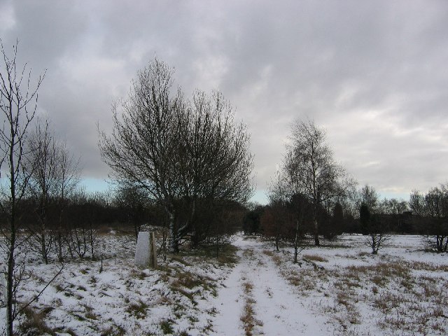
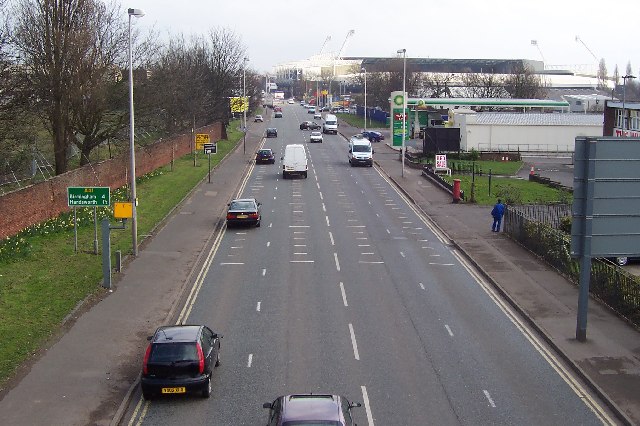
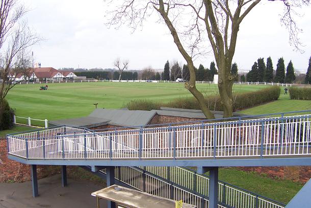
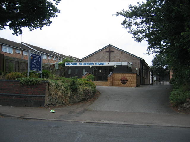
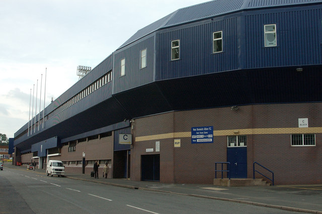
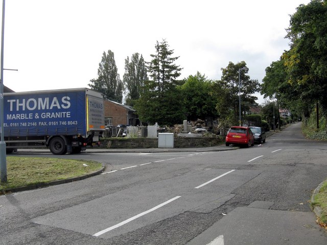
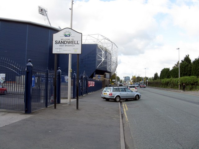
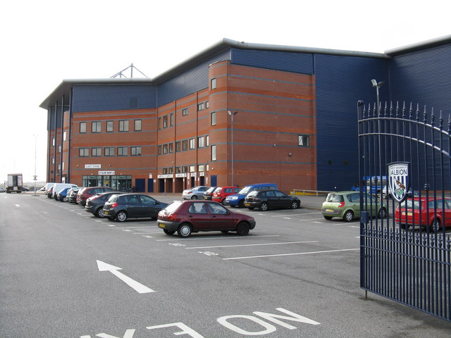
Soho Images
Images are sourced within 2km of 52.498326/-1.95283 or Grid Reference SP0388. Thanks to Geograph Open Source API. All images are credited.


Soho is located at Grid Ref: SP0388 (Lat: 52.498326, Lng: -1.95283)
Unitary Authority: Sandwell
Police Authority: West Midlands
What 3 Words
///expose.sheet.atom. Near Smethwick, West Midlands
Nearby Locations
Related Wikis

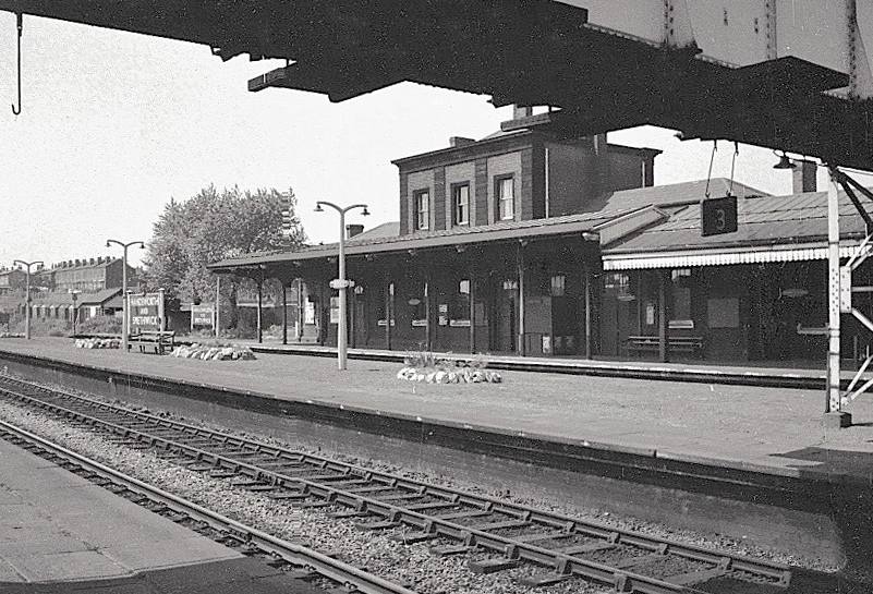
Soho railway station
Soho railway station was a railway station in England, built by the London and North Western Railway on their Stour Valley Line in 1853. It served Soho...

Soho Foundry
Soho Foundry is a factory created in 1775 by Matthew Boulton and James Watt and their sons Matthew Robinson Boulton and James Watt Jr. at Smethwick, West...
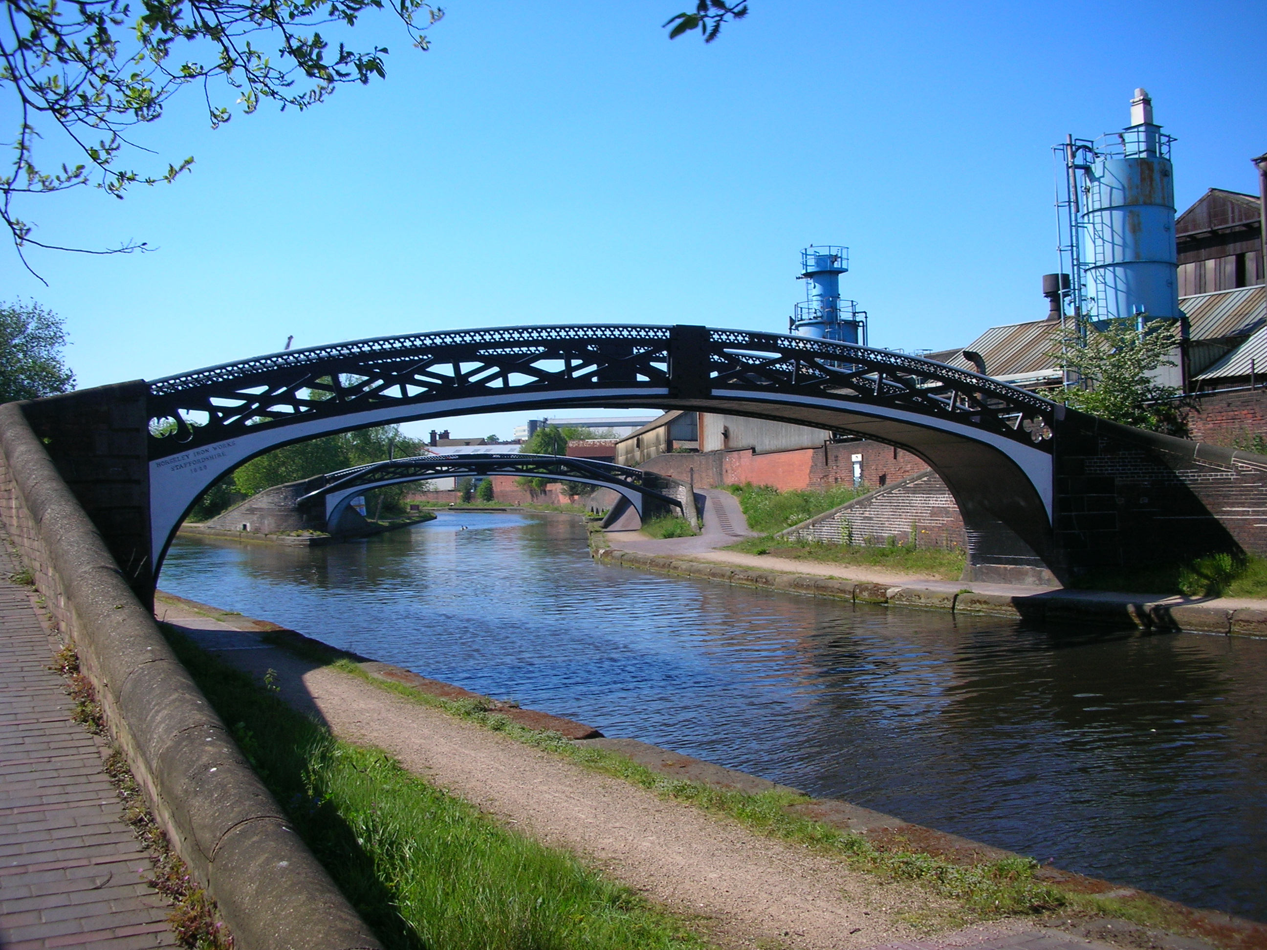
Smethwick Junction (canal)
Smethwick Junction (grid reference SP028890) is the name of the canal junctions where the Birmingham Canal Navigations Main Line Canal from Birmingham...

Handsworth Booth Street tram stop
Handsworth Booth Street tram stop is a tram stop in Handsworth, Birmingham, England. It was opened on 31 May 1999 and is situated on West Midlands Metro...
Handsworth and Smethwick railway station
Handsworth & Smethwick was an intermediate station on the Great Western Railway's London Paddington to Birkenhead via Birmingham Snow Hill line. It was...

Black Patch Park
Black Patch Park is a park in Smethwick, West Midlands, England. It is bounded by Foundry Lane, Woodburn Road, Perrott Street and Kitchener Street, at...

St James' Church, Handsworth
St James' Church in Handsworth, Birmingham, England was erected as an Anglican church in 1838–1840 (Handsworth was at that time in the county of Staffordshire...

Midland Metropolitan University Hospital
Midland Metropolitan University Hospital is a new acute general hospital being built on a 16 acres (6.5 hectares) site in Grove Lane at Smethwick near...
Nearby Amenities
Located within 500m of 52.498326,-1.95283Have you been to Soho?
Leave your review of Soho below (or comments, questions and feedback).