Black Rock
Settlement in Monmouthshire
Wales
Black Rock
Black Rock is a small village located in the county of Monmouthshire, Wales. Situated approximately 5 miles southeast of the town of Chepstow, this rural settlement provides a picturesque environment surrounded by rolling hills and lush countryside.
The village is primarily known for its historical significance, as it was once a bustling mining community during the 19th and early 20th centuries. The area's coal resources attracted numerous workers, leading to the development of collieries and a thriving local economy. However, the decline of the coal industry eventually led to the closure of the mines, resulting in a shift towards agriculture as the primary economic activity.
Despite its small size, Black Rock offers several amenities to its residents and visitors. These include a village hall, which serves as a community gathering space for various events and functions. The village also boasts a local pub, providing a place for socializing and enjoying traditional Welsh hospitality.
For nature enthusiasts, the surrounding area offers numerous opportunities for outdoor activities. The nearby Wye Valley, designated as an Area of Outstanding Natural Beauty, provides stunning views and is popular for hiking, cycling, and exploring the diverse wildlife. Additionally, the village is within close proximity to the renowned Offa's Dyke Path, a long-distance footpath that follows the ancient earthwork separating England and Wales.
Overall, Black Rock presents a charming rural retreat with a rich history and natural beauty, making it an attractive destination for those seeking a tranquil escape in Monmouthshire.
If you have any feedback on the listing, please let us know in the comments section below.
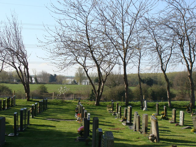
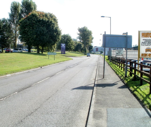
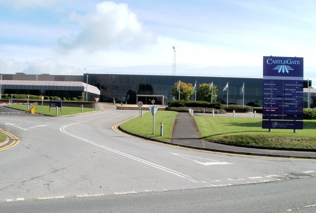
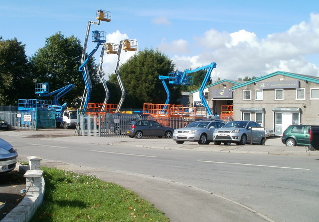
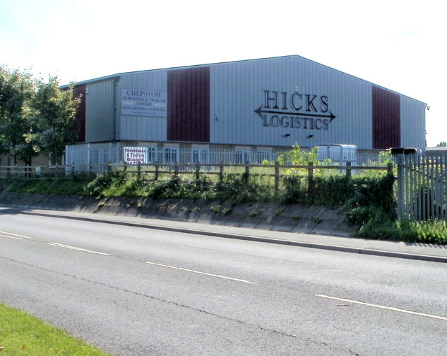
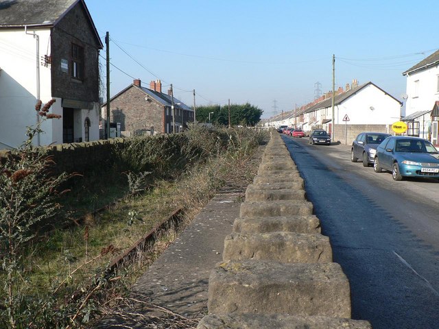
Black Rock Images
Images are sourced within 2km of 51.591661/-2.709919 or Grid Reference ST5088. Thanks to Geograph Open Source API. All images are credited.

Black Rock is located at Grid Ref: ST5088 (Lat: 51.591661, Lng: -2.709919)
Unitary Authority: Monmouthshire
Police Authority: Gwent
What 3 Words
///obstruct.winning.sunroof. Near Caldicot, Monmouthshire
Nearby Locations
Related Wikis

Portskewett railway station
Portskewett railway station is a former station serving Portskewett, Wales, four miles south west of Chepstow and one mile east of Caldicot. It was opened...

Portskewett Pier railway station
Portskewett Pier was a station on the Bristol & South Wales Union Railway. The pier at Black Rock, near Portskewett, was the Welsh side of the New Passage...

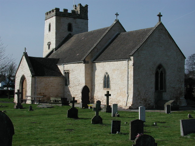
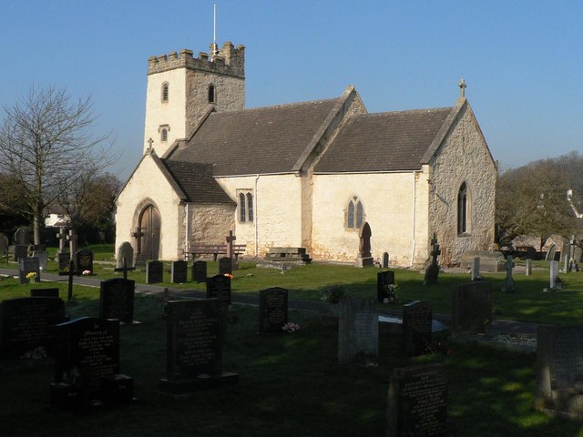
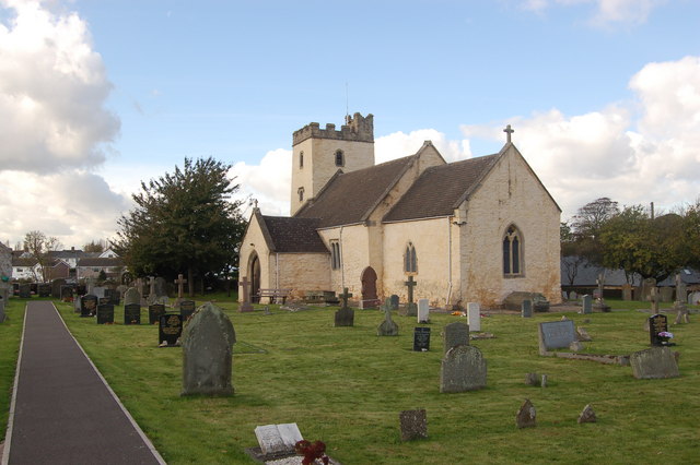
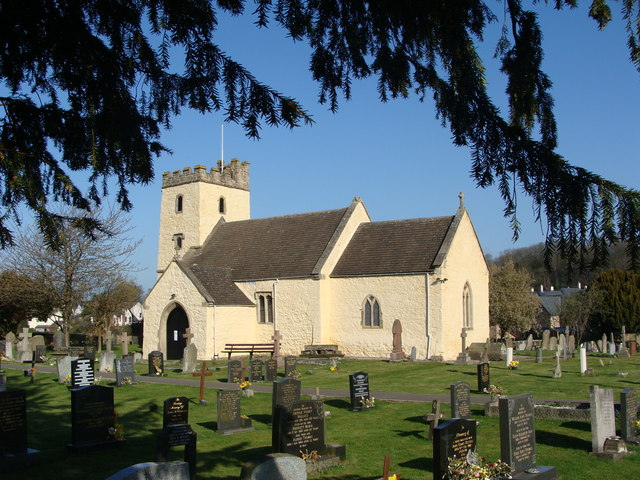
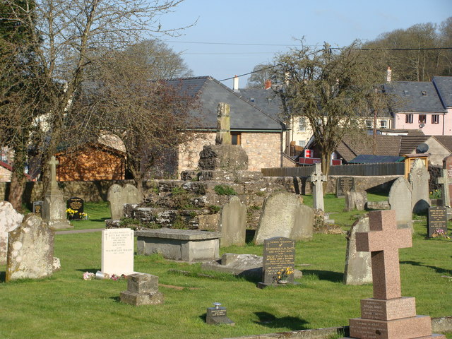
St Mary's Church, Portskewett
St Mary's is located in the centre of the village of Portskewett, Monmouthshire. It is a Grade I listed building as of 19 August 1955. == History and... ==

Severn Tunnel rail accident
On 7 December 1991, two trains collided inside the Severn Tunnel, between England and Wales. There were no fatalities but 185 passengers were injured....
Portskewett
Portskewett (Welsh: Porthsgiwed or Porthysgewin) is a village and community (parish) in Monmouthshire, south east Wales. It is located four miles south...

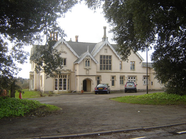
Manor Farmhouse and Manor Cottage, Portskewett
Manor Farmhouse and Manor Cottage, Portskewett, Monmouthshire is a country house dating from early 17th century. The house is a Grade II* listed building...
Sudbrook, Monmouthshire
Sudbrook is a village in Monmouthshire, south east Wales. It is located 4 miles south west of Chepstow and 1 mile east of Caldicot. It lies close to the...

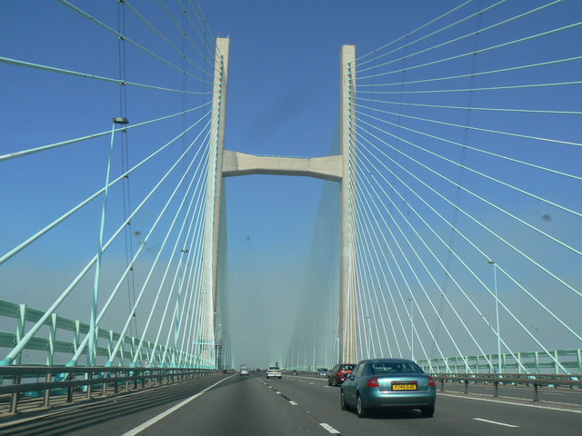
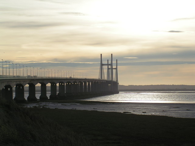
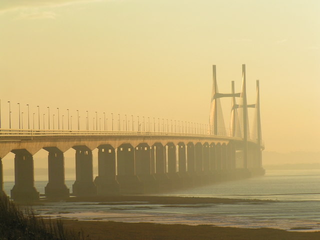
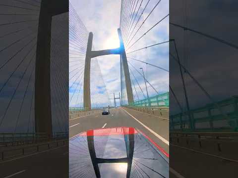
Second Severn Crossing
The Second Severn Crossing (Welsh: Ail Groesfan Hafren), officially named the Prince of Wales Bridge (Welsh: Pont Tywysog Cymru) since July 2018, is the...
Related Videos


Walking Around The Prince of Wales Bridge - Quik Storys #3
A video automatically generated by the Go Pro Quik app using some of the images I took on of my Walk Around The Prince of ...
Nearby Amenities
Located within 500m of 51.591661,-2.709919Have you been to Black Rock?
Leave your review of Black Rock below (or comments, questions and feedback).