Arrowthwaite

Settlement in Cumberland Copeland

England

Arrowthwaite

B5345 Low Road at Cemetery Lodge
B5345 Low Road at Cemetery Lodge Credit: Colin Pyle

Arrowthwaite is a small village located in the county of Cumberland, England. Situated in the Lake District National Park, it is nestled amidst the picturesque scenery of rolling green hills, tranquil lakes, and dense woodlands. The village has a population of around 200 residents, creating a close-knit and friendly community.

Arrowthwaite is renowned for its natural beauty and is a popular destination for outdoor enthusiasts and nature lovers. The village acts as a gateway to some of the most stunning landscapes in the Lake District, with numerous walking trails and hiking routes starting from here. Scales Tarn, a serene mountain lake, is a notable attraction within close proximity to Arrowthwaite.

The village itself is characterized by its traditional stone houses and quaint, narrow streets. There is a small but charming village church, St. John's, which dates back to the 12th century and is a testament to the area's rich history. Arrowthwaite also has a cozy village pub, where locals and visitors alike gather to enjoy a pint and hearty pub fare.

While primarily a residential area, Arrowthwaite does offer a few amenities to cater to its residents and visitors. These include a primary school, a village hall that hosts community events, and a small convenience store. For larger shopping needs, the nearby town of Keswick is only a short drive away.

Overall, Arrowthwaite is a tranquil and idyllic village that offers a peaceful retreat from the hustle and bustle of city life. Its stunning natural surroundings and warm community make it a delightful place to visit or call home.

If you have any feedback on the listing, please let us know in the comments section below.
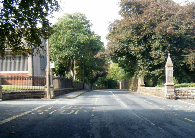
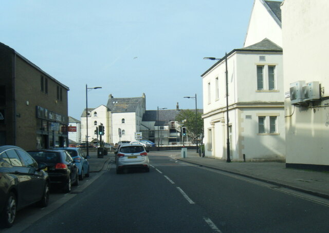
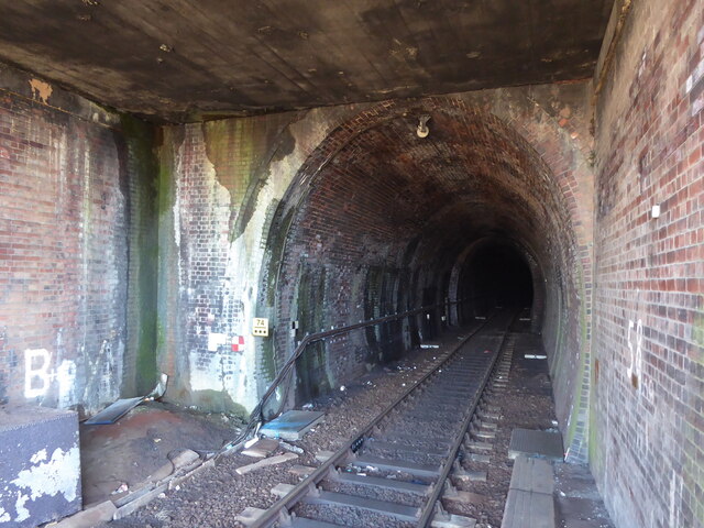
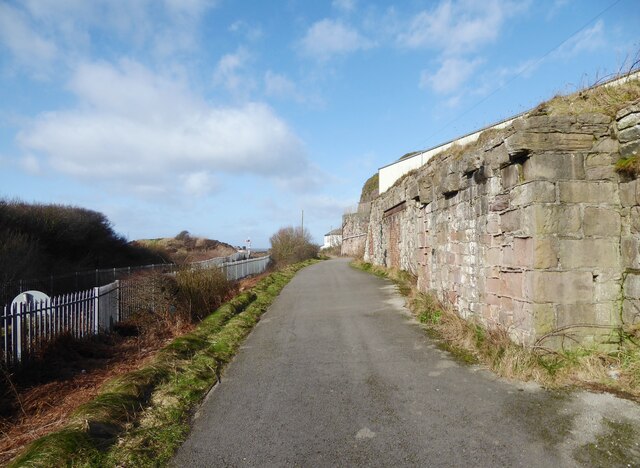
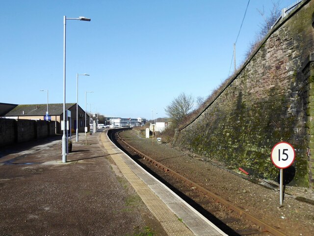
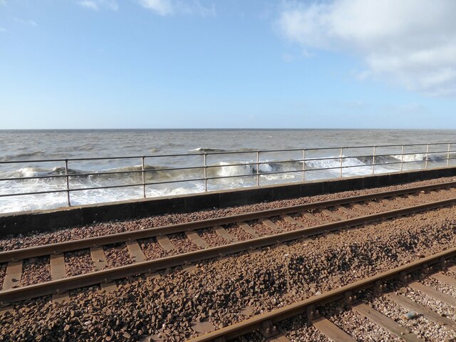
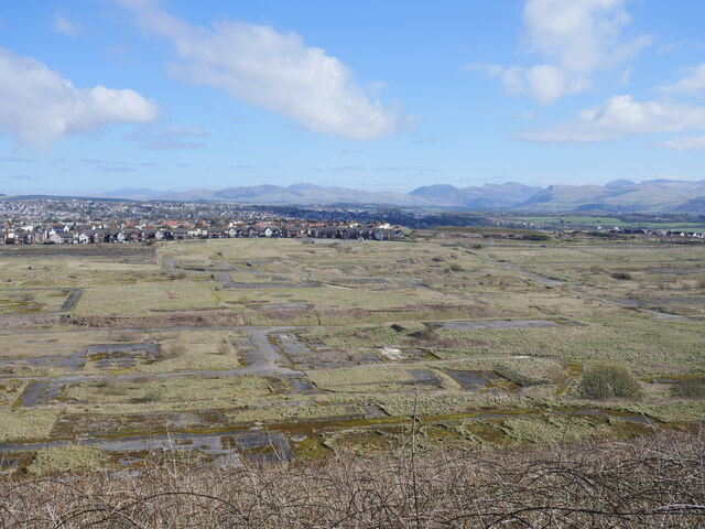
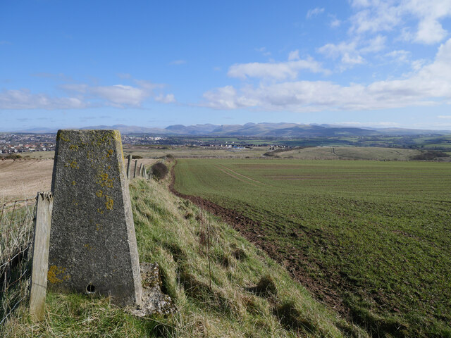
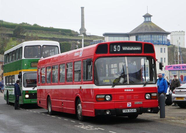
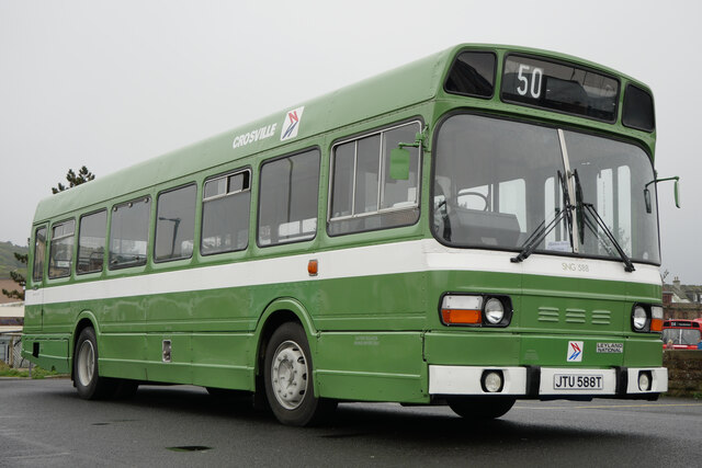
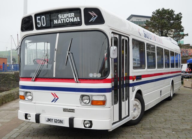
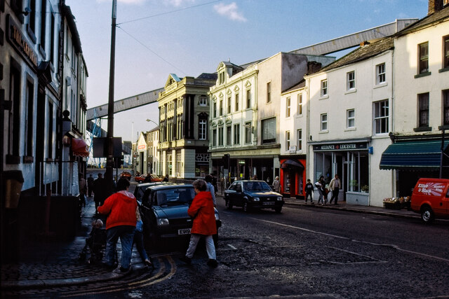
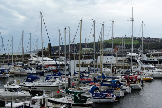
Arrowthwaite Images

Images are sourced within 2km of 54.542085/-3.5949795 or Grid Reference NX9617. Thanks to Geograph Open Source API. All images are credited.

B5345 Low Road at Cemetery Lodge
Swingpump Lane, Whitehaven
Whitehaven Tunnel The north entrance of Whitehaven Tunnel; the end of the platform ramp of Platform 2 of Whitehaven Station (photograph <a href="https://www.geograph.org.uk/photo/7109238">NX9718 : Platform 2, Whitehaven Station</a>) is visible in the right foreground (see also photographs <a href="https://www.geograph.org.uk/photo/2322384">NX9718 : Whitehaven Tunnel</a> and <a href="https://www.geograph.org.uk/photo/6862853">NX9718 : Air Shaft No.5, Whitehaven Tunnel</a>).
The small antenna visible at the crown of the brick arch is to permit two way communication with trains in the tunnel.
The England Coast Path and National Cycle Route 72 pass over the flat roofed section of the tunnel in the foreground.
Whitehaven Tunnel
The north entrance of Whitehaven Tunnel; the end of the platform ramp of Platform 2 of Whitehaven Station (photograph NX9718 : Platform 2, Whitehaven Station) is visible in the right foreground (see also photographs NX9718 : Whitehaven Tunnel and NX9718 : Air Shaft No.5, Whitehaven Tunnel). The small antenna visible at the crown of the brick arch is to permit two way communication with trains in the tunnel. The England Coast Path and National Cycle Route 72 pass over the flat roofed section of the tunnel in the foreground.
England Coast Path At this point the England Coast Path follows a minor road that runs along land previously occupied by railway tracks serving William Pit.  The substantial stone abutment supported a bridge over the Cumbrian Coast Line (originally the Whitehaven Junction Railway) which carried a tubway and a standard gauge railway track leading from William Pit to a spoil heap on the sea shore.
The Cumbrian Coast Line runs between the metal palisade fences.
England Coast Path
At this point the England Coast Path follows a minor road that runs along land previously occupied by railway tracks serving William Pit. The substantial stone abutment supported a bridge over the Cumbrian Coast Line (originally the Whitehaven Junction Railway) which carried a tubway and a standard gauge railway track leading from William Pit to a spoil heap on the sea shore. The Cumbrian Coast Line runs between the metal palisade fences.
Platform 2, Whitehaven Station Platform 2 at Whitehaven Station, formerly known as Whitehaven Bransty Station to distinguish it from Whitehaven Corkickle Station at the other end of Whitehaven Tunnel, the entrance of which is directly behind the photographer (see <a href="https://www.geograph.org.uk/photo/7102076">NX9718 : Whitehaven Tunnel</a>). 
The 15 sign denotes a speed restriction of 15 miles per hour for down (northbound) trains through the sharply curved station platform.
Platform 2, Whitehaven Station
Platform 2 at Whitehaven Station, formerly known as Whitehaven Bransty Station to distinguish it from Whitehaven Corkickle Station at the other end of Whitehaven Tunnel, the entrance of which is directly behind the photographer (see NX9718 : Whitehaven Tunnel). The 15 sign denotes a speed restriction of 15 miles per hour for down (northbound) trains through the sharply curved station platform.
Railway and sea, Redness Point The Cumbrian Coast Line runs close to the sea north of Whitehaven at Redness Point.
Railway and sea, Redness Point
The Cumbrian Coast Line runs close to the sea north of Whitehaven at Redness Point.
The site of the former Whitehaven chemical works The site of the former Marchon, latterly Huntsman chemical works on the outskirts of Whitehaven.  The works was operational from 1943 to 2005 with the site finally being cleared about a decade ago.

This photograph was taken during the Coronavirus (COVID-19) pandemic of 2020/21/22.
The site of the former Whitehaven chemical works
The site of the former Marchon, latterly Huntsman chemical works on the outskirts of Whitehaven. The works was operational from 1943 to 2005 with the site finally being cleared about a decade ago. This photograph was taken during the Coronavirus (COVID-19) pandemic of 2020/21/22.
Barrowmouth Wood triangulation pillar A fine view from this spot, 130 metres above sea level.  In this view, the former Whitehaven chemical works site and the distant Lake District fells can be noted.

This photograph was taken during the Coronavirus (COVID-19) pandemic of 2020/21/22.
Barrowmouth Wood triangulation pillar
A fine view from this spot, 130 metres above sea level. In this view, the former Whitehaven chemical works site and the distant Lake District fells can be noted. This photograph was taken during the Coronavirus (COVID-19) pandemic of 2020/21/22.
Leyland Olympian on Strand Street, Whitehaven An Olympian in Northumbria livery and a familiar sight on the coast on the other side of the country in times gone by.

This photograph was taken during the Coronavirus (COVID-19) pandemic of 2020/21/22.
Leyland Olympian on Strand Street, Whitehaven
An Olympian in Northumbria livery and a familiar sight on the coast on the other side of the country in times gone by. This photograph was taken during the Coronavirus (COVID-19) pandemic of 2020/21/22.
Greater Manchester PTE Leyland National at Whitehaven Harbour Dating from 1975 and owned by the SELNEC Preservation Society.

This photograph was taken during the Coronavirus (COVID-19) pandemic of 2020/21/22.
Greater Manchester PTE Leyland National at Whitehaven Harbour
Dating from 1975 and owned by the SELNEC Preservation Society. This photograph was taken during the Coronavirus (COVID-19) pandemic of 2020/21/22.
'Best Bus Around' on West Strand, Whitehaven A Leyland National 2 on West Strand near Whitehaven Harbour resplendent in Strathtay Scottish livery.

This photograph was taken during the Coronavirus (COVID-19) pandemic of 2020/21/22.
'Best Bus Around' on West Strand, Whitehaven
A Leyland National 2 on West Strand near Whitehaven Harbour resplendent in Strathtay Scottish livery. This photograph was taken during the Coronavirus (COVID-19) pandemic of 2020/21/22.
Suburban Express at Whitehaven Harbour Dating from 1973, the Suburban Express diverged away from the standard Leyland National design, with a high flat floor front to rear.  Out of the two demonstrators produced, this is the sole survivor.

This photograph was taken during the Coronavirus (COVID-19) pandemic of 2020/21/22.
Suburban Express at Whitehaven Harbour
Dating from 1973, the Suburban Express diverged away from the standard Leyland National design, with a high flat floor front to rear. Out of the two demonstrators produced, this is the sole survivor. This photograph was taken during the Coronavirus (COVID-19) pandemic of 2020/21/22.
A vintage pair of buses on West Strand, Whitehaven A Leyland National Mk 1 (B) dating from 1979 and pictured here in Ribble livery. 
 This vehicle was running timetabled trips to the former Leyland National factory at Lillyhall - rather nippy on the gradients heading up through Whitehaven and Distington!  A Volvo Olympian in Cleveland Transit livery can be noted to the rear.

This photograph was taken during the Coronavirus (COVID-19) pandemic of 2020/21/22.
A vintage pair of buses on West Strand, Whitehaven
A Leyland National Mk 1 (B) dating from 1979 and pictured here in Ribble livery. This vehicle was running timetabled trips to the former Leyland National factory at Lillyhall - rather nippy on the gradients heading up through Whitehaven and Distington! A Volvo Olympian in Cleveland Transit livery can be noted to the rear. This photograph was taken during the Coronavirus (COVID-19) pandemic of 2020/21/22.
Leyland National Mk 1 (B) by Whitehaven Harbour Parked up by the harbour, I travelled on this vehicle the previous day for a tour to the former Leyland National factory at Lillyhall.

This photograph was taken during the Coronavirus (COVID-19) pandemic of 2020/21/22.
Leyland National Mk 1 (B) by Whitehaven Harbour
Parked up by the harbour, I travelled on this vehicle the previous day for a tour to the former Leyland National factory at Lillyhall. This photograph was taken during the Coronavirus (COVID-19) pandemic of 2020/21/22.
Leyland National 'Super National' Entering service in 1975, this was one of two Super Nationals booked for the Leyland National 50 event.  The executive interior of the vehicle included a toilet compartment, cloakroom, servery, aircraft style seats with selectable audio, TV and video, radio telephone, on board mains generator and a Webasto heater.  The vehicle was used on corporate hire work in Britain as well as mainland Europe, with famous passengers including Dolly Parton and Fleetwood Mac.

This photograph was taken during the Coronavirus (COVID-19) pandemic of 2020/21/22.
Leyland National 'Super National'
Entering service in 1975, this was one of two Super Nationals booked for the Leyland National 50 event. The executive interior of the vehicle included a toilet compartment, cloakroom, servery, aircraft style seats with selectable audio, TV and video, radio telephone, on board mains generator and a Webasto heater. The vehicle was used on corporate hire work in Britain as well as mainland Europe, with famous passengers including Dolly Parton and Fleetwood Mac. This photograph was taken during the Coronavirus (COVID-19) pandemic of 2020/21/22.
Suburban Express display A close up of the restoration display in the Leyland National Suburban Express at Whitehaven Harbourside.

This photograph was taken during the Coronavirus (COVID-19) pandemic of 2020/21/22.
Suburban Express display
A close up of the restoration display in the Leyland National Suburban Express at Whitehaven Harbourside. This photograph was taken during the Coronavirus (COVID-19) pandemic of 2020/21/22.
Duke Street, Whitehaven An 1980s photo showing the coal conveyor(?) to the harbour looming over the town.
Duke Street, Whitehaven
An 1980s photo showing the coal conveyor(?) to the harbour looming over the town.
The Marina View from West Strand
The Marina
View from West Strand
Show me another place!

Arrowthwaite is located at Grid Ref: NX9617 (Lat: 54.542085, Lng: -3.5949795)

Administrative County: Cumbria

District: Copeland

Police Authority: Cumbria

What 3 Words

///zealous.pops.awake. Near Whitehaven, Cumbria

Related Wikis

Haig Colliery

Haig Colliery was a coal mine in Whitehaven, Cumbria, in north-west England. The mine was in operation for almost 70 years and produced anthracitic coal...

Haig Colliery Mining Museum

Haig Colliery Mining Museum was a visitor attraction in Kells, on the site of Cumbria's last deep coal mine on the cliffs above Whitehaven in Cumbria,...

Kells, Whitehaven

Kells is an area of Whitehaven in Cumbria, England, elevated on a cliff to the south of the town centre, overlooking the Irish sea. The population of this...

Preston Street railway station

Preston Street railway station (also known as Newtown) was a railway station in Whitehaven, Cumbria, England. Opened in July 1849 the station was the original...

St Begh's Church, Whitehaven

St Begh's Church or St Begh's Priory Church is a Roman Catholic parish church in Whitehaven, Cumbria, England. It was built from 1865 to 1868 and designed...

Recreation Ground (Whitehaven)

The Recreation Ground (known locally as the 'Recre') and for sponsorship reasons the LEL Arena is a rugby league stadium in Whitehaven, Cumbria, England...
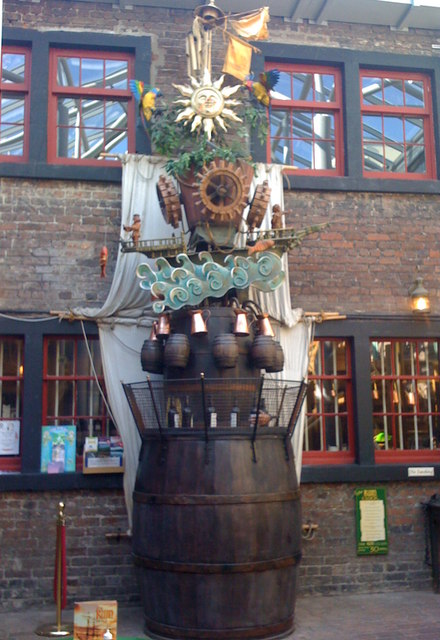
The Rum Story

The Rum Story is a visitor attraction and museum in Whitehaven, Cumbria, England. It presents the story of the rum trade and the creation of rum. It is...

Whitehaven A.F.C.

Whitehaven Amateur Football Club is a football club in Whitehaven, Cumbria. The club are currently members of the West Lancashire League Premier Division...

Nearby Amenities

Located within 500m of 54.542085,-3.5949795
Source: PGS
Lat/Long: 54.5444229/-3.6015783
Source: PGS
Lat/Long: 54.5437433/-3.6019206
Created By: almien_coastlines
Source: PGS
Lat/Long: 54.5432757/-3.6022012
Created By: almien_coastlines
Source: PGS
Lat/Long: 54.542403/-3.6024198
Created By: almien_coastlines
Source: PGS
Lat/Long: 54.5420572/-3.6026075
Mini Roundabout
Direction: clockwise
Lat/Long: 54.5436757/-3.590506
Kells
Created By: Potlatch 0.10f
Is In: Whitehaven, Cumbria, UK
Place: suburb
Lat/Long: 54.5381039/-3.5960262
Bus Stop
Haig Pit Museum
Bus: yes
Local Ref: AT
Naptan AtcoCode: 090050300005
Naptan Bearing: N
Naptan CommonName: Haig Pit Museum
Naptan Indicator: at
Naptan Landmark: entrance road to Haig Colliery
Naptan NaptanCode: cumawgtw
Naptan Street: Solway Road
Naptan Verified: no
Public Transport: platform
Source: naptan_import
Lat/Long: 54.5429017/-3.5958316
Bus Stop
Market Place (South Bound)
Bench: yes
Bin: yes
Bus: yes
Lit: yes
Local Ref: IN
Naptan AtcoCode: 090050300008
Naptan Bearing: S
Naptan CommonName: Market Place (South Bound)
Naptan Indicator: in
Naptan Landmark: Steves Paints
Naptan NaptanCode: cumawgwd
Naptan Street: Newtown
Naptan Verified: no
Public Transport: platform
Shelter: yes
Source: naptan_import
Tactile Paving: no
Lat/Long: 54.5451835/-3.5911435
Bus Stop
Cliff Road
Bus: yes
Local Ref: AT
Naptan AtcoCode: 090050300124
Naptan Bearing: S
Naptan CommonName: Cliff Road
Naptan Indicator: at
Naptan Landmark: junction with High Road
Naptan NaptanCode: cumawjdm
Naptan Street: High Road
Naptan Verified: no
Public Transport: platform
Source: naptan_import
Lat/Long: 54.5383211/-3.5962557
Bus Stop
The Punch Bowl (N bound)
Bench: no
Bin: no
Bus: yes
Lit: yes
Local Ref: AT
Naptan AtcoCode: 090050300137
Naptan Bearing: N
Naptan CommonName: The Punch Bowl (N bound)
Naptan Indicator: at
Naptan Landmark: The Ginns
Naptan NaptanCode: cumawjgw
Naptan Street: Preston Street
Naptan Verified: no
Public Transport: platform
Shelter: no
Source: naptan_import
Tactile Paving: no
Lat/Long: 54.5421637/-3.5897583
Bus Stop
The Punch Bowl (S bound)
Bench: no
Bin: no
Bus: yes
Lit: yes
Naptan AtcoCode: 090050300138
Naptan Bearing: S
Naptan CommonName: The Punch Bowl (S bound)
Naptan Indicator: near
Naptan Landmark: Ginns
Naptan NaptanCode: cumawjma
Naptan Street: Preston Street
Naptan Verified: no
Public Transport: platform
Shelter: no
Source: naptan_import
Tactile Paving: no
Lat/Long: 54.5417909/-3.5894037
Bus Stop
Saltom Road
Bus: yes
Local Ref: AT
Naptan AtcoCode: 090050304268
Naptan Bearing: N
Naptan CommonName: Saltom Road
Naptan Indicator: at
Naptan Landmark: Crossroads
Naptan NaptanCode: cumdtajg
Naptan Street: High Road
Naptan Verified: no
Public Transport: platform
Source: naptan_import
Lat/Long: 54.539638/-3.5959052
Bus Stop
Ravenhill Lane
Bus: yes
Local Ref: AT
Naptan AtcoCode: 090050304269
Naptan Bearing: N
Naptan CommonName: Ravenhill Lane
Naptan Indicator: at
Naptan Landmark: Crossorads
Naptan NaptanCode: cumdtajm
Naptan Street: High Road
Naptan Verified: no
Public Transport: platform
Source: naptan_import
Lat/Long: 54.5410709/-3.595621
Bus Stop
Monkwray School
Bus: yes
Local Ref: AT
Naptan AtcoCode: 090050304338
Naptan Bearing: SW
Naptan BusStopType: CUS
Naptan CommonName: Monkwray School
Naptan Indicator: At
Naptan Landmark: School
Naptan NaptanCode: cumdtdtd
Naptan Street: Monkwray Brow
Naptan Verified: no
Public Transport: platform
Source: naptan_import
Lat/Long: 54.538896/-3.5901414
Market Place (North Bound)
Naptan AtcoCode: 090050304496
Naptan Bearing: N
Naptan BusStopType: CUS
Naptan CommonName: Market Place (North Bound)
Naptan Indicator: o/s
Naptan Landmark: Steves Paints
Naptan Street: Newtown
Naptan Verified: no
Source: naptan_import
Lat/Long: 54.5451813/-3.5913134
Post Box
Ref: CA28 17
Lat/Long: 54.5414036/-3.5955333
Post Box
Ref: CA28 18
Lat/Long: 54.5460571/-3.5957908
Post Box
Collection Times Signed: no
Note: There are two separate wall boxes here
Post Box Type: wall
Ref: CA28 6
Royal Cypher: EIIR
Royal Cypher Wikidata: Q33102113
Lat/Long: 54.5447708/-3.5909666
Post Box
Ref: CA28 7
Lat/Long: 54.5401026/-3.589072
Traffic Calming: cushion
Lat/Long: 54.5412805/-3.5877279
Saltom Pit
Access: yes
Historic: ruins
Historic Civilization: Scheduled_Monument
Inscription: The oldest surviving undersea coal mine in North West England. Operating between 1729 and 1848
Lat/Long: 54.5411576/-3.6022484
Post Box
Collection Times Signed: no
Note: There are two separate wall boxes here
Post Box Type: wall
Ref: CA28 1006
Royal Cypher: EIIR
Royal Cypher Wikidata: Q33102113
Lat/Long: 54.5447537/-3.590964
Cyclehaven
Service Bicycle Rental: yes
Shop: bicycle
Lat/Long: 54.5435149/-3.5909594
Give Way
Direction: backward
Lat/Long: 54.54606/-3.5913529
Barrier: bollard
Bollard: fixed
Lat/Long: 54.5444148/-3.5909407
Traffic Calming: island
Lat/Long: 54.5427346/-3.5899366
Traffic Calming: cushion
Lat/Long: 54.541108/-3.5887266
Traffic Signals
Traffic Signals: signal
Traffic Signals Direction: forward
Lat/Long: 54.5458902/-3.5910074
Crossing
Button Operated: yes
Crossing: traffic_signals
Crossing Island: no
Kerb: lowered
Tactile Paving: yes
Traffic Signals Sound: yes
Lat/Long: 54.5458862/-3.5910744
Crossing
Button Operated: yes
Check Date Traffic Signals Sound: 2023-09-06
Crossing: traffic_signals
Crossing Island: no
Kerb: lowered
Tactile Paving: yes
Traffic Signals Sound: yes
Lat/Long: 54.5458016/-3.5912653
Crossing
Button Operated: yes
Crossing: traffic_signals
Crossing Island: no
Kerb: lowered
Tactile Paving: yes
Traffic Signals Sound: yes
Lat/Long: 54.5459516/-3.5912685
The data included in this document is from www.openstreetmap.org. The data is made available under ODbL.

Have you been to Arrowthwaite?

Leave your review of Arrowthwaite below (or comments, questions and feedback).