Arthurstone
Settlement in Perthshire
Scotland
Arthurstone

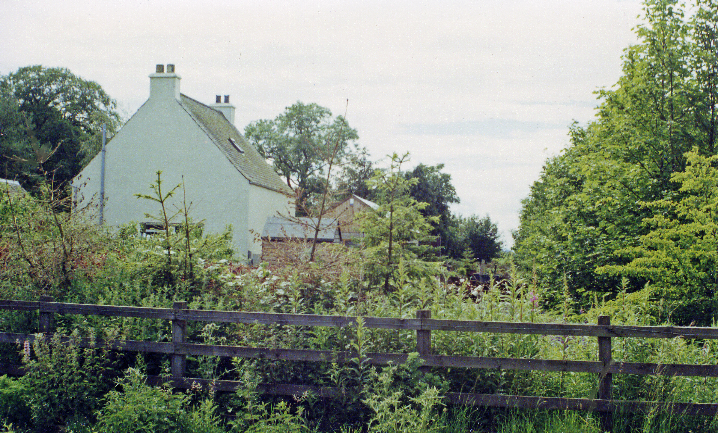
Arthurstone is a small village situated in the county of Perthshire, Scotland. Located approximately 5 miles east of the city of Perth, it is nestled in the picturesque countryside near the River Tay. With a population of around 200 residents, Arthurstone retains a charming rural atmosphere while still being within easy reach of urban amenities.
The village is known for its stunning natural beauty, with rolling hills, lush greenery, and panoramic views of the surrounding landscape. It offers a peaceful and tranquil setting, making it an ideal location for those seeking a quiet and idyllic lifestyle.
Arthurstone is primarily a residential area, consisting of traditional stone-built houses and cottages. Some of these properties date back to the 18th century, adding to the village's historic character. The village boasts a close-knit community, with a friendly and welcoming atmosphere.
Although Arthurstone is a small village, it is conveniently located near Perth, providing residents with easy access to a range of amenities and services. Perth offers a wide range of shops, restaurants, and leisure facilities, ensuring that residents have everything they need within a short distance.
For those seeking outdoor activities, the surrounding area offers ample opportunities for walking, cycling, and exploring the natural beauty of Perthshire. The nearby River Tay is a popular spot for fishing and water sports enthusiasts.
In summary, Arthurstone is a charming and peaceful village located in the heart of Perthshire. Its beautiful surroundings, historic buildings, and proximity to amenities make it an attractive place to live for those seeking a serene rural lifestyle.
If you have any feedback on the listing, please let us know in the comments section below.
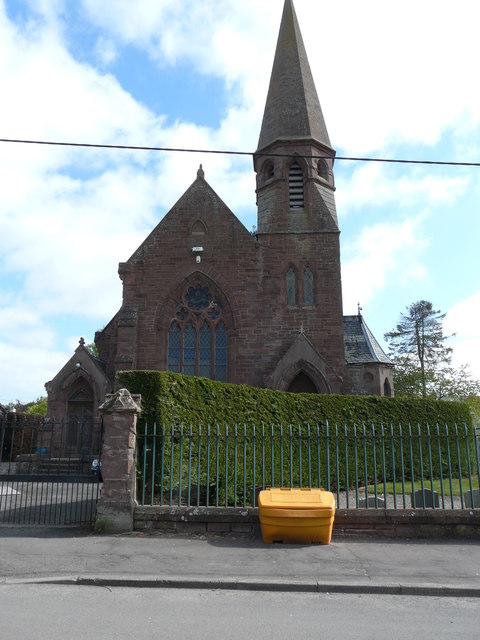
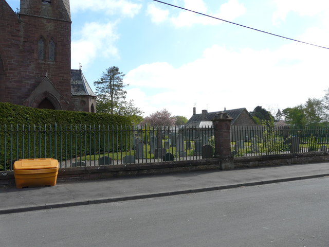
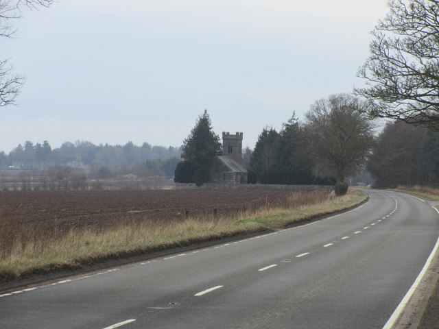
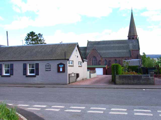
Arthurstone Images
Images are sourced within 2km of 56.576904/-3.202327 or Grid Reference NO2643. Thanks to Geograph Open Source API. All images are credited.


Arthurstone is located at Grid Ref: NO2643 (Lat: 56.576904, Lng: -3.202327)
Unitary Authority: Perth and Kinross
Police Authority: Tayside
What 3 Words
///eats.steam.abandons. Near Coupar Angus, Perth & Kinross
Nearby Locations
Related Wikis

Kinloch, Coupar Angus
Kinloch is a small settlement along the A94 road in the Coupar Angus and Meigle ward of the council area of Perth and Kinross in eastern Scotland. Approximately...
Ardler, Perth and Kinross
Ardler is a small village in Perth and Kinross, Scotland. It is situated approximately 3 miles (5 kilometres) east of Coupar Angus, and approximately equidistant...

Washington (Tayside) railway station
Washington railway station served the village of Washington, Perth and Kinross, Scotland, from 1837 to 1847 on the Scottish Midland Junction Railway....
Ardler railway station
Ardler railway station served the village of Ardler in the Scottish county of Perth and Kinross. Its proximity to Alyth Junction made it part of the divergence...

River Ericht
The River Ericht (Scottish Gaelic: Abhainn Eireachd) is a river in Perthshire, Scotland formed from the confluence of the rivers Blackwater and Ardle at...
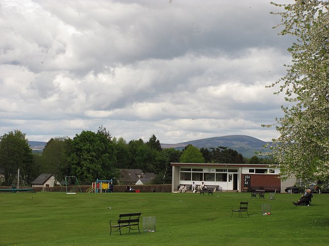
Meigle Cricket Club
Meigle Cricket Club is a cricket club in Meigle, Perthshire, Scotland. Established in 1876, it has won the Strathmore & Perthshire Cricket Union, of which...

Meigle
Meigle (Scottish Gaelic: Mìgeil, IPA: [ˈmiːkʲɪl]) is a village in Strathmore, Scotland. It lies in the council area of Perth and Kinross in the Coupar...
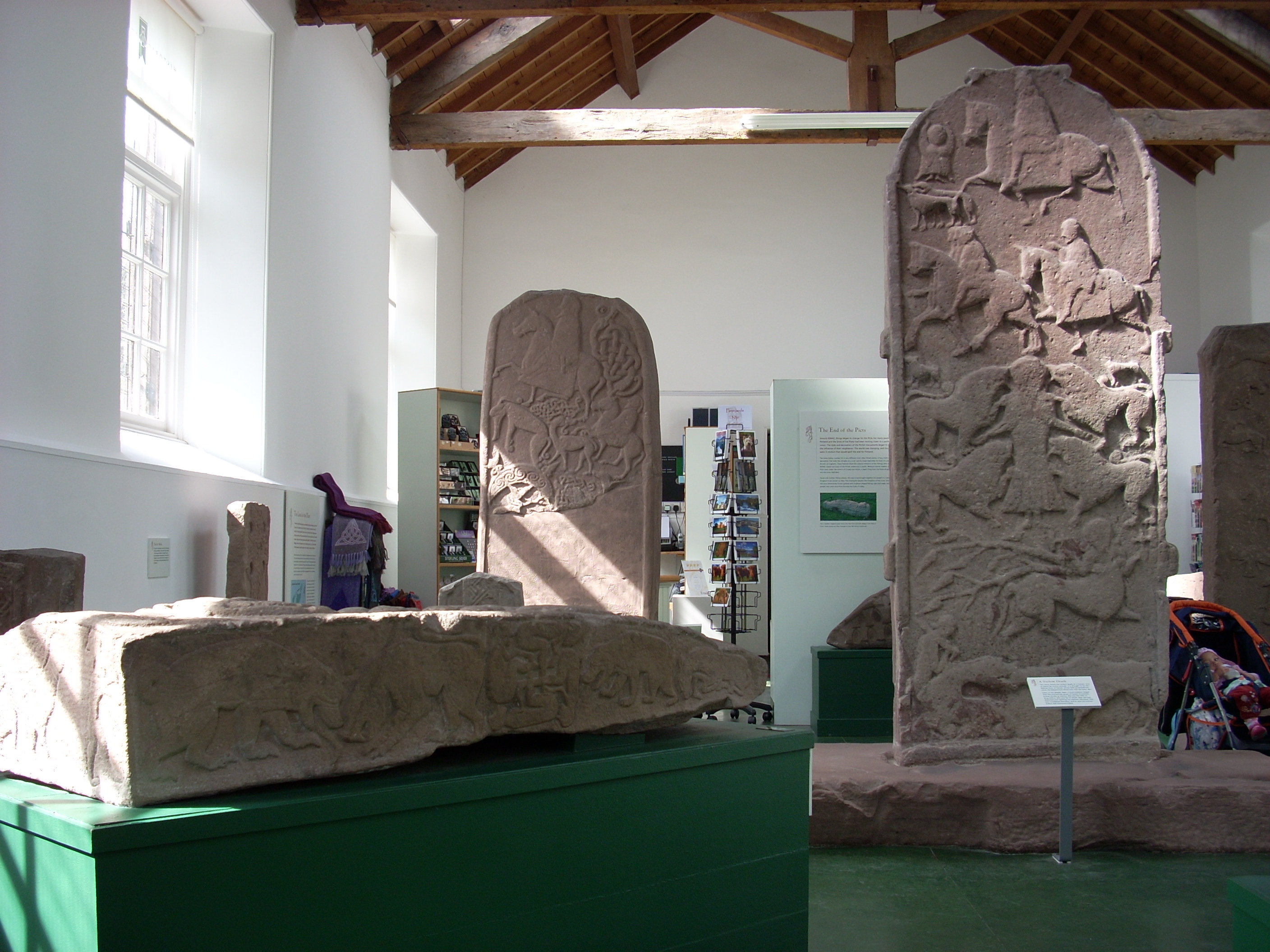
Meigle Sculptured Stone Museum
The Meigle Sculptured Stone Museum is a permanent exhibition of 27 carved Pictish stones in the centre of the village of Meigle in eastern Scotland. It...
Nearby Amenities
Located within 500m of 56.576904,-3.202327Have you been to Arthurstone?
Leave your review of Arthurstone below (or comments, questions and feedback).