Kells
Settlement in Cumberland Copeland
England
Kells
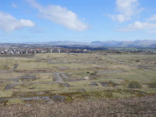
Kells is a small village located in the county of Cumberland, England. Situated near the border of Scotland, it is nestled in the beautiful countryside of the northern Lake District. Kells is known for its picturesque landscapes, charming rural setting, and rich history.
The village is home to a close-knit community and has a population of around 400 residents. It offers a peaceful and idyllic atmosphere, making it a popular destination for those seeking tranquility and a break from the hustle and bustle of city life.
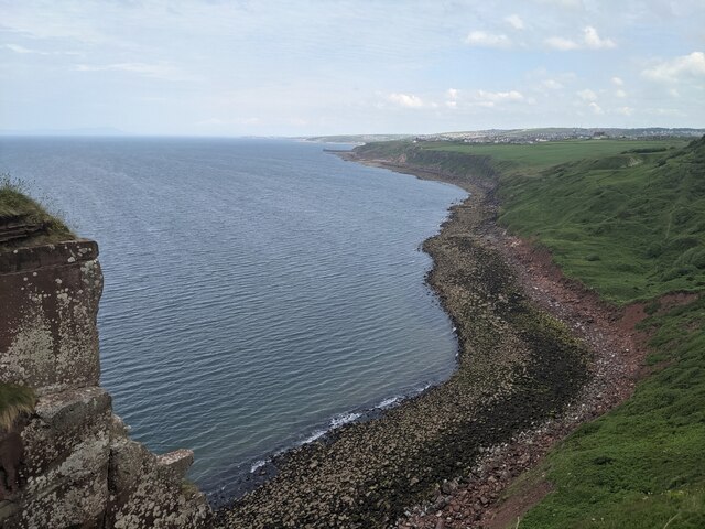
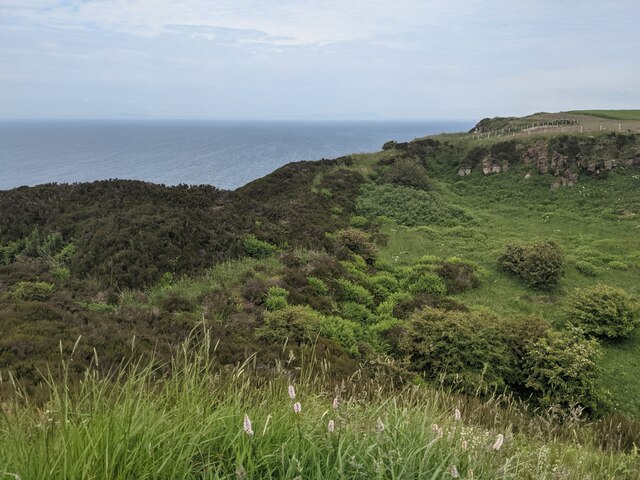
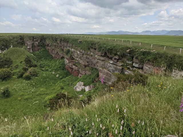
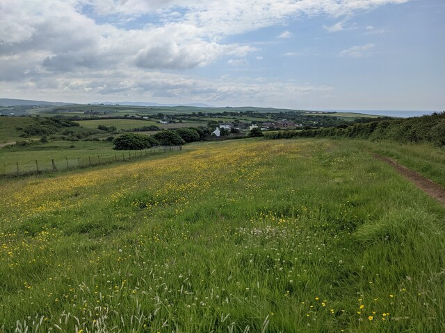
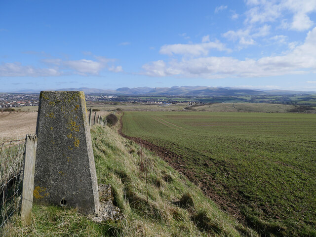
Kells is surrounded by stunning natural beauty, with rolling hills, lush green fields, and meandering rivers. The village is also close to the famous Hadrian's Wall, a UNESCO World Heritage site that attracts visitors from all over the world.
In terms of amenities, Kells has a primary school, a village hall, and a small convenience store to cater to the needs of its residents. The village is also home to a number of historic buildings, including St. Kentigern's Church, which dates back to the 12th century.
Outdoor enthusiasts will find plenty to do in the area surrounding Kells, such as hiking, cycling, and fishing. The village is a gateway to the Lake District National Park, offering easy access to a multitude of walking trails and stunning viewpoints.
Overall, Kells is a charming and peaceful village, offering a close-knit community, beautiful landscapes, and a rich history that attracts visitors and residents alike.
If you have any feedback on the listing, please let us know in the comments section below.
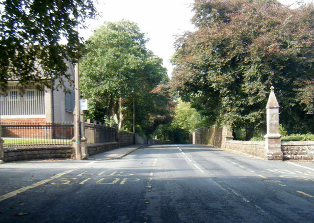
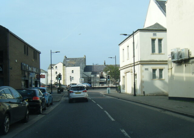
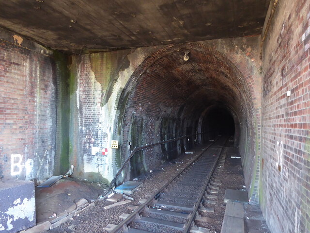
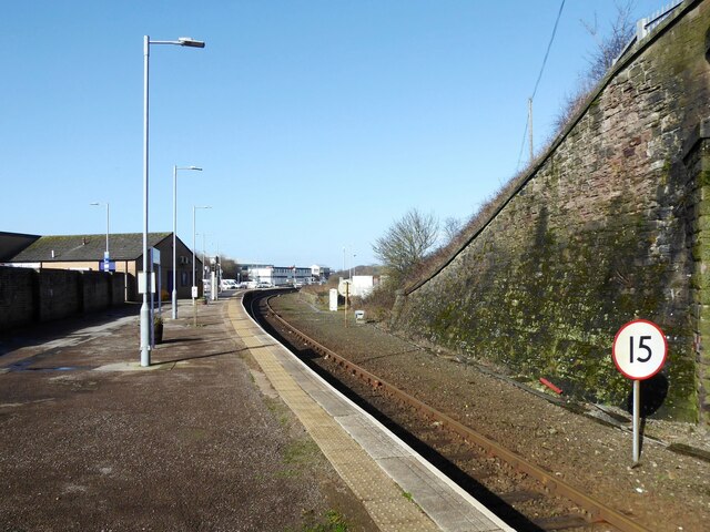
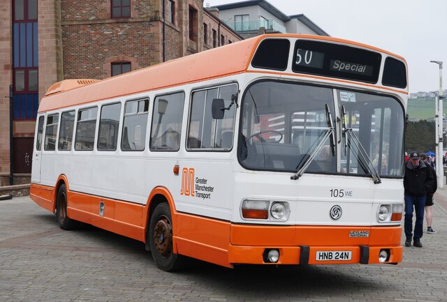
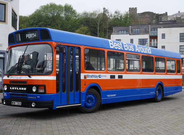
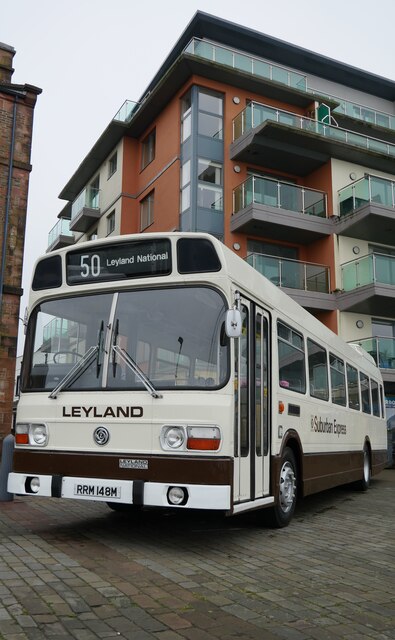
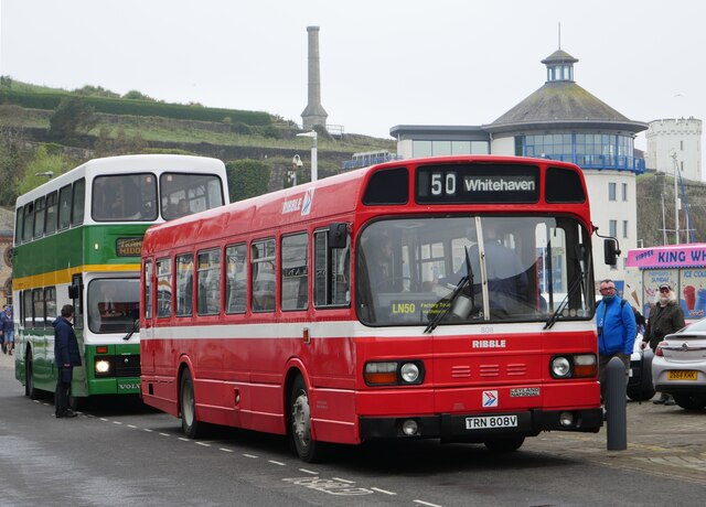
Kells Images
Images are sourced within 2km of 54.53868/-3.599547 or Grid Reference NX9617. Thanks to Geograph Open Source API. All images are credited.

Kells is located at Grid Ref: NX9617 (Lat: 54.53868, Lng: -3.599547)
Administrative County: Cumbria
District: Copeland
Police Authority: Cumbria
What 3 Words
///wasps.frantic.evenly. Near Whitehaven, Cumbria
Nearby Locations
Related Wikis

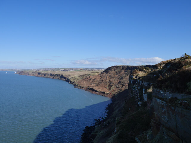
Kells, Whitehaven
Kells is an area of Whitehaven in Cumbria, England, elevated on a cliff to the south of the town centre, overlooking the Irish sea. The population of this...

Haig Colliery Mining Museum
Haig Colliery Mining Museum was a visitor attraction in Kells, on the site of Cumbria's last deep coal mine on the cliffs above Whitehaven in Cumbria,...

Haig Colliery
Haig Colliery was a coal mine in Whitehaven, Cumbria, in north-west England. The mine was in operation for almost 70 years and produced anthracitic coal...

Preston Street railway station
Preston Street railway station (also known as Newtown) was a railway station in Whitehaven, Cumbria, England. Opened in July 1849 the station was the original...
Recreation Ground (Whitehaven)
The Recreation Ground (known locally as the 'Recre') and for sponsorship reasons the LEL Arena is a rugby league stadium in Whitehaven, Cumbria, England...
Whitehaven A.F.C.
Whitehaven Amateur Football Club is a football club in Whitehaven, Cumbria. The club are currently members of the West Lancashire League Premier Division...

St Begh's Church, Whitehaven
St Begh's Church or St Begh's Priory Church is a Roman Catholic parish church in Whitehaven, Cumbria, England. It was built from 1865 to 1868 and designed...

Corkickle railway station
Corkickle railway station is a railway station serving the suburb of Corkickle near Whitehaven in Cumbria, England. It is on the Cumbrian Coast Line, which...
Nearby Amenities
Located within 500m of 54.53868,-3.599547Have you been to Kells?
Leave your review of Kells below (or comments, questions and feedback).