Kelloholm

Settlement in Dumfriesshire

Scotland

Kelloholm

Road to Tower Farm
Road to Tower Farm Credit: Steven Brown

Kelloholm is a small village located in the council area of Dumfries and Galloway, Scotland. Situated in the central part of Dumfriesshire, it lies approximately 3 miles east of the town of Sanquhar. Kelloholm is nestled within the beautiful countryside of the Southern Uplands, offering residents and visitors picturesque views and a tranquil environment.

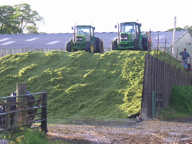
Originally established as a coal mining village in the early 20th century, Kelloholm saw a rapid expansion with the development of the local mining industry. However, like many mining communities, the closure of the pits in the 1960s brought significant changes to the village's economy and way of life.

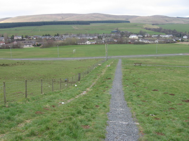
Today, Kelloholm is a predominantly residential area with a close-knit community. The village offers a range of amenities to its residents, including a primary school, a community center, and a local shop. Additionally, there are several parks and open spaces, providing opportunities for outdoor activities and leisure.

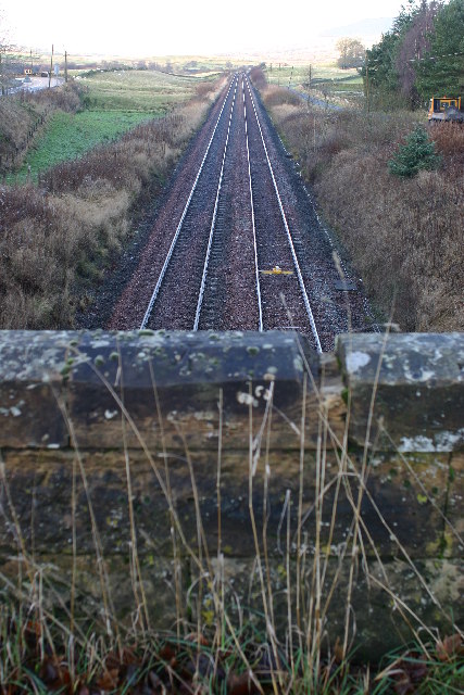
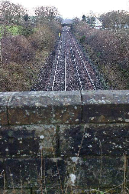
Kelloholm benefits from its proximity to nearby towns and cities. Sanquhar, with its train station, provides easy access to Glasgow and Dumfries, making it a convenient location for commuters. The surrounding area offers numerous opportunities for outdoor enthusiasts, with walking and cycling trails, fishing spots, and golf courses all within a short distance.

Overall, Kelloholm is a charming village that combines the tranquility of rural living with the convenience of nearby amenities and transport links. Its rich history, natural beauty, and strong sense of community make it an attractive place to call home.

If you have any feedback on the listing, please let us know in the comments section below.
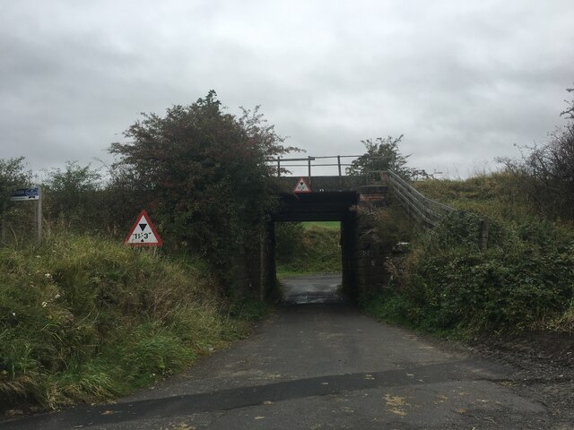
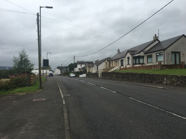
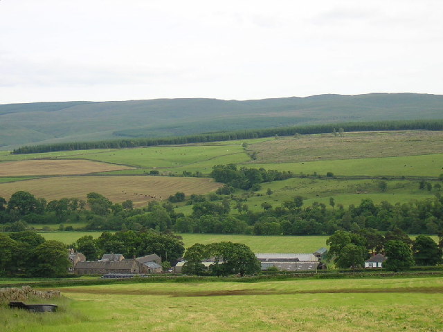
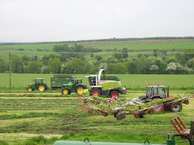
Kelloholm Images

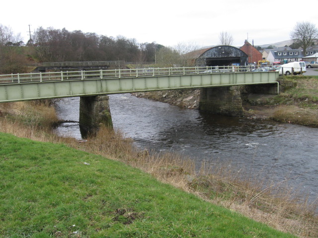
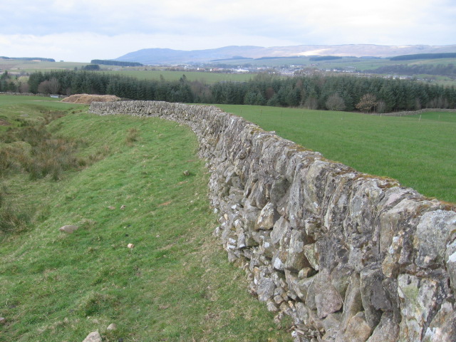
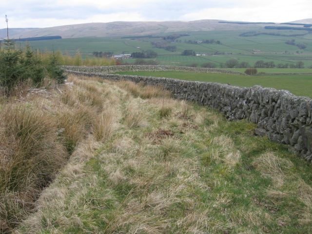
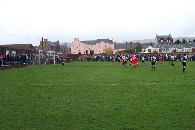
Images are sourced within 2km of 55.381344/-3.993638 or Grid Reference NS7311. Thanks to Geograph Open Source API. All images are credited.

Road to Tower Farm
Road to Tower Farm
A76 at Kirkconnel
A76 at Kirkconnel
Knockenjig Farm
Knockenjig Farm
Taking in the silage
The winter feed
The winter feed
Railway lines at Kirkconnel Looking W from position
Railway lines at Kirkconnel
Looking W from position
Railway lines near kirkconnel Looking E from position
Railway lines near kirkconnel
Looking E from position
Track to Corserig
Track to Corserig
Track to Corserig
Track to Corserig
Approaching Kirkconnel
Footbridge over River Nith at Kirkconnel
Burn near Glengape towards Kello Water
Kello Water
Kello Water
Farmland near Drumbuie
Millstone Knowe above Connelbush
Unmapped Bridge over Kello Water
Nithside Park, Kirkconnel Home of Kello Rovers Football Club
Nithside Park, Kirkconnel
Home of Kello Rovers Football Club
Kirkconnel Welcome to Kirkconnel and Kirkconnel Church
Kirkconnel
Welcome to Kirkconnel and Kirkconnel Church
Show me another place!

Kelloholm is located at Grid Ref: NS7311 (Lat: 55.381344, Lng: -3.993638)

Unitary Authority: Dumfries and Galloway

Police Authority: Dumfries and Galloway

What 3 Words

///morphing.lotteries.heat. Near Kirkconnel, Dumfries & Galloway

Nearby Locations

Kirkconnel Kelloholm

Related Wikis

Kelloholm

Kelloholm is a village in Dumfries and Galloway, Scotland. It has a primary school, a public house and several shops. Kelloholm lies next to Kirkconnel...

Kirkconnel railway station

Kirkconnel railway station is a railway station in the town of Kirkconnel, Dumfries and Galloway, Scotland. The station is unstaffed, owned by Network...
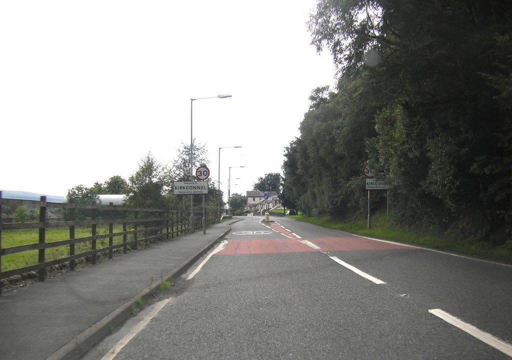
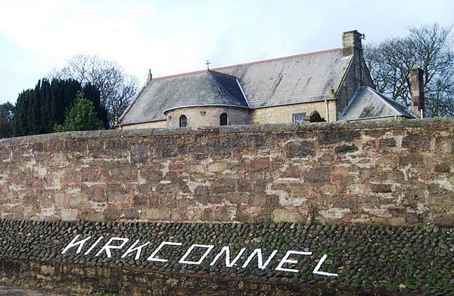
Kirkconnel

Kirkconnel (Gaelic: Cille Chonbhaill) is a small parish in Dumfries and Galloway, southwestern Scotland. It is located on the A76 near the head of Nithsdale...

Kelloside

Kelloside is a historic place south of Kirkconnel parish and the River Nith in Dumfries and Galloway, Dumfriesshire, Scotland. Old Kelloside is located...

A76 road

The A76 is a major trunk road in south west Scotland. Starting at Kilmarnock in East Ayrshire, the A76 goes through or immediately by-passes Hurlford...

Crawick Holm

Crawick Holm was a football ground in Sanquhar, Scotland. It was the home ground of Nithsdale Wanderers. == History == Nithsdale Wanderers moved to Crawick...
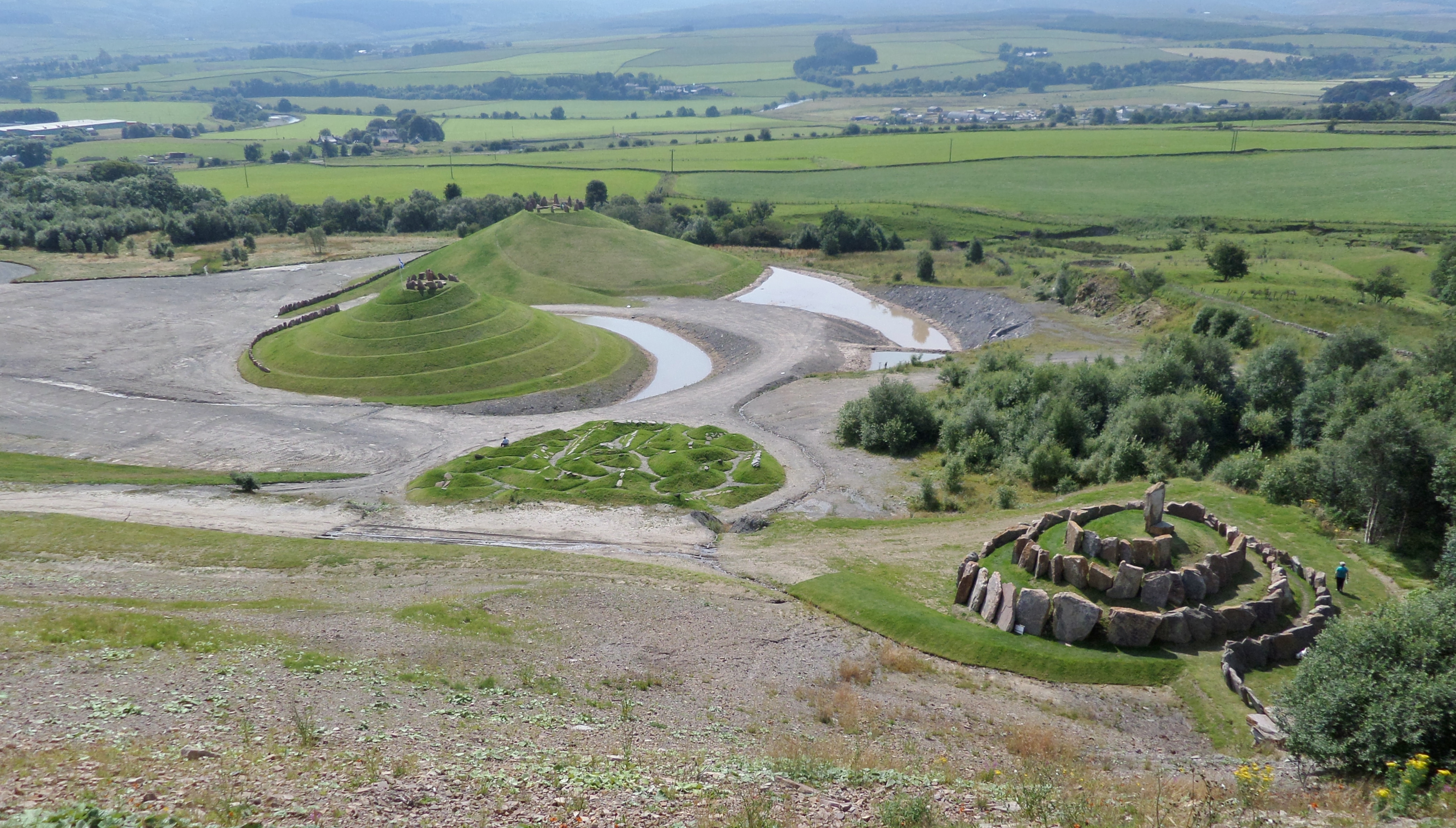
Crawick Multiverse

Crawick Multiverse is a land art project by the landscape architect and designer Charles Jencks near Sanquhar, Dumfries and Galloway. It opened to the...

Nithsdale Wanderers F.C.

Nithsdale Wanderers Football Club are a Scottish football club based in Sanquhar, Dumfries and Galloway. Their home ground is Lorimer Park and they currently...

Nearby Amenities

Located within 500m of 55.381344,-3.993638
Bus Stop
Glenwhargen Avenue
Naptan AtcoCode: 680000136501
Naptan Bearing: NW
Naptan BusStopType: CUS
Naptan CommonName: Glenwhargen Avenue
Naptan Indicator: at no. 6
Naptan Landmark: Greystone Avenue
Naptan NaptanCode: 34232385
Naptan Notes: none
Naptan Street: Glenwhargen Avenue
Naptan Verified: no
Source: naptan_import
Lat/Long: 55.3839816/-3.9971989
Bus Stop
Glenwhargen Avenue
Naptan AtcoCode: 680000136502
Naptan Bearing: SE
Naptan BusStopType: CUS
Naptan CommonName: Glenwhargen Avenue
Naptan Indicator: at no. 7
Naptan Landmark: Greystone Avenue
Naptan NaptanCode: 34232384
Naptan Notes: none
Naptan Street: Glenwhargen Avenue
Naptan Verified: no
Source: naptan_import
Lat/Long: 55.3840455/-3.997139
Bus Stop
Kirkland Drive
Naptan AtcoCode: 680000136503
Naptan Bearing: NW
Naptan CommonName: Kirkland Drive
Naptan Indicator: at no 15
Naptan Landmark: Gillenburn Avenue
Naptan NaptanCode: 34232395
Naptan Notes: none
Naptan Street: Kirkland Drive
Naptan Verified: no
Source: naptan_import
Lat/Long: 55.3811143/-3.9994065
Kirkland Drive
Naptan AtcoCode: 680000136504
Naptan Bearing: SE
Naptan BusStopType: CUS
Naptan CommonName: Kirkland Drive
Naptan Indicator: at no 16
Naptan Landmark: Gillenburn Avenue
Naptan NaptanCode: 34232396
Naptan Notes: none
Naptan Street: Kirkland Drive
Naptan Verified: no
Source: naptan_import
Lat/Long: 55.3811695/-3.9993303
Bus Stop
Greystone Avenue
Naptan AtcoCode: 680000136505
Naptan Bearing: S
Naptan CommonName: Greystone Avenue
Naptan Indicator: o/s PO
Naptan Landmark: Scott Street
Naptan NaptanCode: 34232389
Naptan Notes: none
Naptan Street: Greystone Avenue
Naptan Verified: no
Source: naptan_import
Lat/Long: 55.3786647/-3.990901
Bus Stop
Greystone Avenue
Naptan AtcoCode: 680000136506
Naptan Bearing: N
Naptan CommonName: Greystone Avenue
Naptan Indicator: opp PO
Naptan Landmark: Scott Street
Naptan NaptanCode: 34232392
Naptan Notes: none
Naptan Street: Greystone Avenue
Naptan Verified: no
Source: naptan_import
Lat/Long: 55.3786976/-3.9910859
Bus Stop
Libry Street
Naptan AtcoCode: 680000136507
Naptan Bearing: NE
Naptan CommonName: Libry Street
Naptan Indicator: at no 12
Naptan Landmark: Kirkland Drive
Naptan NaptanCode: 34232397
Naptan Notes: none
Naptan Street: Libry Street
Naptan Verified: no
Source: naptan_import
Lat/Long: 55.3818589/-3.9994914
Bus Stop
Libry Street
Naptan AtcoCode: 680000136508
Naptan Bearing: SW
Naptan CommonName: Libry Street
Naptan Indicator: at no 11
Naptan Landmark: Kirkland Drive
Naptan NaptanCode: 34232398
Naptan Notes: none
Naptan Street: Libry Street
Naptan Verified: no
Source: naptan_import
Lat/Long: 55.3818338/-3.9993796
Bus Stop
Polmeur Road
Naptan AtcoCode: 680000136509
Naptan Bearing: NW
Naptan CommonName: Polmeur Road
Naptan Indicator: at no.20
Naptan Landmark: Breckney Crescent
Naptan NaptanCode: 34232393
Naptan Notes: none
Naptan Street: Polmeur Road
Naptan Verified: no
Source: naptan_import
Lat/Long: 55.380158/-3.9930282
Bus Stop
Polmeur Road
Naptan AtcoCode: 680000136510
Naptan Bearing: SE
Naptan CommonName: Polmeur Road
Naptan Indicator: at no. 19
Naptan Landmark: Breckney Crescent
Naptan NaptanCode: 34232394
Naptan Notes: none
Naptan Street: Polmeur Road
Naptan Verified: no
Source: naptan_import
Lat/Long: 55.380178/-3.9929029
Bus Stop
Craig Drive
Naptan AtcoCode: 680000136513
Naptan Bearing: NE
Naptan CommonName: Craig Drive
Naptan Indicator: at no 21
Naptan Landmark: Greystone Avenue
Naptan NaptanCode: 34232423
Naptan Notes: none
Naptan Street: Craig Drive
Naptan Verified: no
Source: naptan_import
Lat/Long: 55.3826443/-3.999831
Bus Stop
Craig Drive
Naptan AtcoCode: 680000136514
Naptan Bearing: SW
Naptan CommonName: Craig Drive
Naptan Indicator: opp no 21
Naptan Landmark: Greystone Avenue
Naptan NaptanCode: 34232424
Naptan Notes: none
Naptan Street: Craig Drive
Naptan Verified: no
Source: naptan_import
Lat/Long: 55.3826995/-3.9997548
Bus Stop
Greystone Avenue
Naptan AtcoCode: 680000136515
Naptan Bearing: SE
Naptan CommonName: Greystone Avenue
Naptan Indicator: opp Library
Naptan Landmark: Library
Naptan NaptanCode: 34232386
Naptan Notes: none
Naptan Street: Greystone Avenue
Naptan Verified: no
Source: naptan_import
Lat/Long: 55.3822926/-3.9960561
Bus Stop
Greystone Avenue
Naptan AtcoCode: 680000136516
Naptan Bearing: NW
Naptan CommonName: Greystone Avenue
Naptan Indicator: o/s Library
Naptan Landmark: Library
Naptan NaptanCode: 34232387
Naptan Notes: none
Naptan Street: Greystone Avenue
Naptan Verified: no
Source: naptan_import
Lat/Long: 55.3821941/-3.9960353
Bus Stop
Hyslop Street
Naptan AtcoCode: 680000136517
Naptan Bearing: SW
Naptan CommonName: Hyslop Street
Naptan Indicator: at no.23
Naptan Landmark: Burns Street
Naptan NaptanCode: 34232378
Naptan Notes: none
Naptan Street: Hyslop Street
Naptan Verified: no
Source: naptan_import
Lat/Long: 55.3815282/-3.9878087
Bus Stop
Hyslop Street
Naptan AtcoCode: 680000136518
Naptan Bearing: NE
Naptan CommonName: Hyslop Street
Naptan Indicator: at no.36
Naptan Landmark: Burns Street
Naptan NaptanCode: 34232379
Naptan Notes: none
Naptan Street: Hyslop Street
Naptan Verified: no
Source: naptan_import
Lat/Long: 55.3816085/-3.9878443
Bus Stop
Primary School
Naptan AtcoCode: 680000136519
Naptan Bearing: NW
Naptan CommonName: Primary School
Naptan Indicator: o/s School
Naptan Landmark: Glengaber Avenue
Naptan NaptanCode: 34232382
Naptan Notes: none
Naptan Street: Hyslop Street
Naptan Verified: no
Source: naptan_import
Lat/Long: 55.381792/-3.9892743
Bus Stop
Primary School
Naptan AtcoCode: 680000136520
Naptan Bearing: SE
Naptan CommonName: Primary School
Naptan Indicator: opp School
Naptan Landmark: Glengaber Avenue
Naptan NaptanCode: 34232383
Naptan Notes: none
Naptan Street: Hyslop Street
Naptan Verified: no
Source: naptan_import
Lat/Long: 55.3818299/-3.9891499
Noexit: yes
Lat/Long: 55.3799581/-3.9897843
Post Box
Operator: Royal Mail
Post Box Mounting: pier
Post Box Type: lamp
Ref: DG4 172
Royal Cypher: scottish_crown
Lat/Long: 55.3830573/-3.9927432
Post Box
Post Box Type: lamp
Ref: DG4 181
Royal Cypher: scottish_crown
Lat/Long: 55.3803041/-3.9997435
Post Box
Post Box Type: lamp
Ref: DG4 176
Lat/Long: 55.3822724/-3.9964414
Post Box
Ref: DG4 182
Lat/Long: 55.3787726/-3.9906257
Post Box
Ref: DG4 161
Lat/Long: 55.3815945/-3.9881317
Power: pole
Lat/Long: 55.383546/-3.987051
Power: pole
Lat/Long: 55.3840771/-3.9883516
Power: pole
Lat/Long: 55.3846151/-3.9895983
Power: pole
Lat/Long: 55.3848806/-3.9902216
Power: pole
Lat/Long: 55.384867/-3.9913484
Power: pole
Lat/Long: 55.3848194/-3.9930206
Power: pole
Lat/Long: 55.3847955/-3.9944771
Power: pole
Lat/Long: 55.385136/-3.9952383
Power: pole
Lat/Long: 55.3854016/-3.9967546
Power: pole
Lat/Long: 55.385506/-3.9960347
Kelloholm
Place: village
Lat/Long: 55.3803082/-3.9901321
Passing Place
Lat/Long: 55.3772791/-3.9951201
Passing Place
Lat/Long: 55.3785566/-3.9980271
Fast Food
Loon Fung
Cuisine: chinese
Lat/Long: 55.3802109/-3.9972717
Co-op Food - Kelloholm
Shop: supermarket
Lat/Long: 55.3820812/-3.9966222
Power: pole
Lat/Long: 55.3829886/-4.0009575
Power: substation
Lat/Long: 55.3803478/-3.9996406
Post Office
Kelloholm Post Office
Addr City: Sanquhar
Addr Country: GB
Addr Postcode: DG4 6QU
Addr Street: Scott Street
Addr Village: Kelloholm
Brand: Post Office
Brand Wikidata: Q1783168
Check Date: 2022-05-27
Check Date Opening Hours: 2022‑05‑27
Contact Website: https://www.postoffice.co.uk/branch-finder/1148184/kelloholm
Opening Hours: Mo-Fr 09:00-13:00,14:00-17:30; Sa 09:00-12:30
Ref Pol Id: 1743
Lat/Long: 55.3784993/-3.9907157
Power: pole
Lat/Long: 55.3826866/-4.0011927
Power: pole
Lat/Long: 55.3829539/-4.0008783
Noexit: yes
Lat/Long: 55.3795387/-3.9907274
The data included in this document is from www.openstreetmap.org. The data is made available under ODbL.

Have you been to Kelloholm?

Leave your review of Kelloholm below (or comments, questions and feedback).