Arradoul
Settlement in Banffshire
Scotland
Arradoul
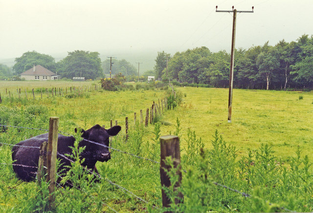
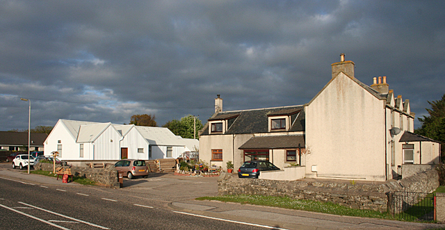
Arradoul is a small village located in the historical county of Banffshire, Scotland. Situated in the northeast coast of the country, it is nestled between the larger towns of Buckie and Portknockie. With a population of around 200 residents, Arradoul maintains a close-knit community atmosphere.
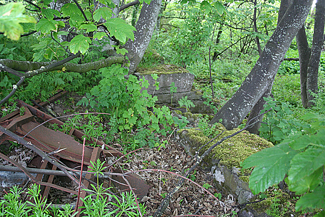
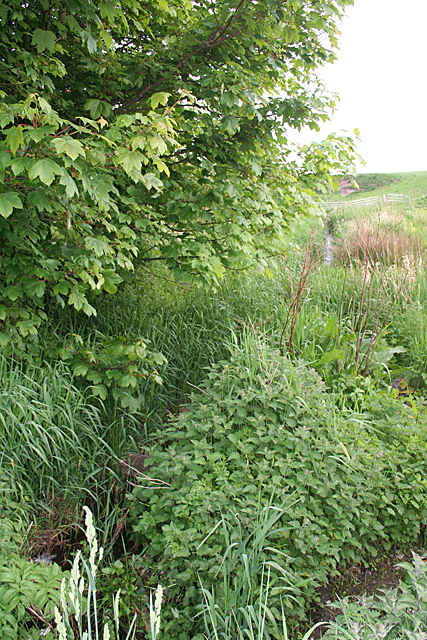
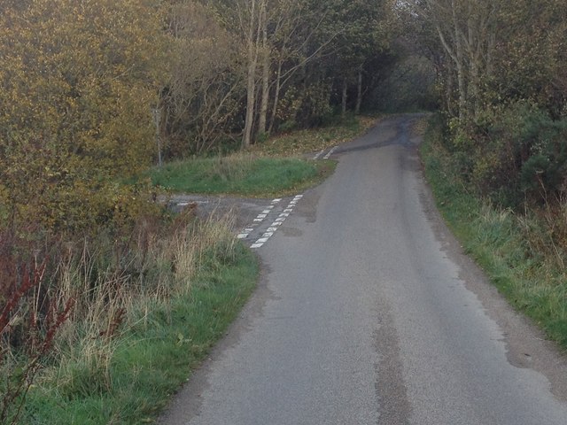
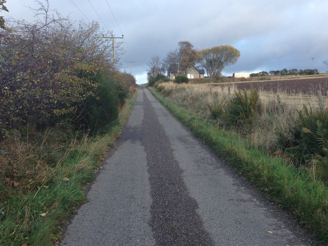
The village is known for its picturesque surroundings, surrounded by rolling hills and breathtaking coastal views. The rugged coastline offers stunning cliffs and sandy beaches, making it a popular destination for outdoor enthusiasts and nature lovers. The nearby Spey Bay is renowned for its diverse wildlife, including seals, dolphins, and various bird species.
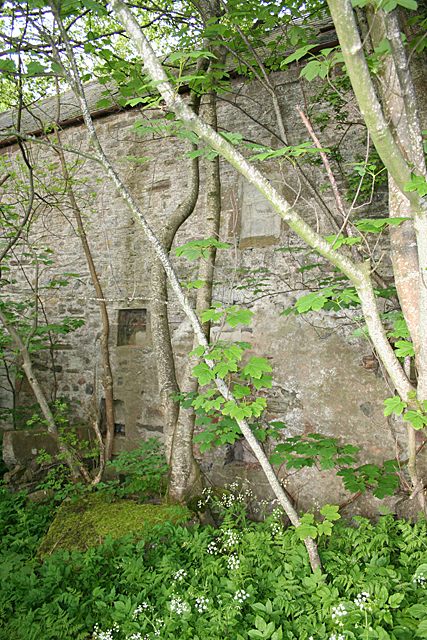
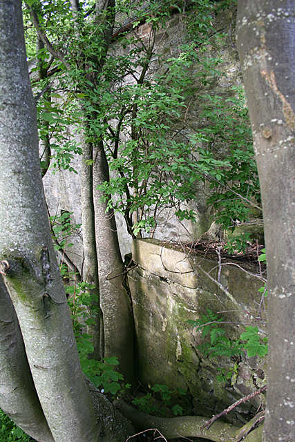
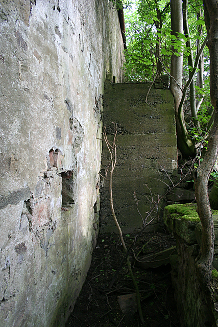
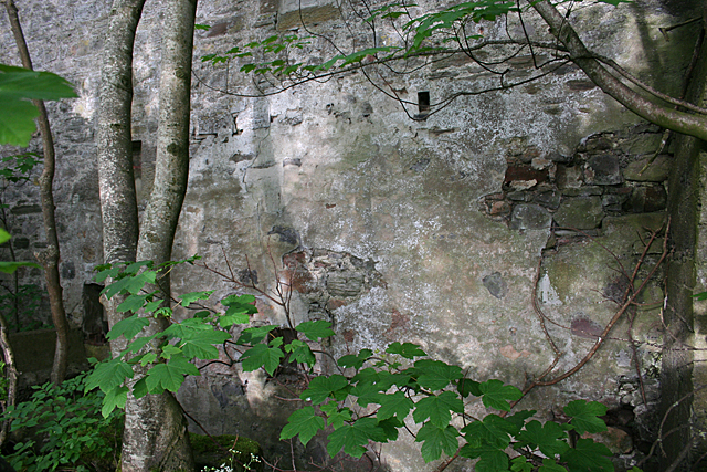
Arradoul is rich in history, with several ancient sites and landmarks scattered throughout the area. The Arradoul stone circle, a prehistoric monument consisting of standing stones, is a notable archaeological site that attracts visitors interested in Scotland's ancient past.
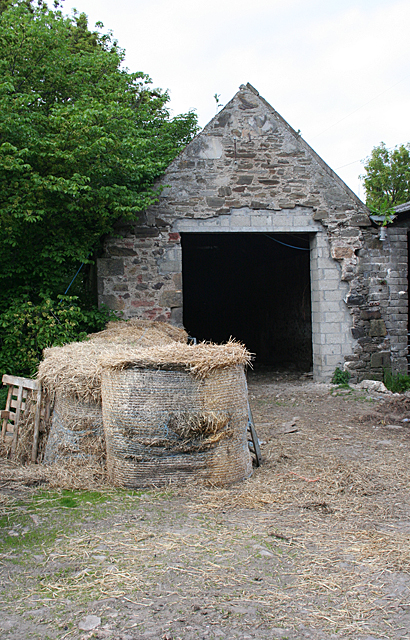
Despite its small size, the village has a range of amenities to serve its residents and visitors. These include a local pub, a community center, and a primary school. For additional services and facilities, the nearby towns of Buckie and Portknockie offer a wider range of options, including shops, restaurants, and healthcare facilities.
Arradoul provides a peaceful and tranquil setting for those seeking a slower pace of life, with its picturesque landscapes and friendly community. It is an idyllic location for individuals looking to enjoy the beauty of the Scottish coast while still having access to essential amenities.
If you have any feedback on the listing, please let us know in the comments section below.
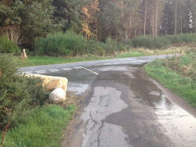
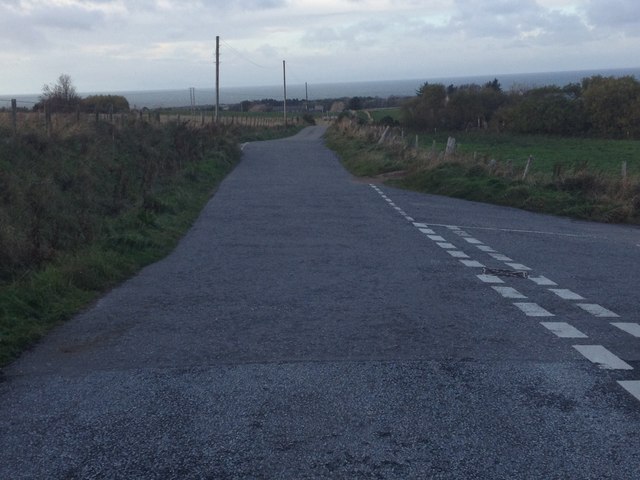
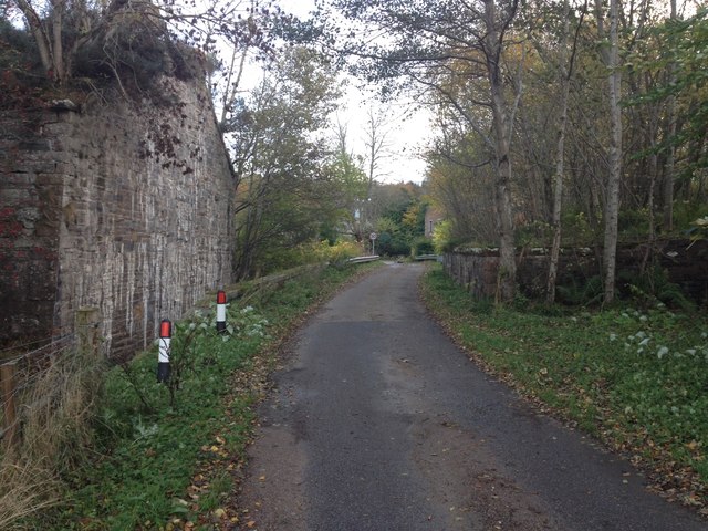
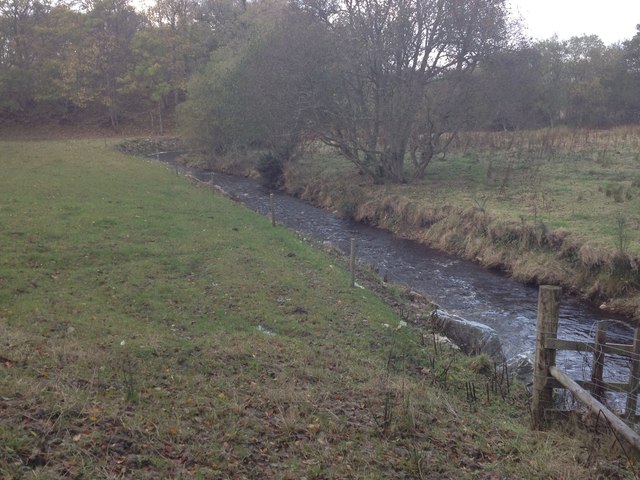
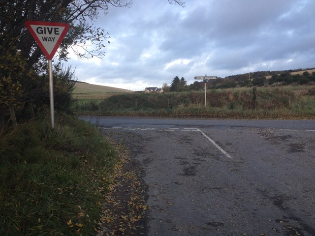
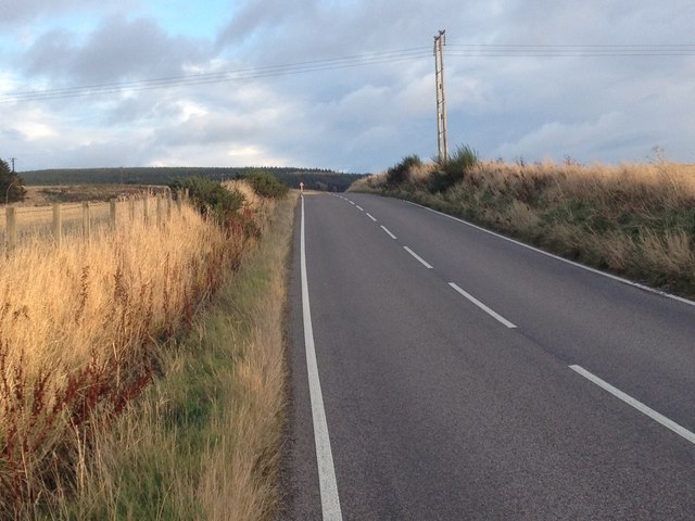
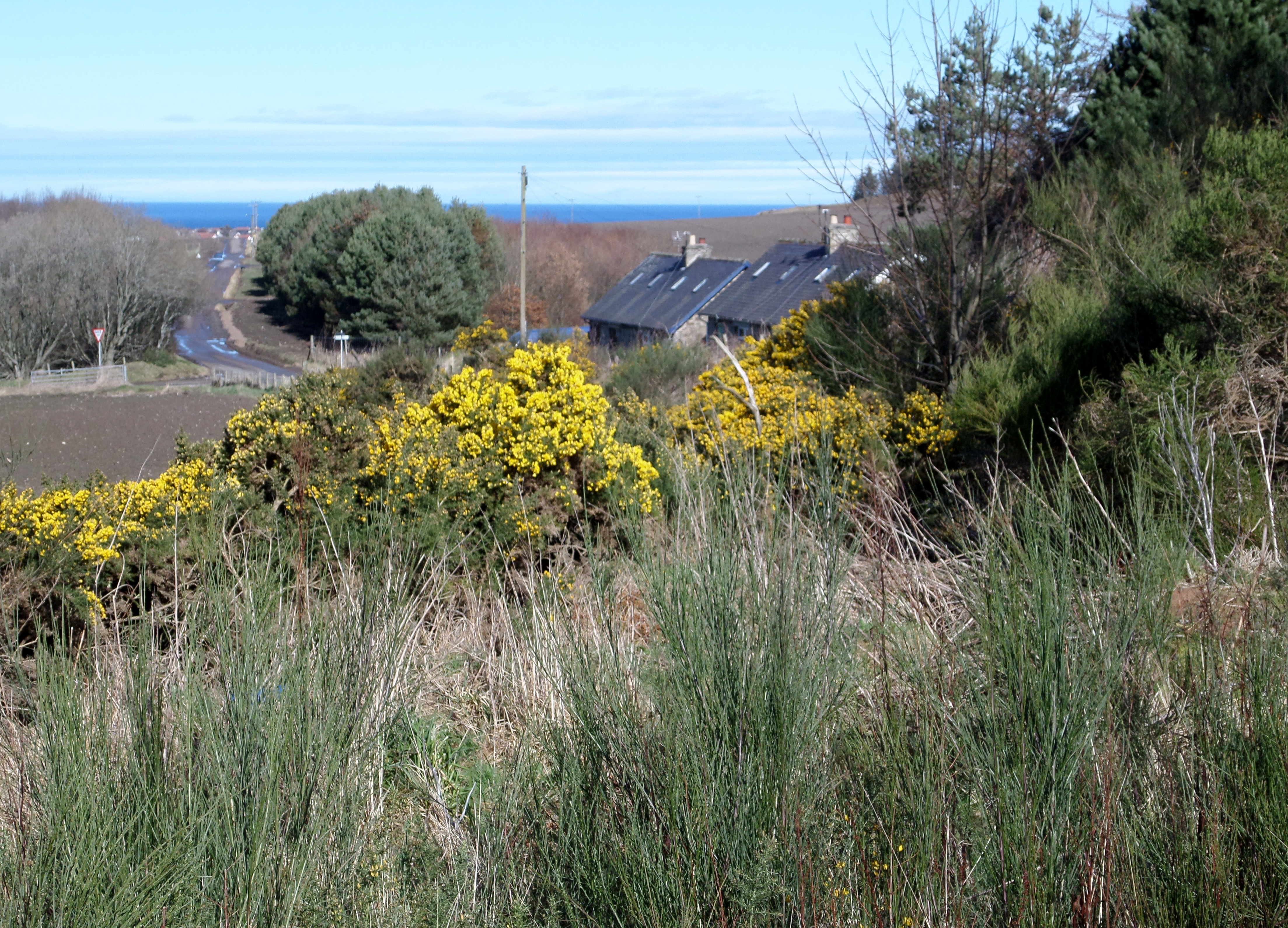
Arradoul Images
Images are sourced within 2km of 57.652665/-2.9729254 or Grid Reference NJ4262. Thanks to Geograph Open Source API. All images are credited.
Arradoul is located at Grid Ref: NJ4262 (Lat: 57.652665, Lng: -2.9729254)
Unitary Authority: Moray
Police Authority: North East
What 3 Words
///regretted.task.melt. Near Buckie, Moray
Nearby Locations
Related Wikis

Arradoul
Arradoul is a small village in Scotland, in the traditional county of Banffshire, and in the Moray council area. It is a ribbon settlement on the south...

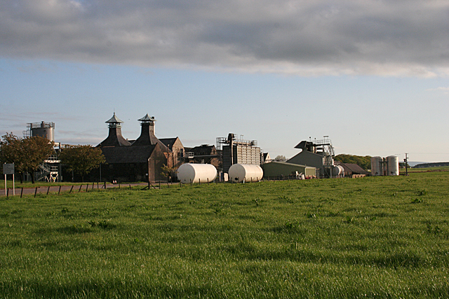
Inchgower distillery
Inchgower distillery is a whisky distillery producing a single malt of the same name located on the outskirts of Buckie, Moray, Scotland. == History... ==
Drybridge Platform railway station
Drybridge Platform railway station or Drybridge railway station was a station which served the hamlet of that name in the parish of Rathven and in addition...
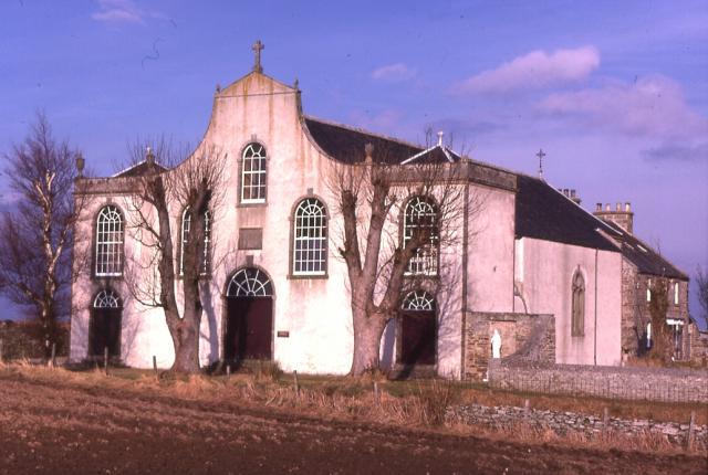
St Gregory's Church, Preshome
St. Gregory's Church is a Roman Catholic church at Preshome near Buckie in north-east Scotland. It is protected as a category A listed building.Built...

Seafield Hospital
Seafield Hospital is a community hospital in Buckie, Morayshire, Scotland. It is managed by NHS Grampian. == History == The hospital was officially opened...
Buckpool Golf Club
Buckpool Golf Club is located in Buckie, Moray on the Moray Firth coast of Scotland. This 18 hole course is set out on a clifftop location at the extreme...

Enzie railway station
Enzie railway station was a station which served the hamlet of Enzie, in the Scottish county of Moray. It was served by trains on the Buckie and Portessie...

Craigmin Bridge
Craigmin Bridge is an eighteenth century bridge within the grounds of Letterfourie House, in Moray, Scotland. Spanning the Burn of Letterfourie, it once...
Nearby Amenities
Located within 500m of 57.652665,-2.9729254Have you been to Arradoul?
Leave your review of Arradoul below (or comments, questions and feedback).