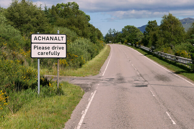
Achanalt
Settlement in Ross-shire
Scotland
Achanalt
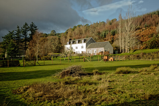
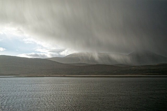
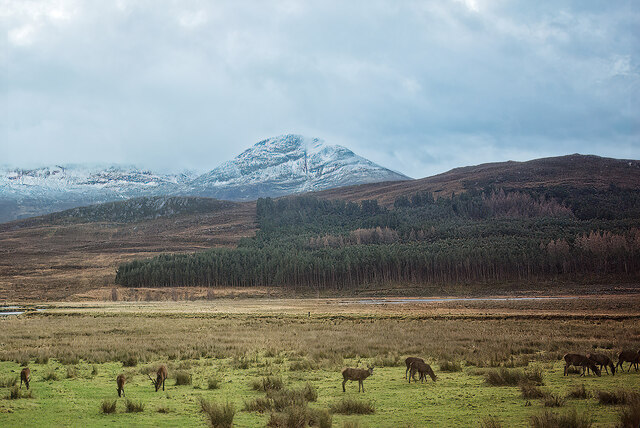
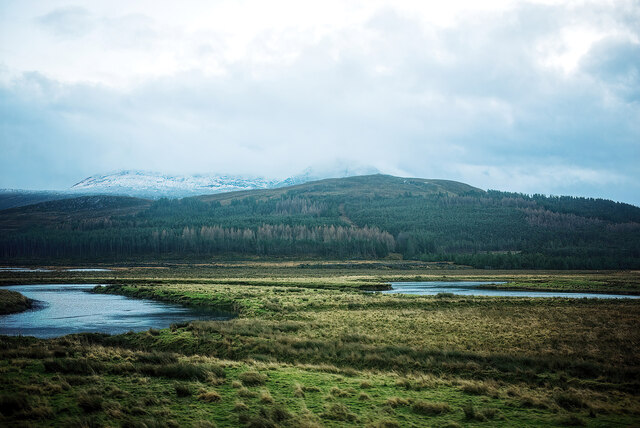
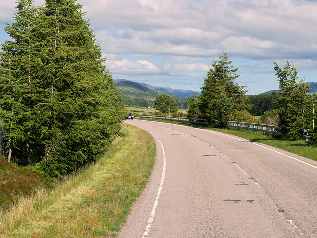
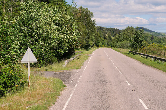
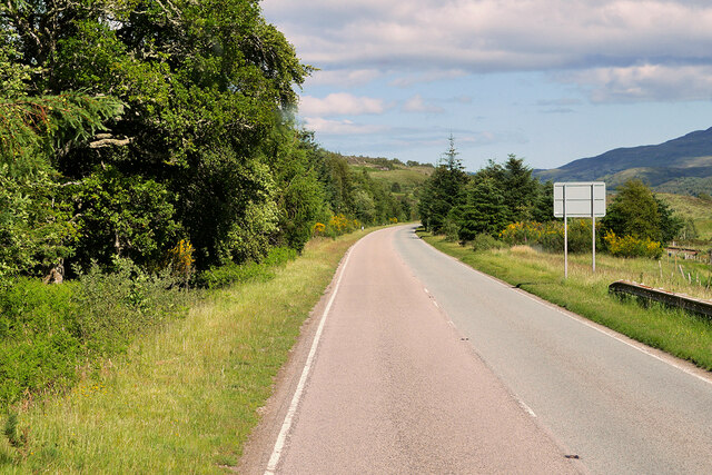
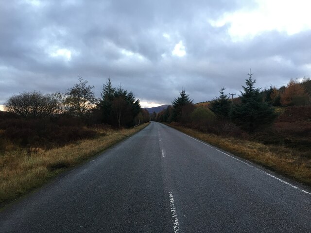
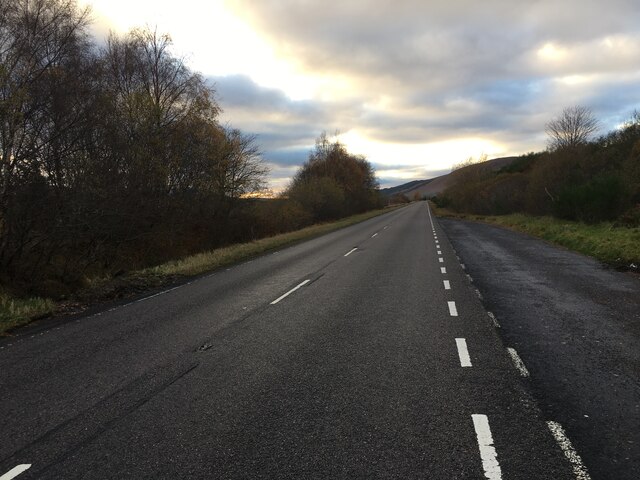
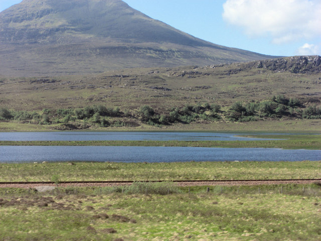
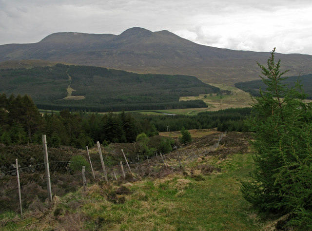
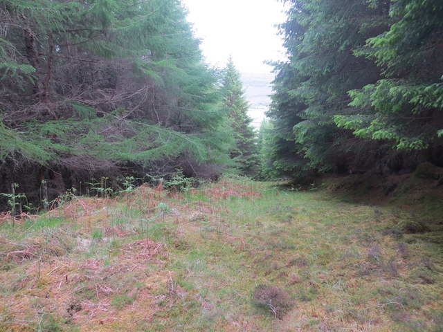
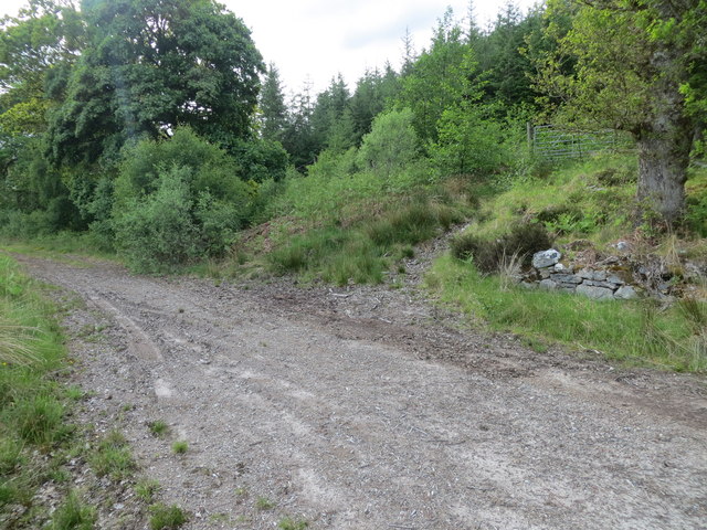
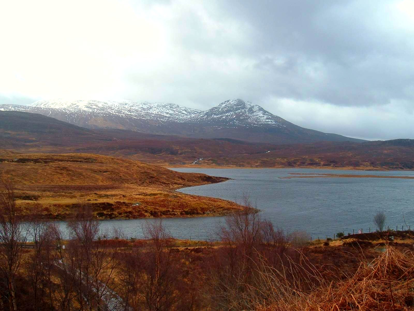
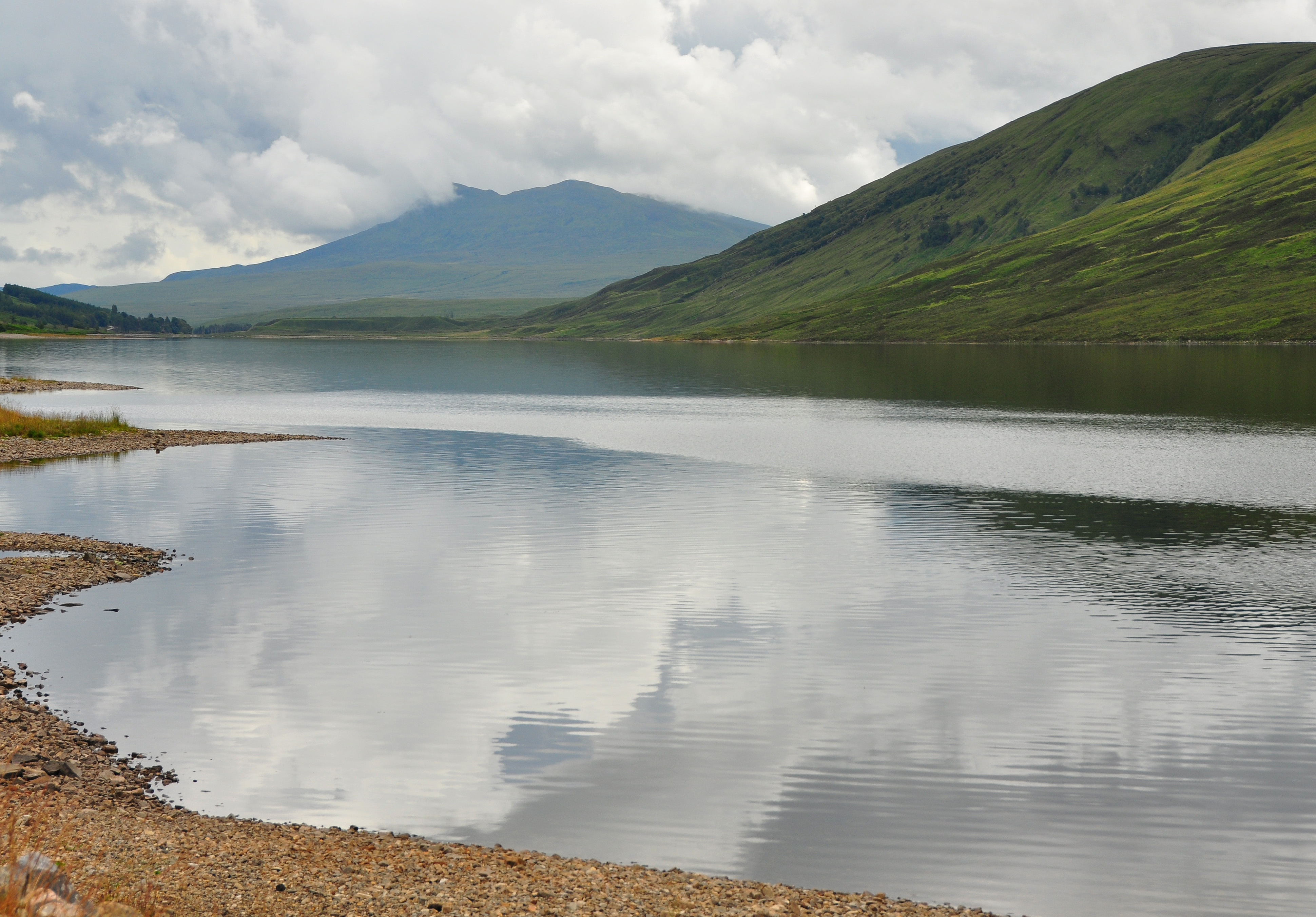
Achanalt is a small village nestled in the picturesque region of Ross-shire, Scotland. Located in the Scottish Highlands, it lies approximately 15 miles northwest of the town of Dingwall. The village is situated at the southern end of Loch Achanalt, surrounded by stunning mountainous landscapes that provide a tranquil and scenic setting.
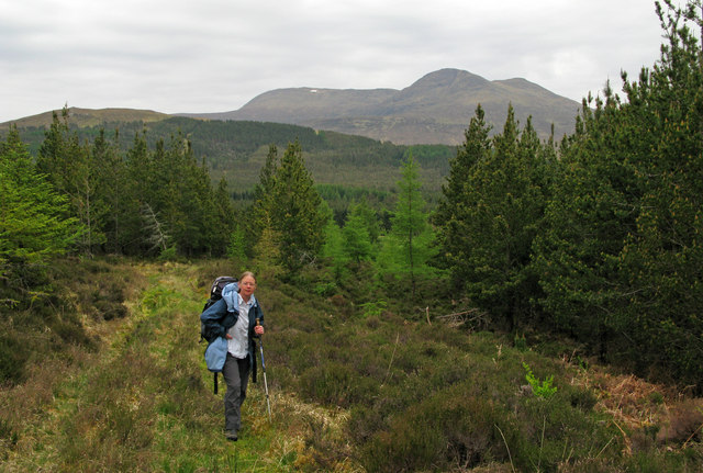
With a population of around 100 residents, Achanalt is a close-knit community that exudes a charming rural atmosphere. The village is renowned for its untouched natural beauty, making it a haven for nature enthusiasts and outdoor adventurers. Visitors can explore the surrounding hills and glens, go fishing in the loch, or embark on hiking trails that offer breathtaking views of the Scottish Highlands.
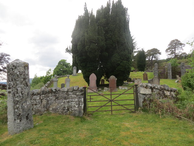
Achanalt boasts a rich history, with evidence of human settlement dating back thousands of years. The area is dotted with ancient standing stones and burial mounds, providing a glimpse into its past. The village itself features traditional Scottish architecture, with quaint cottages and stone buildings that add to its rustic appeal.
Despite its small size, Achanalt offers a range of amenities for residents and visitors. The village has a small shop that caters to daily needs, and there is a community center that hosts various events and gatherings throughout the year. Achanalt also benefits from being in close proximity to larger towns, allowing easy access to further amenities and services.
Overall, Achanalt is a hidden gem in the Scottish Highlands, offering a peaceful escape from the hustle and bustle of city life. Its breathtaking surroundings, rich history, and strong sense of community make it a truly special place to visit or call home.
If you have any feedback on the listing, please let us know in the comments section below.
Achanalt Images
Images are sourced within 2km of 57.610212/-4.9271962 or Grid Reference NH2561. Thanks to Geograph Open Source API. All images are credited.
Achanalt is located at Grid Ref: NH2561 (Lat: 57.610212, Lng: -4.9271962)
Unitary Authority: Highland
Police Authority: Highlands and Islands
What 3 Words
///bugs.ordeals.huddle. Near Achnasheen, Highland
Nearby Locations
Related Wikis
Achanalt
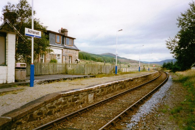
Achanalt (Gaelic: Achadh nan Allt) is a railway halt in Strath Bran, Ross and Cromarty, in the Scottish council area of Highland. It is served by a railway...

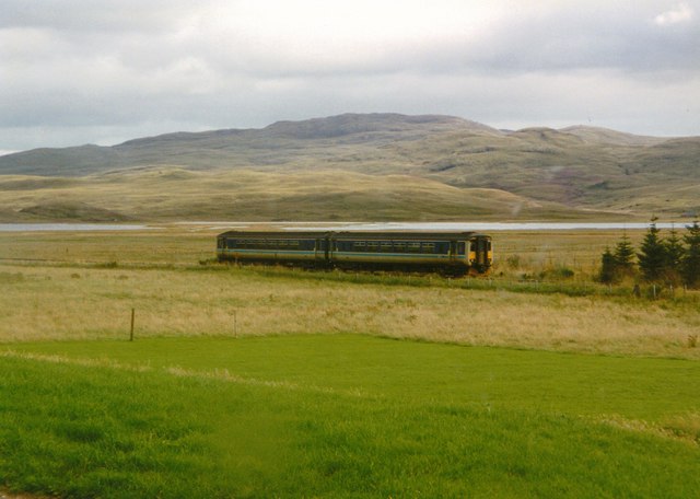
Achanalt railway station
Achanalt railway station is a geographically remote railway station on the Kyle of Lochalsh Line, serving the village of Achanalt in the north of Scotland...

Grudie
Grudie (Grùididh in Scottish Gaelic) is a village, situated between Loch a' Chuilinn and Loch Luichart with the River Bran flowing past Grudie east to...

Loch Fannich
Loch Fannich is a remote loch in Ross-shire, in Scotland. The loch is located 19 kilometres (12 mi) west of Strathpeffer. == Etymology == The name Fannich...
Sgurr a' Mhuilinn
Sgurr a' Mhuilinn (879 m) is a mountain in Highland, Scotland. It lies in a remote location in the Northwest Highlands, approximately 40 miles (64 km)...
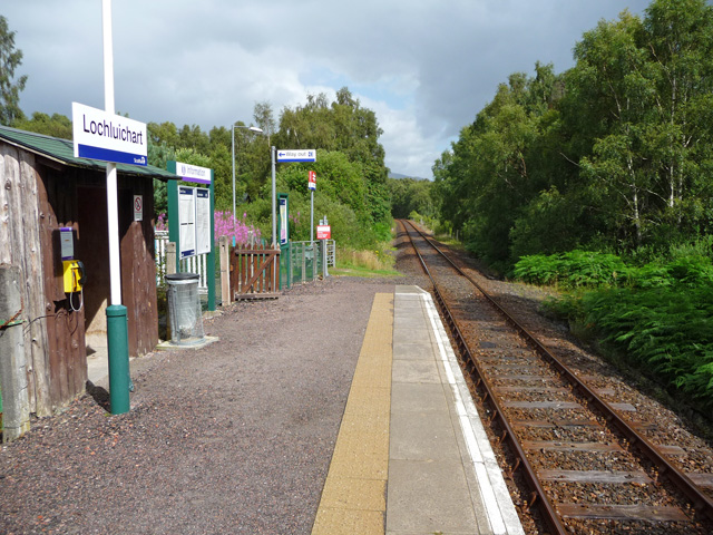
Lochluichart railway station
Lochluichart railway station is a railway station on the Kyle of Lochalsh Line, serving the village of Lochluichart in the north of Scotland. The station...

Ross and Cromarty
Ross and Cromarty (Scottish Gaelic: Ros agus Cromba), also referred to as Ross-shire and Cromartyshire, is a variously defined area in the Highlands and...
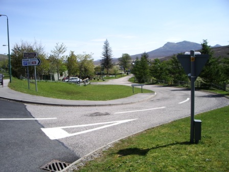
Achnasheen
Achnasheen (Gaelic Achadh na Sìne) is a small village in Ross-shire in the Highland council area of Scotland. The village is situated on the River Bran...
Nearby Amenities
Located within 500m of 57.610212,-4.9271962Have you been to Achanalt?
Leave your review of Achanalt below (or comments, questions and feedback).