Achadh na Seileach
Settlement in Ross-shire
Scotland
Achadh na Seileach
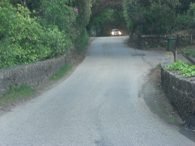
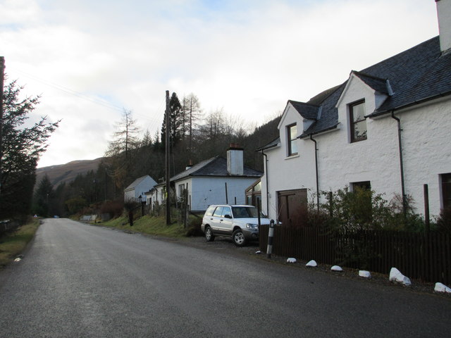
Achadh na Seileach, also known as Achiltibuie, is a picturesque village located in the county of Ross-shire, in the northwest Highlands of Scotland. It is situated on the Coigach Peninsula, overlooking the stunning waters of the Summer Isles and the vast expanse of the North Atlantic Ocean.
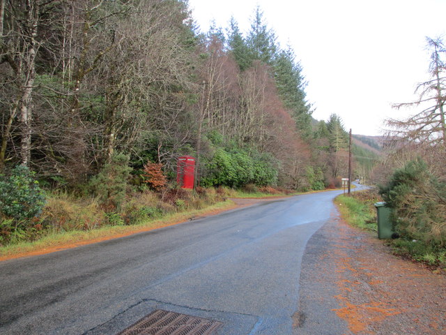
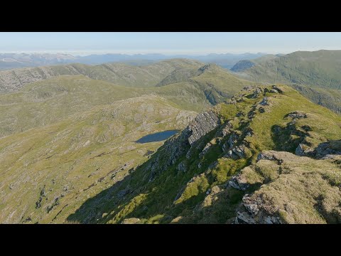
This remote and tranquil village is surrounded by breathtaking natural beauty, characterized by rugged mountains, pristine sandy beaches, and vibrant green landscapes. It offers a haven for outdoor enthusiasts and nature lovers, with an array of activities such as hiking, fishing, birdwatching, and wildlife spotting.
Despite its small size and remote location, Achadh na Seileach boasts a strong sense of community and is home to a friendly population. The village features a range of amenities including a local shop, a post office, a community center, and a popular pub that serves as a hub for locals and tourists alike.
Achadh na Seileach also offers visitors the opportunity to explore the rich cultural heritage of the area. The nearby Coigach Heritage Centre provides insight into the history and traditions of the region, showcasing artifacts and exhibitions that tell the story of the local communities.
With its breathtaking scenery, welcoming community, and range of outdoor activities, Achadh na Seileach is a hidden gem in the Scottish Highlands, attracting those seeking tranquility, adventure, and a true connection with nature.
If you have any feedback on the listing, please let us know in the comments section below.
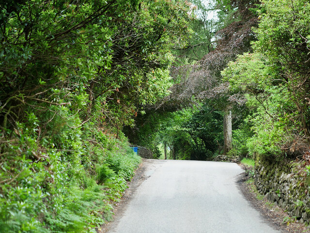
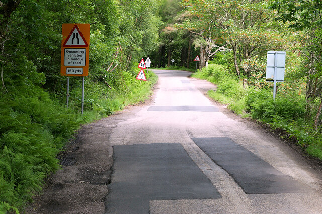
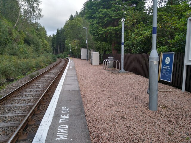
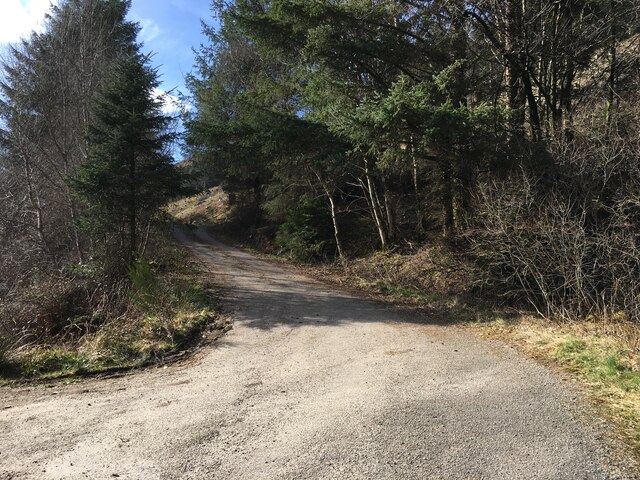
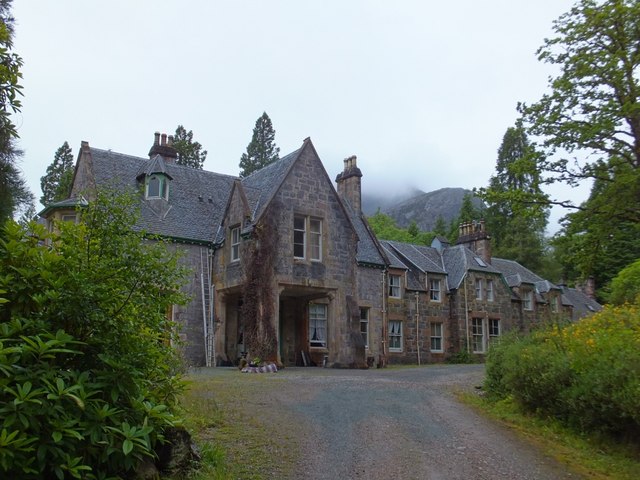
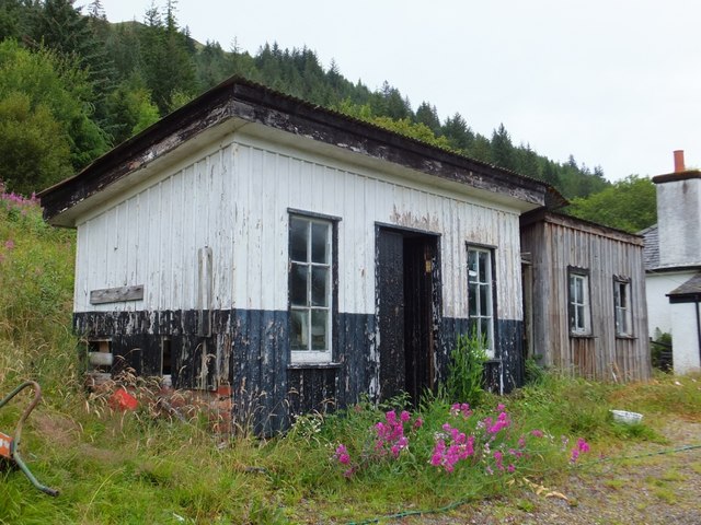
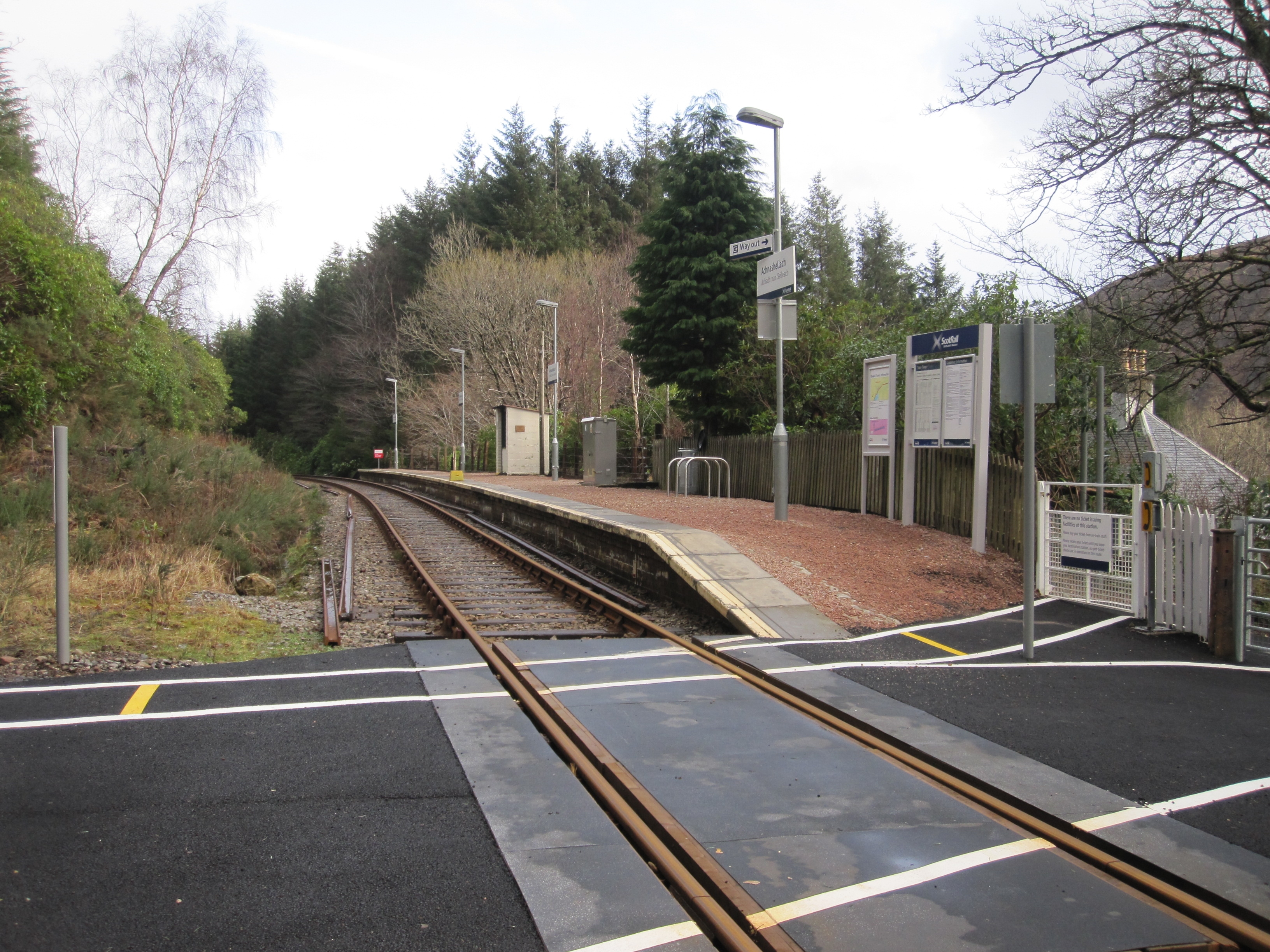
Achadh na Seileach Images
Images are sourced within 2km of 57.479735/-5.3340936 or Grid Reference NH0048. Thanks to Geograph Open Source API. All images are credited.
Achadh na Seileach is located at Grid Ref: NH0048 (Lat: 57.479735, Lng: -5.3340936)
Unitary Authority: Highland
Police Authority: Highlands and Islands
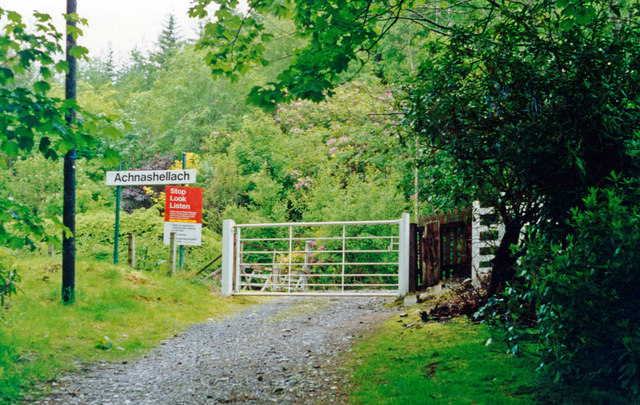
Also known as: Achnashellach
What 3 Words
///minder.sector.livid. Near Kinlochewe, Highland
Nearby Locations
Related Wikis

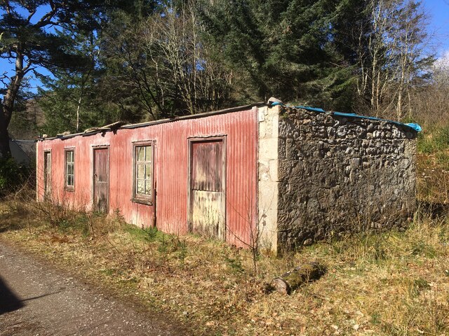
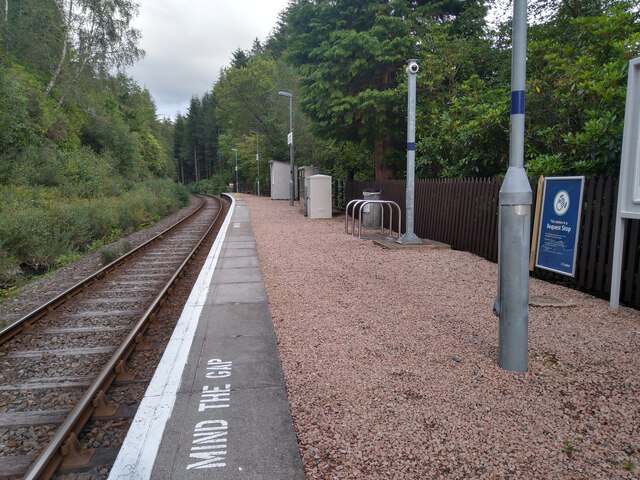
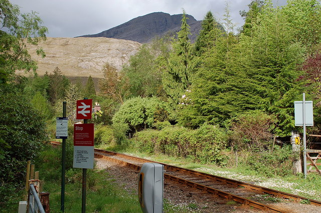
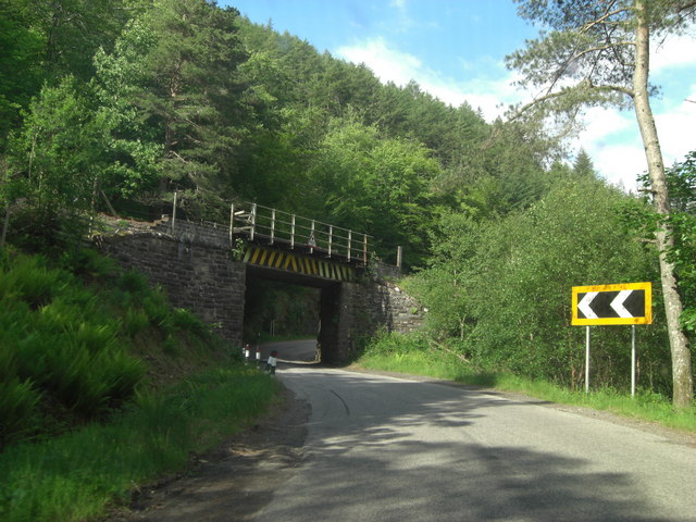
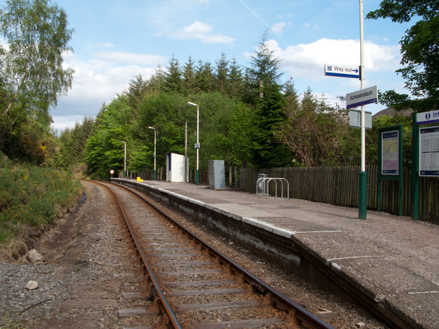
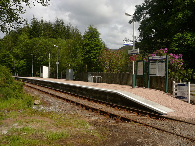
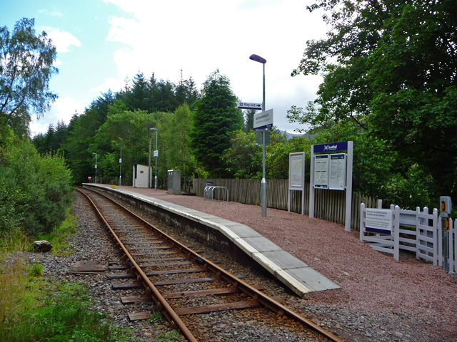
Achnashellach railway station
Achnashellach railway station is a railway station serving Achnashellach on the Kyle of Lochalsh Line, in Wester Ross, Scotland. The station lies between...

Loch Dùghaill
Loch Dùghaill (also anglicised as Loch Doule or Loch Doughaill) is a freshwater tidal loch on the River Carron in Wester Ross, Scotland. The A890 road...
Achnashellach
Achnashellach (Gaelic: Achadh nan Seileach) is an area in Wester Ross in the Highlands of Scotland, and within the Highland council area. It is at the...

Achnashellach Forest
Achnashellach Forest (Scottish Gaelic: Ach nan Seileach field of the willows) is a large area of the Scottish Highlands lying between Glen Carron and Loch...

Balnacra
Balnacra (Scottish Gaelic: Beul-àtha na Crà) is a village in Strathcarron, Ross-Shire, Scotland, roughly seven miles from the village of Lochcarron. It...

Fuar Tholl
Fuar Tholl is a mountain in the highlands of Scotland. The mountain is situated in the Coulin deer forest 21 km SW of Achnasheen in the Wester Ross region...

Sgorr Ruadh
Sgorr Ruadh (Scottish Gaelic: An Sgùrr Ruadh) is a mountain between Strath Carron and Glen Torridon in Wester Ross in the Northwest Highlands of Scotland...

Coulags
Coulags (Scottish Gaelic: Na Cùileagan) is a small hamlet in Glen Carron in Strathcarron, west Ross-shire, Scottish Highlands and is in the Scottish...
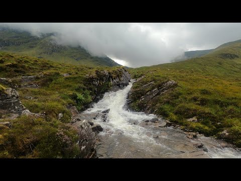
Related Videos

Sgurr na Feartaig Circuit-Hill Walking Scotland-Aerial Footage
A stunning 15 mile hike over two Corbetts Beinn Tharsuinn (Transverse Hill) and Sgurr na Feartaig( Peak of the Sea Pink) in the ...

A Winter Walk in the Coulin Forest
Hannah and I have finally made our move to the Scottish Highlands. Our intention is to spend the first few months here scouting ...
Sgurr Choinnich and Sgurr a'Chaorachain, Achnashellach 14/08/21
Bike and hike to Sgùrr Chòinnich and Sgùrr a'Chaorachain from Craig, near Achnashellach. Music by Amarel ...
Bidein a' Choire Sheasgaich and Lurg Mhor, Achnashellach 22/07/21
Bidein a' Choire Sheasgaich and Lurg Mhòr, from Attadale. Bike and hike. Music by Amarel ...
Nearby Amenities
Located within 500m of 57.479735,-5.3340936Have you been to Achadh na Seileach?
Leave your review of Achadh na Seileach below (or comments, questions and feedback).