Achandunie
Settlement in Ross-shire
Scotland
Achandunie
Achandunie is a small village located in the county of Ross-shire, in the northern part of Scotland. Situated amidst the picturesque Scottish Highlands, this quaint settlement is nestled in a valley along the banks of the River Brahan. The village is encompassed by rolling hills and verdant meadows, offering breathtaking views of the surrounding natural beauty.
With a population of approximately 200 residents, Achandunie is known for its tight-knit community and friendly atmosphere. The village exudes a sense of tranquility and peacefulness, making it an ideal haven for those seeking a serene escape from the bustling city life.
Achandunie boasts a rich history, with evidence of human settlement dating back to ancient times. Visitors can explore the remnants of a nearby Iron Age fort, providing insights into the area's past inhabitants. The village is also home to several historical landmarks, including an old church and a traditional Scottish castle, which add to its cultural heritage.
Nature enthusiasts will find themselves in paradise in Achandunie, as the village offers various outdoor activities. The surrounding area provides ample opportunities for hiking, cycling, and fishing, with numerous trails and rivers to explore. Wildlife is abundant, with deer, birds of prey, and other creatures inhabiting the nearby forests and hills.
Although Achandunie may be small, it offers a peaceful and idyllic lifestyle for its residents and an attractive destination for those seeking a taste of rural Scottish charm.
If you have any feedback on the listing, please let us know in the comments section below.
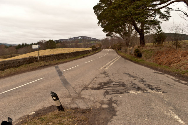
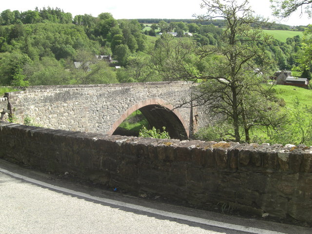
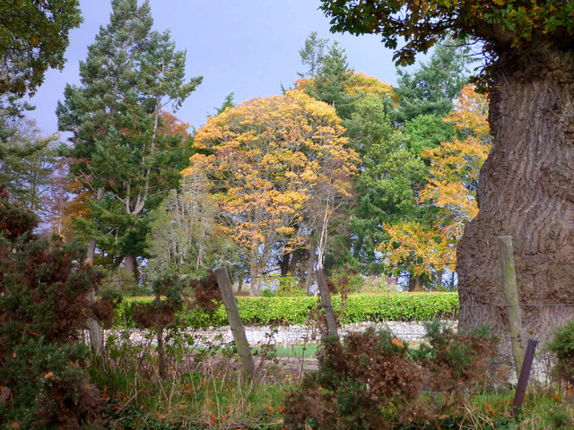
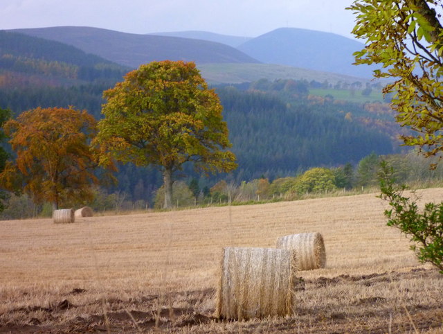
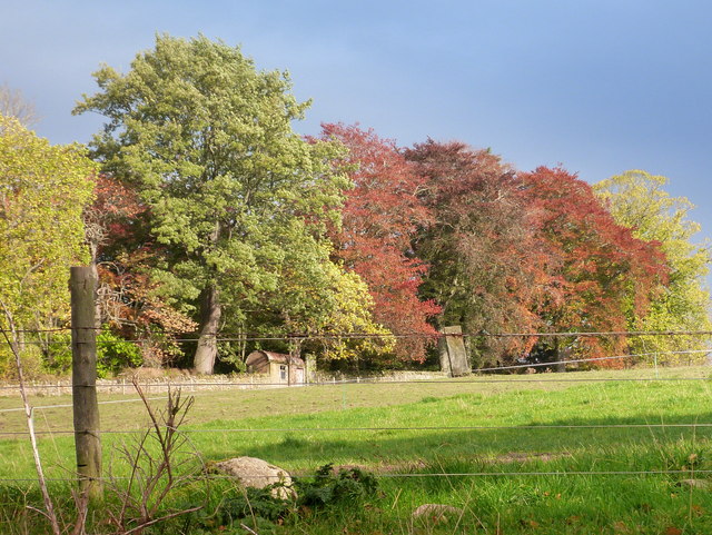
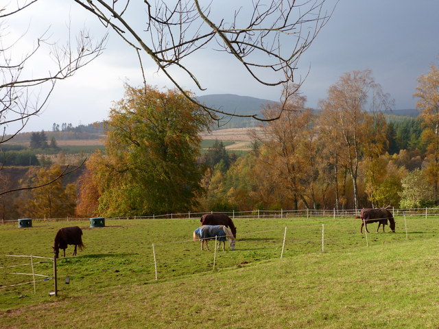
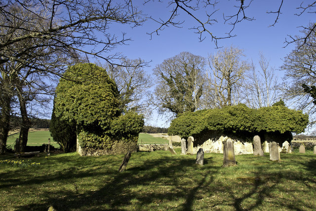
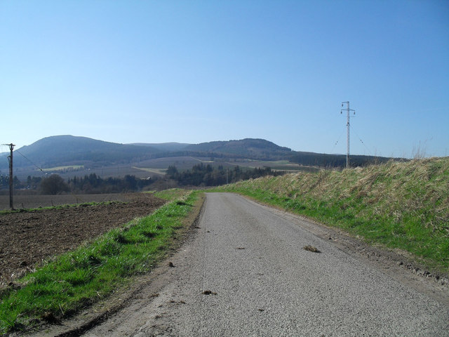
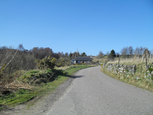
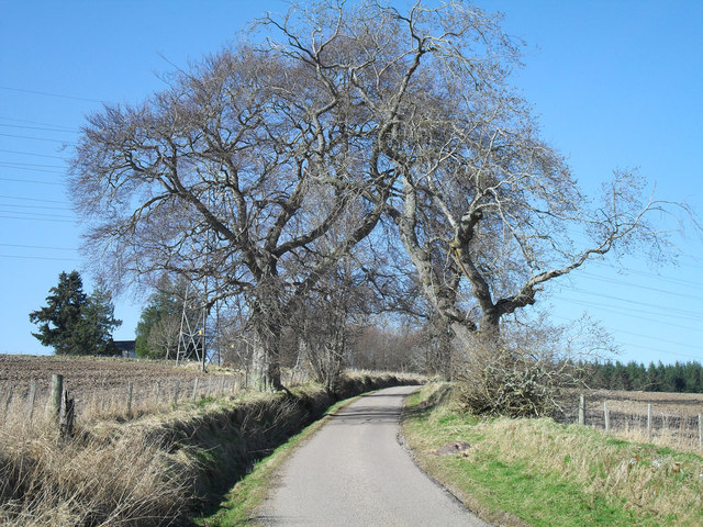
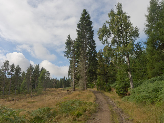
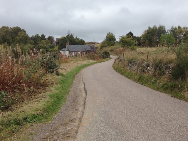
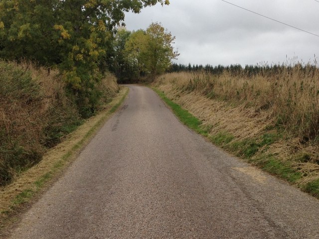
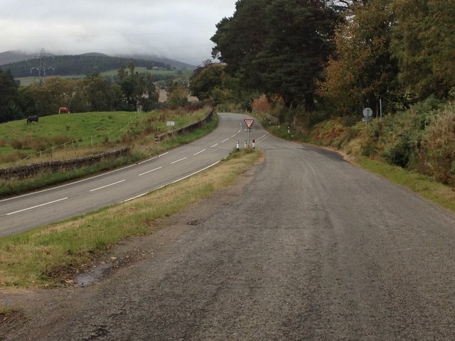
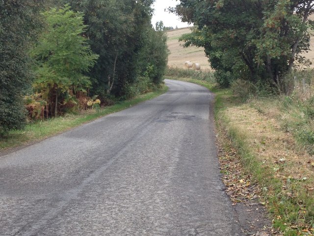
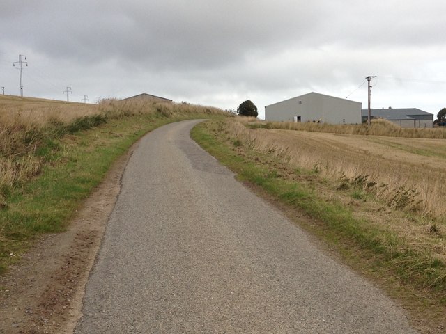
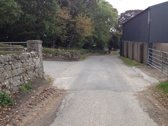
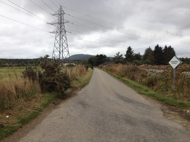
Achandunie Images
Images are sourced within 2km of 57.718395/-4.277199 or Grid Reference NH6472. Thanks to Geograph Open Source API. All images are credited.
Achandunie is located at Grid Ref: NH6472 (Lat: 57.718395, Lng: -4.277199)
Unitary Authority: Highland
Police Authority: Highlands and Islands
What 3 Words
///cakewalk.leopard.florists. Near Alness, Highland
Nearby Locations
Related Wikis


Related Videos
![Road Trip to Highlands - Scotland Dashcam [4K]](https://i.ytimg.com/vi/qn0s4KUyfHA/hqdefault.jpg)
Road Trip to Highlands - Scotland Dashcam [4K]
Buckle up and embark on an epic road trip as we journey from the historic streets of edinburgh to the breathtaking landscapes of ...

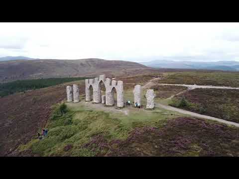
Fyrish Monument in Scotland
All walkers travelling along the A9 in this region will be keen to visit the prominent, strange monument atop the hills north of the ...
Nearby Amenities
Located within 500m of 57.718395,-4.277199Have you been to Achandunie?
Leave your review of Achandunie below (or comments, questions and feedback).