Eas nam Boc
Waterfall in Ross-shire
Scotland
Eas nam Boc
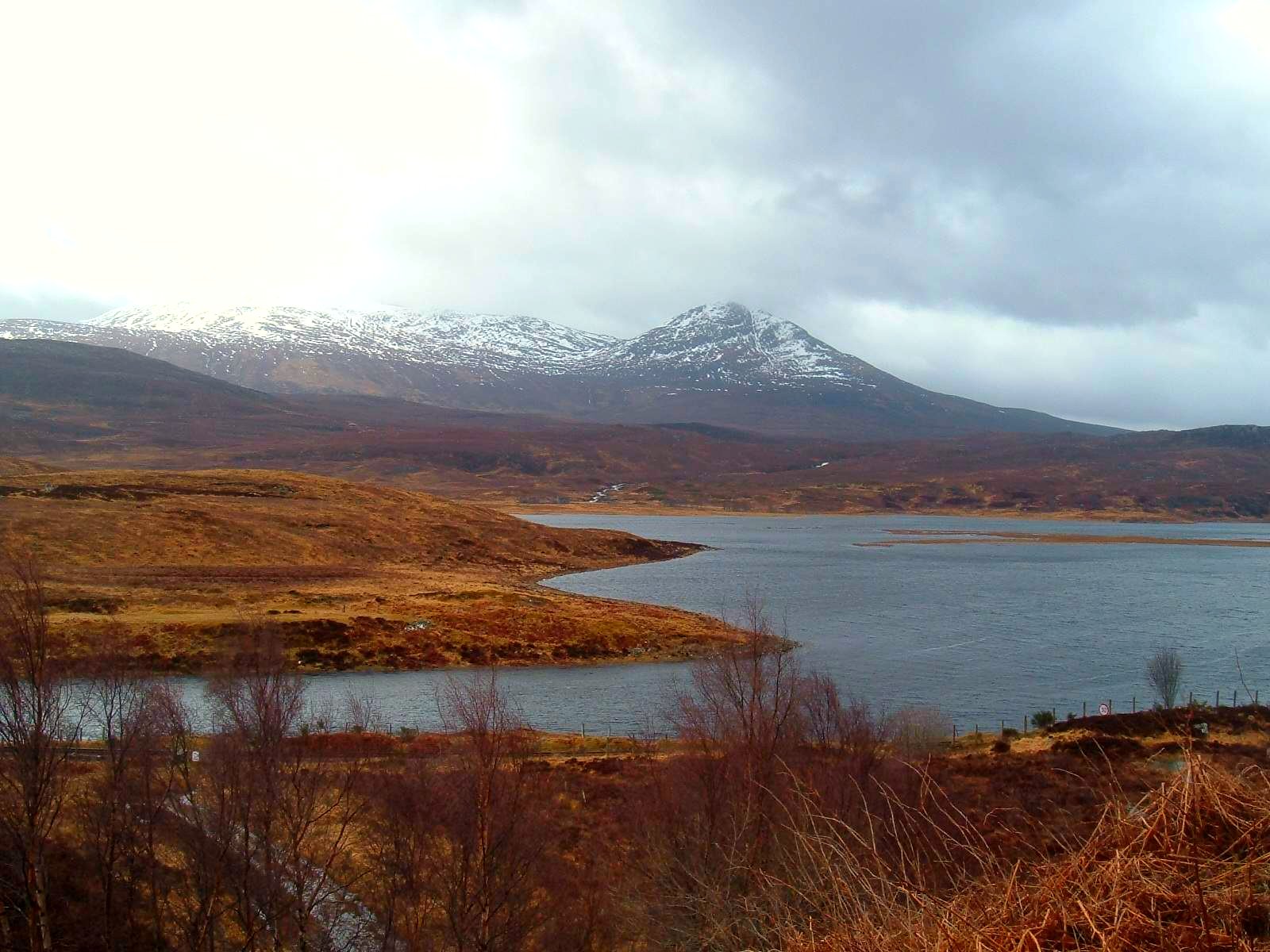
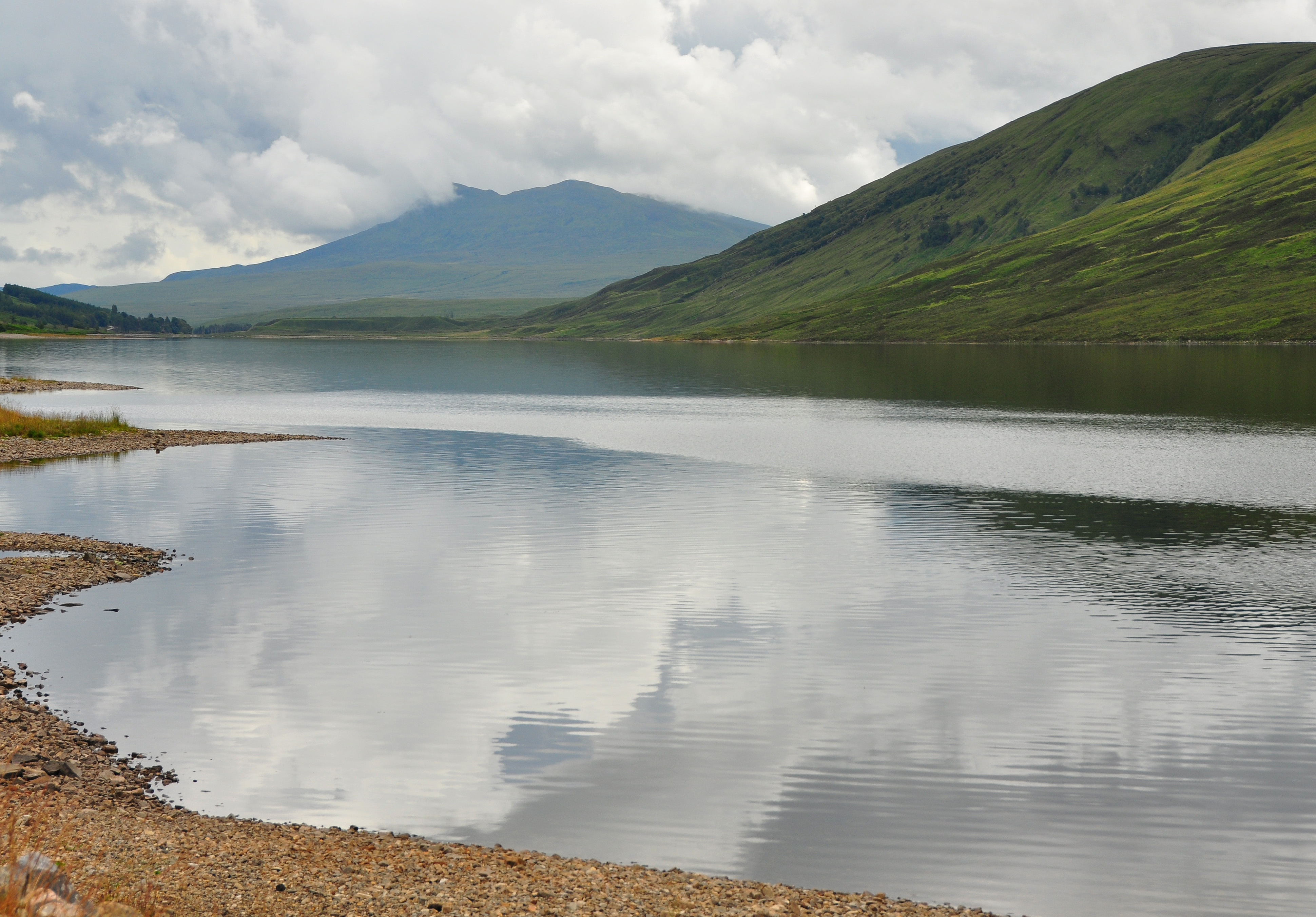
Eas nam Boc, also known as the Boc Waterfall, is a stunning natural attraction located in Ross-shire, Scotland. Situated in the picturesque countryside near the village of Contin, this waterfall is a popular destination for outdoor enthusiasts and nature lovers.
The Boc Waterfall is formed by the cascading waters of the Black Water River as it tumbles down a series of rocky steps. The falls drop approximately 46 feet (14 meters) into a deep pool below, creating a mesmerizing spectacle. The surrounding landscape is characterized by lush greenery, with trees and bushes providing a beautiful backdrop to the waterfall.
Visitors can access Eas nam Boc via a short and relatively easy hike along a well-maintained trail. The path winds through the scenic countryside, offering breathtaking views of the surrounding hills and valleys. Along the way, hikers can also enjoy the peaceful sounds of nature, including the babbling of the river and the chirping of birds.
The Boc Waterfall is not only a sight to behold but also a place of tranquility and serenity. Many visitors find it to be a peaceful retreat, away from the hustle and bustle of everyday life. It offers an opportunity to reconnect with nature, indulge in photography, or simply sit back and appreciate the beauty of the Scottish wilderness.
In conclusion, Eas nam Boc, Ross-shire, is a magnificent waterfall that captivates visitors with its natural charm and scenic surroundings. Whether you are an avid hiker, a nature enthusiast, or simply seeking a moment of tranquility, this waterfall is a must-visit destination in the stunning Scottish countryside.
If you have any feedback on the listing, please let us know in the comments section below.
Eas nam Boc Images
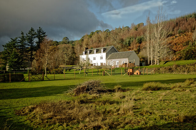
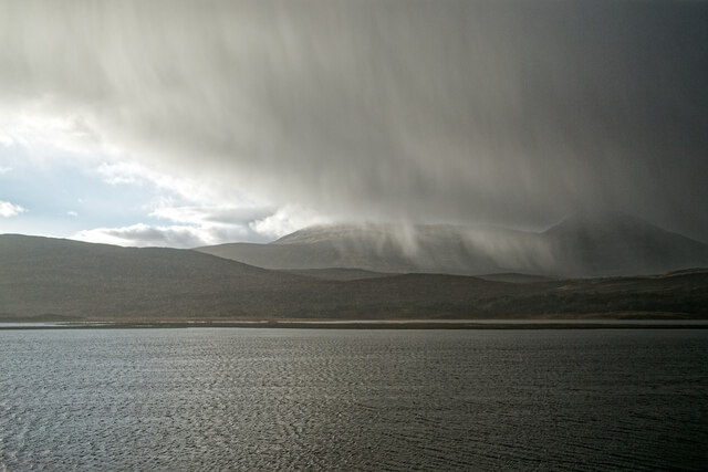
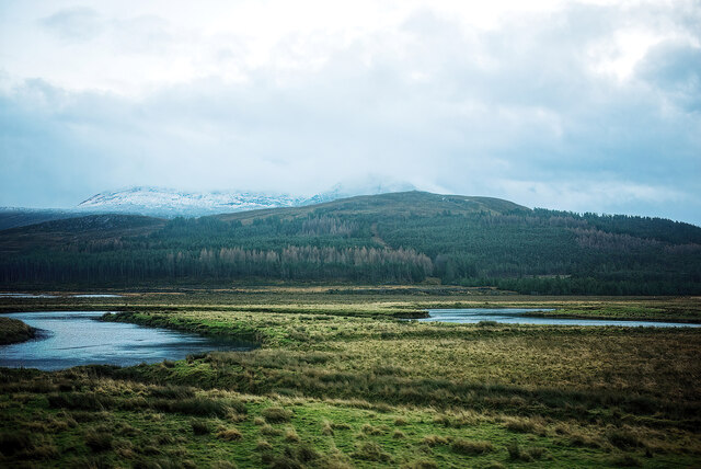
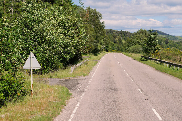
Images are sourced within 2km of 57.611399/-4.9162898 or Grid Reference NH2561. Thanks to Geograph Open Source API. All images are credited.


Eas nam Boc is located at Grid Ref: NH2561 (Lat: 57.611399, Lng: -4.9162898)
Unitary Authority: Highland
Police Authority: Highlands and Islands
What 3 Words
///sapping.steers.blossom. Near Achnasheen, Highland
Nearby Locations
Related Wikis
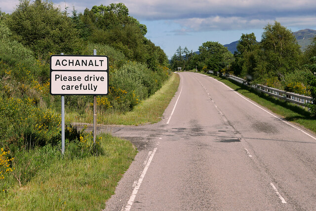
Achanalt
Achanalt (Gaelic: Achadh nan Allt) is a railway halt in Strath Bran, Ross and Cromarty, in the Scottish council area of Highland. It is served by a railway...

Achanalt railway station
Achanalt railway station is a geographically remote railway station on the Kyle of Lochalsh Line, serving the village of Achanalt in the north of Scotland...

Grudie
Grudie (Grùididh in Scottish Gaelic) is a village, situated between Loch a' Chuilinn and Loch Luichart with the River Bran flowing past Grudie east to...
Sgurr a' Mhuilinn
Sgurr a' Mhuilinn (879 m) is a mountain in Highland, Scotland. It lies in a remote location in the Northwest Highlands, approximately 40 miles (64 km)...
Nearby Amenities
Located within 500m of 57.611399,-4.9162898Have you been to Eas nam Boc?
Leave your review of Eas nam Boc below (or comments, questions and feedback).