Càrn Mòr
Island in Sutherland
Scotland
Càrn Mòr
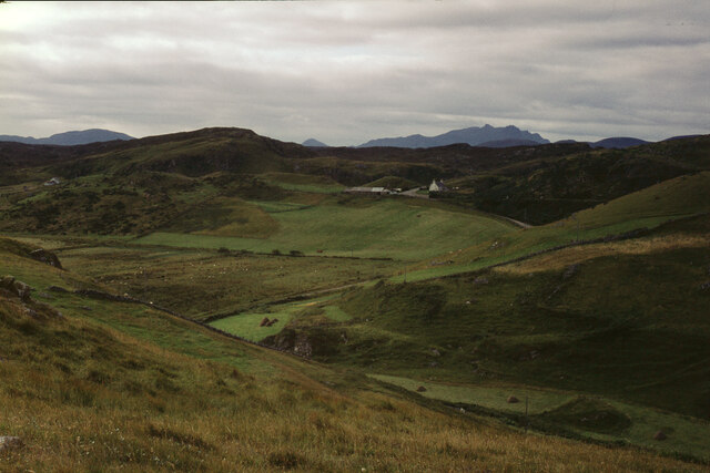
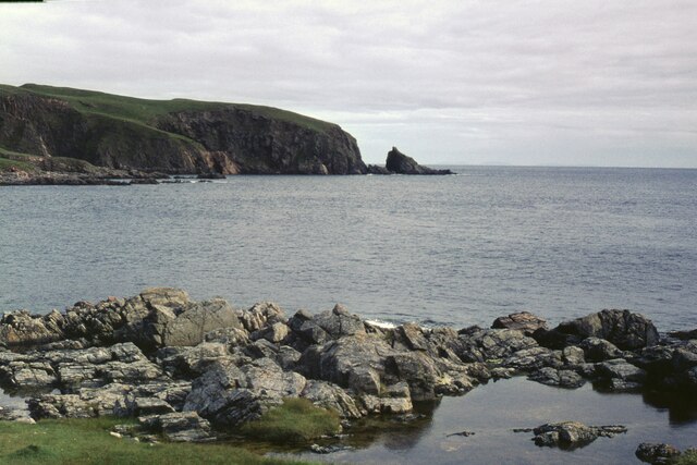
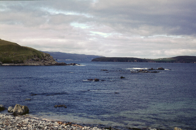
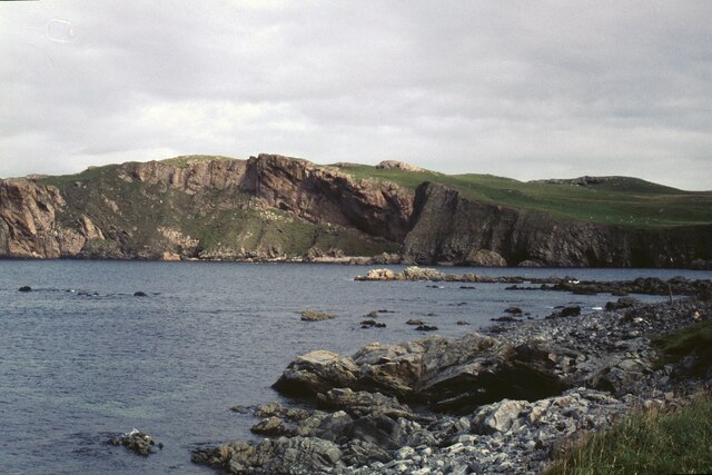
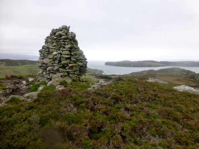
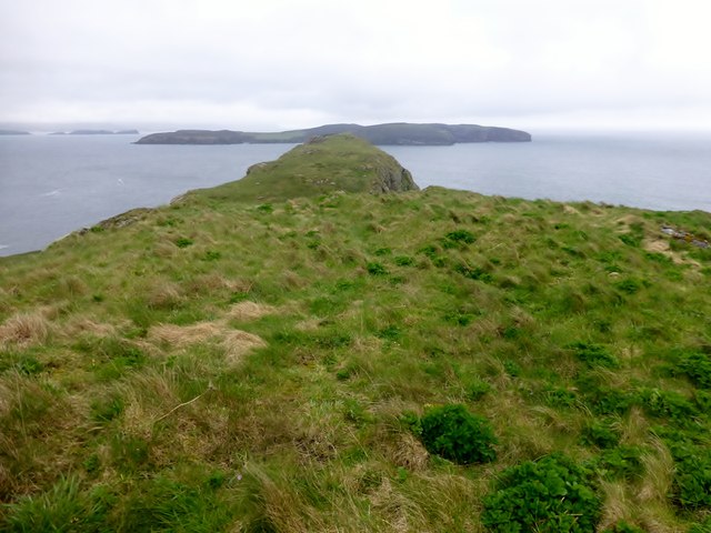
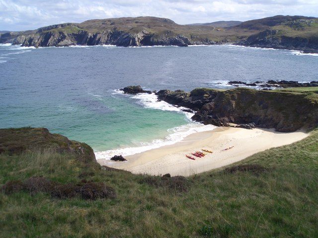
Càrn Mòr is a mountain located in the region of Sutherland, Scotland. Known for its stunning natural beauty and rugged terrain, it is a popular destination for hikers and outdoor enthusiasts. Standing at an elevation of 804 meters (2,638 feet), Càrn Mòr offers breathtaking panoramic views of the surrounding landscape, including the nearby Kyle of Tongue and the North Atlantic Ocean.
Situated in the northwest Highlands, Càrn Mòr is part of a mountain range known as the Ben Loyal group. The mountain is characterized by its steep slopes, rocky outcrops, and extensive scree slopes, which present a challenge for climbers. However, the reward of reaching the summit is well worth the effort, as it provides a unique vantage point to admire the vast and untamed Scottish Highlands.
Càrn Mòr is also home to a diverse range of flora and fauna, including various species of heather, moss, and wildflowers. The mountain provides a habitat for several bird species, such as ptarmigans and golden eagles, as well as mammals like red deer and mountain hares.
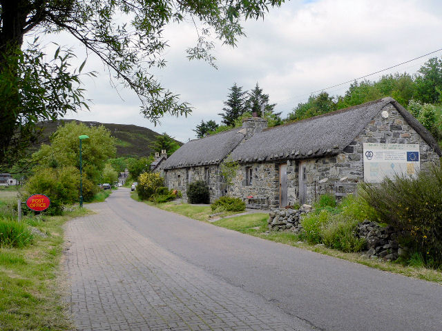
Hiking trails are available for visitors to explore Càrn Mòr, with the most popular route starting from the village of Tongue. The ascent can be challenging, particularly in inclement weather, so it is advisable for hikers to be well-prepared and equipped with appropriate clothing and supplies.
Overall, Càrn Mòr offers a captivating and rewarding experience for those seeking to immerse themselves in the untamed beauty of the Scottish Highlands.
If you have any feedback on the listing, please let us know in the comments section below.
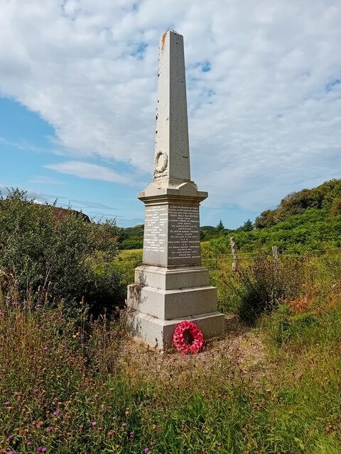
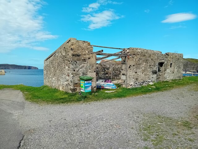
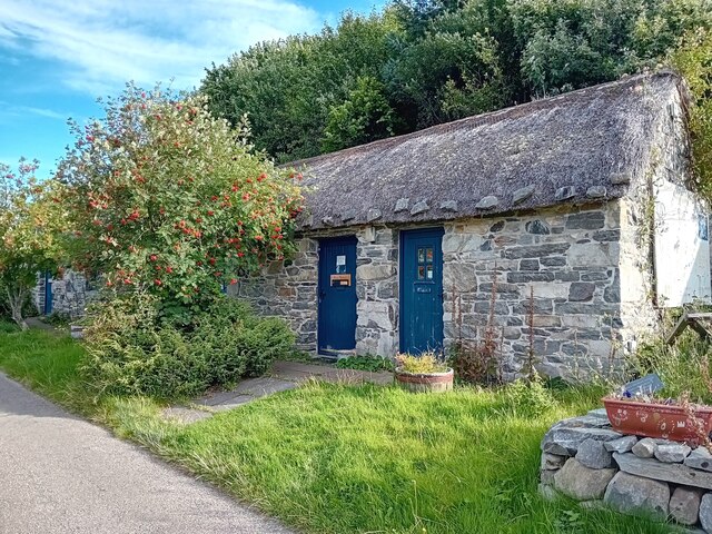
Càrn Mòr Images
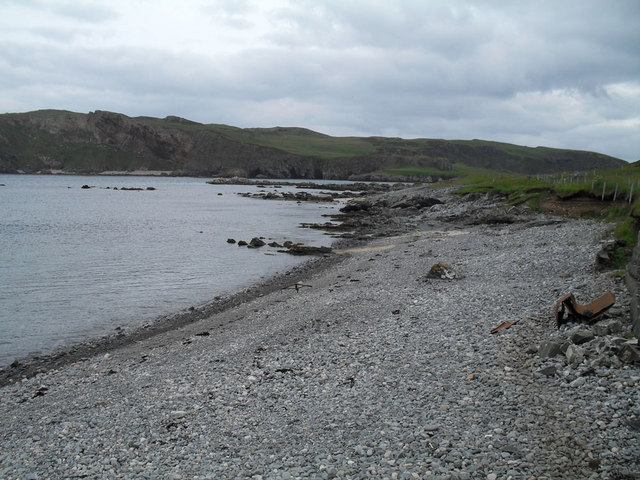
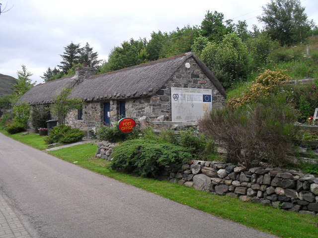
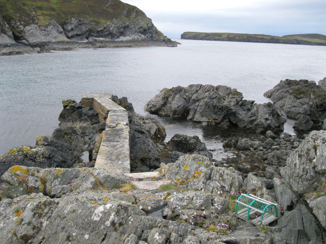
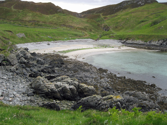
Images are sourced within 2km of 58.543366/-4.3023087 or Grid Reference NC6663. Thanks to Geograph Open Source API. All images are credited.
Càrn Mòr is located at Grid Ref: NC6663 (Lat: 58.543366, Lng: -4.3023087)
Unitary Authority: Highland
Police Authority: Highlands and Islands
What 3 Words
///paramedic.bearable.update. Near Altnaharra, Highland
Nearby Locations
Related Wikis
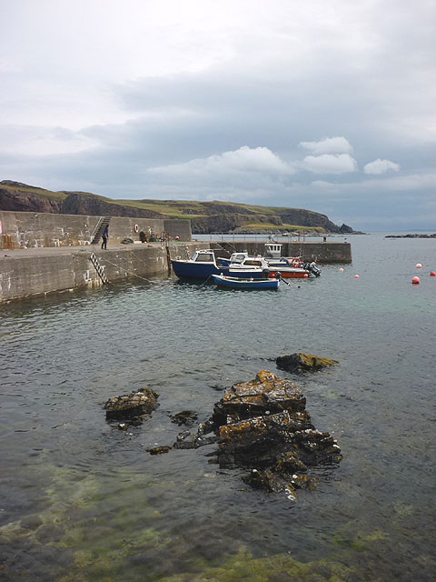
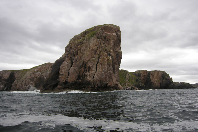
Skerray Bay
Skerray Bay is an arm of the Atlantic Ocean, located on the north coast of Sutherland, Highland, Scotland. Small and rocky, it is situated to the north...

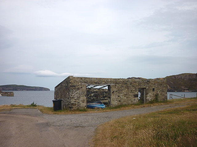
Neave Island
Neave Island (Scottish Gaelic: Eilean na Naoimh, "Isle of the Saint") or Coomb(e) Island is an island on the north coast of the Scottish mainland. Neave...

Skerray
Skerray (Scottish Gaelic: Sgeirea) is a remote small crofting hamlet and fishing port on the north coast of Sutherland, Scotland. It is located 7+3⁄4 miles...
Achtoty
Achtoty (Scottish Gaelic: Achadh Toitidh) is a remote hamlet in the Scottish Highland Council area. Achtoty is about 26 miles (42 km) west of Thurso....
Nearby Amenities
Located within 500m of 58.543366,-4.3023087Have you been to Càrn Mòr?
Leave your review of Càrn Mòr below (or comments, questions and feedback).