Cnoc nan Uan
Hill, Mountain in Sutherland
Scotland
Cnoc nan Uan
Cnoc nan Uan is a prominent hill located in the region of Sutherland, in the northern part of Scotland. With an elevation of approximately 646 meters (2,119 feet), it is classified as a Marilyn, which denotes any hill or mountain in the United Kingdom with a prominence of at least 150 meters (492 feet).
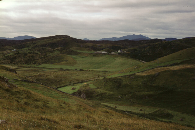
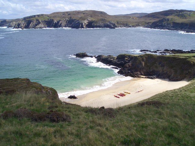
Situated in the remote and picturesque landscape of Sutherland, Cnoc nan Uan offers stunning panoramic views of the surrounding area. Its location within the Highland region provides visitors with an opportunity to experience the natural beauty and tranquility of the Scottish countryside.
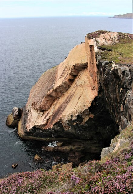
The hill is characterized by its rugged terrain, which consists of heather-covered slopes and rocky outcrops. It is a popular destination for hillwalkers and hikers, who are drawn to the challenge and beauty of the ascent. The climb to the summit is moderately difficult, requiring a reasonable level of fitness and navigation skills.
Reaching the top of Cnoc nan Uan rewards visitors with breathtaking vistas across the surrounding countryside, including views of nearby mountains, moorland, and lochs. On a clear day, it is possible to see as far as the North Sea and the Orkney Islands.
Overall, Cnoc nan Uan offers outdoor enthusiasts a chance to immerse themselves in the rugged and unspoiled landscape of Sutherland, while also providing an opportunity to appreciate the natural beauty and tranquility of the Scottish Highlands.
If you have any feedback on the listing, please let us know in the comments section below.
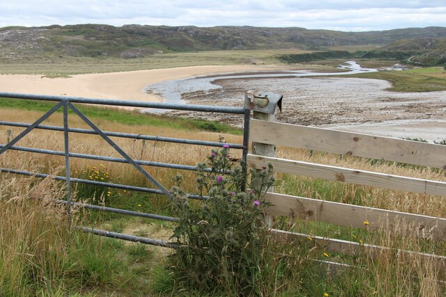
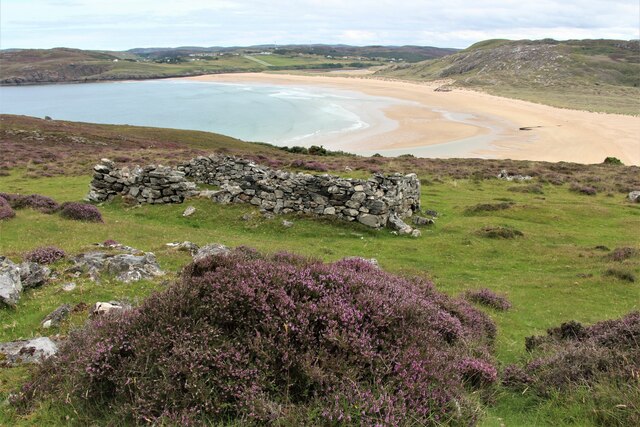
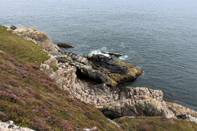
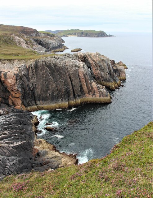
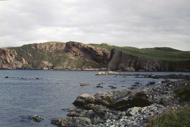
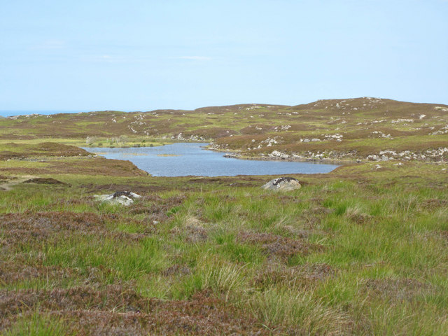
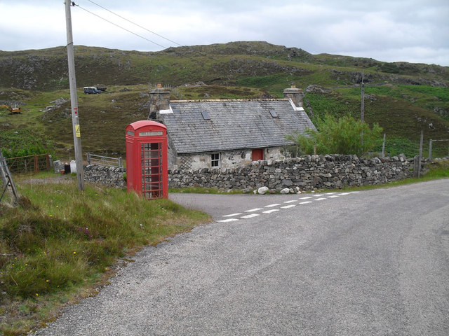
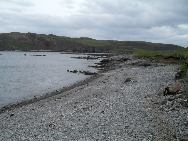
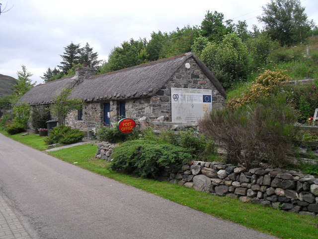
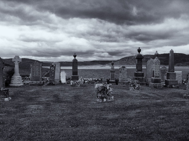
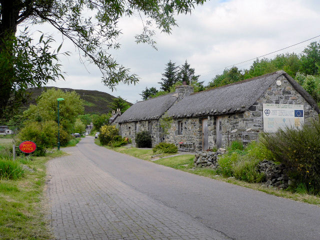
Cnoc nan Uan Images
Images are sourced within 2km of 58.536323/-4.2912288 or Grid Reference NC6663. Thanks to Geograph Open Source API. All images are credited.
Cnoc nan Uan is located at Grid Ref: NC6663 (Lat: 58.536323, Lng: -4.2912288)
Unitary Authority: Highland
Police Authority: Highlands and Islands
What 3 Words
///knowledge.evoked.snippets. Near Altnaharra, Highland
Nearby Locations
Related Wikis

Skerray
Skerray (Scottish Gaelic: Sgeirea) is a remote small crofting hamlet and fishing port on the north coast of Sutherland, Scotland. It is located 7+3⁄4 miles...
Achtoty
Achtoty (Scottish Gaelic: Achadh Toitidh) is a remote hamlet in the Scottish Highland Council area. Achtoty is about 26 miles (42 km) west of Thurso....
Skerray Bay
Skerray Bay is an arm of the Atlantic Ocean, located on the north coast of Sutherland, Highland, Scotland. Small and rocky, it is situated to the north...

Neave Island
Neave Island (Scottish Gaelic: Eilean na Naoimh, "Isle of the Saint") or Coomb(e) Island is an island on the north coast of the Scottish mainland. Neave...

Torrisdale, Sutherland
Torrisdale is a remote hamlet on the western shore of Torrisdale Bay in Sutherland, Highland, on the north coast of Scotland. It is 3 kilometres (2 mi...

Eilean nan Ròn
Eilean nan Ròn (Scottish Gaelic: island of the seals) is an island near Skerray, in the north of Sutherland, Scotland. An estimated 350 seal pups are born...

Baile Mhargaite (Sandy Dun)
Baile Mhargaite (also known as Lochan Druim An Duin, the Sandy Dun, or Invernaver Broch) is an Iron Age broch in Strathnaver, Sutherland. It is a scheduled...

Bettyhill
Bettyhill (Scottish Gaelic: Am Blàran Odhar) is a village in the parish of Farr, on the north coast of Scotland.Bettyhill lies on the A836 road 32 miles...
Nearby Amenities
Located within 500m of 58.536323,-4.2912288Have you been to Cnoc nan Uan?
Leave your review of Cnoc nan Uan below (or comments, questions and feedback).