Port an Fheadairigaig

Bay in Sutherland

Scotland

Port an Fheadairigaig

A ruin with a view, Torrisdale Bay
A ruin with a view, Torrisdale Bay Credit: Alan Reid

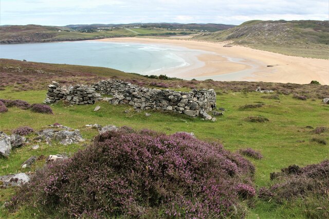
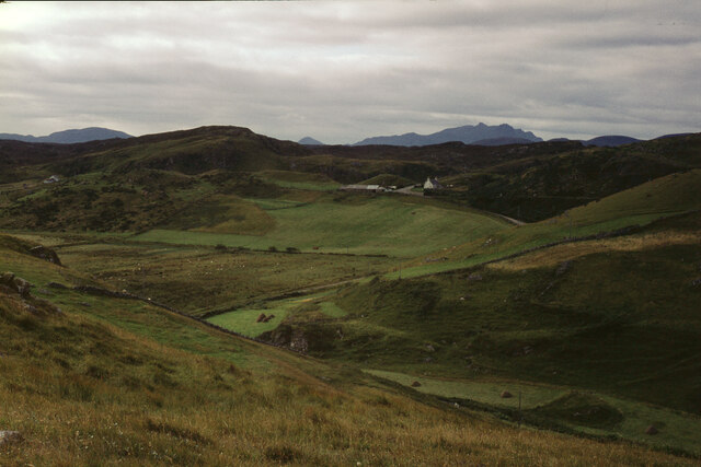
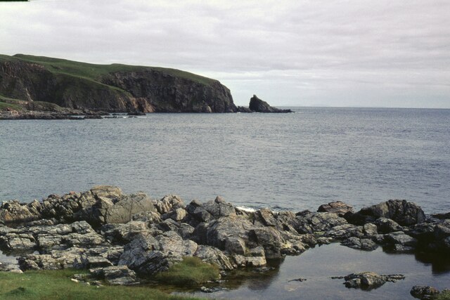
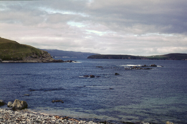
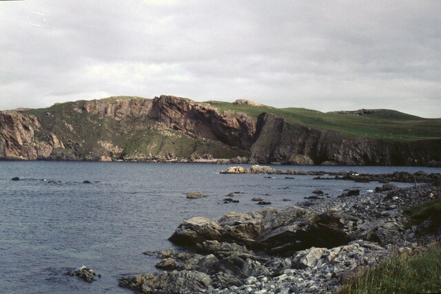
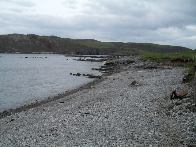
Port an Fheadairigaig, also known as Bay of Feadairigaig, is a picturesque coastal area located in the county of Sutherland, in the Highland region of Scotland. Situated on the northern coast, the bay is nestled between the villages of Scourie and Kinlochbervie.

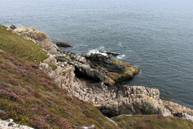
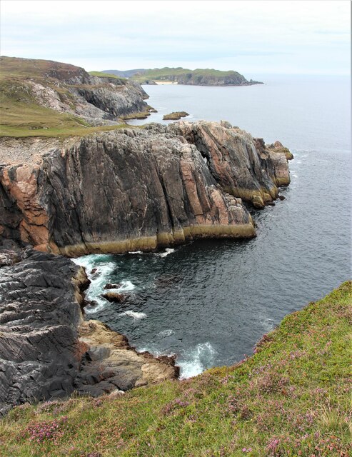
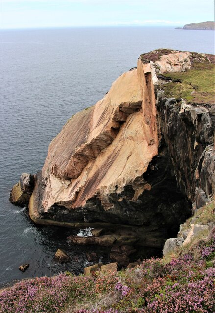
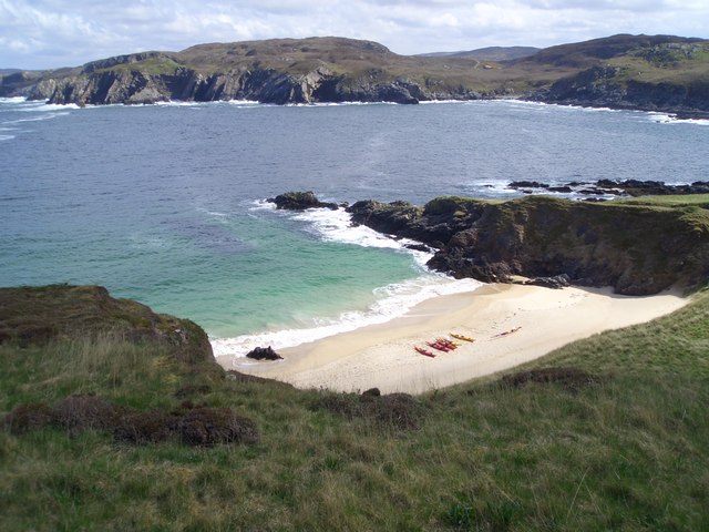
The bay is characterized by its stunning natural beauty, with rugged cliffs, golden sandy beaches, and crystal-clear turquoise waters. The area is surrounded by rolling hills and moorland, providing a dramatic backdrop to the bay. The bay is also famous for its diverse wildlife, with seals, otters, and various species of seabirds frequently spotted in the area.

Port an Fheadairigaig is a popular destination for outdoor enthusiasts and nature lovers. The bay offers numerous opportunities for activities such as hiking, bird watching, fishing, and beachcombing. The nearby coastal path provides breathtaking views and is a perfect spot for leisurely walks.

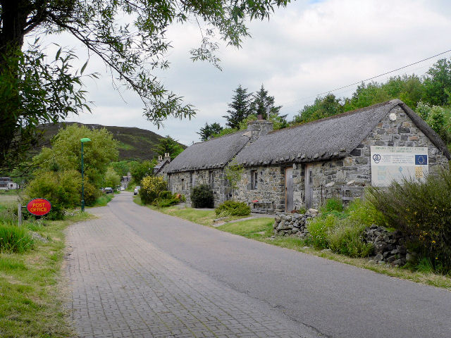
Despite its remote location, the bay is easily accessible by car, with a small parking area available for visitors. There are also a few cottages and guesthouses in the surrounding area, offering accommodation options for those wishing to stay longer and explore the region further.

Overall, Port an Fheadairigaig is a hidden gem on Scotland's northern coast, offering visitors a chance to experience the unspoiled beauty of the Scottish Highlands. Its stunning landscapes, rich wildlife, and tranquil atmosphere make it a must-visit destination for those seeking an escape from the hustle and bustle of everyday life.

If you have any feedback on the listing, please let us know in the comments section below.

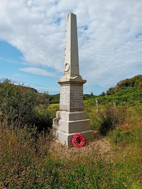
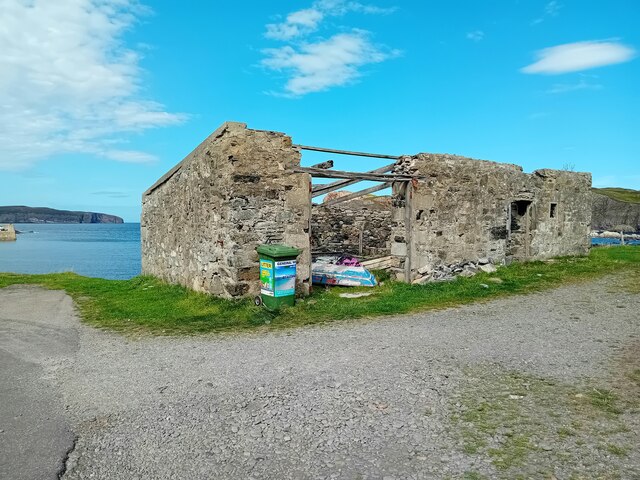
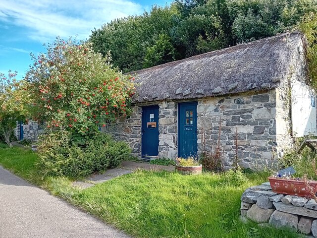
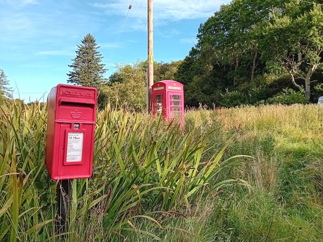
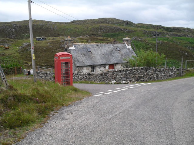
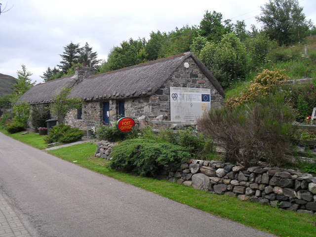
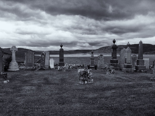
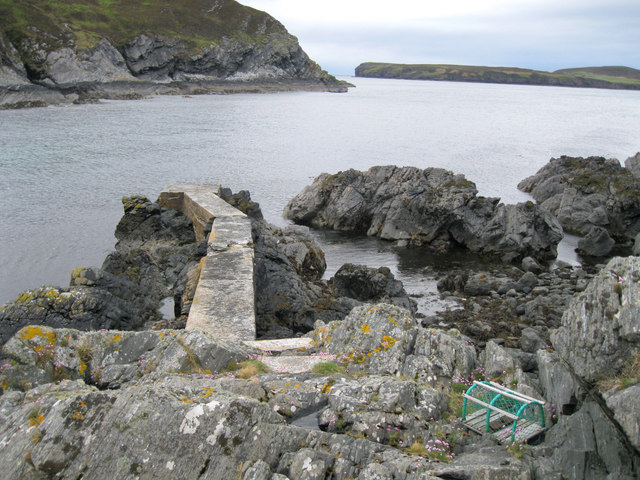
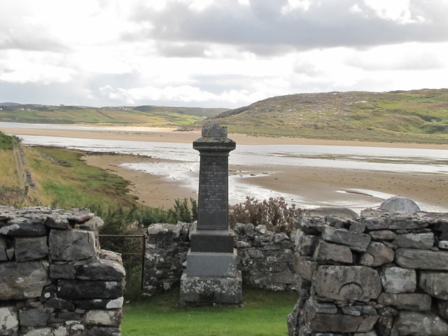
Port an Fheadairigaig Images

Images are sourced within 2km of 58.540802/-4.2899403 or Grid Reference NC6663. Thanks to Geograph Open Source API. All images are credited.

A ruin with a view, Torrisdale Bay
Twisted rocks at Aird Torrisdale
Coastal cliffs at Aird Torrisdale The distant sandy beach is on Neave, an island off Skerray.
Coastal cliffs at Aird Torrisdale
The distant sandy beach is on Neave, an island off Skerray.
Coastal erosion at Aird Torrisdale A large rock slip, but how long ago did it occur?  Was it the result of an earth tremor or simply the erosive forces of sea and weather?
Coastal erosion at Aird Torrisdale
A large rock slip, but how long ago did it occur? Was it the result of an earth tremor or simply the erosive forces of sea and weather?
Skerray War Memorial Unveiled and dedicated in 1922.
Skerray War Memorial
Unveiled and dedicated in 1922.
Old Store, Skerray The ruin of the old store at Skerray.
Old Store, Skerray
The ruin of the old store at Skerray.
Skerray Post Office Village Post Office in a nicely restored building.
Skerray Post Office
Village Post Office in a nicely restored building.
Postbox at Skerray KW14 32. Royal Mail list this box as 'Skerray'.
Postbox at Skerray
KW14 32. Royal Mail list this box as 'Skerray'.
The hamlet of Skerray Looking south-south-west towards Ben Loyal.
The hamlet of Skerray
Looking south-south-west towards Ben Loyal.
Stac an Fhamhair A small stack, perhaps 15m high, at the east end of Neave (or Coomb) Island, seen across Caol Beag.
Stac an Fhamhair
A small stack, perhaps 15m high, at the east end of Neave (or Coomb) Island, seen across Caol Beag.
Skerray Bay Not a bay I would be very happy to navigate into (although there is, or was, a pier on the far side, just out of shot on the left).

The southern part of Eilean nan Ron is beyond the bay, with a few deserted houses visible.
Skerray Bay
Not a bay I would be very happy to navigate into (although there is, or was, a pier on the far side, just out of shot on the left). The southern part of Eilean nan Ron is beyond the bay, with a few deserted houses visible.
Neave or Coomb Island The central part of the island seen at close range (but still across a gridline!) across Caol Beag.
Neave or Coomb Island
The central part of the island seen at close range (but still across a gridline!) across Caol Beag.
Phonebox near Skerray
Stony beach at Skerray
Skerray Post Office
Skerray Post Office
Graveyard at Skerray
Old jetty in Lamigo Bay The relatively new creel on the rocks indicates that the jetty is still in use, although no boat was visible at this time.
Old jetty in Lamigo Bay
The relatively new creel on the rocks indicates that the jetty is still in use, although no boat was visible at this time.
River Borgie Estuary Viewed from the cemetery, the River Borgie flows out into the Torrisdale Bay.
River Borgie Estuary
Viewed from the cemetery, the River Borgie flows out into the Torrisdale Bay.
Show me another place!

Port an Fheadairigaig is located at Grid Ref: NC6663 (Lat: 58.540802, Lng: -4.2899403)

Unitary Authority: Highland

Police Authority: Highlands and Islands

What 3 Words

///quoted.recent.stunning. Near Reay, Highland

Related Wikis

Neave Island

Neave Island (Scottish Gaelic: Eilean na Naoimh, "Isle of the Saint") or Coomb(e) Island is an island on the north coast of the Scottish mainland. Neave...

Skerray Bay

Skerray Bay is an arm of the Atlantic Ocean, located on the north coast of Sutherland, Highland, Scotland. Small and rocky, it is situated to the north...

Achtoty

Achtoty (Scottish Gaelic: Achadh Toitidh) is a remote hamlet in the Scottish Highland Council area. Achtoty is about 26 miles (42 km) west of Thurso....

Skerray

Skerray (Scottish Gaelic: Sgeirea) is a remote small crofting hamlet and fishing port on the north coast of Sutherland, Scotland. It is located 7+3⁄4 miles...

Nearby Amenities

Located within 500m of 58.540802,-4.2899403
Source: PGS
Lat/Long: 58.5407384/-4.2817879
Source: PGS
Lat/Long: 58.5408504/-4.2821656
Source: PGS
Lat/Long: 58.540321/-4.2827025
Source: PGS
Lat/Long: 58.5404254/-4.2830673
Source: PGS
Lat/Long: 58.5404212/-4.283673
Source: PGS
Lat/Long: 58.5399755/-4.2842663
Source: PGS
Lat/Long: 58.5400757/-4.2855403
Source: PGS
Lat/Long: 58.5403733/-4.2861213
Source: PGS
Lat/Long: 58.5408588/-4.2871673
Source: PGS
Lat/Long: 58.5408616/-4.2875783
Source: PGS
Lat/Long: 58.5404358/-4.2880434
Source: PGS
Lat/Long: 58.5404201/-4.288602
Source: PGS
Lat/Long: 58.5404702/-4.288948
Source: PGS
Lat/Long: 58.5404912/-4.2895118
Source: PGS
Lat/Long: 58.5398414/-4.2898691
Source: PGS
Lat/Long: 58.5396168/-4.2902671
Source: PGS
Lat/Long: 58.539464/-4.2907606
Source: PGS
Lat/Long: 58.5400707/-4.2911394
Source: PGS
Lat/Long: 58.5402692/-4.2914468
Source: PGS
Lat/Long: 58.5403112/-4.291436
Source: PGS
Lat/Long: 58.5405721/-4.2919204
Source: PGS
Lat/Long: 58.5405732/-4.2920068
Source: PGS
Lat/Long: 58.5407793/-4.2922198
Source: PGS
Lat/Long: 58.540999/-4.2927417
Source: PGS
Lat/Long: 58.5412754/-4.2939117
Source: PGS
Lat/Long: 58.5413028/-4.2941933
Source: PGS
Lat/Long: 58.5413974/-4.2943419
Source: PGS
Lat/Long: 58.5413493/-4.294049
Source: PGS
Lat/Long: 58.5413918/-4.2934418
Source: PGS
Lat/Long: 58.5416539/-4.2952539
Source: PGS
Lat/Long: 58.5419375/-4.2960891
Source: PGS
Lat/Long: 58.5425013/-4.2973154
Source: PGS
Lat/Long: 58.5424719/-4.2974184
Source: PGS
Lat/Long: 58.5425561/-4.2974061
The data included in this document is from www.openstreetmap.org. The data is made available under ODbL.

Have you been to Port an Fheadairigaig?

Leave your review of Port an Fheadairigaig below (or comments, questions and feedback).