Dial Hill

Hill, Mountain in Sutherland

Scotland

Dial Hill

Twisted rocks at Aird Torrisdale
Twisted rocks at Aird Torrisdale Credit: Alan Reid

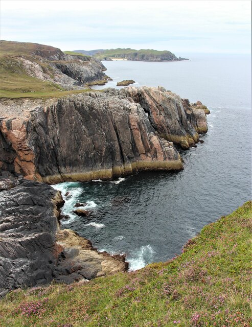
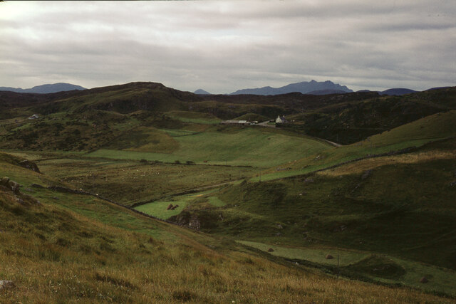
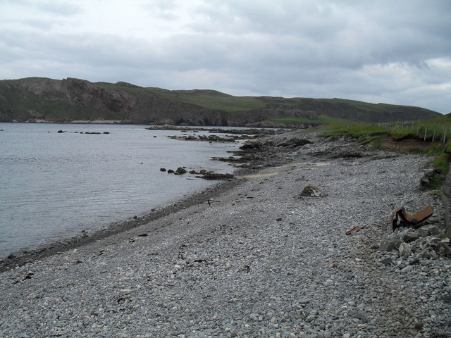
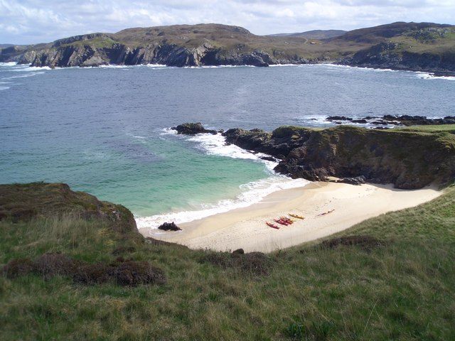
Dial Hill is a prominent hill located in the county of Sutherland, in the northern part of Scotland. Standing at an elevation of approximately 134 meters (440 feet), it is considered more of a hill than a mountain. It is situated near the town of Helmsdale and overlooks the North Sea, offering stunning panoramic views of the surrounding landscape.

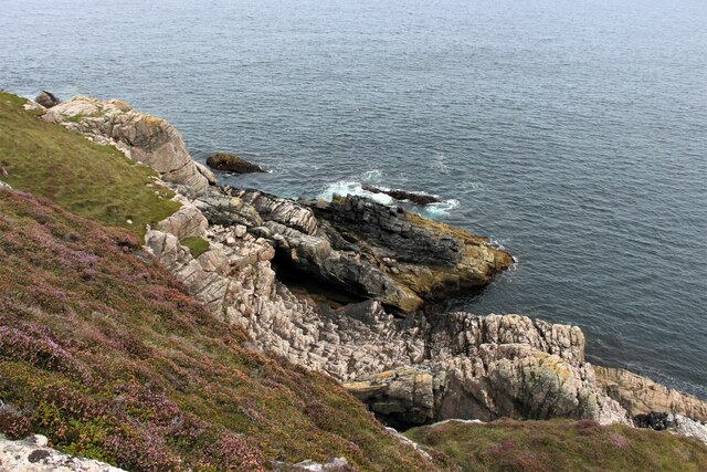
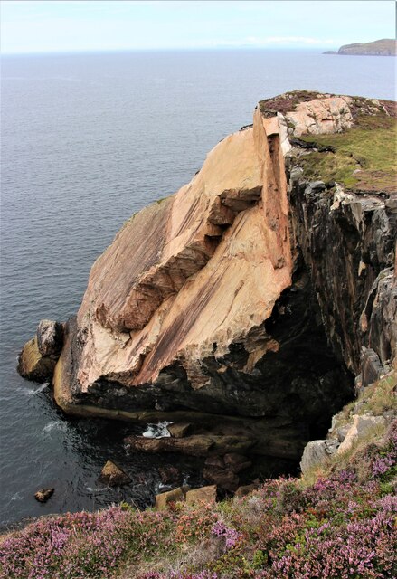
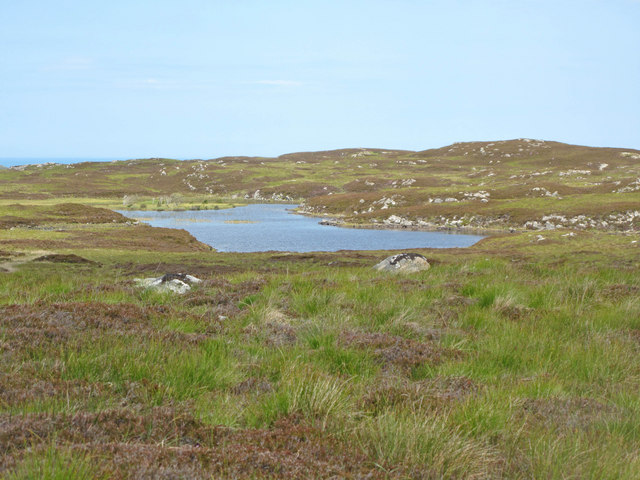
Dial Hill is characterized by its distinct conical shape, which makes it easily recognizable from a distance. The hill is covered with heather and grass, creating a picturesque landscape that changes color with the seasons. It is a popular destination for hikers and nature enthusiasts, who are attracted by its relatively easy ascent and the breathtaking vistas it offers from the summit.

The hill is also of historical significance, as it is home to the remains of an Iron Age hill fort. These remains consist of a circular earthwork enclosure, which once served as a defensive structure for the ancient inhabitants of the area. The fort's location on the hill provided strategic advantages, allowing its occupants to have a commanding view of the surrounding countryside.

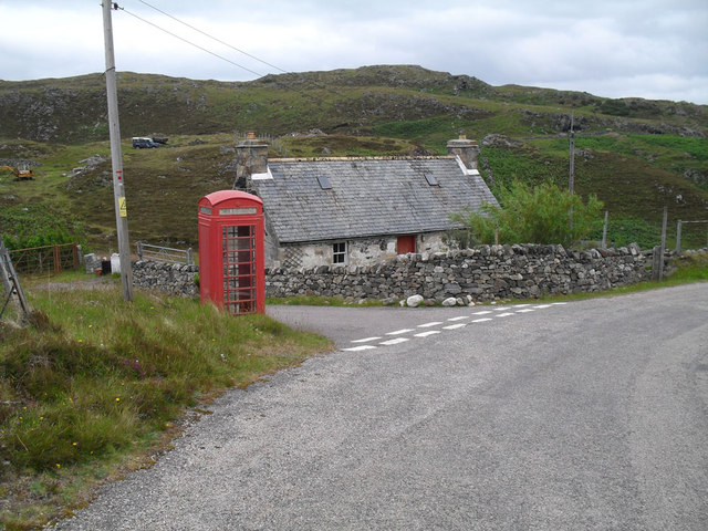
Dial Hill is easily accessible, with various footpaths and trails leading to its summit. The ascent is not particularly challenging, making it suitable for walkers of all abilities. Its close proximity to Helmsdale means that amenities such as parking, accommodation, and refreshments are readily available for visitors.

Overall, Dial Hill offers a perfect combination of natural beauty, historical significance, and accessibility, making it a must-visit destination for anyone exploring the scenic landscapes of Sutherland.

If you have any feedback on the listing, please let us know in the comments section below.
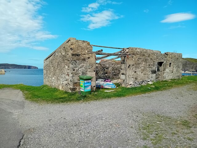
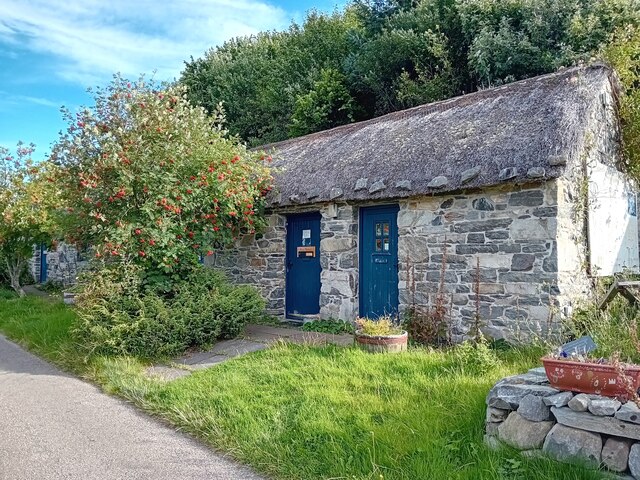
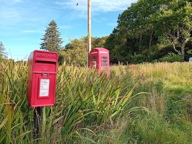
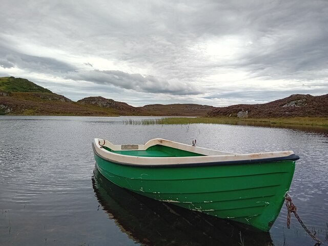
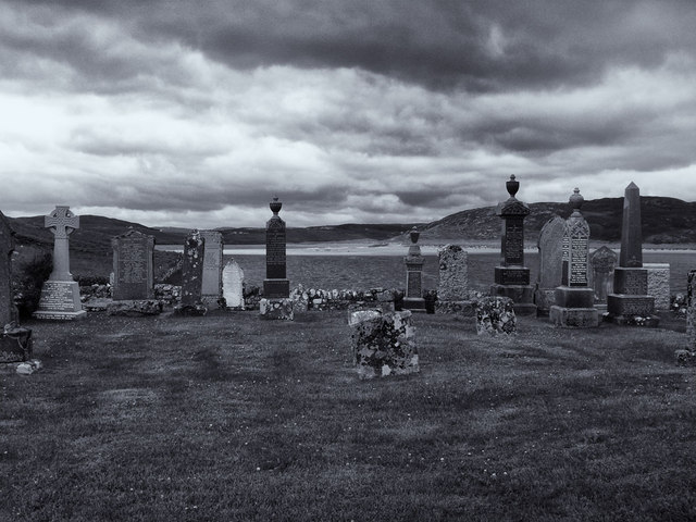
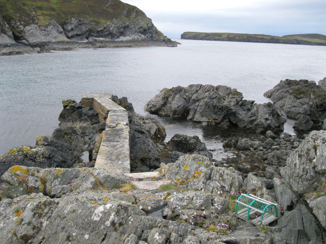
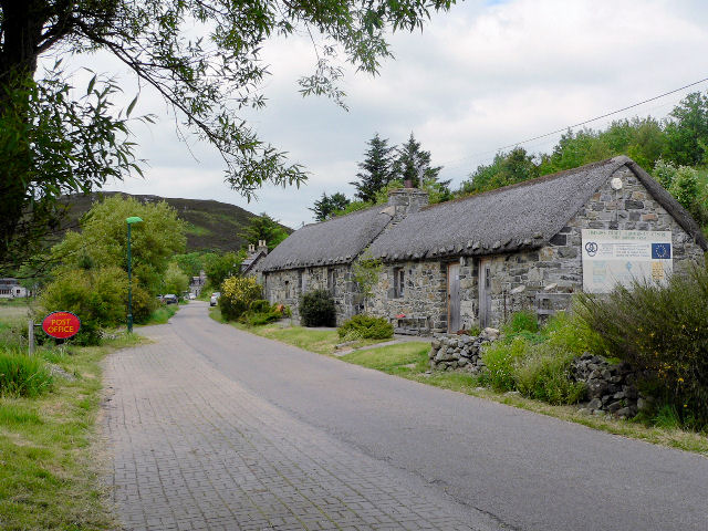
Dial Hill Images

Images are sourced within 2km of 58.534718/-4.3010886 or Grid Reference NC6663. Thanks to Geograph Open Source API. All images are credited.

Twisted rocks at Aird Torrisdale
Coastal cliffs at Aird Torrisdale The distant sandy beach is on Neave, an island off Skerray.
Coastal cliffs at Aird Torrisdale
The distant sandy beach is on Neave, an island off Skerray.
Coastal erosion at Aird Torrisdale A large rock slip, but how long ago did it occur?  Was it the result of an earth tremor or simply the erosive forces of sea and weather?
Coastal erosion at Aird Torrisdale
A large rock slip, but how long ago did it occur? Was it the result of an earth tremor or simply the erosive forces of sea and weather?
Skerray War Memorial Unveiled and dedicated in 1922.
Skerray War Memorial
Unveiled and dedicated in 1922.
Old Store, Skerray The ruin of the old store at Skerray.
Old Store, Skerray
The ruin of the old store at Skerray.
Skerray Post Office Village Post Office in a nicely restored building.
Skerray Post Office
Village Post Office in a nicely restored building.
Postbox at Skerray KW14 32. Royal Mail list this box as 'Skerray'.
Postbox at Skerray
KW14 32. Royal Mail list this box as 'Skerray'.
Loch Modsarie
Loch Modsarie
The hamlet of Skerray Looking south-south-west towards Ben Loyal.
The hamlet of Skerray
Looking south-south-west towards Ben Loyal.
Stac an Fhamhair A small stack, perhaps 15m high, at the east end of Neave (or Coomb) Island, seen across Caol Beag.
Stac an Fhamhair
A small stack, perhaps 15m high, at the east end of Neave (or Coomb) Island, seen across Caol Beag.
Skerray Bay Not a bay I would be very happy to navigate into (although there is, or was, a pier on the far side, just out of shot on the left).

The southern part of Eilean nan Ron is beyond the bay, with a few deserted houses visible.
Skerray Bay
Not a bay I would be very happy to navigate into (although there is, or was, a pier on the far side, just out of shot on the left). The southern part of Eilean nan Ron is beyond the bay, with a few deserted houses visible.
Neave or Coomb Island The central part of the island seen at close range (but still across a gridline!) across Caol Beag.
Neave or Coomb Island
The central part of the island seen at close range (but still across a gridline!) across Caol Beag.
Loch na Coit A loch south of Skerray.
Loch na Coit
A loch south of Skerray.
Phonebox near Skerray
Stony beach at Skerray
Skerray Post Office
Skerray Post Office
Graveyard at Skerray
Old jetty in Lamigo Bay The relatively new creel on the rocks indicates that the jetty is still in use, although no boat was visible at this time.
Old jetty in Lamigo Bay
The relatively new creel on the rocks indicates that the jetty is still in use, although no boat was visible at this time.
Show me another place!

Dial Hill is located at Grid Ref: NC6663 (Lat: 58.534718, Lng: -4.3010886)

Unitary Authority: Highland

Police Authority: Highlands and Islands

What 3 Words

///gateway.remaking.punt. Near Altnaharra, Highland

Related Wikis

Skerray

Skerray (Scottish Gaelic: Sgeirea) is a remote small crofting hamlet and fishing port on the north coast of Sutherland, Scotland. It is located 7+3⁄4 miles...

Skerray Bay

Skerray Bay is an arm of the Atlantic Ocean, located on the north coast of Sutherland, Highland, Scotland. Small and rocky, it is situated to the north...

Achtoty

Achtoty (Scottish Gaelic: Achadh Toitidh) is a remote hamlet in the Scottish Highland Council area. Achtoty is about 26 miles (42 km) west of Thurso....

Neave Island

Neave Island (Scottish Gaelic: Eilean na Naoimh, "Isle of the Saint") or Coomb(e) Island is an island on the north coast of the Scottish mainland. Neave...

Nearby Amenities

Located within 500m of 58.534718,-4.3010886
Passing Place
Lat/Long: 58.5357986/-4.2950889
Bus Stop
Skerray Mains
Local Ref: AT
Naptan AtcoCode: 6700713112
Naptan Bearing: NE
Naptan CommonName: Skerray Mains
Naptan Indicator: at
Naptan Landmark: Skerray Mains
Naptan NaptanCode: 45328529
Naptan Street: Skerray Road
Naptan Verified: no
Source: naptan_import
Lat/Long: 58.535497/-4.3024511
Skerray
Name Gd: Sgeiridh
Place: village
Source: OS7
Wikidata: Q2359653
Wikipedia: en:Skerray
Lat/Long: 58.5360663/-4.3014528
Ford: yes
Lat/Long: 58.5331141/-4.3009142
Tubeg
Place: locality
Source: os_opendata_streetview
Lat/Long: 58.5384049/-4.3042803
The data included in this document is from www.openstreetmap.org. The data is made available under ODbL.

Have you been to Dial Hill?

Leave your review of Dial Hill below (or comments, questions and feedback).