Mare Rock
Island in Wigtownshire
Scotland
Mare Rock
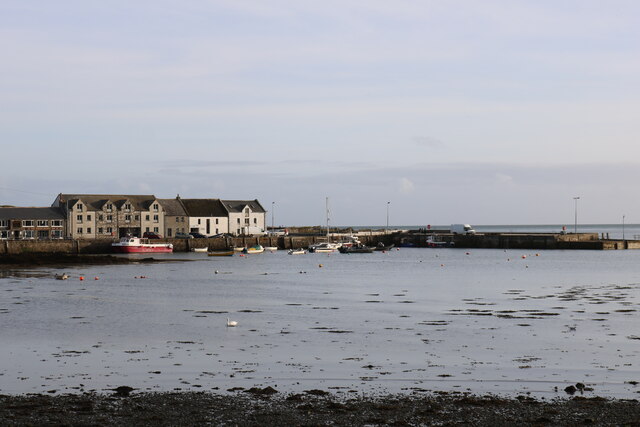
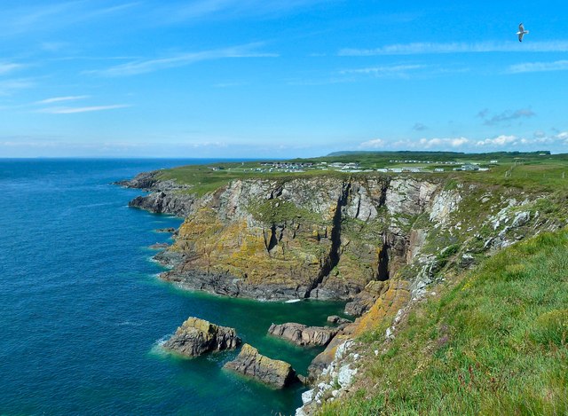
Mare Rock, located off the coast of Wigtownshire in Scotland, is a small uninhabited island that boasts a stunning natural beauty. Situated in the Irish Sea, it forms part of the Solway Firth and is approximately 1.5 miles in circumference. The island is renowned for its rugged cliffs, rocky terrain, and diverse wildlife.
The prominent feature of Mare Rock is its striking cliff formations, which rise steeply from the sea. These cliffs are known to be a nesting site for a variety of seabirds, including guillemots, razorbills, and fulmars. The island is also home to a population of grey seals, which can often be spotted lounging on the rocky shores.
Access to Mare Rock is limited due to its isolated location and lack of facilities. It can only be reached by boat, making it a popular destination for birdwatchers and nature enthusiasts seeking a remote and tranquil experience. Its rugged landscape offers opportunities for hiking and exploration, although visitors are advised to take caution due to the uneven terrain.
Mare Rock is part of the South West Scotland Marine Protected Area, ensuring the preservation of its unique ecosystem. The surrounding waters are also teeming with marine life, making it a popular spot for fishing and diving.
Overall, Mare Rock is a haven for wildlife and a true gem of natural beauty. Its untouched landscape and rich biodiversity make it a must-visit destination for those seeking an authentic and unspoiled Scottish coastal experience.
If you have any feedback on the listing, please let us know in the comments section below.
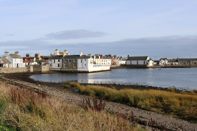
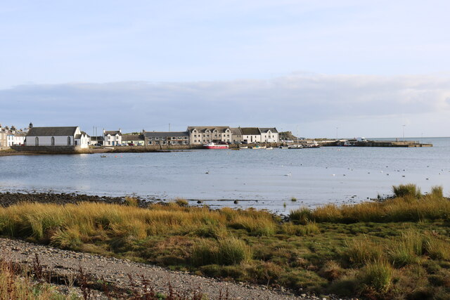
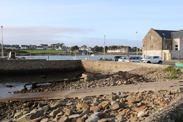
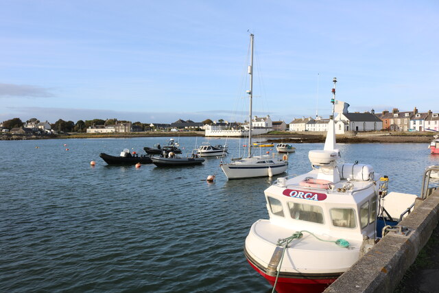
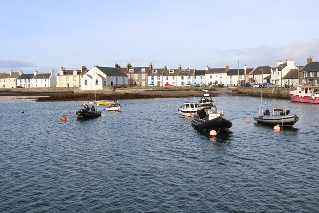
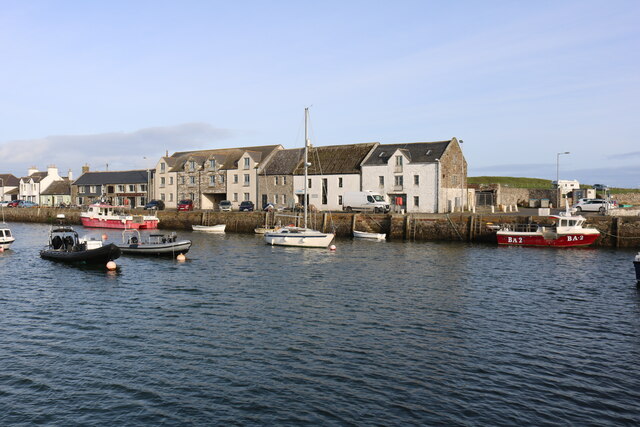
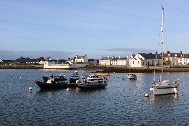
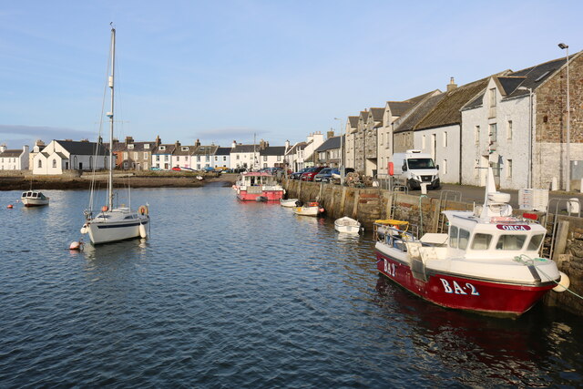
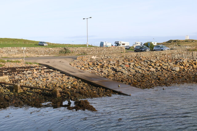
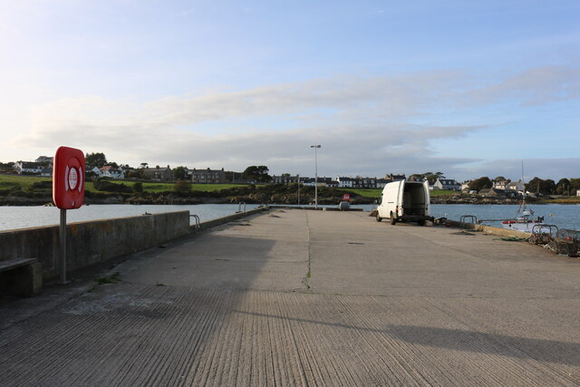
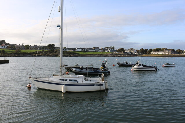
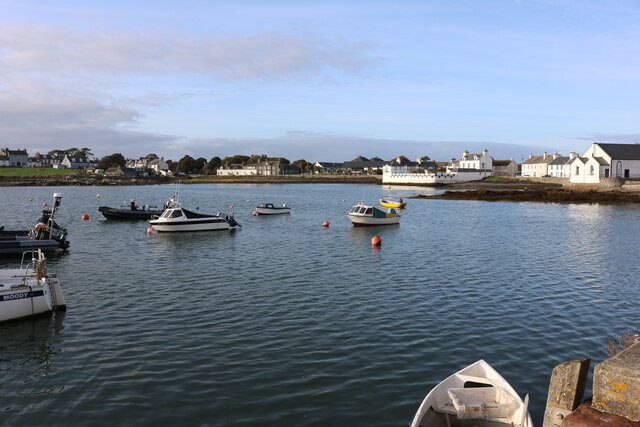
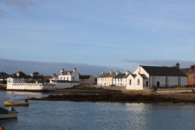
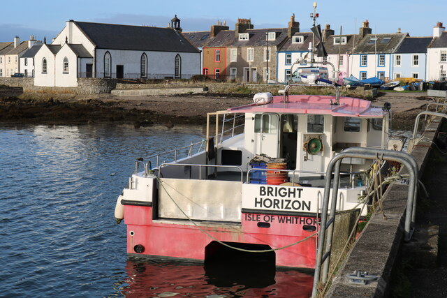
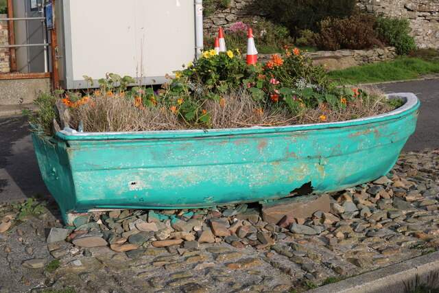
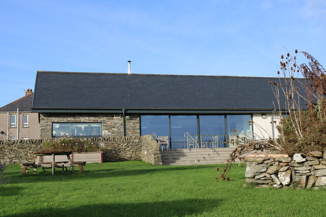
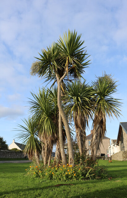
Mare Rock Images
Images are sourced within 2km of 54.690283/-4.3650323 or Grid Reference NX4735. Thanks to Geograph Open Source API. All images are credited.
Mare Rock is located at Grid Ref: NX4735 (Lat: 54.690283, Lng: -4.3650323)
Unitary Authority: Dumfries and Galloway
Police Authority: Dumfries and Galloway
What 3 Words
///invested.incline.strutting. Near Whithorn, Dumfries & Galloway
Related Wikis

Isle of Whithorn
Isle of Whithorn (Port Rosnait in Gaelic) is one of the most southerly villages and seaports in Scotland, lying on the coast north east of Burrow Head...
Burrow Head
Burrow Head is a headland located approximately two miles south-west of Isle of Whithorn, Wigtownshire, Scotland, and is the second southernmost point...

St Ninian's Cave
St Ninian's Cave is a cave in Physgill Glen, Whithorn, Dumfries and Galloway, Scotland. It features in the climax of the acclaimed 1973 horror film The...

Candida Casa
Candida Casa was the name given to the church established by St Ninian in Whithorn, Galloway, southern Scotland, in the mid fifth century AD. The name...
Nearby Amenities
Located within 500m of 54.690283,-4.3650323Have you been to Mare Rock?
Leave your review of Mare Rock below (or comments, questions and feedback).