Cunnoch
Coastal Feature, Headland, Point in Wigtownshire
Scotland
Cunnoch
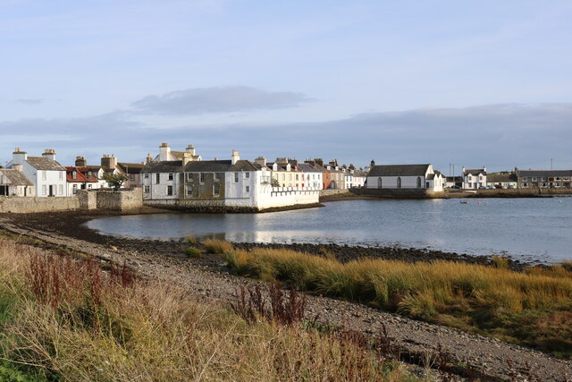
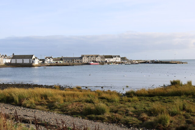
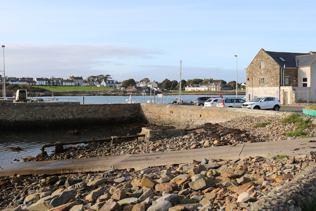
Cunnoch is a prominent headland located in Wigtownshire, Scotland. Situated along the coastline, it juts out into the sea, forming a distinctive point that offers breathtaking views of the surrounding area. The headland is known for its rugged and rocky terrain, which adds to its natural beauty.
Cunnoch is characterized by its steep cliffs, which rise dramatically from the water below. These cliffs are made up of a variety of rock types, including granite and sandstone, creating a visually striking landscape. The headland is also home to several caves and crevices that have been formed over thousands of years through natural erosion processes.
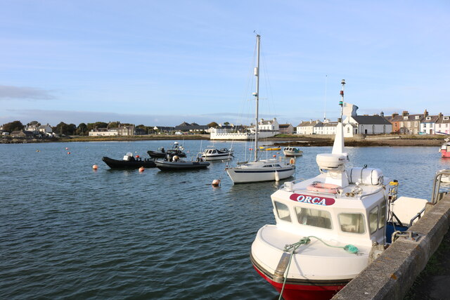
The location of Cunnoch makes it a popular spot for various outdoor activities. Hiking enthusiasts and nature lovers flock to the headland to explore its trails and experience the stunning coastal scenery. The area is also a haven for birdwatchers, as it provides an ideal habitat for a wide range of seabirds, including guillemots, puffins, and gannets.
Cunnoch is not only renowned for its natural beauty but also for its historical significance. The headland has been inhabited by humans for centuries, and remnants of ancient settlements can still be found in the surrounding area. These archaeological sites offer a glimpse into the rich history of the region.
Overall, Cunnoch is a captivating coastal feature that showcases the rugged beauty and diverse natural heritage of Wigtownshire. Its striking cliffs, abundant wildlife, and historical significance make it a must-visit destination for both locals and tourists seeking an unforgettable experience along Scotland's stunning coastline.
If you have any feedback on the listing, please let us know in the comments section below.
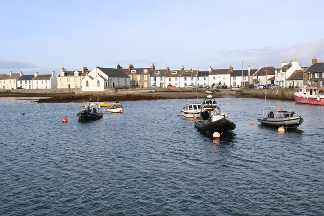
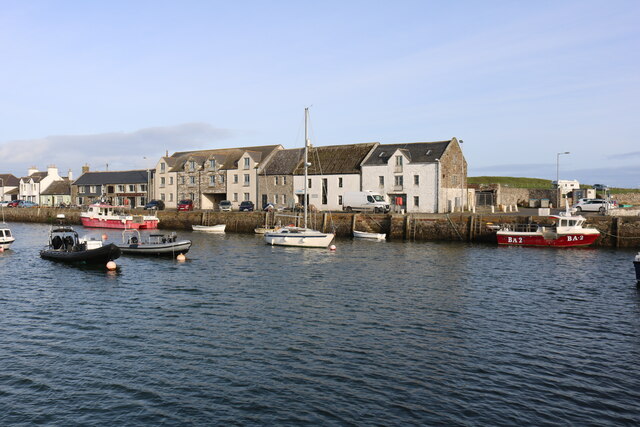
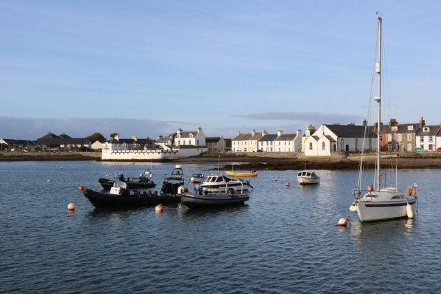
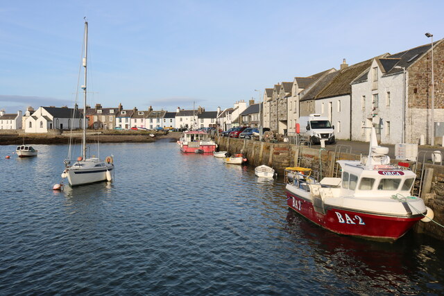
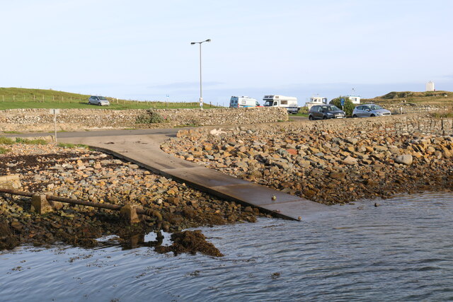
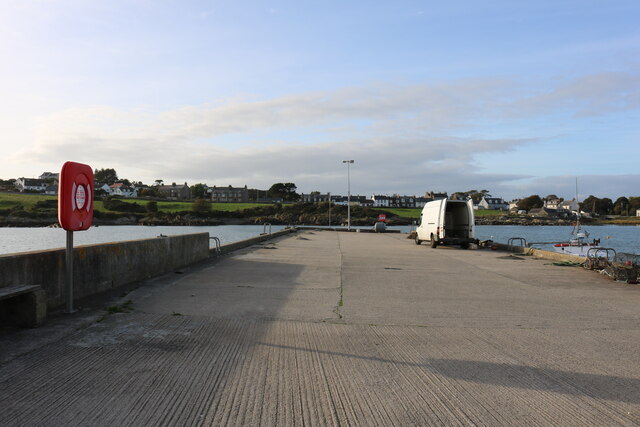
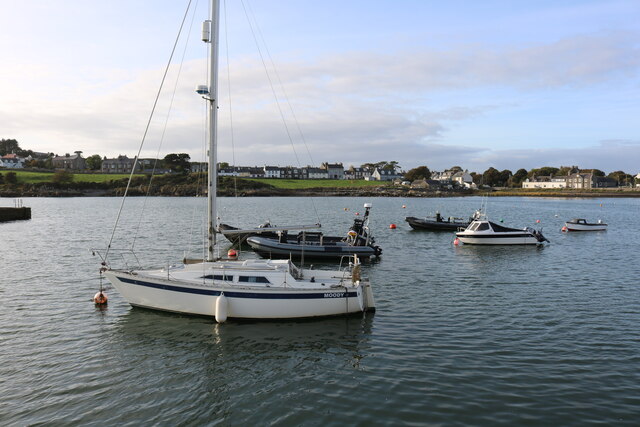
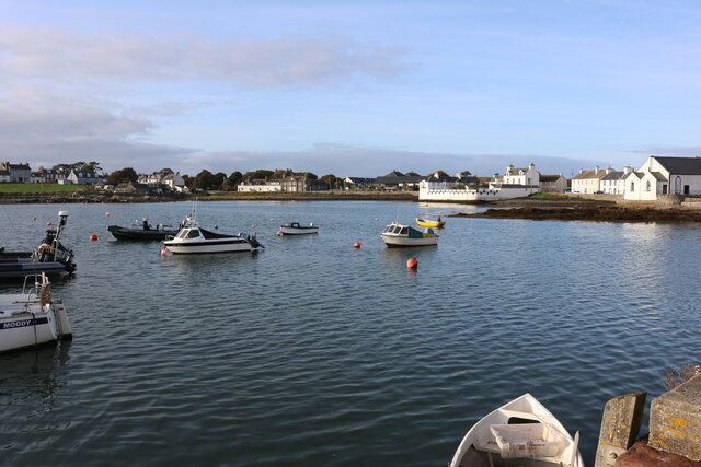
Cunnoch Images
Images are sourced within 2km of 54.693061/-4.3641076 or Grid Reference NX4735. Thanks to Geograph Open Source API. All images are credited.
Cunnoch is located at Grid Ref: NX4735 (Lat: 54.693061, Lng: -4.3641076)
Unitary Authority: Dumfries and Galloway
Police Authority: Dumfries and Galloway
What 3 Words
///able.fighters.slyly. Near Whithorn, Dumfries & Galloway
Nearby Locations
Related Wikis

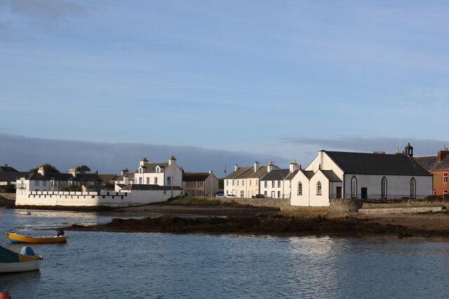
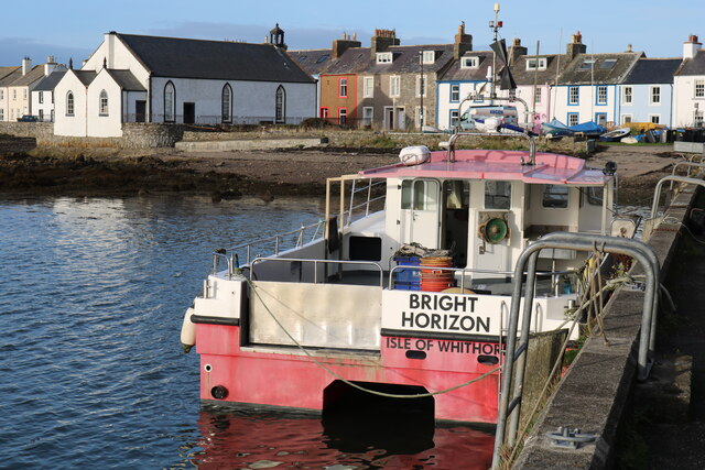
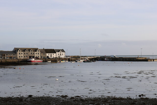
Isle of Whithorn
Isle of Whithorn (Port Rosnait in Gaelic) is one of the most southerly villages and seaports in Scotland, lying on the coast north east of Burrow Head...
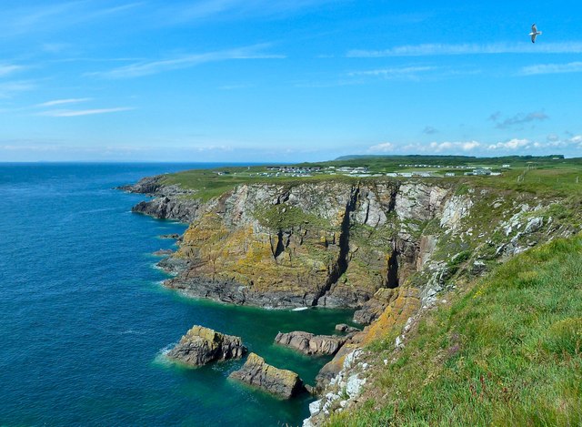
Burrow Head
Burrow Head is a headland located approximately two miles south-west of Isle of Whithorn, Wigtownshire, Scotland, and is the second southernmost point...

St Ninian's Cave
St Ninian's Cave is a cave in Physgill Glen, Whithorn, Dumfries and Galloway, Scotland. It features in the climax of the acclaimed 1973 horror film The...

Candida Casa
Candida Casa was the name given to the church established by St Ninian in Whithorn, Galloway, southern Scotland, in the mid fifth century AD. The name...
Nearby Amenities
Located within 500m of 54.693061,-4.3641076Have you been to Cunnoch?
Leave your review of Cunnoch below (or comments, questions and feedback).