Monaghan

Coastal Feature, Headland, Point in Wigtownshire

Scotland

Monaghan

Isle of Whithorn Harbour Viewed from the B7004.
Isle of Whithorn Harbour Credit: Billy McCrorie

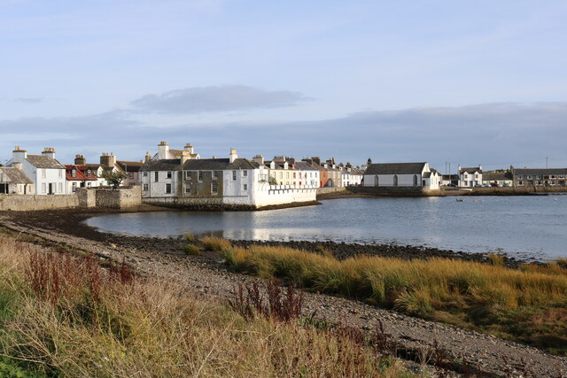
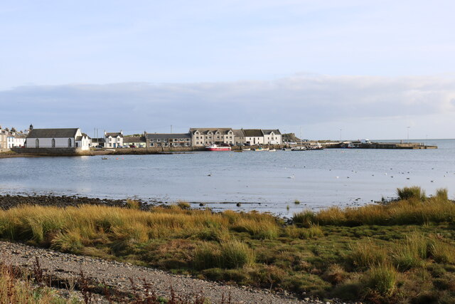
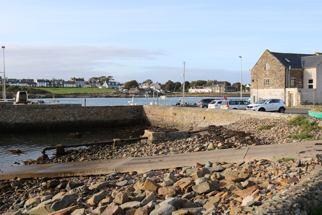
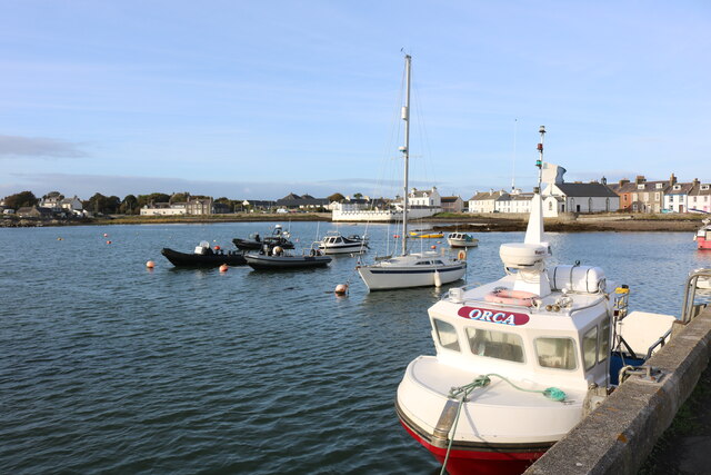
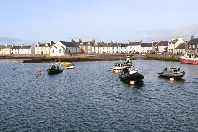
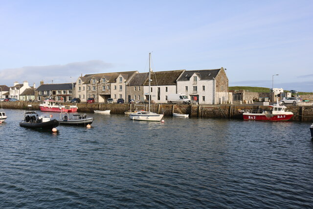
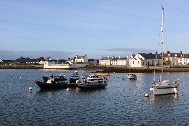
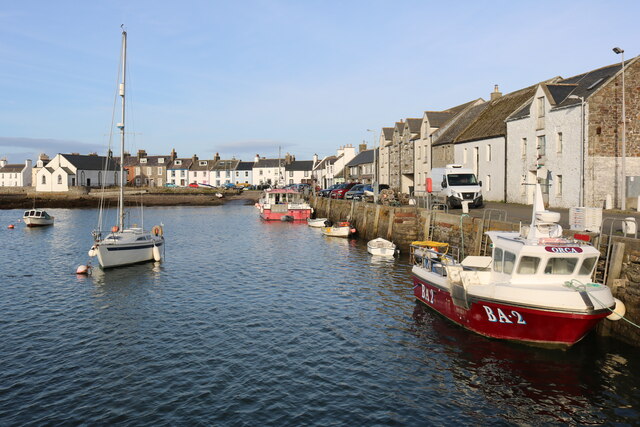
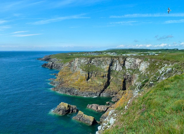
Monaghan is a picturesque coastal feature located in Wigtownshire, Scotland. It is a headland that extends into the North Channel of the Irish Sea, forming a prominent point along the coastline. With its stunning natural beauty and rich history, Monaghan attracts locals and visitors alike.

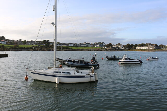
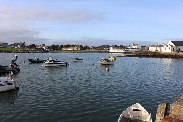
The headland offers breathtaking views of the surrounding area, with its rugged cliffs and expansive sea views. It is a popular spot for hiking and coastal walks, allowing visitors to immerse themselves in the stunning coastal landscape. The area is home to a diverse range of flora and fauna, making it a haven for nature enthusiasts and birdwatchers.

Monaghan also holds historical significance. The headland is dotted with several ancient ruins, including a medieval tower house known as Monaghan Castle. This historic site provides a glimpse into the region's past and offers visitors a chance to explore its architectural heritage.

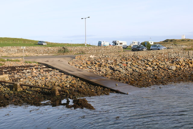
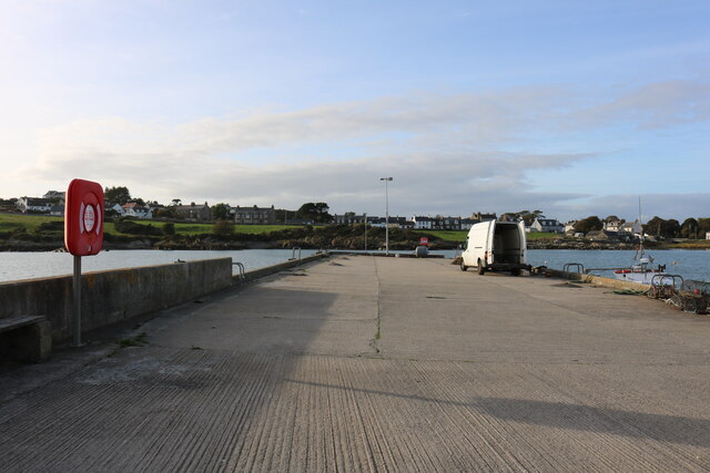
The coastal feature is easily accessible, with nearby parking facilities and well-maintained paths. It is a great spot for picnics, providing visitors with an opportunity to relax and take in the scenic surroundings. The nearby village of Monreith offers amenities such as cafes and shops, making it convenient for visitors to enjoy a day out exploring Monaghan.

Overall, Monaghan, Wigtownshire is a captivating coastal feature that combines natural beauty with historical significance. Whether it's for a leisurely stroll, birdwatching, or immersing oneself in history, Monaghan offers something for everyone.

If you have any feedback on the listing, please let us know in the comments section below.
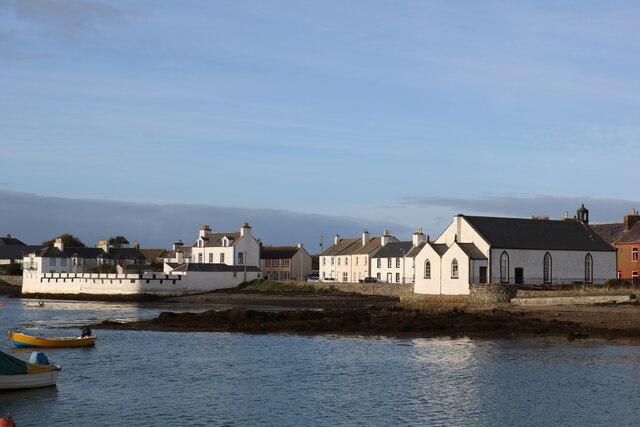
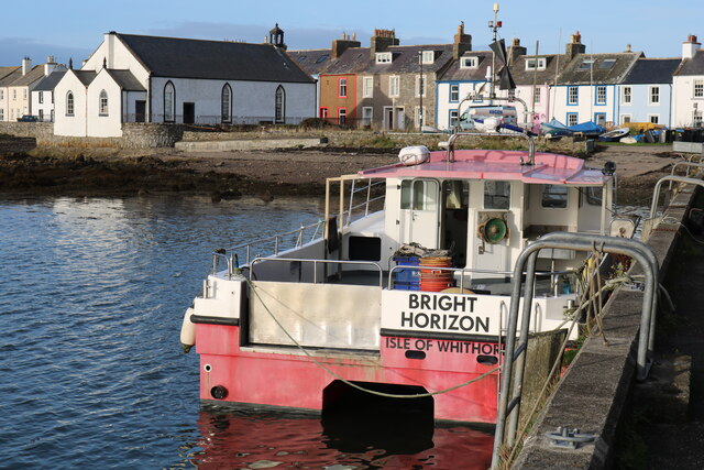
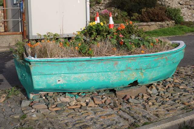
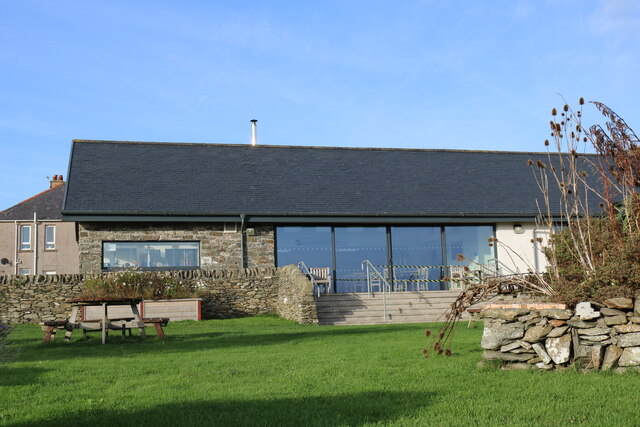
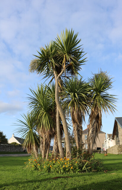
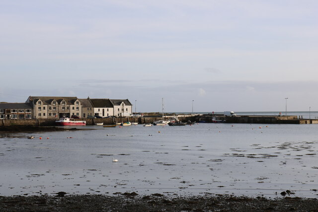
Monaghan Images

Images are sourced within 2km of 54.695404/-4.3605814 or Grid Reference NX4735. Thanks to Geograph Open Source API. All images are credited.

Isle of Whithorn Harbour Viewed from the B7004.
Isle of Whithorn Harbour
Viewed from the B7004.
Isle of Whithorn Harbour As seen from the B7004.
Isle of Whithorn Harbour
As seen from the B7004.
Slipway, Isle of Whithorn
"Orca" Isle of Whithorn On a lovely day in October.
"Orca" Isle of Whithorn
On a lovely day in October.
Harbour, Isle of Whithorn
Harbour, Isle of Whithorn On a lovely day in October.
Harbour, Isle of Whithorn
On a lovely day in October.
Isle of Whithorn Harbour
Harbour, Isle of Whithorn On a nice day in October.
Harbour, Isle of Whithorn
On a nice day in October.
Slipway, Isle of Whithorn
Pier, Isle of Whithorn
"Moody" Isle of Whithorn
Harbour at Isle of Whithorn
White Buildings, Isle of Whithorn The one on the right is the Church of Scotland.
White Buildings, Isle of Whithorn
The one on the right is the Church of Scotland.
"Bright Horizon" Isle of Whithorn White building on the left is the Church of Scotland.
"Bright Horizon" Isle of Whithorn
White building on the left is the Church of Scotland.
Flower Planter, Isle of Whithorn
St. Ninian's Tea Room, Isle of Whithorn Viewed from Main Street.
St. Ninian's Tea Room, Isle of Whithorn
Viewed from Main Street.
Tropical Isle of Whithorn Only wish, viewed from Main Street on a calm cool day in October.
Tropical Isle of Whithorn
Only wish, viewed from Main Street on a calm cool day in October.
Harbour, Isle of Whithorn Viewed from Main Street.
Harbour, Isle of Whithorn
Viewed from Main Street.
Show me another place!

Monaghan is located at Grid Ref: NX4735 (Lat: 54.695404, Lng: -4.3605814)

Unitary Authority: Dumfries and Galloway

Police Authority: Dumfries and Galloway

What 3 Words

///orbit.shifters.defensive. Near Whithorn, Dumfries & Galloway

Related Wikis

Isle of Whithorn

Isle of Whithorn (Port Rosnait in Gaelic) is one of the most southerly villages and seaports in Scotland, lying on the coast north east of Burrow Head...

Burrow Head

Burrow Head is a headland located approximately two miles south-west of Isle of Whithorn, Wigtownshire, Scotland, and is the second southernmost point...

Candida Casa

Candida Casa was the name given to the church established by St Ninian in Whithorn, Galloway, southern Scotland, in the mid fifth century AD. The name...

Whithorn Priory

Whithorn Priory was a medieval Scottish monastery that also served as a cathedral, located at 6 Bruce Street in Whithorn, Wigtownshire, Dumfries and Galloway...

Nearby Amenities

Located within 500m of 54.695404,-4.3605814
Source: PGS
Lat/Long: 54.6918946/-4.3645455
Source: PGS
Lat/Long: 54.6919801/-4.3644875
Source: PGS
Lat/Long: 54.6921203/-4.3644575
Source: PGS
Lat/Long: 54.6923695/-4.3643513
Source: PGS
Lat/Long: 54.692142/-4.3634533
Source: PGS
Lat/Long: 54.692211/-4.362697
Source: PGS
Lat/Long: 54.6928055/-4.3640595
Source: PGS
Lat/Long: 54.693225/-4.363616
Source: PGS
Lat/Long: 54.693477/-4.364066
Source: PGS
Lat/Long: 54.695013/-4.364118
Source: PGS
Lat/Long: 54.6958209/-4.3639175
Source: PGS
Lat/Long: 54.6959883/-4.3644325
Source: PGS
Lat/Long: 54.6970362/-4.3631986
Source: PGS
Lat/Long: 54.6967298/-4.3624587
Source: PGS
Lat/Long: 54.6965227/-4.361742
Source: PGS
Lat/Long: 54.6962995/-4.3616498
Source: PGS
Lat/Long: 54.6959541/-4.3610972
Source: PGS
Lat/Long: 54.6951605/-4.3600447
Source: PGS
Lat/Long: 54.6948393/-4.3598623
Source: PGS
Lat/Long: 54.694809/-4.359467
Source: PGS
Lat/Long: 54.695321/-4.359484
Source: PGS
Lat/Long: 54.6954488/-4.3592465
Source: PGS
Lat/Long: 54.6955337/-4.3591049
Source: PGS
Lat/Long: 54.6955536/-4.3588002
Source: PGS
Lat/Long: 54.695592/-4.3584311
Source: PGS
Lat/Long: 54.6967639/-4.3584665
Source: PGS
Lat/Long: 54.6973758/-4.3584064
Source: PGS
Lat/Long: 54.6979301/-4.3585545
Source: PGS
Lat/Long: 54.6977398/-4.3602078
Source: PGS
Lat/Long: 54.6983567/-4.3592486
Source: PGS
Lat/Long: 54.6990815/-4.3593184
St. Ninian's Chapel
Historic: ruins
Lat/Long: 54.6980617/-4.360698
The Cairn
Historic: castle
Wikidata: Q31057786
Lat/Long: 54.69649/-4.359306
Seamark Light 1 Character: Fl
Seamark Light 1 Colour: white
Seamark Light 1 Height: 20
Seamark Light 1 Period: 3
Seamark Light 1 Range: 6
Seamark Light 1 Sector End: 5
Seamark Light 1 Sector Start: 310
Seamark Light 1 Sequence: 0.5+(2.5)
Seamark Light 2 Character: Fl
Seamark Light 2 Colour: red
Seamark Light 2 Height: 20
Seamark Light 2 Period: 3
Seamark Light 2 Range: 4
Seamark Light 2 Sector End: 40
Seamark Light 2 Sector Start: 5
Seamark Light 2 Sequence: 0.5+(2.5)
Seamark Light Reference: A 4624.2
Seamark Type: light_minor
Source: US NGA Pub. 114. 2011-05-26.
Lat/Long: 54.6957/-4.3593
Seamark Light Character: Q
Seamark Light Colour: green
Seamark Light Height: 4
Seamark Light Range: 5
Seamark Light Reference: A 4622
Seamark Type: light_minor
Source: US NGA Pub. 114. 2011-05-26.
Lat/Long: 54.6983237/-4.3640605
Toilets
Access: yes
Unisex: yes
Wheelchair: yes
Lat/Long: 54.6981719/-4.3624925
Historic: memorial
Material: stone
Lat/Long: 54.6965081/-4.3592091
Historic: memorial
Material: stone
Lat/Long: 54.6974772/-4.3607946
Bench: yes
Leisure: picnic_table
Material: plastic
Lat/Long: 54.6974125/-4.3607409
Bench
Backrest: yes
Material: metal
Lat/Long: 54.6974333/-4.3609947
Baby: no
Capacity: 2
Playground: swing
Lat/Long: 54.6972675/-4.3618653
Baby: yes
Capacity: 1
Playground: swing
Lat/Long: 54.6972915/-4.3619231
Playground: seesaw
Lat/Long: 54.6973142/-4.3616396
Playground: slide
Lat/Long: 54.6974055/-4.3620391
Grit Bin
Access: yes
Colour: Yellow
Material: plastic
Lat/Long: 54.6982956/-4.362849
Defibrillator
Defibrillator Location: Isle of Whithorn. Harbour Row. External wall of passage to car park.
Emergency: defibrillator
Indoor: no
Lat/Long: 54.6986741/-4.3625685
Power: pole
Lat/Long: 54.6958467/-4.3682843
Pub
The Steam Packet Inn
Lat/Long: 54.6988445/-4.3623461
Post Box
Collection Times: Mo-Fr 09:00; Sa 07:00
Operator: Royal Mail
Post Box Type: lamp
Ref: DG8 11D
Royal Cypher: scottish_crown
Lat/Long: 54.699282/-4.3620054
Bench
Backrest: yes
Lat/Long: 54.697281/-4.3616458
Bench
Backrest: no
Lat/Long: 54.6974734/-4.3617768
Leisure: picnic_table
Lat/Long: 54.6976977/-4.3622359
Bench
Backrest: yes
Lat/Long: 54.697668/-4.3621573
Bench
Backrest: yes
Lat/Long: 54.697436/-4.3616495
Bench
Backrest: no
Lat/Long: 54.6974935/-4.3618659
Bench
Backrest: yes
Material: metal
Lat/Long: 54.6974272/-4.3610455
Bench
Backrest: yes
Lat/Long: 54.6969567/-4.3605713
Bench
Backrest: yes
Material: metal
Lat/Long: 54.6974743/-4.3607833
Bench
Backrest: yes
Material: metal
Lat/Long: 54.6974298/-4.3608367
The data included in this document is from www.openstreetmap.org. The data is made available under ODbL.

Have you been to Monaghan?

Leave your review of Monaghan below (or comments, questions and feedback).