Dykefoot
Coastal Feature, Headland, Point in Wigtownshire
Scotland
Dykefoot
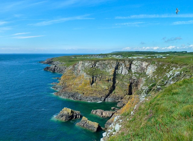
Dykefoot is a prominent coastal feature located in Wigtownshire, a historic county in southwestern Scotland. It is specifically classified as a headland or a point, jutting out into the sea and forming a distinguishable and significant landform along the coastline.
Situated on the western coast of Scotland, Dykefoot offers stunning panoramic views of the surrounding landscape and the vast expanse of the sea. Its strategic location makes it an ideal vantage point for observing marine life, such as seals, dolphins, and various seabirds. The rugged cliffs and rocky shores of Dykefoot also provide a habitat for a diverse range of coastal plant species.
The headland's geological composition consists of a mixture of sedimentary and igneous rocks, giving it a unique and visually appealing appearance. Over thousands of years, the relentless action of the sea has shaped the cliffs, creating remarkable formations and caves that attract explorers and nature enthusiasts.
Dykefoot is a popular destination for outdoor activities, including hiking, birdwatching, and photography. The headland is easily accessible by foot, with well-maintained trails leading visitors to its highest points, offering breathtaking views of the surrounding coastline and the vast Atlantic Ocean.
The area surrounding Dykefoot is rich in history, with archaeological evidence suggesting human habitation dating back thousands of years. Ruins of ancient settlements, burial sites, and artifacts have been discovered in the vicinity, providing insights into the lives and cultures of past civilizations.
Overall, Dykefoot is a significant coastal feature in Wigtownshire, offering visitors a unique blend of natural beauty, geological wonders, and historical intrigue.
If you have any feedback on the listing, please let us know in the comments section below.
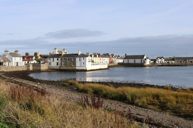
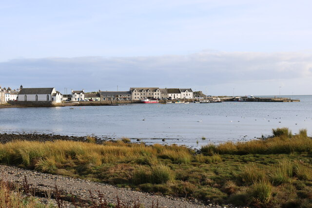
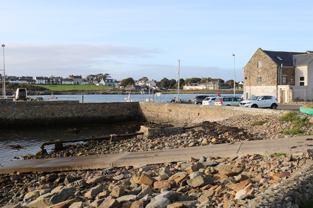
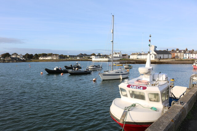
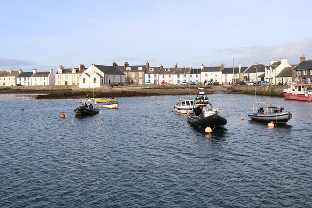
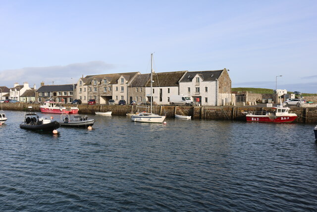
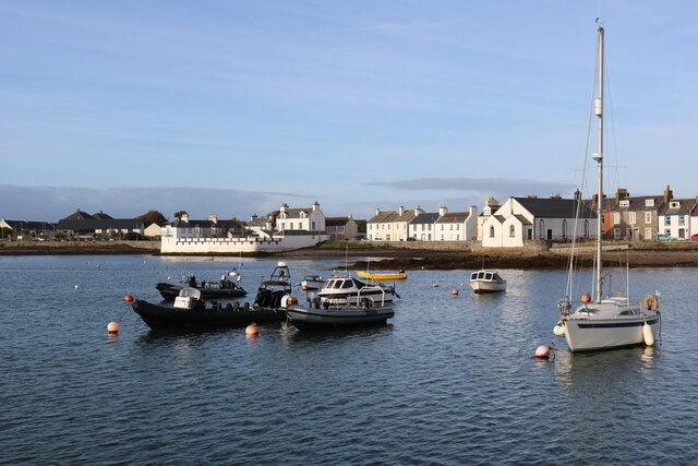
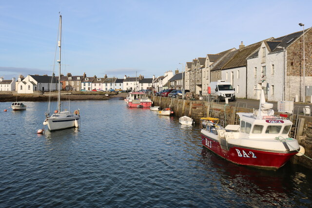
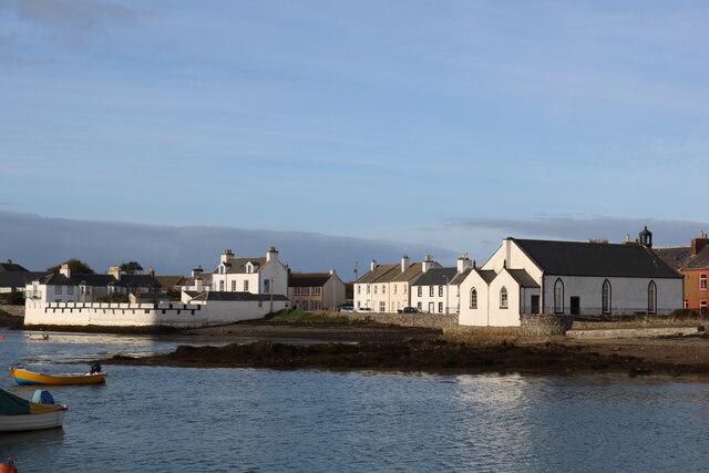
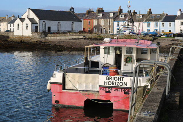
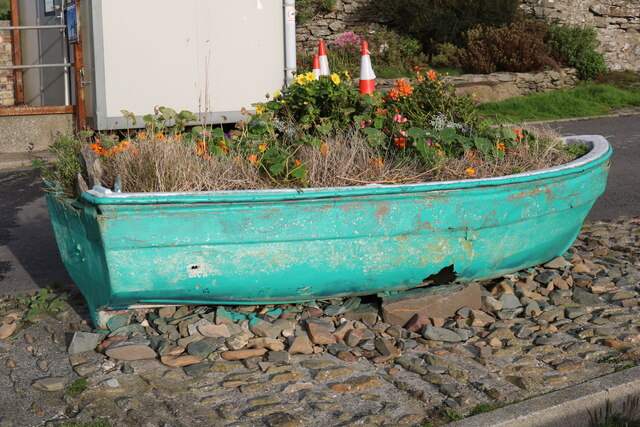
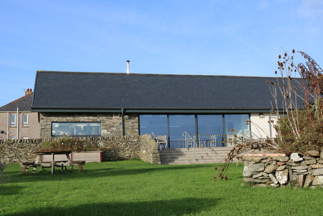
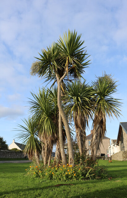
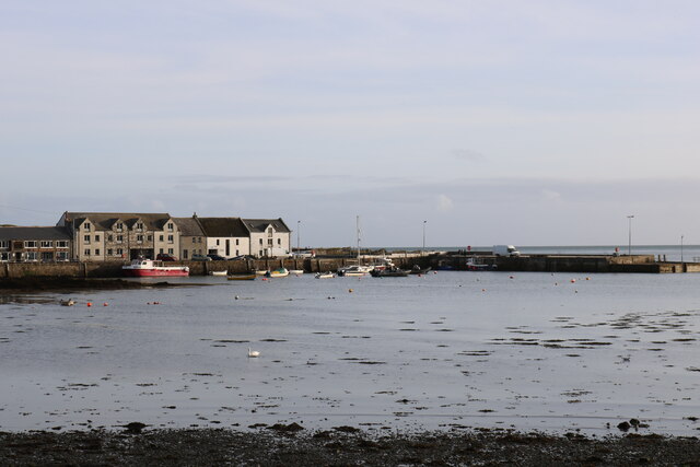
Dykefoot Images
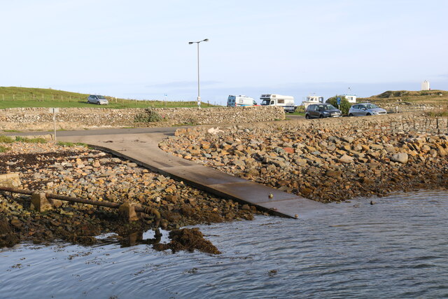
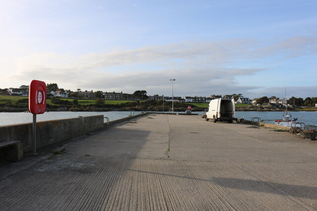
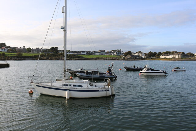
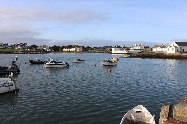
Images are sourced within 2km of 54.687392/-4.3717223 or Grid Reference NX4735. Thanks to Geograph Open Source API. All images are credited.
Dykefoot is located at Grid Ref: NX4735 (Lat: 54.687392, Lng: -4.3717223)
Unitary Authority: Dumfries and Galloway
Police Authority: Dumfries and Galloway
What 3 Words
///ombudsman.blueberry.complies. Near Whithorn, Dumfries & Galloway
Nearby Locations
Related Wikis

Isle of Whithorn
Isle of Whithorn (Port Rosnait in Gaelic) is one of the most southerly villages and seaports in Scotland, lying on the coast north east of Burrow Head...
Burrow Head
Burrow Head is a headland located approximately two miles south-west of Isle of Whithorn, Wigtownshire, Scotland, and is the second southernmost point...

St Ninian's Cave
St Ninian's Cave is a cave in Physgill Glen, Whithorn, Dumfries and Galloway, Scotland. It features in the climax of the acclaimed 1973 horror film The...

Candida Casa
Candida Casa was the name given to the church established by St Ninian in Whithorn, Galloway, southern Scotland, in the mid fifth century AD. The name...
Nearby Amenities
Located within 500m of 54.687392,-4.3717223Have you been to Dykefoot?
Leave your review of Dykefoot below (or comments, questions and feedback).