Craigrow
Coastal Feature, Headland, Point in Wigtownshire
Scotland
Craigrow

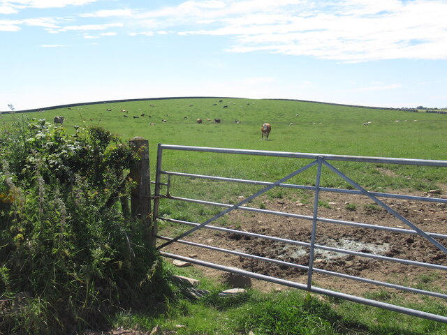
Craigrow is a prominent coastal feature located in Wigtownshire, Scotland. It is a headland that juts out into the sea, forming a point that offers stunning views of the surrounding coastline. Situated on the western coast of Scotland, Craigrow is known for its rugged cliffs, rocky terrain, and picturesque landscapes.
Standing at a height of approximately 30 meters, Craigrow commands a commanding presence over the Irish Sea. The headland is formed by layers of sedimentary rock, which have been shaped and eroded by the relentless waves and weather conditions over centuries. This geological formation not only adds to its natural beauty but also provides important insights into the area's geological history.
The area surrounding Craigrow is rich in biodiversity, with various species of sea birds, including gulls, cormorants, and fulmars, making it their home. The headland also provides nesting grounds for these birds, adding to the ecological significance of the area.
For visitors, Craigrow offers numerous recreational activities and attractions. Its vantage point provides breathtaking panoramic views of the sea and the surrounding landscape, making it a popular spot for photographers and nature enthusiasts. The headland is also a great location for hiking, with several trails leading to and around the area, allowing visitors to explore the rugged coastline and discover hidden coves and caves.
Overall, Craigrow in Wigtownshire is an outstanding coastal feature that showcases the beauty and diversity of Scotland's west coast. Its unique geological formations, diverse wildlife, and stunning vistas make it a must-visit destination for those seeking to immerse themselves in nature's wonders.
If you have any feedback on the listing, please let us know in the comments section below.
Craigrow Images
Images are sourced within 2km of 54.723655/-4.362053 or Grid Reference NX4739. Thanks to Geograph Open Source API. All images are credited.


Craigrow is located at Grid Ref: NX4739 (Lat: 54.723655, Lng: -4.362053)
Unitary Authority: Dumfries and Galloway
Police Authority: Dumfries and Galloway
What 3 Words
///deck.upsetting.spin. Near Whithorn, Dumfries & Galloway
Nearby Locations
Related Wikis

Isle of Whithorn
Isle of Whithorn (Port Rosnait in Gaelic) is one of the most southerly villages and seaports in Scotland, lying on the coast north east of Burrow Head...

Whithorn
Whithorn (Scots pronunciation: [ˈʍɪthorn], Taigh Mhàrtainn in modern Gaelic), is a royal burgh in the historic county of Wigtownshire in Dumfries and Galloway...
Candida Casa
Candida Casa was the name given to the church established by St Ninian in Whithorn, Galloway, southern Scotland, in the mid fifth century AD. The name...

Whithorn Priory
Whithorn Priory was a medieval Scottish monastery that also served as a cathedral, located at 6 Bruce Street in Whithorn, Wigtownshire, Dumfries and Galloway...
Nearby Amenities
Located within 500m of 54.723655,-4.362053Have you been to Craigrow?
Leave your review of Craigrow below (or comments, questions and feedback).