Ramsey
Coastal Feature, Headland, Point in Wigtownshire
Scotland
Ramsey
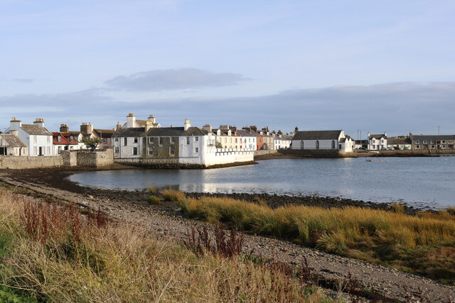
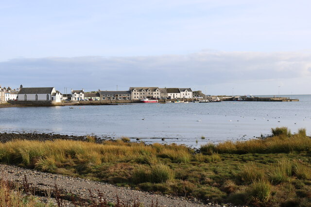
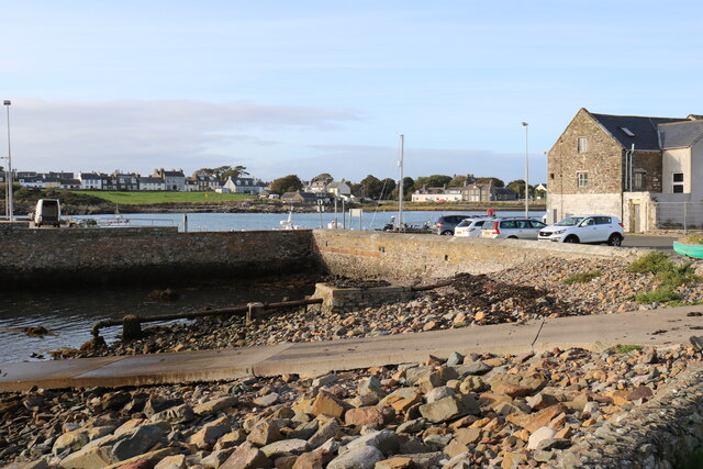
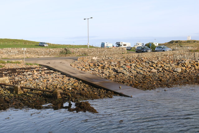
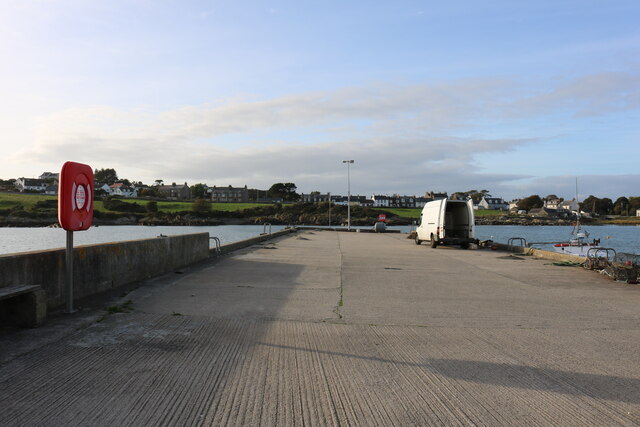
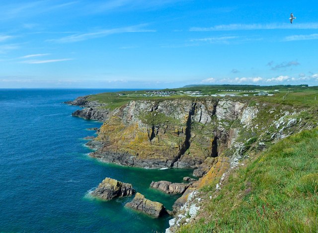
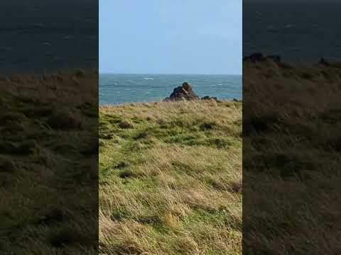
Ramsey is a picturesque coastal headland located in Wigtownshire, Scotland. Situated on the western coast of the country, it is a prominent feature jutting out into the Irish Sea. The headland is located a few miles south of the town of Portpatrick and is known for its stunning natural beauty and rich history.
Ramsey boasts rugged cliffs that offer breathtaking views of the surrounding coastline. The headland is formed by layers of sedimentary rocks, including sandstone and shale, which have been shaped by wind and water erosion over millions of years. This geological formation contributes to the unique landscape of Ramsey.
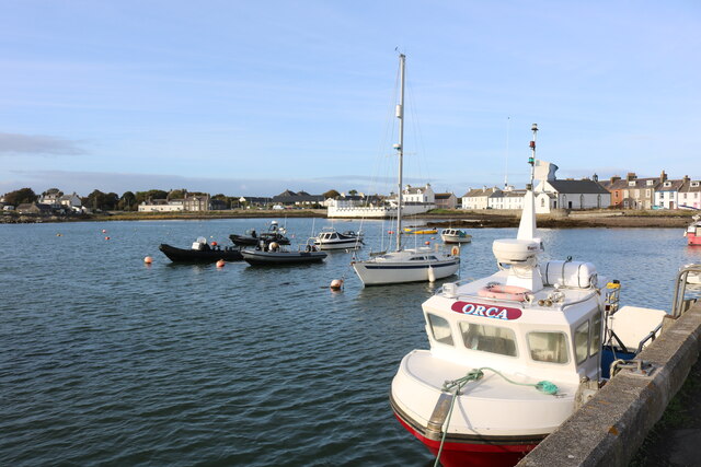
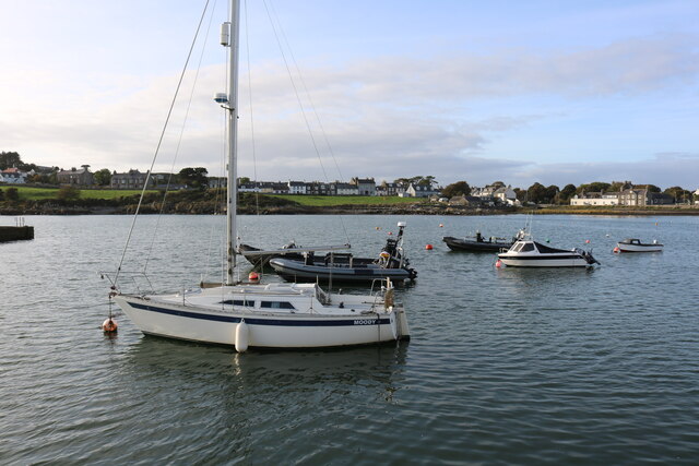
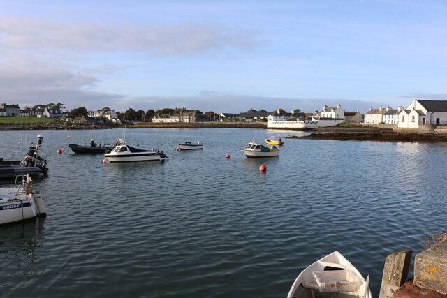
The headland is home to a diverse range of plant and animal species, including seabirds like puffins, gannets, and fulmars. The surrounding waters are teeming with marine life, making it a popular spot for fishing and diving enthusiasts. The headland's rocky shores also provide a habitat for various marine organisms, such as crabs, starfish, and seaweed.
Ramsey is steeped in history, with evidence of human occupation dating back thousands of years. Ruins of a medieval chapel and a nearby Iron Age fort can be found on the headland. These historical sites offer a glimpse into the region's past and attract visitors interested in archaeology and heritage.
Overall, Ramsey is a captivating coastal feature that combines natural beauty with a rich historical legacy. It serves as a popular destination for nature lovers, outdoor enthusiasts, and history buffs, offering a unique and memorable experience along Scotland's western coast.
If you have any feedback on the listing, please let us know in the comments section below.
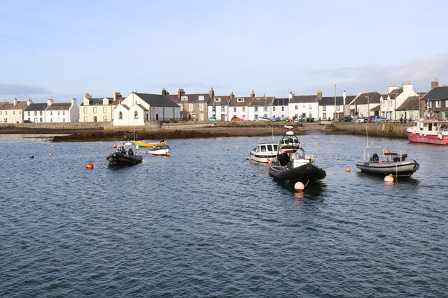
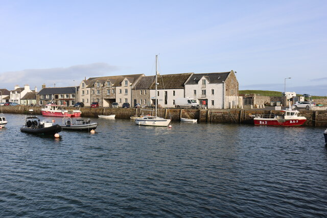
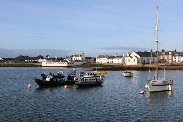
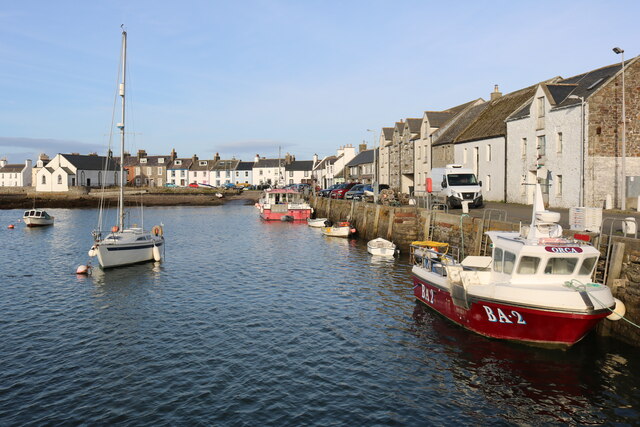
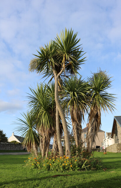
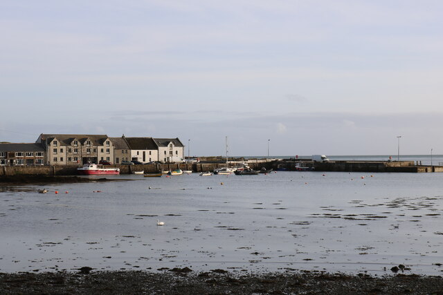
Ramsey Images
Images are sourced within 2km of 54.695085/-4.3598645 or Grid Reference NX4835. Thanks to Geograph Open Source API. All images are credited.
Ramsey is located at Grid Ref: NX4835 (Lat: 54.695085, Lng: -4.3598645)
Unitary Authority: Dumfries and Galloway
Police Authority: Dumfries and Galloway
What 3 Words
///spray.rationed.crisis. Near Whithorn, Dumfries & Galloway
Nearby Locations
Related Wikis

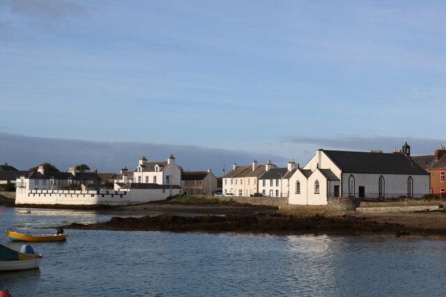
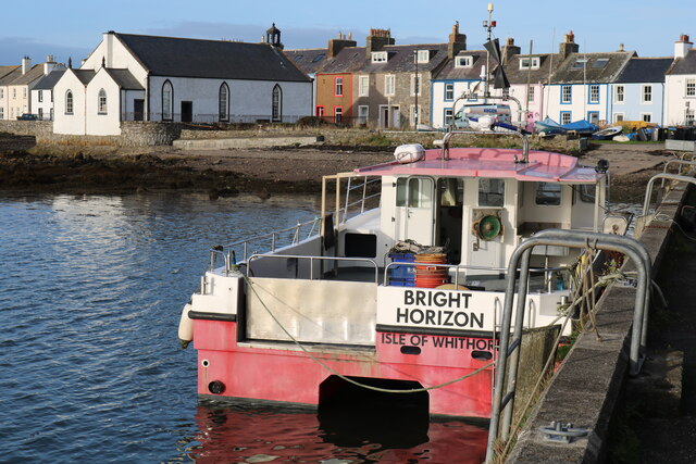
Isle of Whithorn
Isle of Whithorn (Port Rosnait in Gaelic) is one of the most southerly villages and seaports in Scotland, lying on the coast north east of Burrow Head...
Burrow Head
Burrow Head is a headland located approximately two miles south-west of Isle of Whithorn, Wigtownshire, Scotland, and is the second southernmost point...

Candida Casa
Candida Casa was the name given to the church established by St Ninian in Whithorn, Galloway, southern Scotland, in the mid fifth century AD. The name...

Whithorn Priory
Whithorn Priory was a medieval Scottish monastery that also served as a cathedral, located at 6 Bruce Street in Whithorn, Wigtownshire, Dumfries and Galloway...
Related Videos

Mac shows of his new walking gear and visits Isle Head Light
Columbia Sportswear UK kindly sent me up some new walking attire for my wanders which I first tried out on my trip on the steam ...

Isle of Whithorn - Epic Easter Trip to #dumfriesandgalloway in our #motorhomeuk with #adventurecats
Welcome to our Youtube channel where I take you on a journey to the beautiful Isle of Whithorn and the surrounding areas. In this ...
Nearby Amenities
Located within 500m of 54.695085,-4.3598645Have you been to Ramsey?
Leave your review of Ramsey below (or comments, questions and feedback).