Isle Head
Coastal Feature, Headland, Point in Wigtownshire
Scotland
Isle Head
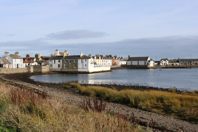
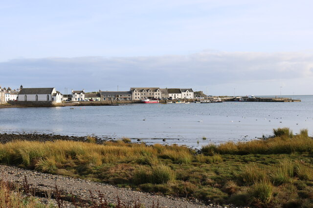
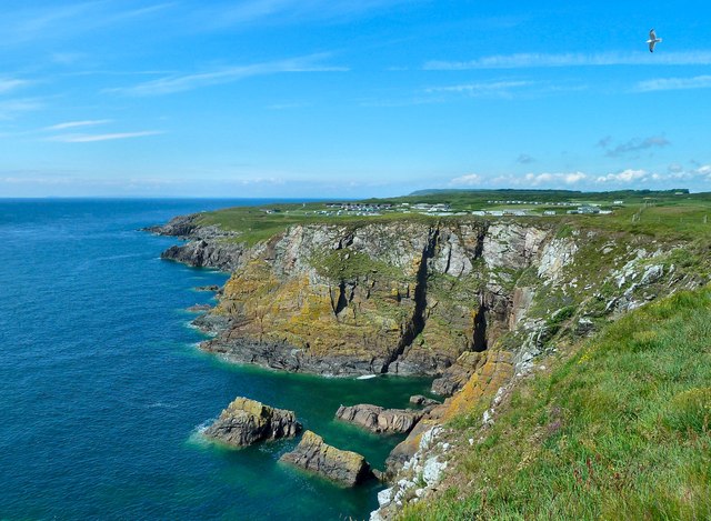
Isle Head is a prominent headland located in Wigtownshire, Scotland. Situated on the southwestern coast of the country, this coastal feature is a popular tourist destination due to its picturesque beauty and historical significance.
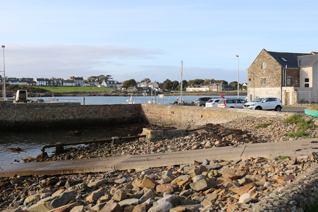
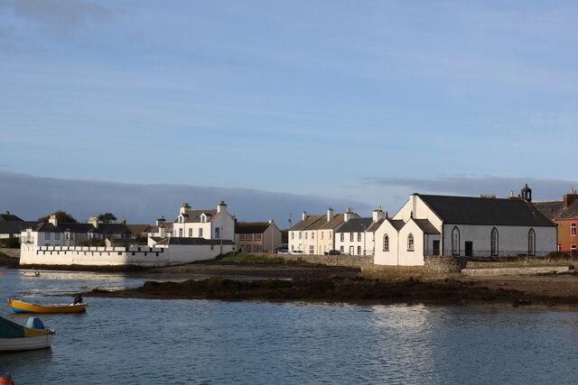
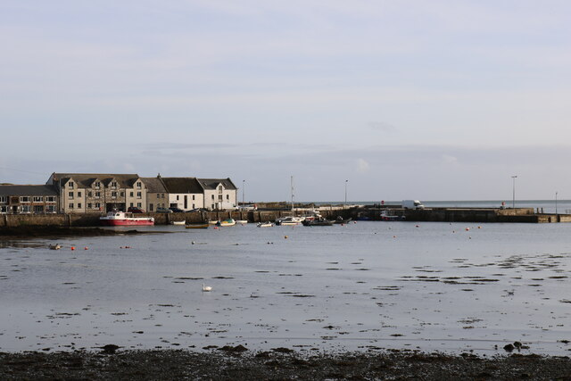
The headland is located near the small village of Isle of Whithorn and offers breathtaking views of the surrounding coastline and the Irish Sea. It is characterized by its rugged cliffs, which are composed of a mix of sedimentary rocks, including sandstone and shale. These cliffs provide a nesting site for a variety of seabirds, including guillemots, puffins, and gulls, making it a haven for birdwatchers and nature enthusiasts.
Isle Head is also home to an ancient fort, known as the Iron Age Fort, which is believed to date back to around 500 BC. The fort is situated at the top of the headland and offers a glimpse into the region's rich history. Visitors can explore the remains of the fort, which include stone walls and foundations, offering a unique insight into the lives of the people who once inhabited the area.
In addition to its natural and historical features, Isle Head also boasts a well-maintained coastal path, which allows visitors to explore the headland and enjoy panoramic views of the surrounding landscape. The path offers a peaceful and scenic walk, with opportunities to spot wildlife and admire the wildflowers that bloom along the cliffs.
Overall, Isle Head is a captivating coastal feature that offers a combination of natural beauty, historical significance, and recreational opportunities. Whether it's exploring the ancient fort, birdwatching, or simply enjoying a leisurely stroll along the coastal path, visitors to Isle Head are sure to be captivated by its charm and allure.
If you have any feedback on the listing, please let us know in the comments section below.
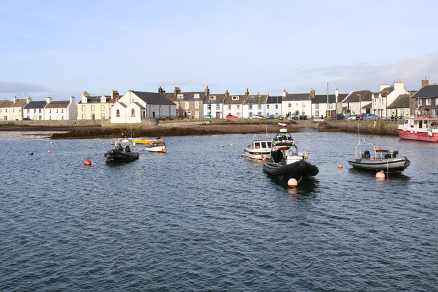
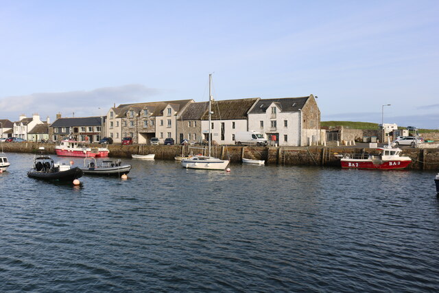
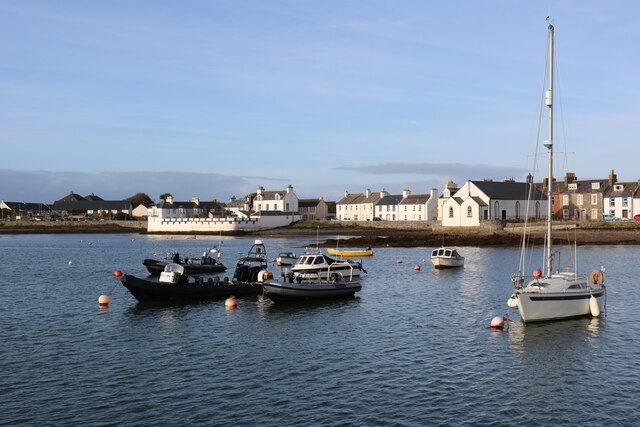
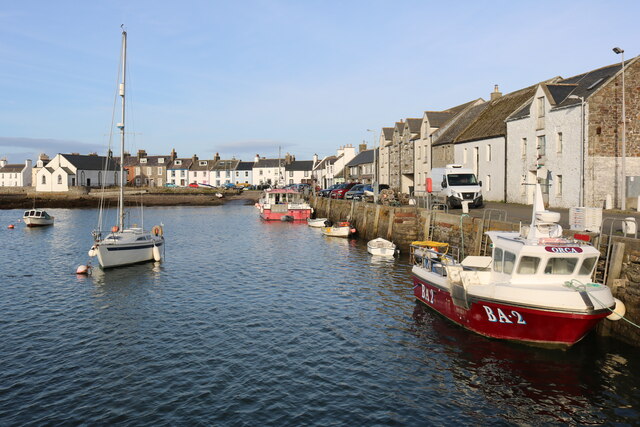
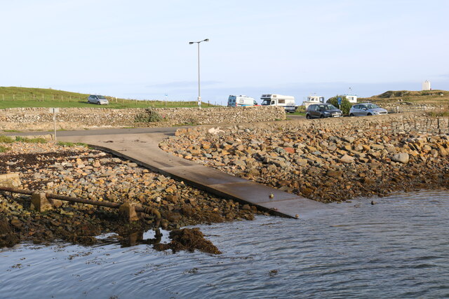
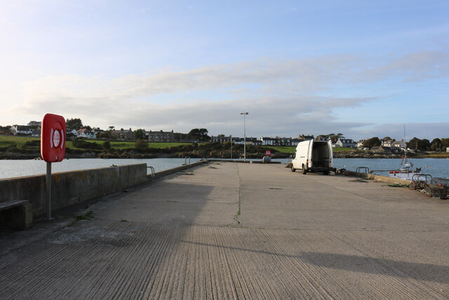
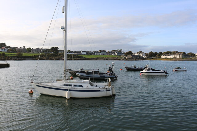
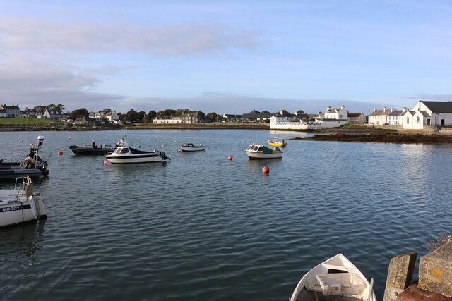
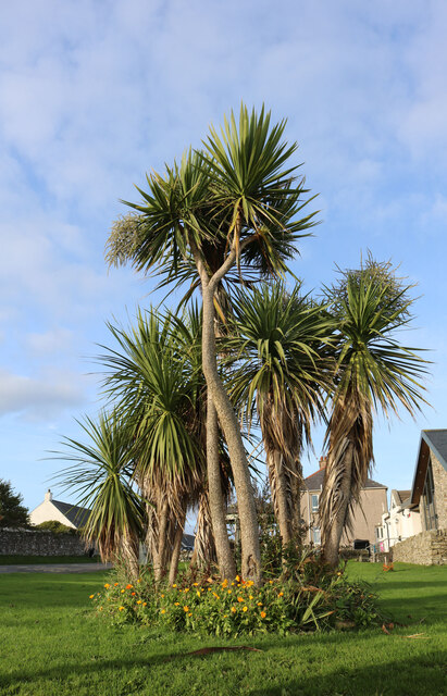
Isle Head Images
Images are sourced within 2km of 54.69635/-4.3586188 or Grid Reference NX4836. Thanks to Geograph Open Source API. All images are credited.
Isle Head is located at Grid Ref: NX4836 (Lat: 54.69635, Lng: -4.3586188)
Unitary Authority: Dumfries and Galloway
Police Authority: Dumfries and Galloway
What 3 Words
///wonderful.reclining.tripling. Near Whithorn, Dumfries & Galloway
Nearby Locations
Related Wikis

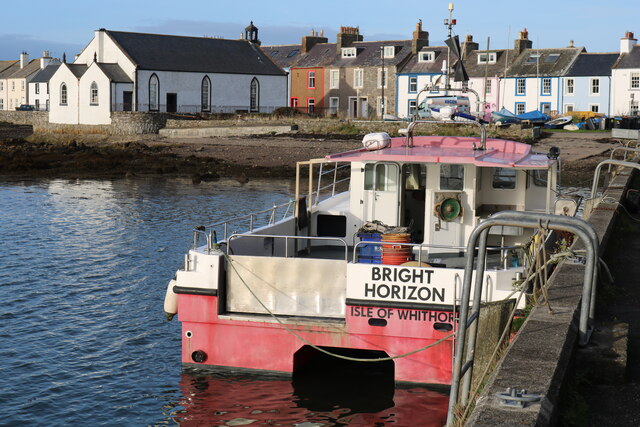
Isle of Whithorn
Isle of Whithorn (Port Rosnait in Gaelic) is one of the most southerly villages and seaports in Scotland, lying on the coast north east of Burrow Head...
Burrow Head
Burrow Head is a headland located approximately two miles south-west of Isle of Whithorn, Wigtownshire, Scotland, and is the second southernmost point...

Candida Casa
Candida Casa was the name given to the church established by St Ninian in Whithorn, Galloway, southern Scotland, in the mid fifth century AD. The name...

Whithorn Priory
Whithorn Priory was a medieval Scottish monastery that also served as a cathedral, located at 6 Bruce Street in Whithorn, Wigtownshire, Dumfries and Galloway...
Nearby Amenities
Located within 500m of 54.69635,-4.3586188Have you been to Isle Head?
Leave your review of Isle Head below (or comments, questions and feedback).