Bob Muir
Coastal Feature, Headland, Point in Wigtownshire
Scotland
Bob Muir

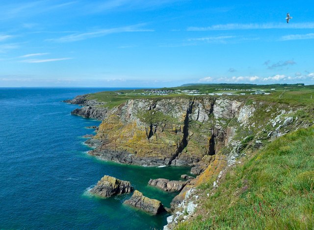
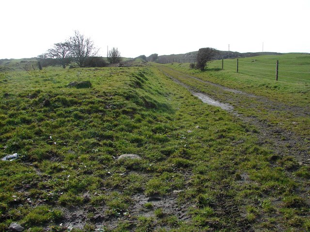
Bob Muir is a prominent coastal feature located in Wigtownshire, Scotland. It is characterized as a headland or a point that juts out into the Irish Sea. Situated on the southwestern coast of Scotland, it offers breathtaking views of the surrounding landscape and the vast expanse of the sea.
The headland of Bob Muir is known for its rugged terrain and towering cliffs that reach heights of up to 100 meters. The cliffs are composed of sedimentary rocks, showcasing layers of sandstone and shale, which provide a glimpse into the geological history of the area. These cliffs also serve as nesting grounds for numerous seabirds, creating a vibrant ecosystem.
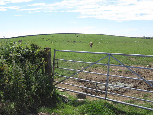
The coastal feature offers a variety of recreational activities for visitors. Hiking trails meander along the cliffs, providing opportunities to explore the stunning coastline and observe the diverse flora and fauna. The headland is also a popular spot for birdwatching, as it attracts a wide range of seabirds, including puffins, guillemots, and razorbills.
Bob Muir is easily accessible by road, with a parking area available for visitors. The coastal feature is a significant landmark in the region, and its distinctive shape and natural beauty make it a popular destination for photographers and nature enthusiasts alike.
Overall, Bob Muir in Wigtownshire is a captivating headland that offers a unique combination of dramatic cliffs, stunning vistas, and abundant wildlife. Its natural beauty and recreational opportunities make it a must-visit location for anyone exploring the southwestern coast of Scotland.
If you have any feedback on the listing, please let us know in the comments section below.
Bob Muir Images
Images are sourced within 2km of 54.723446/-4.3644325 or Grid Reference NX4739. Thanks to Geograph Open Source API. All images are credited.


Bob Muir is located at Grid Ref: NX4739 (Lat: 54.723446, Lng: -4.3644325)
Unitary Authority: Dumfries and Galloway
Police Authority: Dumfries and Galloway
What 3 Words
///backpack.poorly.wiggling. Near Whithorn, Dumfries & Galloway
Nearby Locations
Related Wikis

Isle of Whithorn
Isle of Whithorn (Port Rosnait in Gaelic) is one of the most southerly villages and seaports in Scotland, lying on the coast north east of Burrow Head...

Whithorn
Whithorn (Scots pronunciation: [ˈʍɪthorn], Taigh Mhàrtainn in modern Gaelic), is a royal burgh in the historic county of Wigtownshire in Dumfries and Galloway...
Candida Casa
Candida Casa was the name given to the church established by St Ninian in Whithorn, Galloway, southern Scotland, in the mid fifth century AD. The name...

Whithorn Priory
Whithorn Priory was a medieval Scottish monastery that also served as a cathedral, located at 6 Bruce Street in Whithorn, Wigtownshire, Dumfries and Galloway...
Whithorn railway station
Whithorn is the closed terminus of the Wigtownshire Railway branch, from Newton Stewart, of the Portpatrick and Wigtownshire Joint Railway. It served...
Rispain Camp
Rispain Camp is the remains of a fortified farmstead 1 mile west of Whithorn, Dumfries and Galloway, Scotland. It is one of the major Iron Age archaeological...
Burrow Head
Burrow Head is a headland located approximately two miles south-west of Isle of Whithorn, Wigtownshire, Scotland, and is the second southernmost point...
Broughton Skeog railway station
Broughton Skeog (NX4554444071) was a railway station that was located near level crossing gates over a minor road on the Wigtownshire Railway branch line...
Nearby Amenities
Located within 500m of 54.723446,-4.3644325Have you been to Bob Muir?
Leave your review of Bob Muir below (or comments, questions and feedback).