Nelson
Coastal Feature, Headland, Point in Wigtownshire
Scotland
Nelson
Nelson, Wigtownshire is a prominent headland located on the west coast of Scotland, in the region of Dumfries and Galloway. Situated in the picturesque area of Wigtownshire, Nelson stands as a defining coastal feature along the Irish Sea.
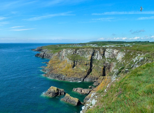
This headland, or point, is characterized by its rugged and rocky terrain, jutting out into the sea and providing stunning panoramic views of the surrounding landscape. Its strategic location offers visitors a unique vantage point to witness the power and beauty of the ocean. On a clear day, one can observe the vast expanse of the Irish Sea, with its deep blue waters blending seamlessly with the sky.
The headland is named after Admiral Horatio Nelson, a prominent British naval officer who played a significant role in various naval battles during the late 18th and early 19th centuries. The name pays homage to his achievements and serves as a tribute to his contributions to British naval history.
Nelson, Wigtownshire is a popular destination for locals and tourists alike, who visit to enjoy the natural beauty and tranquility of the area. The headland offers opportunities for coastal walks, birdwatching, and photography. Its dramatic cliffs and rocky outcrops also attract rock climbers and adventure enthusiasts.
The headland is easily accessible, with well-maintained paths and parking facilities available nearby. Local amenities, such as cafes, restaurants, and accommodations, can be found in the nearby town of Wigtown, which is known for its literary heritage and charming atmosphere.
Overall, Nelson, Wigtownshire stands as a striking coastal feature, inviting visitors to immerse themselves in the rugged beauty of Scotland's west coast.
If you have any feedback on the listing, please let us know in the comments section below.
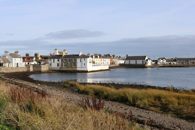
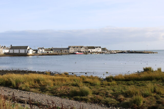
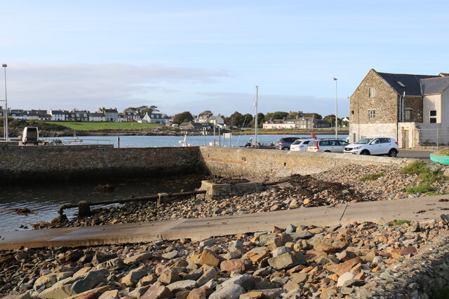
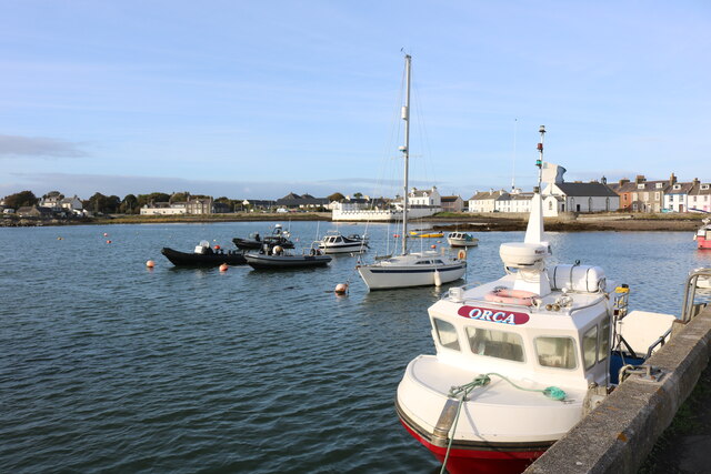
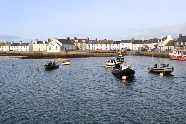
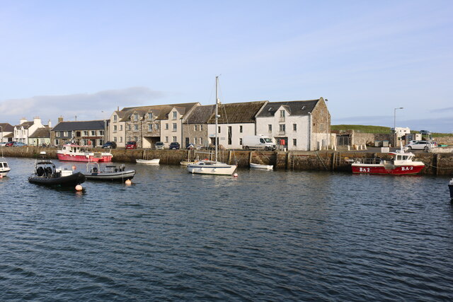
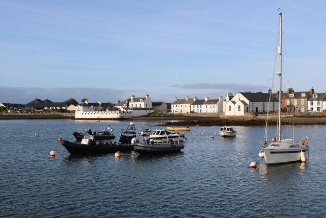
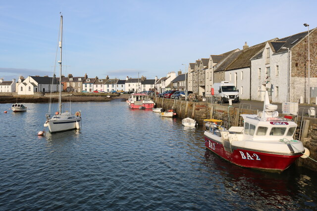
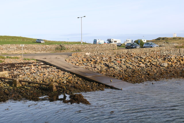
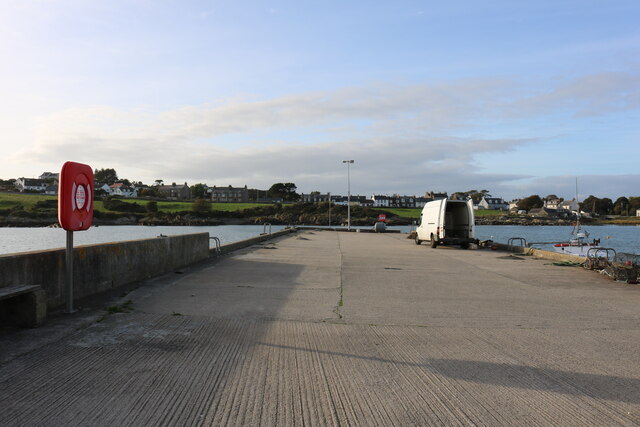
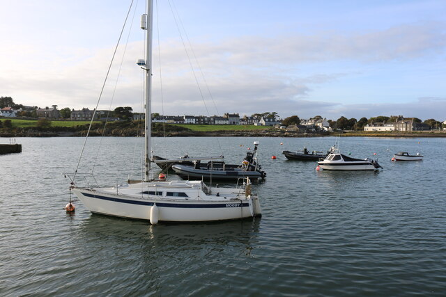
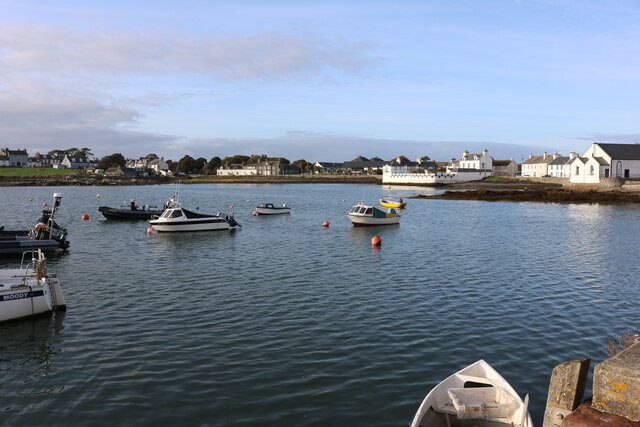
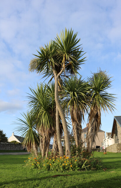
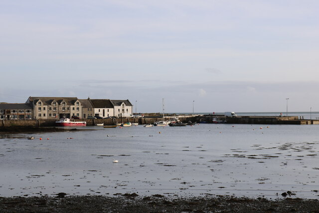
Nelson Images
Images are sourced within 2km of 54.692207/-4.3627079 or Grid Reference NX4735. Thanks to Geograph Open Source API. All images are credited.
Nelson is located at Grid Ref: NX4735 (Lat: 54.692207, Lng: -4.3627079)
Unitary Authority: Dumfries and Galloway
Police Authority: Dumfries and Galloway
What 3 Words
///hardening.manuals.emerald. Near Whithorn, Dumfries & Galloway
Related Wikis

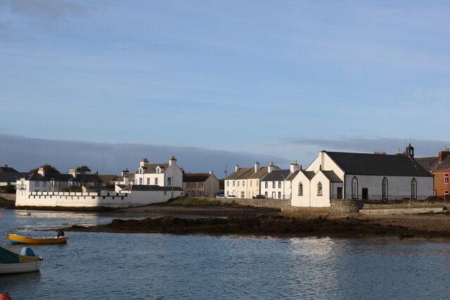
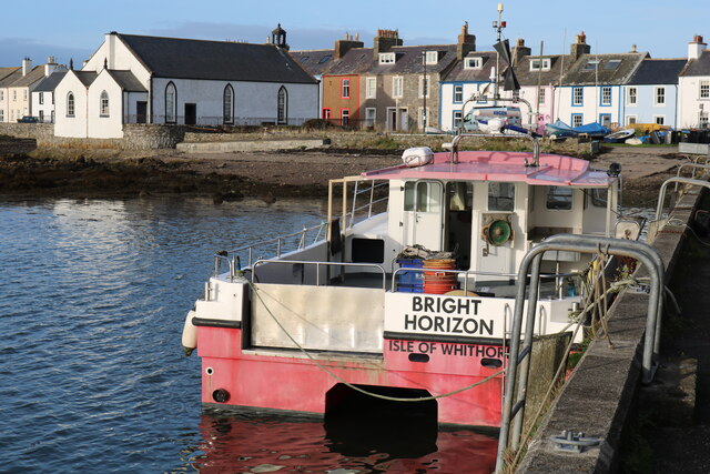
Isle of Whithorn
Isle of Whithorn (Port Rosnait in Gaelic) is one of the most southerly villages and seaports in Scotland, lying on the coast north east of Burrow Head...
Burrow Head
Burrow Head is a headland located approximately two miles south-west of Isle of Whithorn, Wigtownshire, Scotland, and is the second southernmost point...

St Ninian's Cave
St Ninian's Cave is a cave in Physgill Glen, Whithorn, Dumfries and Galloway, Scotland. It features in the climax of the acclaimed 1973 horror film The...

Candida Casa
Candida Casa was the name given to the church established by St Ninian in Whithorn, Galloway, southern Scotland, in the mid fifth century AD. The name...
Nearby Amenities
Located within 500m of 54.692207,-4.3627079Have you been to Nelson?
Leave your review of Nelson below (or comments, questions and feedback).