Black Rock
Island in Wigtownshire
Scotland
Black Rock
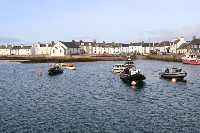
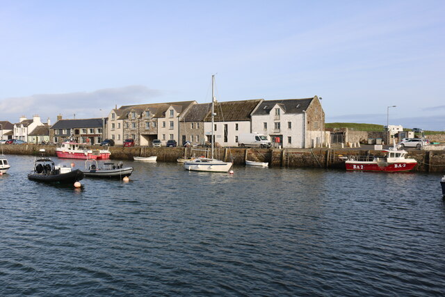
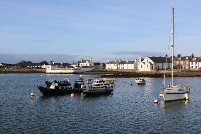
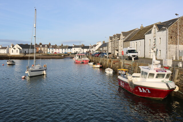
Black Rock is a small island located off the coast of Wigtownshire, in the southwest of Scotland. It is situated in the North Channel, between the Irish Sea and the Atlantic Ocean. The island is approximately 1.5 miles long and 0.5 miles wide, with a total land area of around 0.3 square miles.
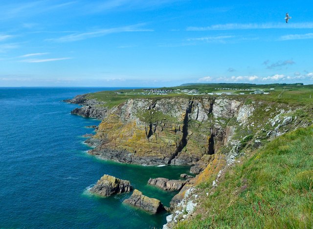
Black Rock is known for its rugged and rocky terrain, with steep cliffs rising from the sea. The island is uninhabited and has no permanent structures or facilities. Its isolation and lack of human interference make it a haven for various species of seabirds, including puffins, guillemots, and razorbills. These birds nest on the cliffs and use the island as a breeding ground during the summer months.
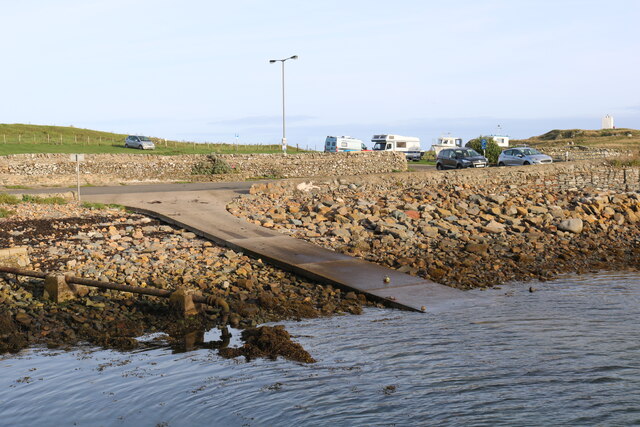
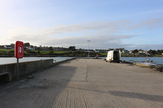
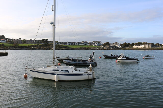
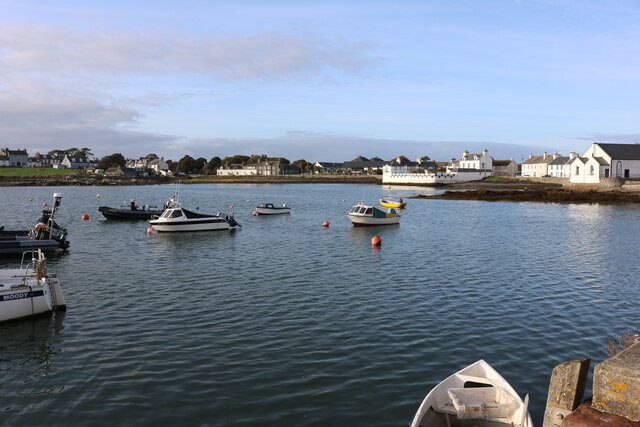
Access to Black Rock is limited and challenging. The island can only be reached by boat, and visitors must be cautious of the treacherous waters and strong currents in the area. Despite the difficulties, Black Rock attracts some adventurous explorers and nature enthusiasts looking to observe the unique wildlife and experience the untouched beauty of the island.
Due to its exposed location, Black Rock has a harsh and unpredictable climate, with strong winds and frequent storms. The vegetation on the island is sparse and consists mainly of grasses and low-lying shrubs. The surrounding waters are rich in marine life, and seals can often be seen basking on nearby rocks.
In summary, Black Rock is a remote and uninhabited island off the coast of Wigtownshire, renowned for its rugged cliffs, diverse bird population, and challenging access. It offers a glimpse into Scotland's untamed natural beauty and serves as a sanctuary for wildlife.
If you have any feedback on the listing, please let us know in the comments section below.
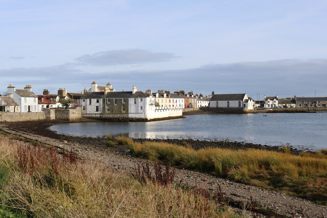
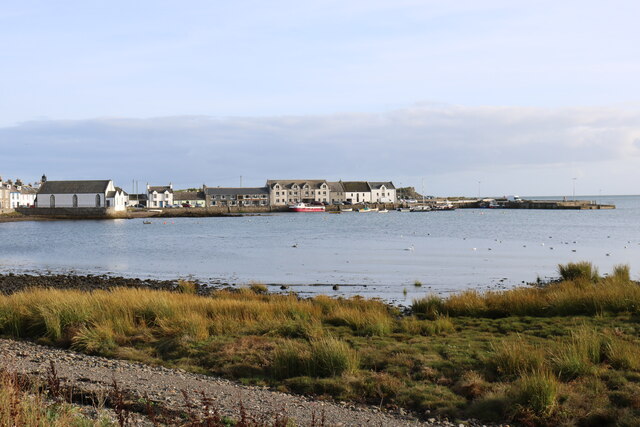
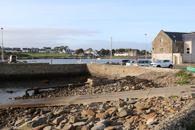
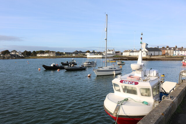
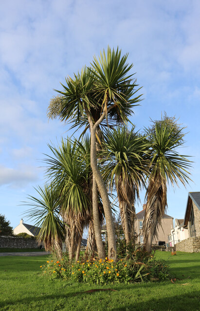
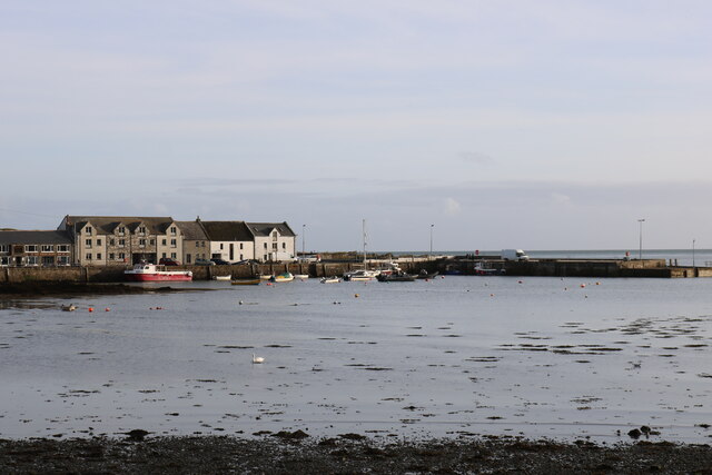
Black Rock Images
Images are sourced within 2km of 54.699364/-4.363062 or Grid Reference NX4736. Thanks to Geograph Open Source API. All images are credited.
Black Rock is located at Grid Ref: NX4736 (Lat: 54.699364, Lng: -4.363062)
Unitary Authority: Dumfries and Galloway
Police Authority: Dumfries and Galloway
What 3 Words
///monks.breathed.blip. Near Whithorn, Dumfries & Galloway
Nearby Locations
Related Wikis

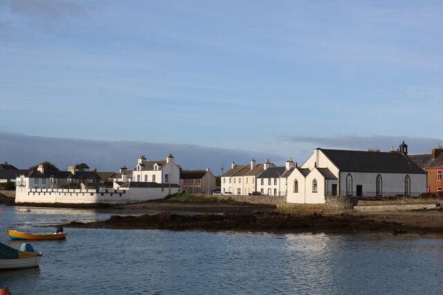
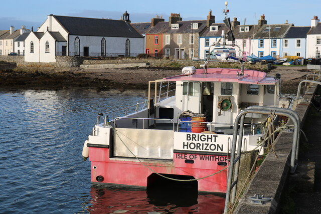
Isle of Whithorn
Isle of Whithorn (Port Rosnait in Gaelic) is one of the most southerly villages and seaports in Scotland, lying on the coast north east of Burrow Head...
Burrow Head
Burrow Head is a headland located approximately two miles south-west of Isle of Whithorn, Wigtownshire, Scotland, and is the second southernmost point...

Candida Casa
Candida Casa was the name given to the church established by St Ninian in Whithorn, Galloway, southern Scotland, in the mid fifth century AD. The name...

Whithorn Priory
Whithorn Priory was a medieval Scottish monastery that also served as a cathedral, located at 6 Bruce Street in Whithorn, Wigtownshire, Dumfries and Galloway...
Nearby Amenities
Located within 500m of 54.699364,-4.363062Have you been to Black Rock?
Leave your review of Black Rock below (or comments, questions and feedback).