A' Chòir

Island in Argyllshire

Scotland

A' Chòir

Camouflaged Sea Eagle at the Point of Knap More used to seeing seagulls on the rocky shoreline on the Point of Knap, I was a bit surprised to see a Sea Eagle perched on a boulder. The birds plumage blending well with its surroundings with only a white tail giving it away (can you spot it?)
Camouflaged Sea Eagle at the Point of Knap Credit: Iain James

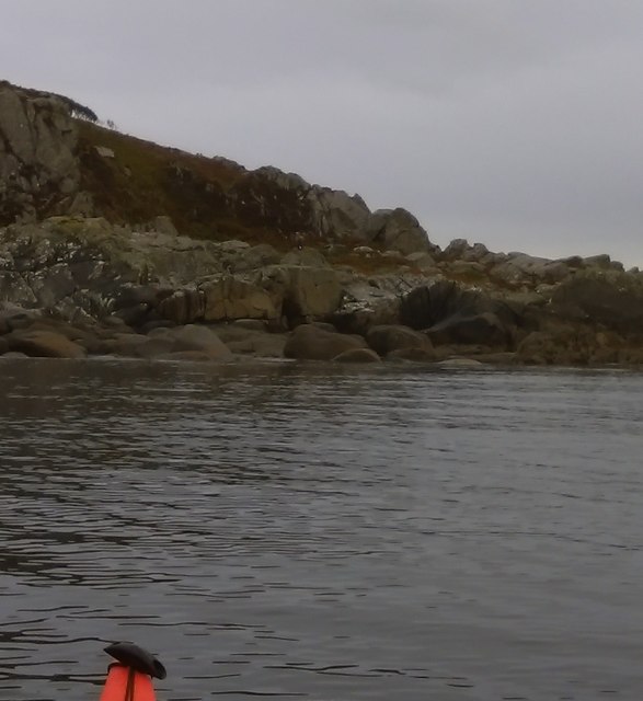
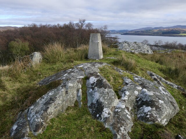
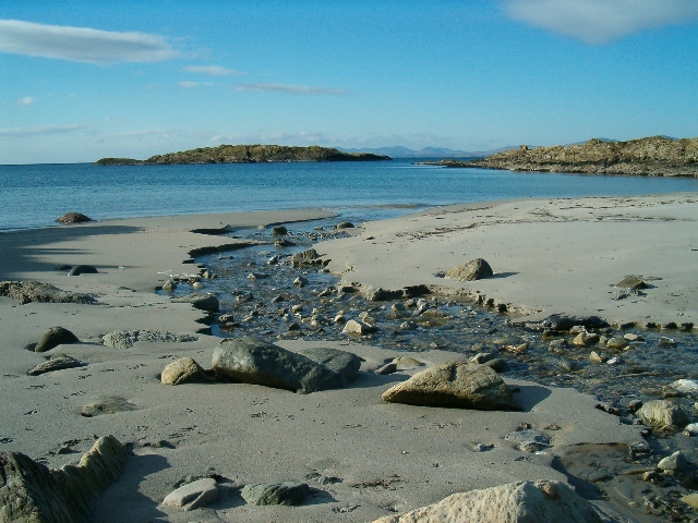
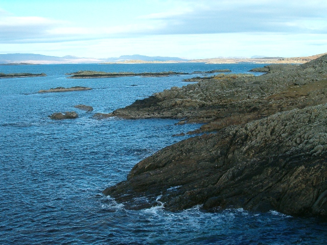
A' Chòir, also known as A' Chòir Island, is a small island located off the west coast of Scotland in Argyllshire. Situated in the Firth of Lorn, it is part of a small archipelago known as the Slate Islands. A' Chòir Island spans an area of approximately 1.5 hectares and is predominantly composed of slate, which gives the island its name.

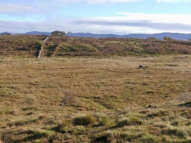
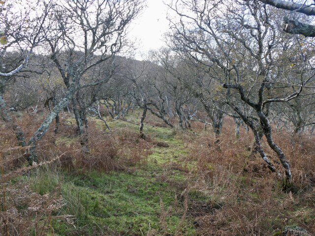
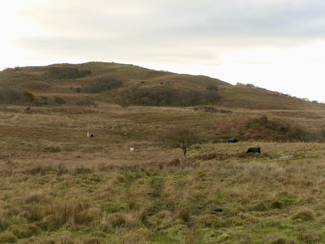
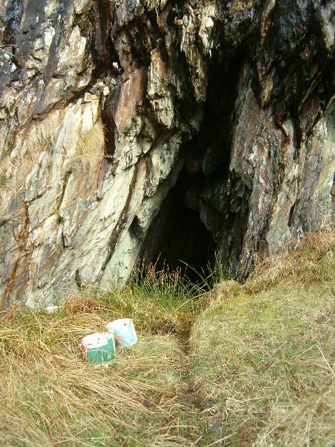
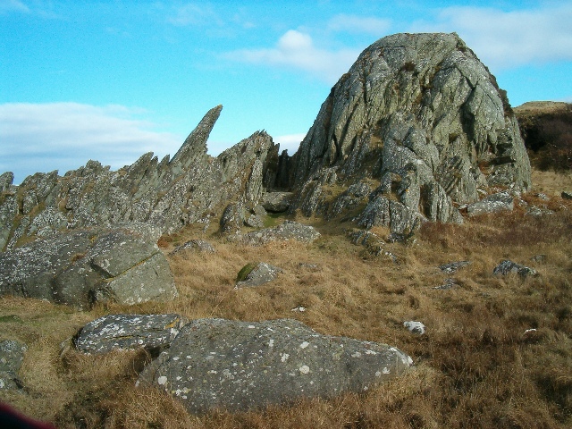
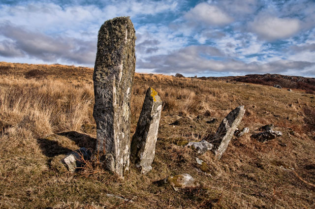
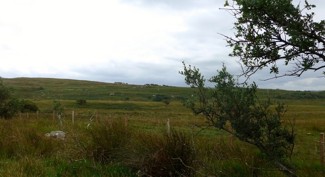
The island is uninhabited and lacks any permanent structures or facilities. It is mainly characterized by its rugged and rocky terrain, with steep cliffs and jagged edges. Vegetation on the island is limited, consisting mostly of hardy grasses and mosses.

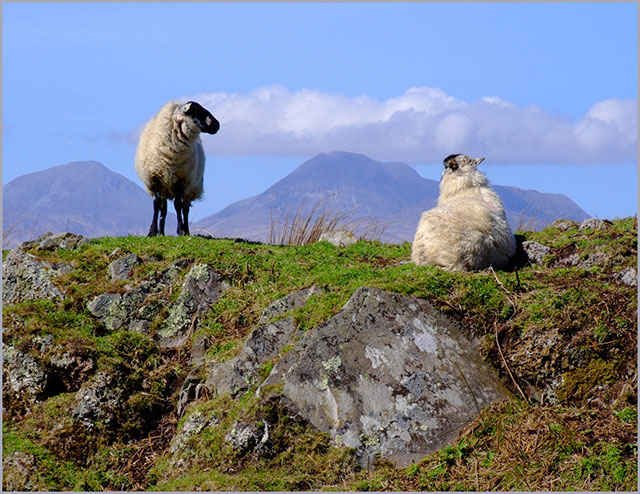
A' Chòir Island is a popular destination for wildlife enthusiasts and birdwatchers, as it serves as a breeding ground and habitat for various seabirds. Species such as guillemots, razorbills, and puffins can be found nesting on the island's rocky ledges. Seals are also known to frequent the surrounding waters, adding to the island's wildlife diversity.

Access to A' Chòir Island is limited, and visitors typically reach it by boat or kayak from nearby towns such as Oban or Easdale. Its remote and untouched nature offers a serene and tranquil experience for those seeking solitude in a natural setting.

Overall, A' Chòir Island is a picturesque and isolated destination, renowned for its stunning coastal scenery, diverse wildlife, and sense of untouched beauty.

If you have any feedback on the listing, please let us know in the comments section below.

A' Chòir Images

Images are sourced within 2km of 55.886506/-5.6844091 or Grid Reference NR6972. Thanks to Geograph Open Source API. All images are credited.

Camouflaged Sea Eagle at the Point of Knap More used to seeing seagulls on the rocky shoreline on the Point of Knap, I was a bit surprised to see a Sea Eagle perched on a boulder. The birds plumage blending well with its surroundings with only a white tail giving it away (can you spot it?)
Camouflaged Sea Eagle at the Point of Knap
More used to seeing seagulls on the rocky shoreline on the Point of Knap, I was a bit surprised to see a Sea Eagle perched on a boulder. The birds plumage blending well with its surroundings with only a white tail giving it away (can you spot it?)
Small Islets North of the Point of Knap Gigha is seen on the horizon as we paddle through the small Islets inshore of Eilean Naomhachd heading for the Point of Knap.
Small Islets North of the Point of Knap
Gigha is seen on the horizon as we paddle through the small Islets inshore of Eilean Naomhachd heading for the Point of Knap.
Sound of Jura Point of Knap with Jura in the distance
Sound of Jura
Point of Knap with Jura in the distance
Rough grazing land near Balimore
Rough pasture, Balimore Grazed by cattle.
Rough pasture, Balimore
Grazed by cattle.
Wind shaped birches near Point of Knap
Cattle near Balimore Rough grazing with the Paps of Jura beyond. The wisp of cloud is a sign of more humid air, cloud cover appeared not long after this was taken.
Cattle near Balimore
Rough grazing with the Paps of Jura beyond. The wisp of cloud is a sign of more humid air, cloud cover appeared not long after this was taken.
Boggy grassland, Point of Knap Grazed by cattle.
Boggy grassland, Point of Knap
Grazed by cattle.
Birchwood, Point of Knap
Point of Knap Summit with the triangulation pillar beyond.
Point of Knap
Summit with the triangulation pillar beyond.
Rough grazing, Balimore View towards the hill above Point of Knap.
Rough grazing, Balimore
View towards the hill above Point of Knap.
Port an Aomaidh and Glas Eilean The only footprints on this beach this morning were from red deer ...
Port an Aomaidh and Glas Eilean
The only footprints on this beach this morning were from red deer ...
Rocky coastline, looking north towards Jura
Uamh Stocare
Uamh Stocare
Jagged rockscape
Jagged rockscape
Kilmory Knap, looking to Paps of Jura This rugged (knaps) and boggy land is used for sheep and cattle grazing.
Kilmory Knap, looking to Paps of Jura
This rugged (knaps) and boggy land is used for sheep and cattle grazing.
Standing Stones These stones are just north of Uamh Stocaire, a cave recorded in the Canmore database. Are they natural or man made, in ancient times?
Standing Stones
These stones are just north of Uamh Stocaire, a cave recorded in the Canmore database. Are they natural or man made, in ancient times?
Moorland south of Balimore
Show me another place!

A' Chòir is located at Grid Ref: NR6972 (Lat: 55.886506, Lng: -5.6844091)

Unitary Authority: Argyll and Bute

Police Authority: Argyll and West Dunbartonshire

What 3 Words

///textiles.painting.forgotten. Near Tarbert, Argyll & Bute

Related Wikis

Kilmory, Knapdale

Kilmory (Scottish Gaelic: Cill Mhoire) is a hamlet in the civil parish of South Knapdale, on Knapdale, Argyll and Bute, Scotland. It is situated near the...

Kilmory Knap Chapel

Kilmory Knap Chapel is a 13th-century Christian chapel, located at the tiny hamlet of Kilmory, in Knapdale, Argyll and Bute, on the west coast of Scotland...

Druimdrishaig

Druimdrishaig is a hamlet in Argyll and Bute, Scotland, on the shore of Loch Caolisport. == References ==

Eilean Mòr, MacCormaig Isles

Eilean Mòr ("Big Isle") is one of the MacCormaig Isles situated near the entrance to Loch Sween in the Sound of Jura, Argyll and Bute, Scotland. Eilean...

Baile Boidheach

Baile Boidheach (Scottish Gaelic: Am Baile Bòidheach) is a hamlet in Argyll and Bute, Scotland.

Ormsary

Ormsary (Scottish Gaelic: Ormsaraidh) is a hamlet in Knapdale, Argyll and Bute, Scotland. == References ==

Island of Danna

The Island of Danna or Danna (Scottish Gaelic: Danna), is an inhabited tidal island in Argyll and Bute. == Geography == It is connected to the mainland...

Kilberry

Kilberry (Scottish Gaelic: Cill Bheiridh) is a village in Argyll and Bute, Scotland. It is close to the western coast of the district of Knapdale. Kilberry...

Nearby Amenities

Located within 500m of 55.886506,-5.6844091
Point of Knap
Natural: cape
Lat/Long: 55.886062/-5.6798405
The data included in this document is from www.openstreetmap.org. The data is made available under ODbL.

Have you been to A' Chòir?

Leave your review of A' Chòir below (or comments, questions and feedback).