Port an t-Salainn
Bay in Argyllshire
Scotland
Port an t-Salainn
Port an t-Salainn, also known as Bay in English, is a picturesque coastal village located in Argyllshire, Scotland. Situated on the western coast of the country, it is known for its stunning natural beauty and historic significance. The name Port an t-Salainn translates to "Bay of Salt," referring to its historical association with salt production.
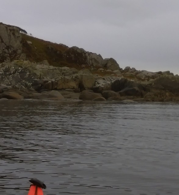
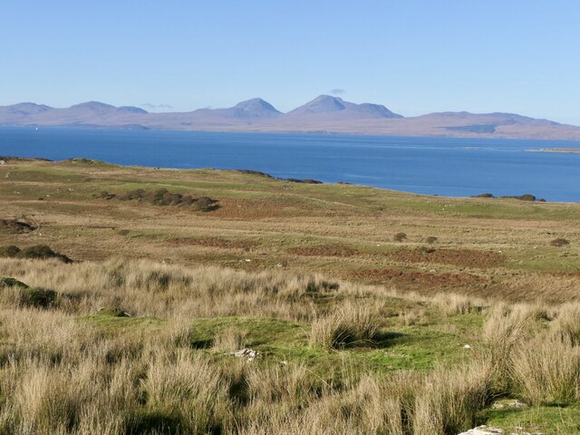
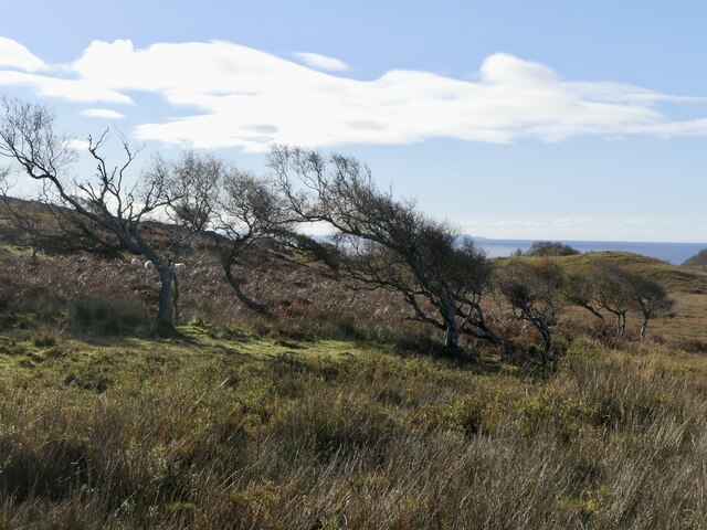
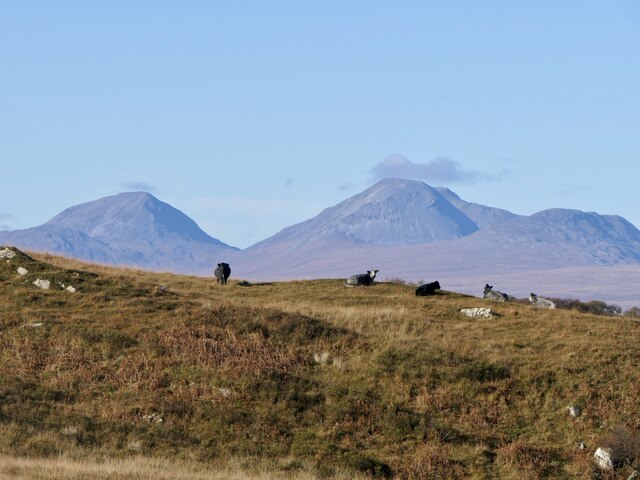
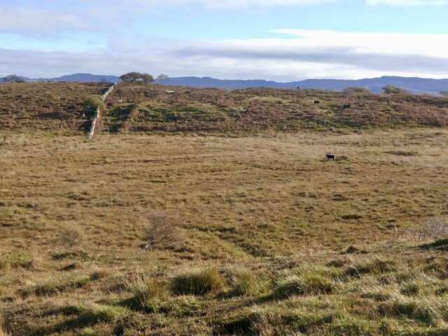
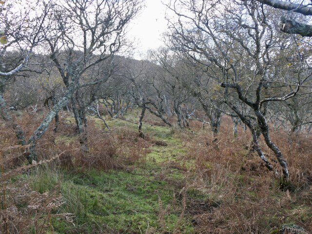
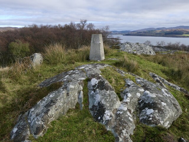
The village is nestled within a sheltered bay, surrounded by rolling hills and breathtaking landscapes. Its idyllic location makes it a popular destination for outdoor enthusiasts and nature lovers. The bay offers stunning views of the crystal-clear waters of the Atlantic Ocean, and visitors can enjoy activities like fishing, boating, and kayaking.
One of the prominent features of Port an t-Salainn is its charming harbor, which plays an essential role in the local fishing industry. The harbor is home to a small fleet of fishing boats, and visitors can witness the daily activities of the local fishermen as they bring in their catch of the day.
The village itself exudes a quaint and traditional atmosphere, with a few shops, cafes, and accommodations for tourists. Its friendly and welcoming community ensures that visitors feel a genuine sense of Scottish hospitality.
For history enthusiasts, Port an t-Salainn offers several attractions, including ancient ruins and archaeological sites. The area is known to have a rich historical heritage, with evidence of human occupation dating back to prehistoric times.
In conclusion, Port an t-Salainn is a hidden gem on the western coast of Scotland. With its stunning natural beauty, rich history, and warm community, it is a must-visit destination for those seeking a peaceful and scenic escape.
If you have any feedback on the listing, please let us know in the comments section below.
Port an t-Salainn Images
Images are sourced within 2km of 55.889667/-5.682757 or Grid Reference NR6972. Thanks to Geograph Open Source API. All images are credited.


Port an t-Salainn is located at Grid Ref: NR6972 (Lat: 55.889667, Lng: -5.682757)
Unitary Authority: Argyll and Bute
Police Authority: Argyll and West Dunbartonshire
What 3 Words
///roost.mailbox.conforms. Near Tarbert, Argyll & Bute
Related Wikis

Kilmory, Knapdale
Kilmory (Scottish Gaelic: Cill Mhoire) is a hamlet in the civil parish of South Knapdale, on Knapdale, Argyll and Bute, Scotland. It is situated near the...

Kilmory Knap Chapel
Kilmory Knap Chapel is a 13th-century Christian chapel, located at the tiny hamlet of Kilmory, in Knapdale, Argyll and Bute, on the west coast of Scotland...

Druimdrishaig
Druimdrishaig is a hamlet in Argyll and Bute, Scotland, on the shore of Loch Caolisport. == References ==

Eilean Mòr, MacCormaig Isles
Eilean Mòr ("Big Isle") is one of the MacCormaig Isles situated near the entrance to Loch Sween in the Sound of Jura, Argyll and Bute, Scotland. Eilean...
Baile Boidheach
Baile Boidheach (Scottish Gaelic: Am Baile Bòidheach) is a hamlet in Argyll and Bute, Scotland.
Ormsary
Ormsary (Scottish Gaelic: Ormsaraidh) is a hamlet in Knapdale, Argyll and Bute, Scotland. == References ==

Island of Danna
The Island of Danna or Danna (Scottish Gaelic: Danna), is an inhabited tidal island in Argyll and Bute. == Geography == It is connected to the mainland...

Kilberry
Kilberry (Scottish Gaelic: Cill Bheiridh) is a village in Argyll and Bute, Scotland. It is close to the western coast of the district of Knapdale. Kilberry...
Related Videos

Kilmory Knap Chapel - Argyll & Bute Scotland
Kilmory Knap Chapel is a 13th-century Christian chapel, located at the tiny hamlet of Kilmory, in Knapdale, Argyll and Bute, on the ...

Kilmory beach Scotland (sunset)
02-01-2022.
Nearby Amenities
Located within 500m of 55.889667,-5.682757Have you been to Port an t-Salainn?
Leave your review of Port an t-Salainn below (or comments, questions and feedback).