Eilean Mòr
Island in Argyllshire
Scotland
Eilean Mòr
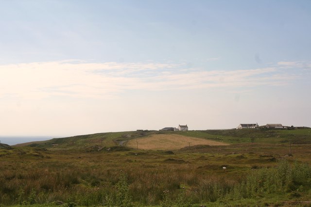
Eilean Mòr is a small island located in Argyllshire, on the western coast of Scotland. It is part of the Inner Hebrides, a group of islands known for their rugged beauty and rich history. Eilean Mòr, also known as "Big Island" in Scottish Gaelic, is aptly named as it is the largest of the Treshnish Isles.
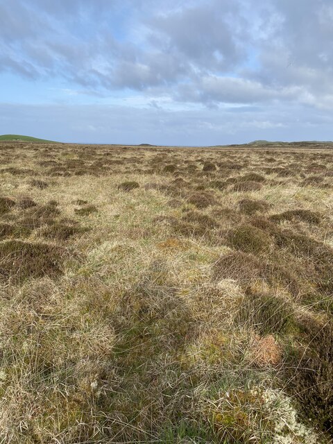
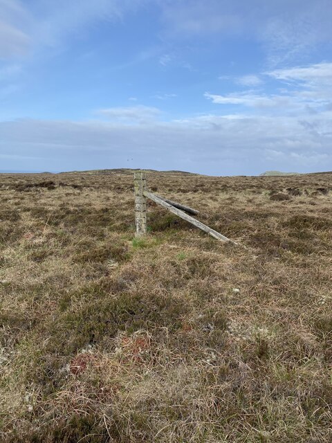
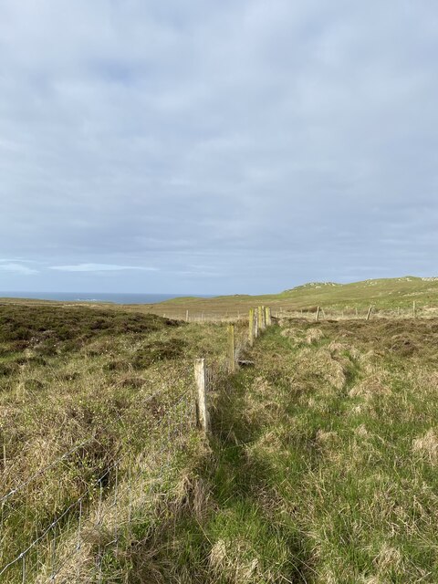
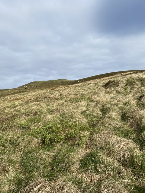
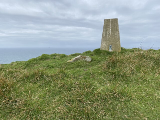
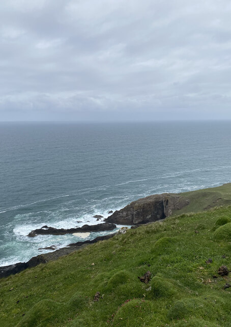
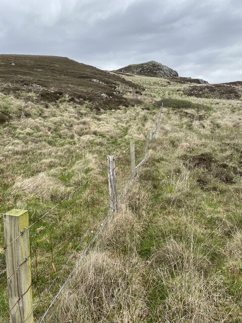
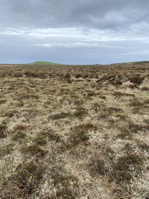
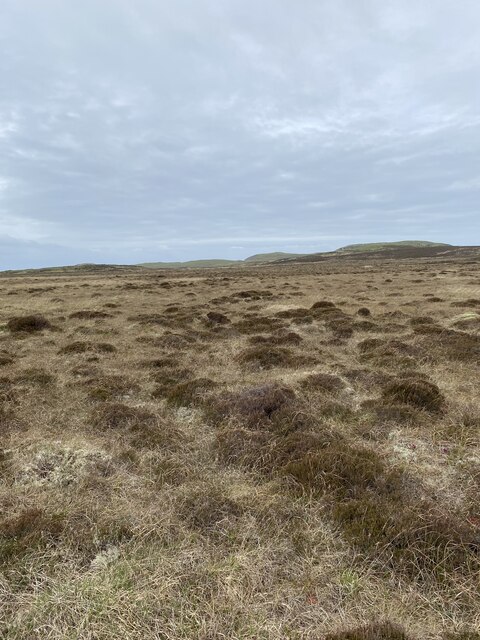
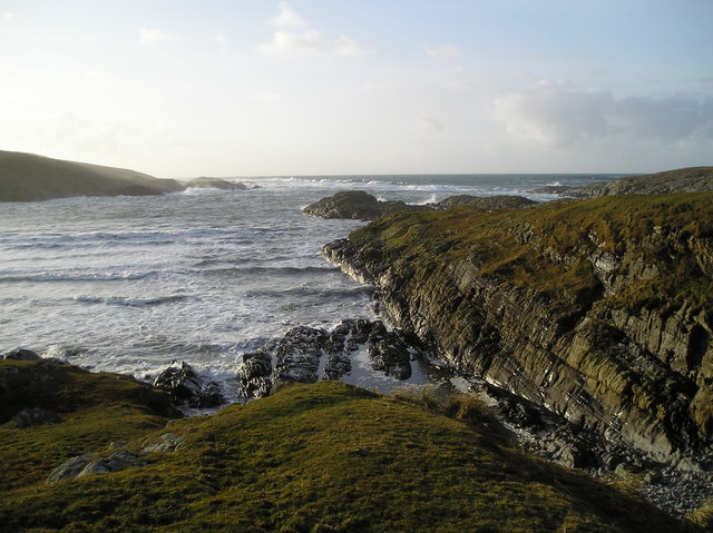
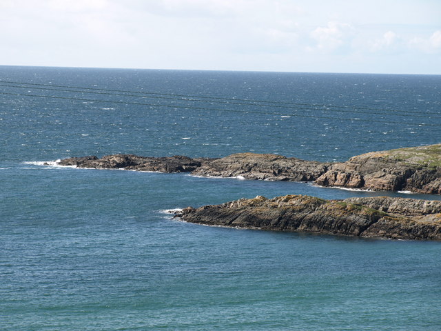
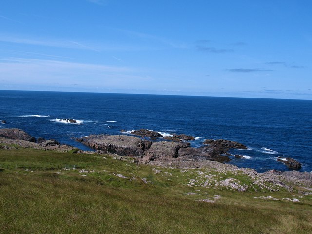
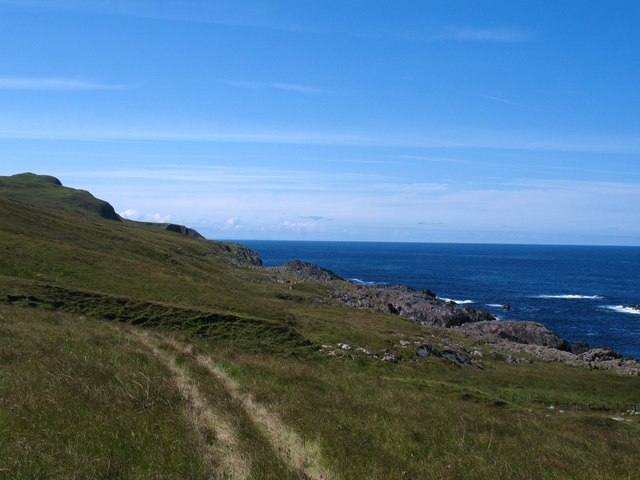
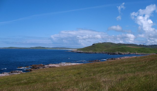
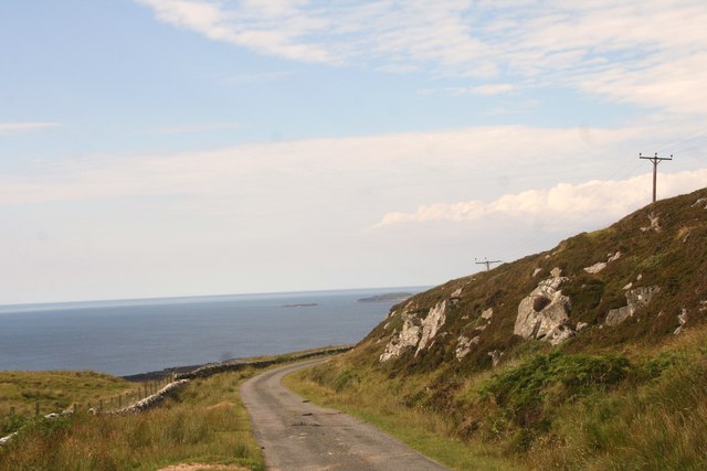
The island measures approximately 1.5 kilometers in length and is characterized by its dramatic cliffs and rocky coastline. It is predominantly uninhabited, with only a few ruins and remnants of human presence from past centuries. The sparse vegetation consists mainly of grasses and heather, adding to the island's wild and untouched feel.
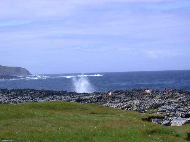
Eilean Mòr is renowned for its diverse wildlife, particularly its seabird colonies. Puffins, guillemots, and razorbills nest on the cliffs, while various species of gulls and fulmars are also common. The surrounding waters are teeming with marine life, including seals, dolphins, and occasionally even whales.
The island's remote location and untouched landscapes make it a popular destination for nature enthusiasts and birdwatchers. Visitors can enjoy hiking along the rugged coastline, taking in the breathtaking views and observing the abundant wildlife. However, due to its delicate ecosystem, access to the island is strictly regulated to protect its natural beauty.
In summary, Eilean Mòr is a picturesque and untouched island in Argyllshire, Scotland. With its dramatic cliffs, diverse wildlife, and remote location, it offers a unique and memorable experience for those seeking to immerse themselves in the beauty of the Scottish coast.
If you have any feedback on the listing, please let us know in the comments section below.
Eilean Mòr Images
Images are sourced within 2km of 55.740007/-6.4865275 or Grid Reference NR1858. Thanks to Geograph Open Source API. All images are credited.
Eilean Mòr is located at Grid Ref: NR1858 (Lat: 55.740007, Lng: -6.4865275)
Unitary Authority: Argyll and Bute
Police Authority: Argyll and West Dunbartonshire
What 3 Words
///scrum.earplugs.casual. Near Port Charlotte, Argyll & Bute
Nearby Locations
Related Wikis

Rinns of Islay
The Rinns of Islay (Scottish Gaelic: Na Roinn Ìleach; alternative English spelling Rhinns of Islay) is an area on the west of the island of Islay in the...

RAF Kilchiaran
RAF Kilchiaran was a Royal Air Force radar station situated on the Isle of Islay in Scotland. It was originally active from 1940-1945. In 1954 the base...

Kilchoman
Kilchoman ( kil-(K)HOM-ən; Scottish Gaelic: Cill Chomain [kʲʰiːʎ ˈxɔmɛɲ]) is a small settlement and large parish on the Scottish island of Islay, within...

Nerabus
Nerabus (otherwise Nereabolls) is a hamlet in the west of the isle of Islay in Scotland. The vicinity is noted for its scenic qualities and diverse birdlife...

Easter Ellister
Easter Ellister (Aolastradh) is a settlement on the Rinns of Islay on Islay in the Inner Hebrides of Scotland. It lies just off the A847 road between Portnahaven...

Islay LIMPET
Islay LIMPET was the world's first commercial wave power device and was connected to the United Kingdom's National Grid. == History == Islay LIMPET (Land...

Kilchoman distillery
Kilchoman distillery (pronounced Kil-ho-man) is a distillery that produces single malt Scotch whisky on Islay, an island of the Inner Hebrides. Kilchoman...
Clark Cottage
Clark Cottage is a residential building in the Scottish village of Port Charlotte on the island of Islay. The building is on the eastern side of Main Street...
Have you been to Eilean Mòr?
Leave your review of Eilean Mòr below (or comments, questions and feedback).