An Gleann
Valley in Argyllshire
Scotland
An Gleann

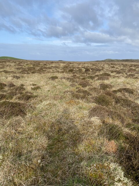
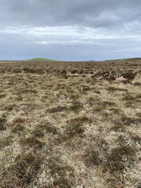
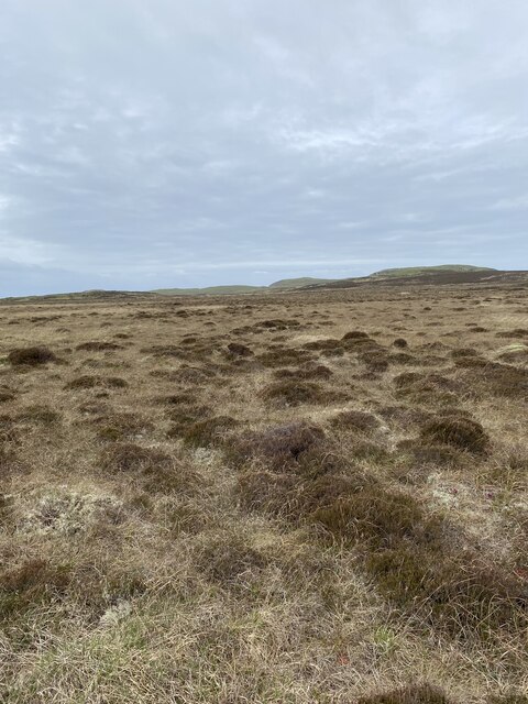
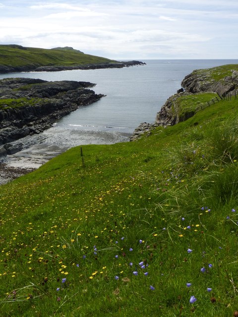
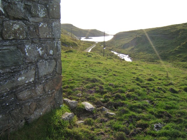
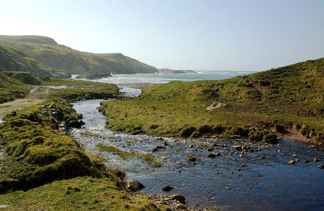
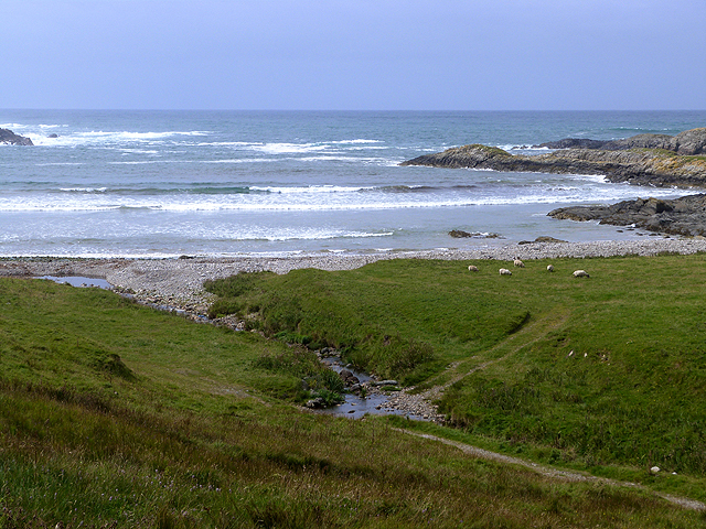
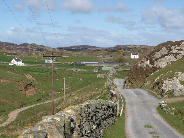
An Gleann, also known as the Valley, is a picturesque and charming area located in Argyllshire, Scotland. Nestled between rolling hills and surrounded by lush greenery, it offers a breathtaking natural landscape that attracts visitors from all around the world.
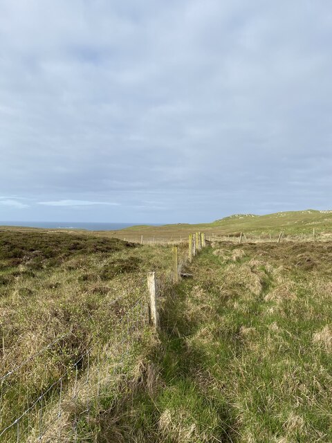
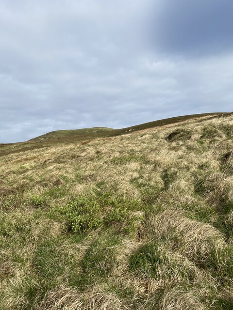
The valley is blessed with a diverse range of flora and fauna, making it an ideal destination for nature lovers and outdoor enthusiasts. Hiking trails meander through the valley, allowing visitors to explore its beauty at their own pace. The terrain is varied, ranging from gentle slopes to more challenging inclines, providing options for both beginners and experienced hikers.
The valley is also home to a tranquil river that flows through its heart, offering peaceful spots for picnics and moments of reflection. The crystal-clear waters of the river are also a popular spot for fishing, attracting anglers in search of salmon and trout.
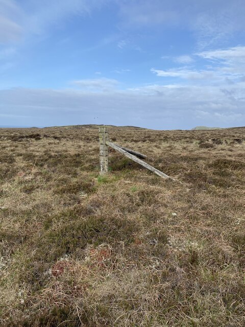
An Gleann boasts a rich history, with ancient ruins and archaeological sites dotting the landscape. Visitors can explore ancient stone circles, burial mounds, and remnants of old settlements, providing a glimpse into the valley's past.
The valley is not only a haven for nature enthusiasts but also offers opportunities for adventure sports such as mountain biking and kayaking. The surrounding hills provide a perfect backdrop for paragliding and offer stunning views of the valley from above.
Whether you are seeking solace in nature, looking to immerse yourself in history, or craving adventure, An Gleann in Argyllshire is a destination that promises to captivate and inspire.
If you have any feedback on the listing, please let us know in the comments section below.
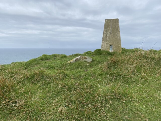
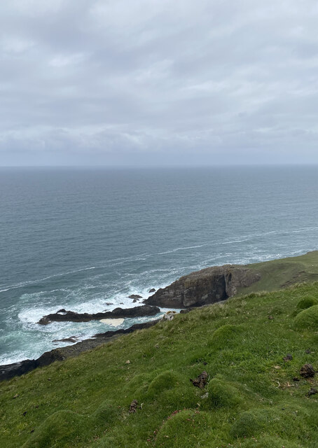
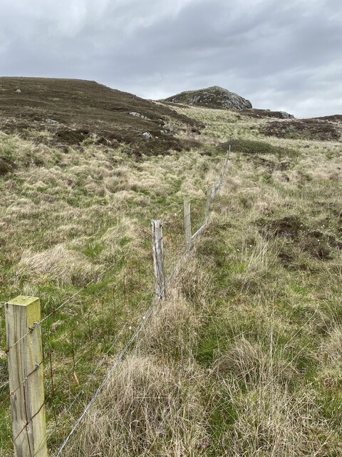
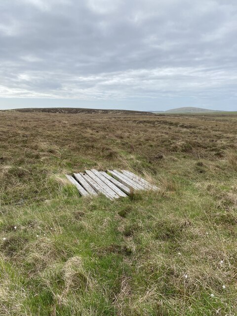
An Gleann Images
Images are sourced within 2km of 55.739711/-6.4798606 or Grid Reference NR1858. Thanks to Geograph Open Source API. All images are credited.


An Gleann is located at Grid Ref: NR1858 (Lat: 55.739711, Lng: -6.4798606)
Unitary Authority: Argyll and Bute
Police Authority: Argyll and West Dunbartonshire
What 3 Words
///overdone.fevered.altering. Near Port Charlotte, Argyll & Bute
Nearby Locations
Related Wikis

Rinns of Islay
The Rinns of Islay (Scottish Gaelic: Na Roinn Ìleach; alternative English spelling Rhinns of Islay) is an area on the west of the island of Islay in the...

RAF Kilchiaran
RAF Kilchiaran was a Royal Air Force radar station situated on the Isle of Islay in Scotland. It was originally active from 1940-1945. In 1954 the base...

Nerabus
Nerabus (otherwise Nereabolls) is a hamlet in the west of the isle of Islay in Scotland. The vicinity is noted for its scenic qualities and diverse birdlife...

Kilchoman
Kilchoman ( kil-(K)HOM-ən; Scottish Gaelic: Cill Chomain [kʲʰiːʎ ˈxɔmɛɲ]) is a small settlement and large parish on the Scottish island of Islay, within...
Nearby Amenities
Located within 500m of 55.739711,-6.4798606Have you been to An Gleann?
Leave your review of An Gleann below (or comments, questions and feedback).