Capull nan Alt
Island in Argyllshire
Scotland
Capull nan Alt
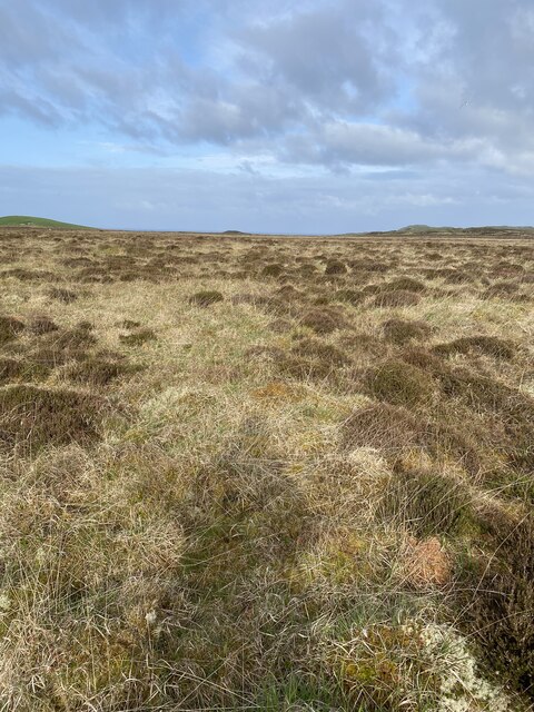
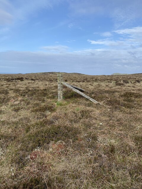
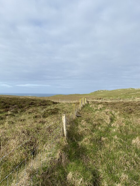
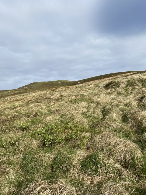
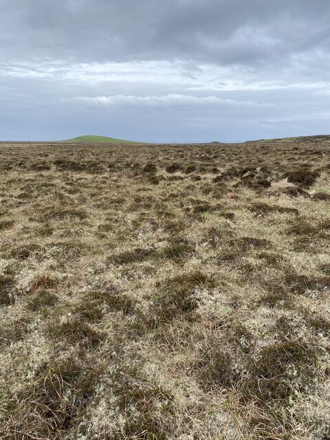
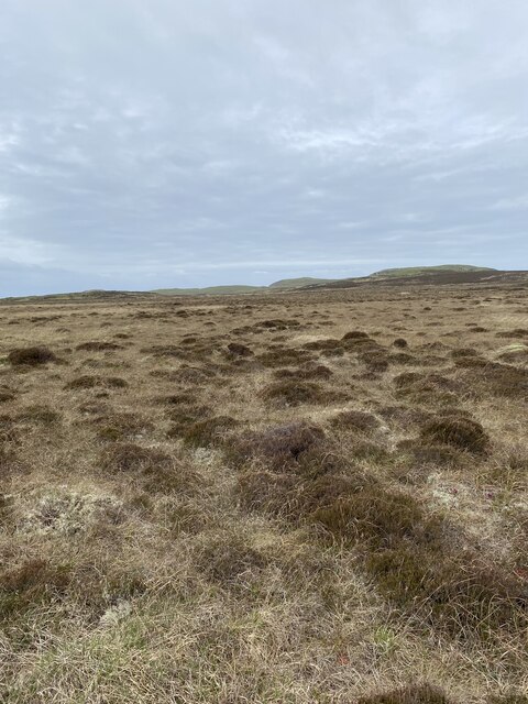
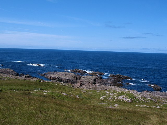
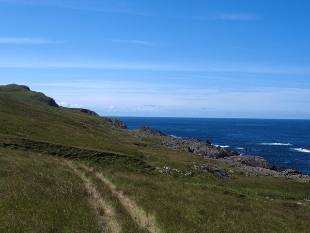
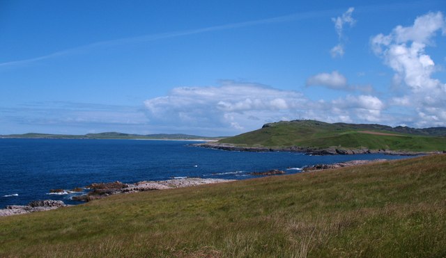
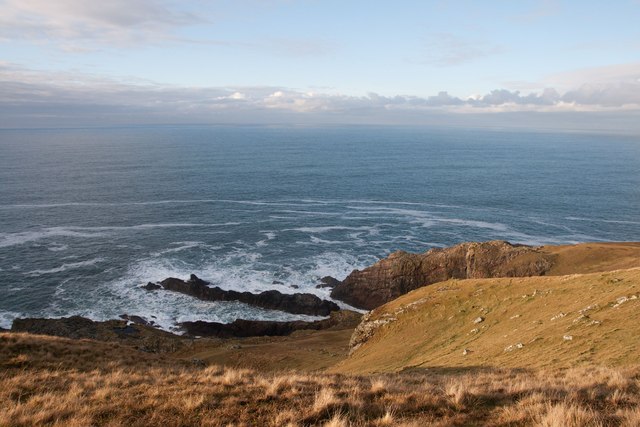
Capull nan Alt is a small island located in Argyllshire, Scotland. It is situated in the Inner Hebrides, specifically within the Firth of Lorn. The island, measuring less than a square kilometer in area, is characterized by its rugged and picturesque landscape.
The name "Capull nan Alt" translates to "horse of the burn" in Scottish Gaelic, reflecting the island's natural features. It is believed that the name originates from a story about a horse that drowned in a nearby river. Despite its small size, the island boasts a diverse range of flora and fauna, making it a haven for nature enthusiasts.
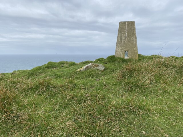
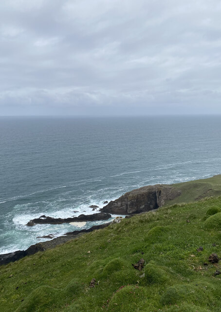
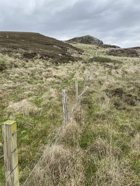
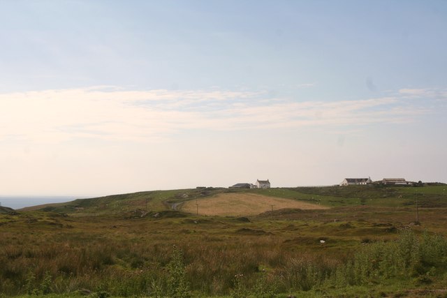
Visitors to Capull nan Alt can expect to find rocky cliffs, sandy beaches, and rolling hills. The coastline is dotted with sea caves and rock formations, providing ample opportunities for exploration. The island is also home to a variety of bird species, including puffins, fulmars, and guillemots, making it a popular spot for birdwatching.
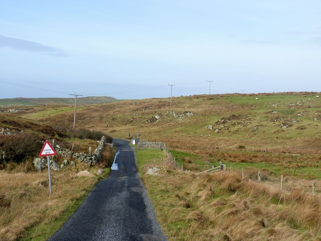
Due to its remote location and limited facilities, Capull nan Alt is uninhabited and primarily visited by day-trippers and nature lovers. There are no permanent structures on the island, making it a serene and untouched natural paradise. Visitors can enjoy hiking, birdwatching, picnicking, and photography while taking in the breathtaking beauty of this hidden gem in Argyllshire.
If you have any feedback on the listing, please let us know in the comments section below.
Capull nan Alt Images
Images are sourced within 2km of 55.73871/-6.4922299 or Grid Reference NR1858. Thanks to Geograph Open Source API. All images are credited.

Capull nan Alt is located at Grid Ref: NR1858 (Lat: 55.73871, Lng: -6.4922299)
Unitary Authority: Argyll and Bute
Police Authority: Argyll and West Dunbartonshire
What 3 Words
///cupcake.insist.september. Near Portnahaven, Argyll & Bute
Nearby Locations
Related Wikis

Rinns of Islay
The Rinns of Islay (Scottish Gaelic: Na Roinn Ìleach; alternative English spelling Rhinns of Islay) is an area on the west of the island of Islay in the...

RAF Kilchiaran
RAF Kilchiaran was a Royal Air Force radar station situated on the Isle of Islay in Scotland. It was originally active from 1940-1945. In 1954 the base...

Easter Ellister
Easter Ellister (Aolastradh) is a settlement on the Rinns of Islay on Islay in the Inner Hebrides of Scotland. It lies just off the A847 road between Portnahaven...

Nerabus
Nerabus (otherwise Nereabolls) is a hamlet in the west of the isle of Islay in Scotland. The vicinity is noted for its scenic qualities and diverse birdlife...

Islay LIMPET
Islay LIMPET was the world's first commercial wave power device and was connected to the United Kingdom's National Grid. == History == Islay LIMPET (Land...

Kilchoman
Kilchoman ( kil-(K)HOM-ən; Scottish Gaelic: Cill Chomain [kʲʰiːʎ ˈxɔmɛɲ]) is a small settlement and large parish on the Scottish island of Islay, within...

Portnahaven
Portnahaven (Scottish Gaelic: Port na h-Abhainne, meaning river port) is a village on Islay in the Inner Hebrides, Scotland. The village is within the...

Kilchoman distillery
Kilchoman distillery (pronounced Kil-ho-man) is a distillery that produces single malt Scotch whisky on Islay, an island of the Inner Hebrides. Kilchoman...
Have you been to Capull nan Alt?
Leave your review of Capull nan Alt below (or comments, questions and feedback).