Eilean Briosg a' Bhraoin
Island in Argyllshire
Scotland
Eilean Briosg a' Bhraoin

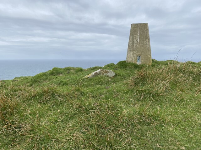
Eilean Briosg a' Bhraoin is a small island located off the coast of Argyllshire, Scotland. It is situated in the Inner Hebrides, specifically in the Sound of Mull. The island covers an area of approximately 0.16 square kilometers and has a maximum elevation of around 65 meters.
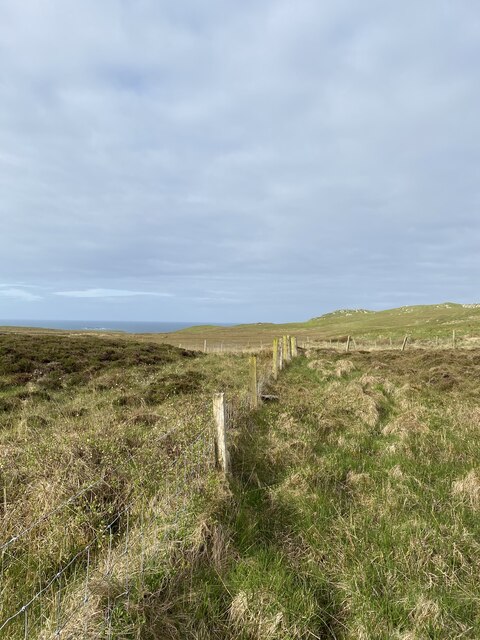
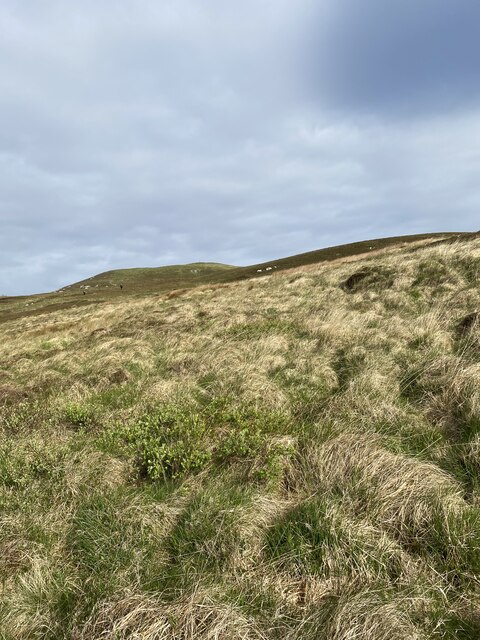
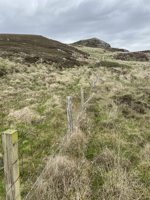
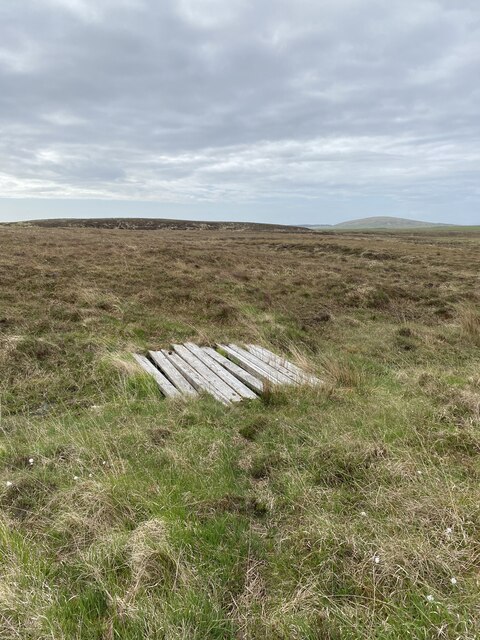
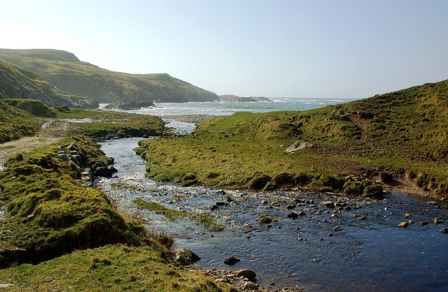
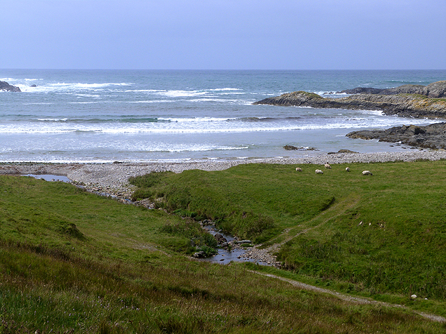
The island is known for its rugged and rocky terrain, which is typical of the Scottish coastline. It is mostly uninhabited and lacks any permanent structures or amenities. The vegetation on the island is primarily composed of heather, grasses, and mosses, creating a picturesque landscape.
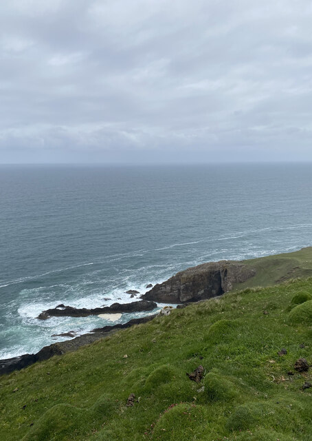
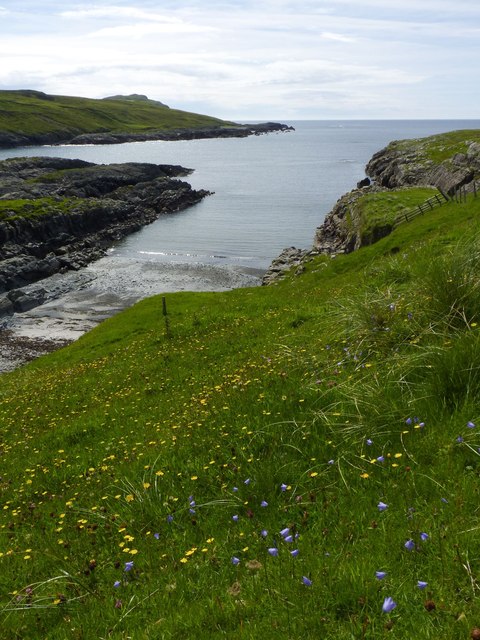
Eilean Briosg a' Bhraoin is surrounded by clear, turquoise waters that serve as a habitat for a variety of marine life. The island is a popular destination for birdwatchers, as it is home to several species of seabirds, including gulls, puffins, and terns. The surrounding waters are also frequented by seals and dolphins, offering opportunities for wildlife enthusiasts.
Due to its remote location and lack of facilities, Eilean Briosg a' Bhraoin is a haven for those seeking solitude and tranquility. It is often visited by hikers and nature lovers who enjoy exploring the island's rugged coastline and observing its diverse flora and fauna.
In summary, Eilean Briosg a' Bhraoin is a small, uninhabited island located off the coast of Argyllshire, Scotland. It offers a rugged and picturesque landscape, abundant wildlife, and a peaceful retreat for those seeking an escape from the hustle and bustle of everyday life.
If you have any feedback on the listing, please let us know in the comments section below.
Eilean Briosg a' Bhraoin Images
Images are sourced within 2km of 55.744727/-6.4858424 or Grid Reference NR1859. Thanks to Geograph Open Source API. All images are credited.


Eilean Briosg a' Bhraoin is located at Grid Ref: NR1859 (Lat: 55.744727, Lng: -6.4858424)
Unitary Authority: Argyll and Bute
Police Authority: Argyll and West Dunbartonshire
What 3 Words
///fakes.directive.sunset. Near Port Charlotte, Argyll & Bute
Related Wikis

Rinns of Islay
The Rinns of Islay (Scottish Gaelic: Na Roinn Ìleach; alternative English spelling Rhinns of Islay) is an area on the west of the island of Islay in the...

RAF Kilchiaran
RAF Kilchiaran was a Royal Air Force radar station situated on the Isle of Islay in Scotland. It was originally active from 1940-1945. In 1954 the base...

Kilchoman
Kilchoman ( kil-(K)HOM-ən; Scottish Gaelic: Cill Chomain [kʲʰiːʎ ˈxɔmɛɲ]) is a small settlement and large parish on the Scottish island of Islay, within...

Nerabus
Nerabus (otherwise Nereabolls) is a hamlet in the west of the isle of Islay in Scotland. The vicinity is noted for its scenic qualities and diverse birdlife...
Have you been to Eilean Briosg a' Bhraoin?
Leave your review of Eilean Briosg a' Bhraoin below (or comments, questions and feedback).