Sloc na Bèiste

Island in Argyllshire

Scotland

Sloc na Bèiste

Disused quarry at Rubha na h-Airde Mòire
Disused quarry at Rubha na h-Airde Mòire Credit: Mick Garratt

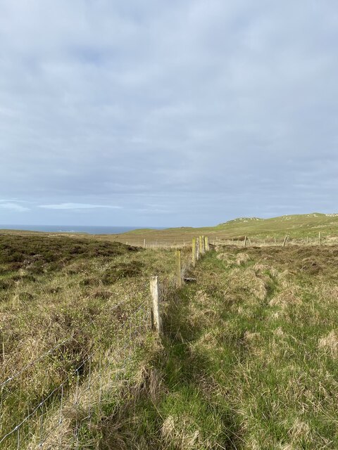
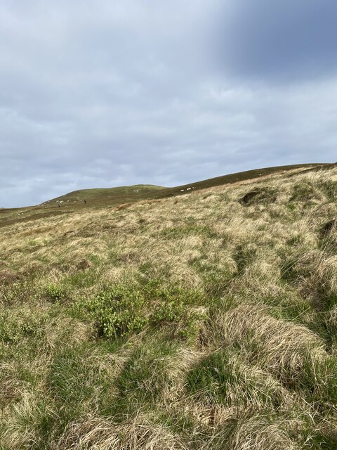
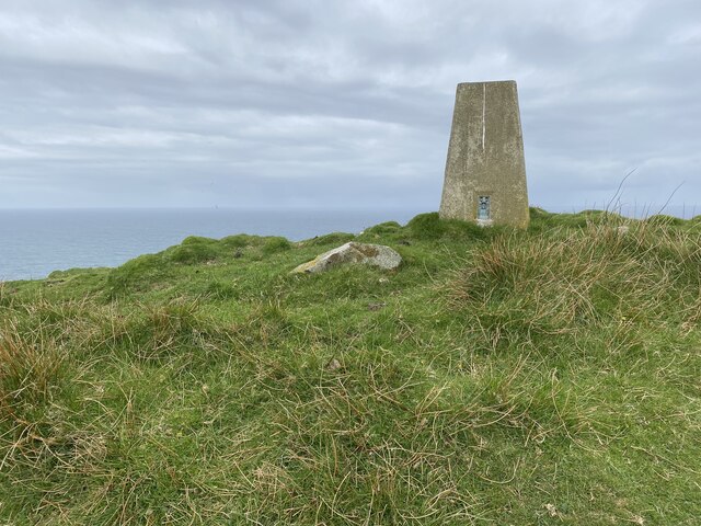
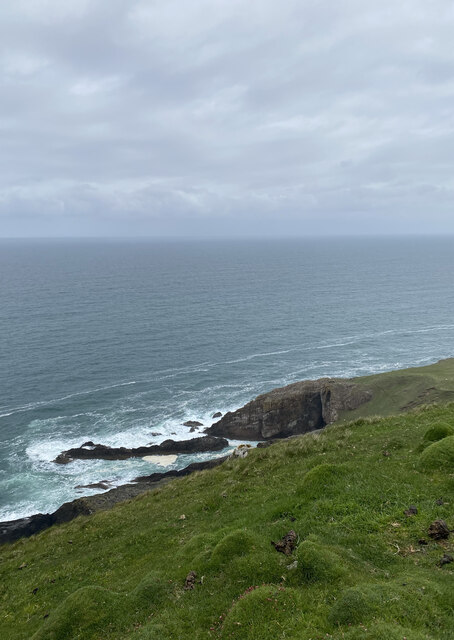
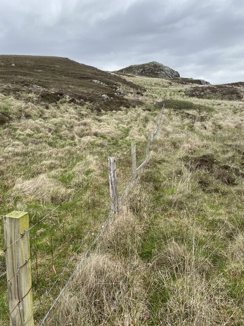
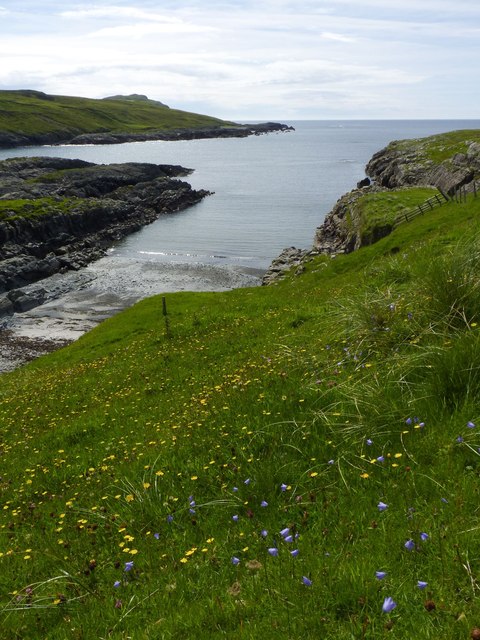
Sloc na Bèiste is a small island located in Argyllshire, Scotland. Situated off the western coast of the mainland, it is part of the Inner Hebrides archipelago. The island is known for its rugged beauty, with steep cliffs and rocky terrain dominating its landscape.

Covering an area of approximately 2 square miles, Sloc na Bèiste is relatively uninhabited, with no permanent residents. Its name, which translates to "Hollow of the Beast" in English, evokes a sense of mystery and intrigue. The island is home to a diverse range of wildlife, including various seabird colonies, seals, and occasionally otters.

Access to Sloc na Bèiste is limited, with no regular ferry or transportation services available. However, adventurous tourists and nature enthusiasts can reach the island by private boat or kayak, weather permitting. The isolation of the island adds to its allure, attracting visitors seeking peace and solitude.

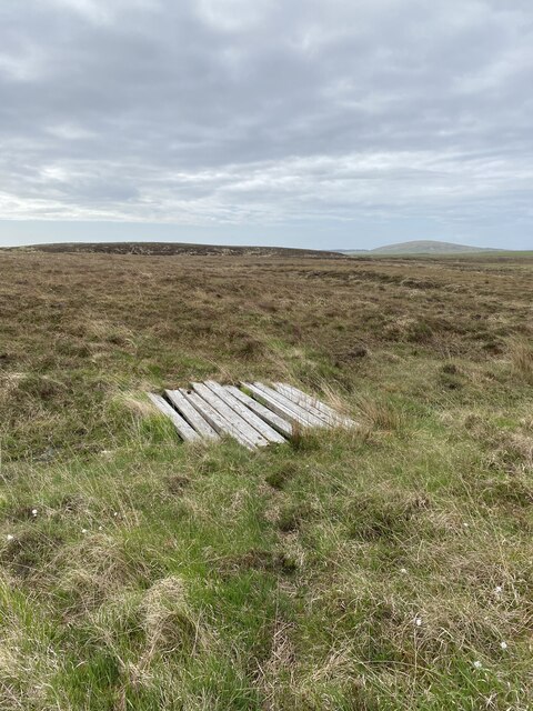
Nature lovers will be captivated by the unique flora and fauna found on Sloc na Bèiste. The island boasts a variety of plant species, including heather, wildflowers, and grasses. It also offers breathtaking panoramic views of the surrounding seascape and nearby islands.

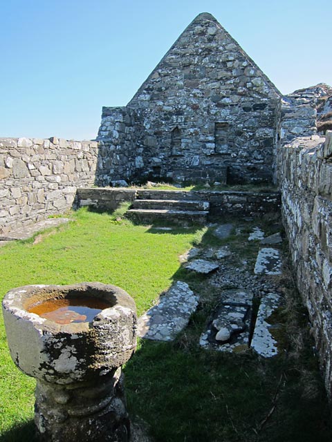
While there are no amenities or services on the island, visitors can enjoy activities such as birdwatching, hiking, and photography. The rugged coastline provides opportunities for exploring hidden coves and sea caves, while the clear waters are ideal for snorkeling and diving.

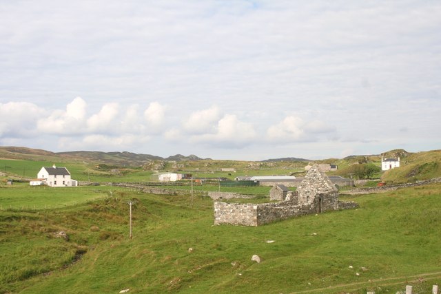
Sloc na Bèiste is a hidden gem in Argyllshire, offering a remote and unspoiled natural environment for those seeking tranquility and an escape from the hustle and bustle of everyday life.

If you have any feedback on the listing, please let us know in the comments section below.

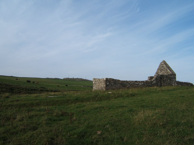
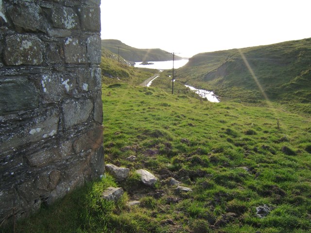
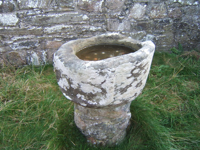
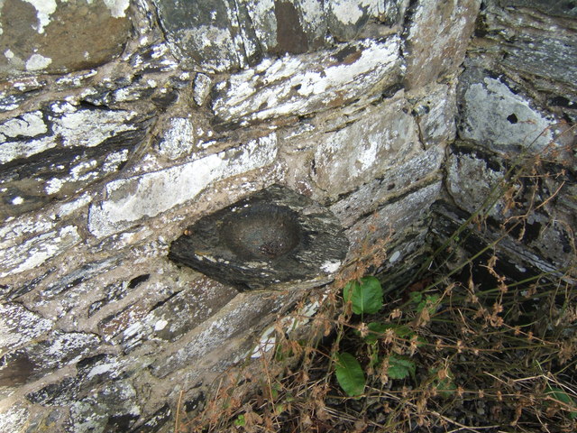
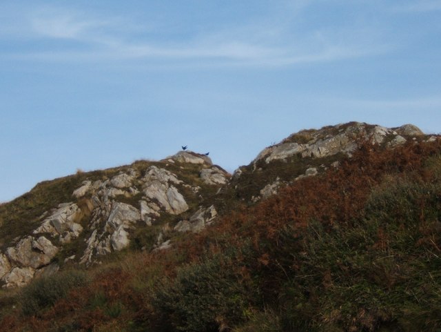
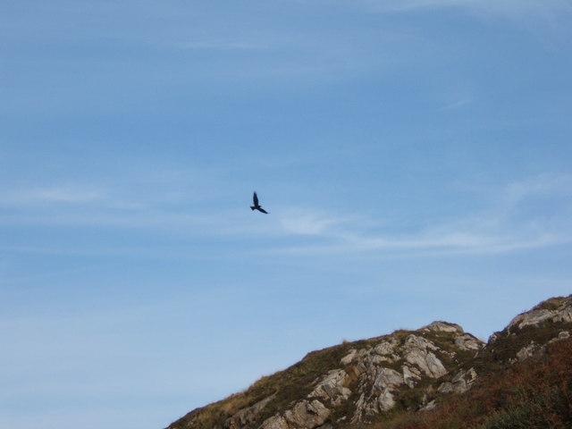
Sloc na Bèiste Images

Images are sourced within 2km of 55.746871/-6.482086 or Grid Reference NR1859. Thanks to Geograph Open Source API. All images are credited.

Disused quarry at Rubha na h-Airde Mòire
Kilchiaran Bay
Kilchiaran Bay
Fenceline near Beinn Seasaimh
Moorland on the way to Beinn Seasaimh
Beinn Seasaimh Trig Point Flush Bracket S9072
Sea views from Beinn Seasaimh
Remains of fenceline
ATV bridge?
ATV bridge?
Kilchiaran Bay, Islay With ruined chapel in distance.
Kilchiaran Bay, Islay
With ruined chapel in distance.
Cill Chiarain The church of Saint Ciaron, this church originates from around 1200.
Cill Chiarain
The church of Saint Ciaron, this church originates from around 1200.
Kilchiaran chapel Enough remains inside the chapel to visualise it as a place of worship. The mediaeval font is near the west wall and there are still recesses in the east wall behind the reconstructed altar.
Kilchiaran chapel
Enough remains inside the chapel to visualise it as a place of worship. The mediaeval font is near the west wall and there are still recesses in the east wall behind the reconstructed altar.
Harebells at Kilchiaran, Islay
Kilchiaran Chapel Restoration in the early 1970s saved this remote chapel from complete ruination.
Kilchiaran Chapel
Restoration in the early 1970s saved this remote chapel from complete ruination.
View to Kilchiaran Bay from the chapel
Ancient font on a modern base The font at Kilchiaran was raised on a new base in the early 1970s.
Ancient font on a modern base
The font at Kilchiaran was raised on a new base in the early 1970s.
Ancient piscina, Kilchiaran Chapel Shallow dish for the washing of holy vessels, in the wall near where once the altar would have been.
Ancient piscina, Kilchiaran Chapel
Shallow dish for the washing of holy vessels, in the wall near where once the altar would have been.
Pair of choughs on the crags by Kilchiaran The chough is on the RSPB amber list, see <span class="nowrap"><a title="http://www.rspb.org.uk/wildlife/birdguide/name/c/chough/index.aspx" rel="nofollow ugc noopener" href="http://www.rspb.org.uk/wildlife/birdguide/name/c/chough/index.aspx">Link</a><img style="margin-left:2px;" alt="External link" title="External link - shift click to open in new window" src="https://s1.geograph.org.uk/img/external.png" width="10" height="10"/></span> . Kilchiaran Farm is involved in a scheme to encourage the birds to flourish on Islay, see <a href="https://www.geograph.org.uk/photo/700160">NR2060 : Kilchiaran Farm Information Board</a>.
Pair of choughs on the crags by Kilchiaran
The chough is on the RSPB amber list, see LinkExternal link . Kilchiaran Farm is involved in a scheme to encourage the birds to flourish on Islay, see NR2060 : Kilchiaran Farm Information Board.
Chough in flight, Kilchiaran The chough is not a common bird, and is being encouraged to flourish on Islay - see <a href="https://www.geograph.org.uk/photo/3599538">NR2060 : Pair of choughs on the crags by Kilchiaran</a> for RSPB status and further details.
Chough in flight, Kilchiaran
The chough is not a common bird, and is being encouraged to flourish on Islay - see NR2060 : Pair of choughs on the crags by Kilchiaran for RSPB status and further details.
Show me another place!

Sloc na Bèiste is located at Grid Ref: NR1859 (Lat: 55.746871, Lng: -6.482086)

Unitary Authority: Argyll and Bute

Police Authority: Argyll and West Dunbartonshire

What 3 Words

///crisper.enforced.illogical. Near Port Charlotte, Argyll & Bute

Related Wikis

RAF Kilchiaran

RAF Kilchiaran was a Royal Air Force radar station situated on the Isle of Islay in Scotland. It was originally active from 1940-1945. In 1954 the base...

Rinns of Islay

The Rinns of Islay (Scottish Gaelic: Na Roinn Ìleach; alternative English spelling Rhinns of Islay) is an area on the west of the island of Islay in the...

Kilchoman

Kilchoman ( kil-(K)HOM-ən; Scottish Gaelic: Cill Chomain [kʲʰiːʎ ˈxɔmɛɲ]) is a small settlement and large parish on the Scottish island of Islay, within...

Kilchoman distillery

Kilchoman distillery (pronounced Kil-ho-man) is a distillery that produces single malt Scotch whisky on Islay, an island of the Inner Hebrides. Kilchoman...

Nearby Amenities

Located within 500m of 55.746871,-6.482086
Source: PGS
Lat/Long: 55.7477001/-6.4785078
The data included in this document is from www.openstreetmap.org. The data is made available under ODbL.

Have you been to Sloc na Bèiste?

Leave your review of Sloc na Bèiste below (or comments, questions and feedback).