Eilean an Tannais-sgeir

Island in Argyllshire

Scotland

Eilean an Tannais-sgeir

Wreck of The Abbey, a wooden paddle steamer, 11 April 1839 For more information see <span class="nowrap"><a title="https://canmore.org.uk/site/222301" rel="nofollow ugc noopener" href="https://canmore.org.uk/site/222301">Link</a><img style="margin-left:2px;" alt="External link" title="External link - shift click to open in new window" src="https://s1.geograph.org.uk/img/external.png" width="10" height="10"/></span>.
Wreck of The Abbey, a wooden paddle steamer, 11 April 1839 Credit: Mick Garratt

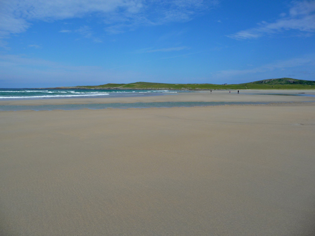
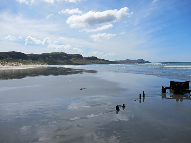
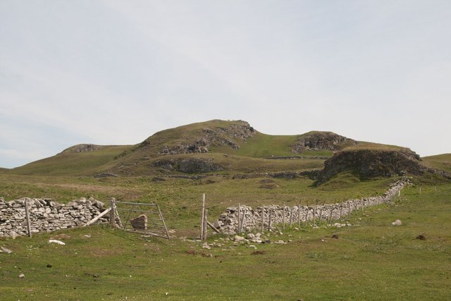
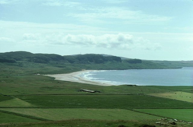
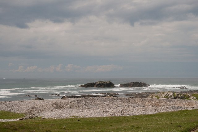
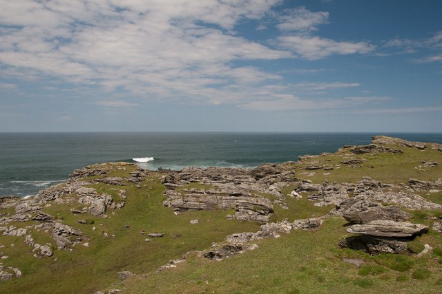
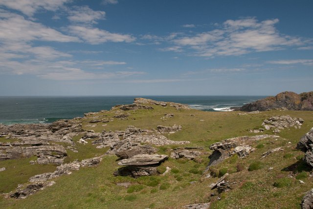
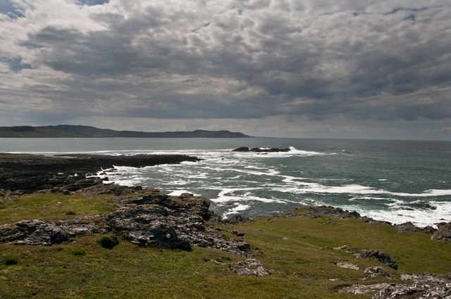
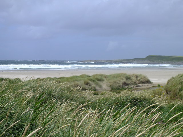
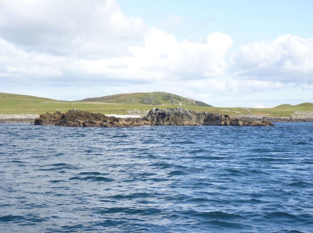
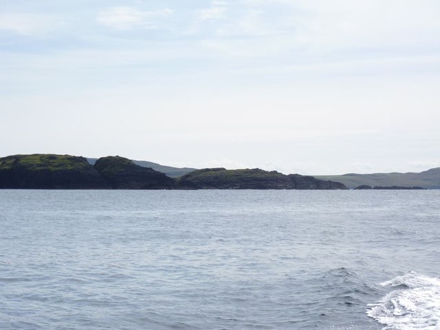
Eilean an Tannais-sgeir is a small uninhabited island located off the west coast of Scotland in Argyllshire. It is part of the Inner Hebrides, specifically situated in the Firth of Lorn. The island is known for its rugged and rocky terrain, with steep cliffs rising from the surrounding sea.

Measuring approximately 100 meters in length and 40 meters in width, Eilean an Tannais-sgeir is a relatively small island. It is composed mainly of basalt, a volcanic rock, which gives the island its distinctive dark appearance. The island is also home to various seabirds, including puffins, guillemots, and razorbills, which nest on the cliffs during the breeding season.

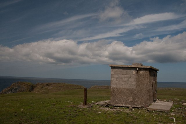
Access to Eilean an Tannais-sgeir is challenging due to the island's remote location and lack of infrastructure. It is primarily visited by birdwatchers and nature enthusiasts who are drawn to the island's unique wildlife and natural beauty. The surrounding waters are also popular among divers, who are attracted to the diverse marine life and underwater rock formations.

Although there are no permanent human residents on Eilean an Tannais-sgeir, the island has a rich cultural history. It is believed to have been used as a hunting ground by the ancient inhabitants of the region and has been mentioned in various historical documents. Today, the island serves as a protected nature reserve, ensuring the preservation of its unique ecosystem and heritage for future generations.

If you have any feedback on the listing, please let us know in the comments section below.

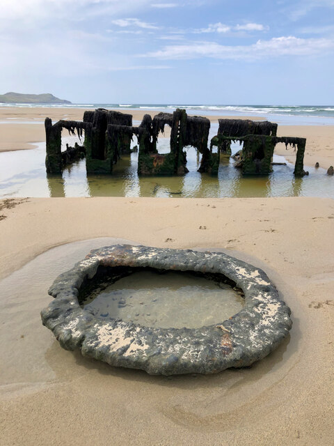
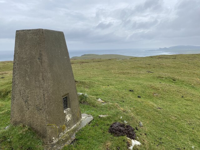
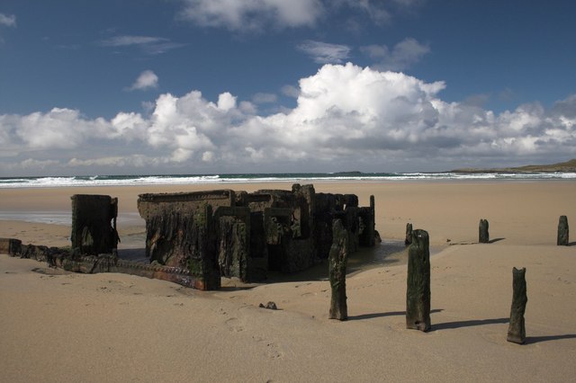
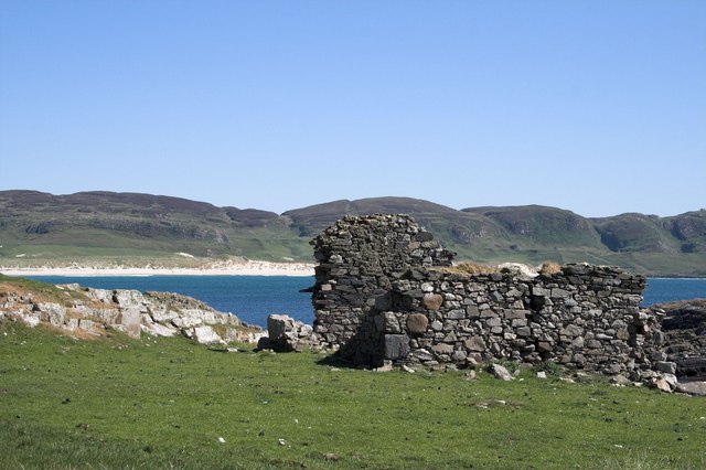
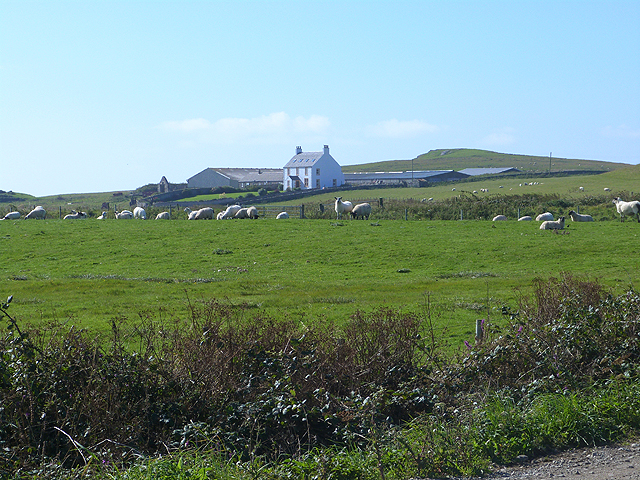
Eilean an Tannais-sgeir Images

Images are sourced within 2km of 55.786088/-6.4872991 or Grid Reference NR1863. Thanks to Geograph Open Source API. All images are credited.

Wreck of The Abbey, a wooden paddle steamer, 11 April 1839 For more information see <span class="nowrap"><a title="https://canmore.org.uk/site/222301" rel="nofollow ugc noopener" href="https://canmore.org.uk/site/222301">Link</a><img style="margin-left:2px;" alt="External link" title="External link - shift click to open in new window" src="https://s1.geograph.org.uk/img/external.png" width="10" height="10"/></span>.
Wreck of The Abbey, a wooden paddle steamer, 11 April 1839
For more information see LinkExternal link.
Cnoc Mor Trig Point Flush Bracket S9081
Remains of Shipwreck, Machir Bay, Islay
Ruin west of Machir Bay, Islay This is now an historic photo as the ruin has been converted into a 'Chough House' for Choughs to nest in.
Ruin west of Machir Bay, Islay
This is now an historic photo as the ruin has been converted into a 'Chough House' for Choughs to nest in.
Tràigh Mhachir Looking towards the north end of the beach on Machir Bay.
Tràigh Mhachir
Looking towards the north end of the beach on Machir Bay.
Tràigh Mhachir Looking south along the coast with some wonderful reflections in the wet sand and the remains of a shipwreck at the water's edge.
Tràigh Mhachir
Looking south along the coast with some wonderful reflections in the wet sand and the remains of a shipwreck at the water's edge.
Wartime lookout building, Carn Mòr, Islay
Crags near Saligo, Islay
View from Cnoc Mòr Over pasture and farm buildings with Tràigh Mhachir in the distance.
View from Cnoc Mòr
Over pasture and farm buildings with Tràigh Mhachir in the distance.
Eilean an Tannais Sgeir, near Coul Point, Islay Tannais may be a corruption of Tannasg (spectre), which is an interesting translation. But maybe there's a more plausible explanation!
Eilean an Tannais Sgeir, near Coul Point, Islay
Tannais may be a corruption of Tannasg (spectre), which is an interesting translation. But maybe there's a more plausible explanation!
Coul Point, Islay
Coul Point, Islay
Coul Point, Islay
Coul Point, Islay
Coul Point, Islay Looking towards An Dòirlinn and Eilean an Tannais-sgeir (possibly Spectre Rock)
Coul Point, Islay
Looking towards An Dòirlinn and Eilean an Tannais-sgeir (possibly Spectre Rock)
Machir Bay, Islay The bent stems of the marram grass and white crests to the waves are evidence of the worsening weather.
Machir Bay, Islay
The bent stems of the marram grass and white crests to the waves are evidence of the worsening weather.
Eilean an Tannais-sgeir, Islay Taken from a boat on a boat trip round Islay.
Eilean an Tannais-sgeir, Islay
Taken from a boat on a boat trip round Islay.
Reidh a' Bhuirg, near Coul Point, Islay 'Level ground of the fortress'. The fort is situated in the next gridsquare, NR 1964.
Reidh a' Bhuirg, near Coul Point, Islay
'Level ground of the fortress'. The fort is situated in the next gridsquare, NR 1964.
Machir Bay Where the Allt Gleann na Ceardaich flows onto the beach.
Machir Bay
Where the Allt Gleann na Ceardaich flows onto the beach.
Coull Farm Farm behind Machir Bay.
Coull Farm
Farm behind Machir Bay.
Show me another place!

Eilean an Tannais-sgeir is located at Grid Ref: NR1863 (Lat: 55.786088, Lng: -6.4872991)

Unitary Authority: Argyll and Bute

Police Authority: Argyll and West Dunbartonshire

What 3 Words

///objective.staring.emphasis. Near Port Charlotte, Argyll & Bute

Related Wikis

HMS Graph

HMS Graph (pennant number P715) was a German Type VIIC U-boat that the British Royal Navy captured during World War II. Commissioned as U-570 in Nazi Germany...

Kilchoman

Kilchoman ( kil-(K)HOM-ən; Scottish Gaelic: Cill Chomain [kʲʰiːʎ ˈxɔmɛɲ]) is a small settlement and large parish on the Scottish island of Islay, within...

RAF Kilchiaran

RAF Kilchiaran was a Royal Air Force radar station situated on the Isle of Islay in Scotland. It was originally active from 1940-1945. In 1954 the base...

Kilchoman distillery

Kilchoman distillery (pronounced Kil-ho-man) is a distillery that produces single malt Scotch whisky on Islay, an island of the Inner Hebrides. Kilchoman...

Have you been to Eilean an Tannais-sgeir?

Leave your review of Eilean an Tannais-sgeir below (or comments, questions and feedback).