Caolas na Dòirlinne

Sea, Estuary, Creek in Argyllshire

Scotland

Caolas na Dòirlinne

Wreck of The Abbey, a wooden paddle steamer, 11 April 1839 For more information see <span class="nowrap"><a title="https://canmore.org.uk/site/222301" rel="nofollow ugc noopener" href="https://canmore.org.uk/site/222301">Link</a><img style="margin-left:2px;" alt="External link" title="External link - shift click to open in new window" src="https://s1.geograph.org.uk/img/external.png" width="10" height="10"/></span>.
Wreck of The Abbey, a wooden paddle steamer, 11 April 1839 Credit: Mick Garratt

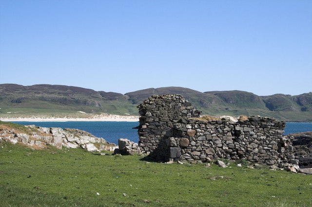
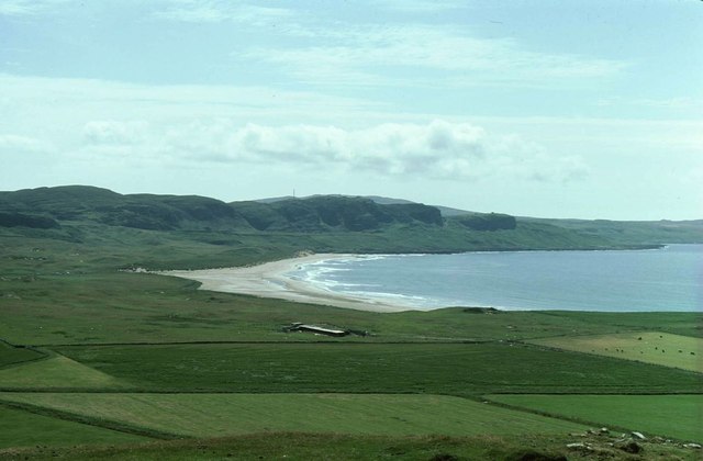
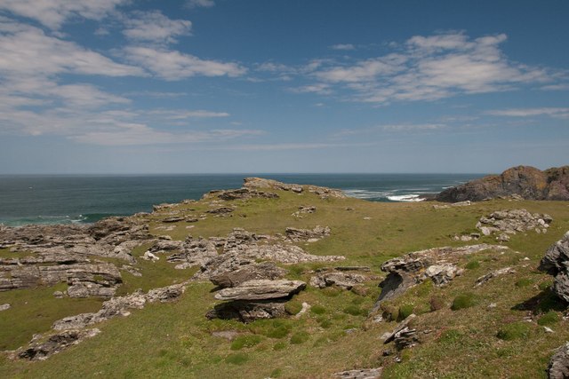
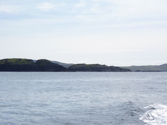
Caolas na Dòirlinne, also known as the Sound of Dòirlinne, is a picturesque sea inlet located in Argyllshire, Scotland. Nestled on the western coast of the country, this natural waterway stretches approximately 2 kilometers long, forming a narrow channel between the mainland and the island of Colonsay.

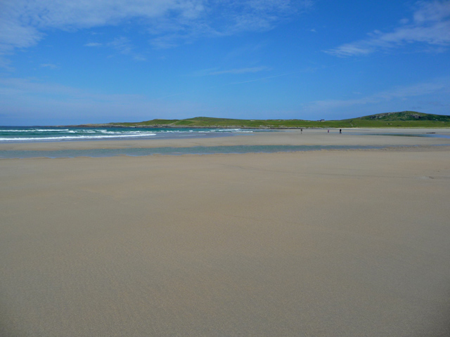
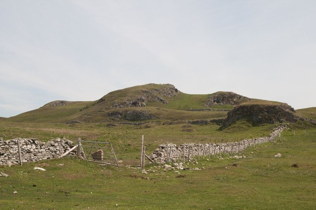
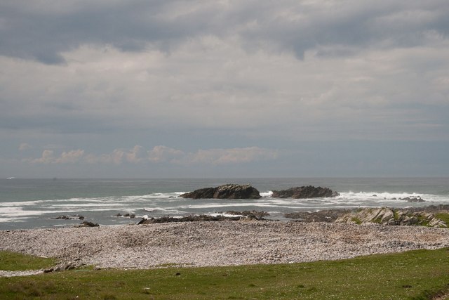
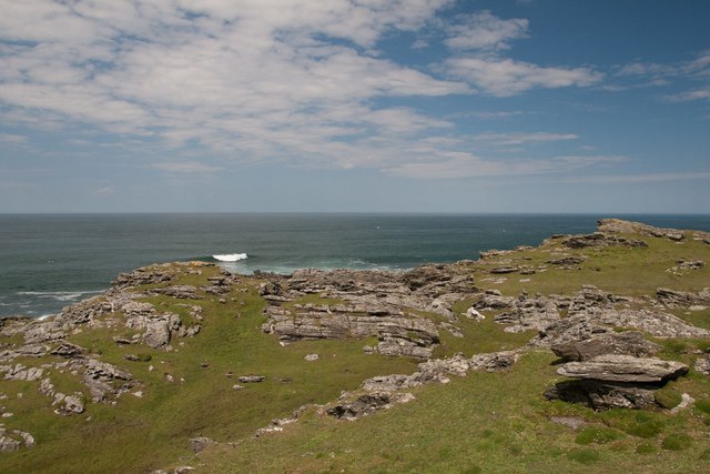
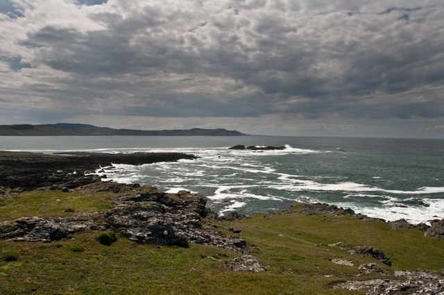
The sea inlet is characterized by its stunning natural beauty, with deep blue waters that are often calm and tranquil. The shores surrounding Caolas na Dòirlinne are mostly rocky and lined with verdant vegetation, providing a picturesque backdrop to the sea. The area is also known for its diverse marine life, with occasional sightings of seals, dolphins, and even basking sharks.

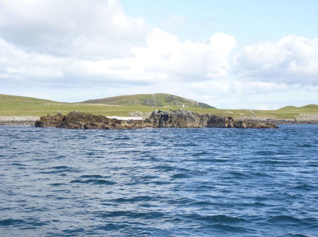
Caolas na Dòirlinne is not only a beautiful natural feature but also serves as an important transport route for local fishermen and boaters. The channel provides a safe passage for both small fishing vessels and larger boats, offering a convenient access point to the nearby islands and mainland ports.

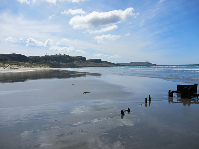
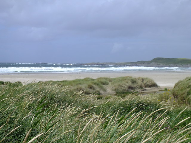
The sea inlet is also a popular spot for outdoor enthusiasts and nature lovers. Visitors can explore the area by kayak or boat, taking in the breathtaking coastal scenery and enjoying the tranquility of the surroundings. There are also several walking trails along the shoreline, allowing visitors to immerse themselves in the natural beauty of the region.

Overall, Caolas na Dòirlinne is a stunning sea inlet that showcases the remarkable beauty of the Scottish coastline. With its calm waters, diverse marine life, and breathtaking scenery, it offers a serene and captivating experience for all who visit.

If you have any feedback on the listing, please let us know in the comments section below.

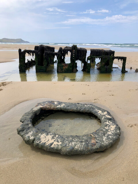
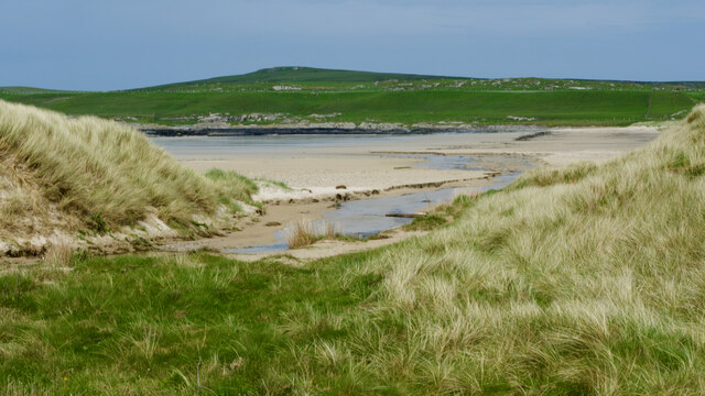
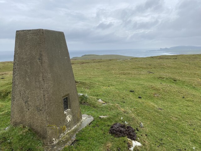
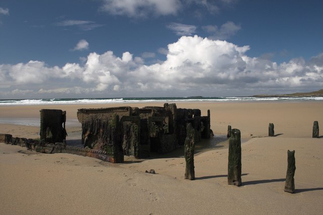
Caolas na Dòirlinne Images

Images are sourced within 2km of 55.787283/-6.4858404 or Grid Reference NR1863. Thanks to Geograph Open Source API. All images are credited.

Wreck of The Abbey, a wooden paddle steamer, 11 April 1839 For more information see <span class="nowrap"><a title="https://canmore.org.uk/site/222301" rel="nofollow ugc noopener" href="https://canmore.org.uk/site/222301">Link</a><img style="margin-left:2px;" alt="External link" title="External link - shift click to open in new window" src="https://s1.geograph.org.uk/img/external.png" width="10" height="10"/></span>.
Wreck of The Abbey, a wooden paddle steamer, 11 April 1839
For more information see LinkExternal link.
Allt Gleann na Ceardaich
Cnoc Mor Trig Point Flush Bracket S9081
Remains of Shipwreck, Machir Bay, Islay
Ruin west of Machir Bay, Islay This is now an historic photo as the ruin has been converted into a 'Chough House' for Choughs to nest in.
Ruin west of Machir Bay, Islay
This is now an historic photo as the ruin has been converted into a 'Chough House' for Choughs to nest in.
Tràigh Mhachir Looking towards the north end of the beach on Machir Bay.
Tràigh Mhachir
Looking towards the north end of the beach on Machir Bay.
Tràigh Mhachir Looking south along the coast with some wonderful reflections in the wet sand and the remains of a shipwreck at the water's edge.
Tràigh Mhachir
Looking south along the coast with some wonderful reflections in the wet sand and the remains of a shipwreck at the water's edge.
Wartime lookout building, Carn Mòr, Islay
Crags near Saligo, Islay
View from Cnoc Mòr Over pasture and farm buildings with Tràigh Mhachir in the distance.
View from Cnoc Mòr
Over pasture and farm buildings with Tràigh Mhachir in the distance.
Eilean an Tannais Sgeir, near Coul Point, Islay Tannais may be a corruption of Tannasg (spectre), which is an interesting translation. But maybe there's a more plausible explanation!
Eilean an Tannais Sgeir, near Coul Point, Islay
Tannais may be a corruption of Tannasg (spectre), which is an interesting translation. But maybe there's a more plausible explanation!
Coul Point, Islay
Coul Point, Islay
Coul Point, Islay
Coul Point, Islay
Coul Point, Islay Looking towards An Dòirlinn and Eilean an Tannais-sgeir (possibly Spectre Rock)
Coul Point, Islay
Looking towards An Dòirlinn and Eilean an Tannais-sgeir (possibly Spectre Rock)
Machir Bay, Islay The bent stems of the marram grass and white crests to the waves are evidence of the worsening weather.
Machir Bay, Islay
The bent stems of the marram grass and white crests to the waves are evidence of the worsening weather.
Machir Bay, Islay Not mist but sea spray being blown inland by high winds. The seaweed has been torn up by the overnight gales.
Machir Bay, Islay
Not mist but sea spray being blown inland by high winds. The seaweed has been torn up by the overnight gales.
Eilean an Tannais-sgeir, Islay Taken from a boat on a boat trip round Islay.
Eilean an Tannais-sgeir, Islay
Taken from a boat on a boat trip round Islay.
Reidh a' Bhuirg, near Coul Point, Islay 'Level ground of the fortress'. The fort is situated in the next gridsquare, NR 1964.
Reidh a' Bhuirg, near Coul Point, Islay
'Level ground of the fortress'. The fort is situated in the next gridsquare, NR 1964.
Show me another place!

Caolas na Dòirlinne is located at Grid Ref: NR1863 (Lat: 55.787283, Lng: -6.4858404)

Unitary Authority: Argyll and Bute

Police Authority: Argyll and West Dunbartonshire

What 3 Words

///finalists.grudges.quiet. Near Port Charlotte, Argyll & Bute

Related Wikis

HMS Graph

HMS Graph (pennant number P715) was a German Type VIIC U-boat that the British Royal Navy captured during World War II. Commissioned as U-570 in Nazi Germany...

Kilchoman

Kilchoman ( kil-(K)HOM-ən; Scottish Gaelic: Cill Chomain [kʲʰiːʎ ˈxɔmɛɲ]) is a small settlement and large parish on the Scottish island of Islay, within...
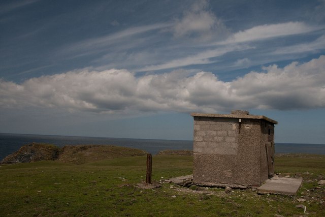
RAF Kilchiaran

RAF Kilchiaran was a Royal Air Force radar station situated on the Isle of Islay in Scotland. It was originally active from 1940-1945. In 1954 the base...

Kilchoman distillery

Kilchoman distillery (pronounced Kil-ho-man) is a distillery that produces single malt Scotch whisky on Islay, an island of the Inner Hebrides. Kilchoman...

Nearby Amenities

Located within 500m of 55.787283,-6.4858404
Place: islet
Lat/Long: 55.7910654/-6.4867493
The data included in this document is from www.openstreetmap.org. The data is made available under ODbL.

Have you been to Caolas na Dòirlinne?

Leave your review of Caolas na Dòirlinne below (or comments, questions and feedback).