Lowertown

Settlement in Cornwall

England

Lowertown

Bus shelter, Lockengate
Bus shelter, Lockengate Credit: David Smith

Lowertown is a charming village located in Cornwall, a county in southwestern England. Situated on the banks of the River Tamar, it is part of the parish of St. Stephen-by-Launceston. With a population of around 500 residents, it offers a peaceful and idyllic setting.

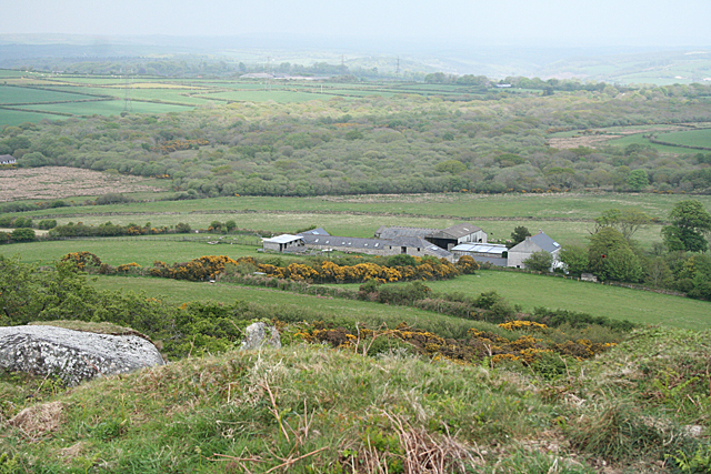
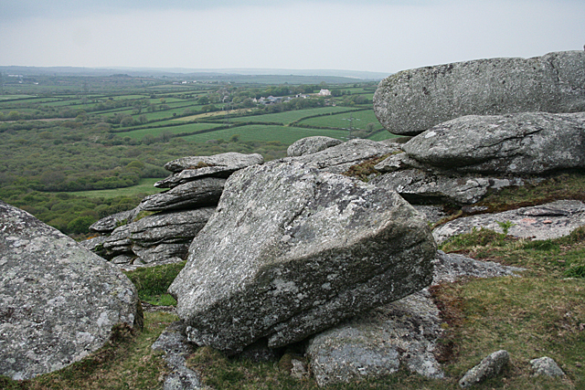
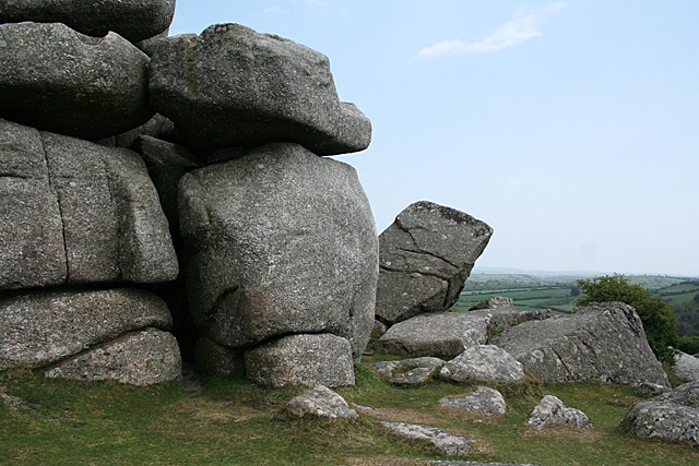
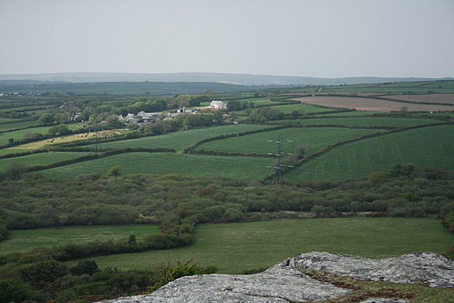
One of the most notable features of Lowertown is its picturesque landscape. Surrounded by rolling hills and lush greenery, it is a haven for nature lovers and outdoor enthusiasts. The River Tamar adds to the beauty of the village, offering stunning views and opportunities for boating and fishing.

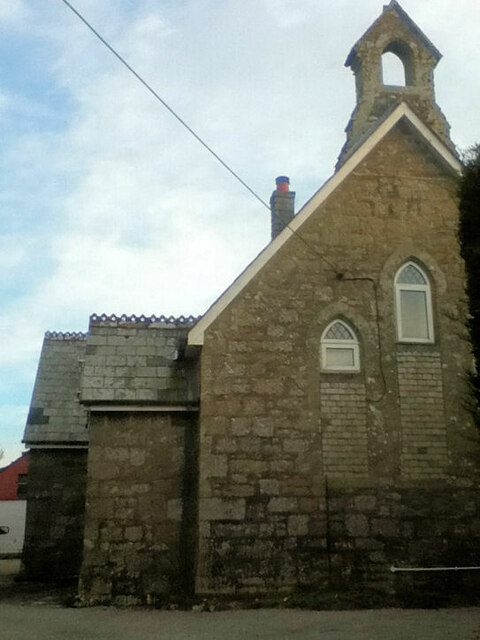
The architecture in Lowertown is a mix of historic and modern buildings, providing a glimpse into the village's rich past. One of the highlights is the St. Stephen's Church, a Grade II listed building dating back to the 15th century. Its intricate design and beautiful stained glass windows attract visitors from near and far.

Despite its small size, Lowertown offers a range of amenities for its residents and visitors. There are a few local shops and a cozy pub where locals gather for a drink and socialize. The village also has a primary school, ensuring that families have easy access to education.

Lowertown is conveniently located near the town of Launceston, which provides additional amenities and services. It is well-connected to other parts of Cornwall through road and rail networks, making it easily accessible for those who wish to explore the wider region.

Overall, Lowertown is a peaceful and scenic village that offers a tranquil retreat for those seeking to escape the hustle and bustle of city life.

If you have any feedback on the listing, please let us know in the comments section below.
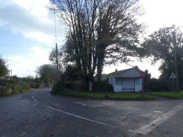
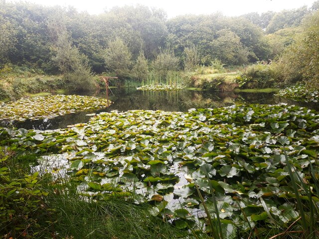
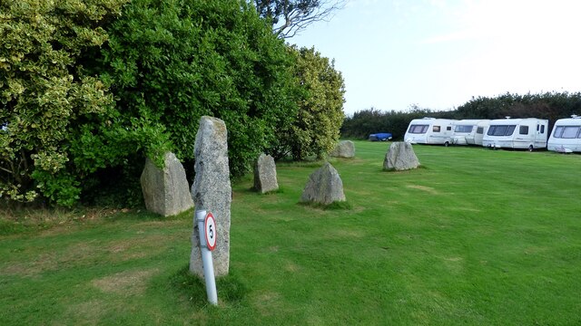
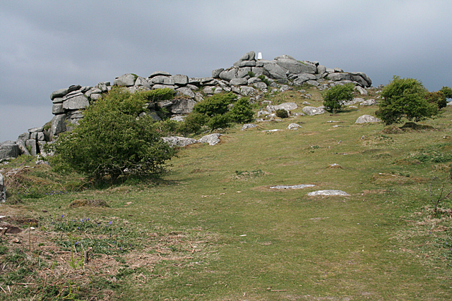
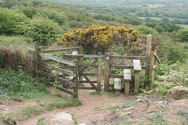
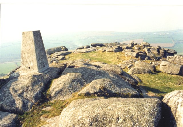
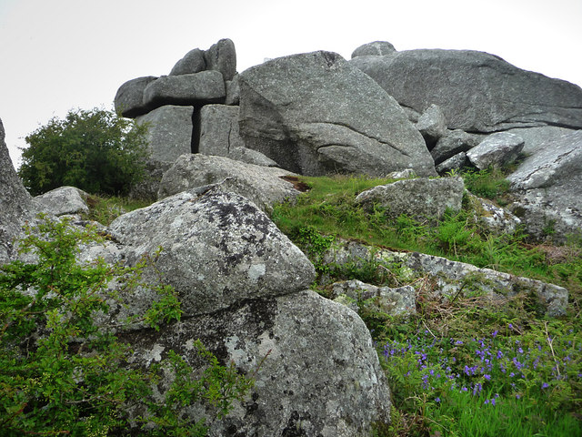
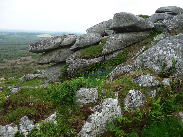
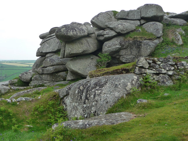
Lowertown Images

Images are sourced within 2km of 50.416418/-4.7461656 or Grid Reference SX0561. Thanks to Geograph Open Source API. All images are credited.

Bus shelter, Lockengate
Lily Pond at Mena Farm Campsite
Granite stones at Mena Farm Camp Site
Lockengate Mission Church Now a private dwelling.
Lockengate Mission Church
Now a private dwelling.
The A391 heading south from A30, Bodmin
The A391 at Lockengate village sign
The A391 at Lockengate
Lanlivery: tree and tor On Helman Tor
Lanlivery: tree and tor
On Helman Tor
Lanlivery: Higher Trevilmick Farm seen from Helman Tor. On the edge of Red Moor Nature Reserve. In Lanlivery parish
Lanlivery: Higher Trevilmick
Farm seen from Helman Tor. On the edge of Red Moor Nature Reserve. In Lanlivery parish
Lanlivery: on Helman Tor Looking north west towards Bokiddick and Bokiddick Downs
Lanlivery: on Helman Tor
Looking north west towards Bokiddick and Bokiddick Downs
Lanlivery: Logan Stone On Helman Tor. The Logan Stone is top, centre. In Lanlivery parish
Lanlivery: Logan Stone
On Helman Tor. The Logan Stone is top, centre. In Lanlivery parish
Lanlivery: Bokiddick Seen from Helman Tor
Lanlivery: Bokiddick
Seen from Helman Tor
Lanlivery: Helman Tor The approach from the south; from the car park. The trig point on top of the tor has been painted white
Lanlivery: Helman Tor
The approach from the south; from the car park. The trig point on top of the tor has been painted white
Lanlivery: gate and stile These provide access to Helman Tor. The tor's small car park lies beyond, to the left
Lanlivery: gate and stile
These provide access to Helman Tor. The tor's small car park lies beyond, to the left
Helman Tor triangulation pillar The trig point has an Ordnance Survey flush bracket bench mark with serial number S7862. Some youngsters on the same climb thought the 7862 referred to height above sea level. More details of the pillar at <span class="nowrap"><a title="http://www.trigpointinguk.com/trigs/trig-details.php?t=3722" rel="nofollow ugc noopener" href="http://www.trigpointinguk.com/trigs/trig-details.php?t=3722">Link</a><img style="margin-left:2px;" alt="External link" title="External link - shift click to open in new window" src="https://s1.geograph.org.uk/img/external.png" width="10" height="10"/></span>
Helman Tor triangulation pillar
The trig point has an Ordnance Survey flush bracket bench mark with serial number S7862. Some youngsters on the same climb thought the 7862 referred to height above sea level. More details of the pillar at LinkExternal link
Helman Tor
Helman Tor
Helman Tor
Helman Tor
Helman Tor
Helman Tor
Show me another place!

Lowertown is located at Grid Ref: SX0561 (Lat: 50.416418, Lng: -4.7461656)

Unitary Authority: Cornwall

Police Authority: Devon and Cornwall

What 3 Words

///carpeted.forgets.nuns. Near Bugle, Cornwall

Related Wikis

Lowertown, Luxulyan

Lowertown is a hamlet in the civil parish of Luxulyan, where the population in the 2011 census was included, in Cornwall, England. Lowertown is approximately...

Corgee, Cornwall

Corgee (Cornish: Komm) is a hamlet in Cornwall, England, United Kingdom. It is situated approximately two miles (3 km) south of Lanivet. == References ==

Breney Common

Breney Common is a nature reserve and Site of Special Scientific Interest, noted for its biological characteristics, in mid Cornwall, England, UK. It is...

Bokiddick

Bokiddick is a hamlet in Cornwall, England, United Kingdom. It is approximately one mile south of Lanivet at grid reference SX 051 622 and is centred on...

Nearby Amenities

Located within 500m of 50.416418,-4.7461656
Cornwall
Gns Classification: ADM1
Gns Uni: 6086917
Is In Country: United Kingdom
Is In Country Code: GB
Name En: Cornwall
Name Kw: Kernow
Place: county
Source: GNS
Lat/Long: 50.416667/-4.75
Post Box
Collection Times: Mo-Fr 09:00; Sa 07:00
Ref: PL30 152
Royal Cypher: EIIR
Lat/Long: 50.41885/-4.74283
Parking
Lat/Long: 50.4188312/-4.7425636
Gunwen Farm
Name Kw: Goonwynn
Place: locality
Lat/Long: 50.4135466/-4.7442588
Lowertown
Place: hamlet
Wikidata: Q6693980
Lat/Long: 50.4186888/-4.7427774
The data included in this document is from www.openstreetmap.org. The data is made available under ODbL.

Have you been to Lowertown?

Leave your review of Lowertown below (or comments, questions and feedback).